Ghumoopedia — Explore, Discover, Experience
Sign in
Pichavaram Mangrove Forest, near Parangipettai

City guide · Tamil Nadu

Parangipettai

Parangipettai is a coastal town in Cuddalore district, set beside the mouth of the Vellar River on Tamil Nadu’s Coromandel Coast. Historically known as Porto Novo, it grew as a port linking the region with traders from Arabia and Southeast Asia.

Famous for

  • Historic Porto Novo port
  • Vellar River estuary
  • Marine biology station
  • Silk and chintz trade
  • Seva Mandir school

Why Parangipettai matters

Parangipettai is a coastal town in Cuddalore district, set beside the mouth of the Vellar River on Tamil Nadu’s Coromandel Coast. Historically known as Porto Novo, it grew as a port linking the region with traders from Arabia and Southeast Asia. Its river-mouth setting and layered maritime past give the town a distinctive place among the smaller coastal settlements between Cuddalore and Chidambaram.

Today, Parangipettai serves its surrounding communities with transport, education and healthcare, while its marine biology station, affiliated with Annamalai University, reflects the importance of the nearby coast and estuary. Visitors come for the town’s historic atmosphere, religious life and coastal landscape, as well as its location near Chidambaram. The town is also associated with Seva Mandir, a school whose foundation stone was laid by Mahatma Gandhi. Hindu and Muslim places of worship, alongside a Christian community, are part of its shared civic life. Parangipettai is best approached as a working town with a notable maritime story rather than as a resort or a large sightseeing centre.
Famous for: crafts, trade & products

Parangipettai’s best-documented products belong to its trading past. Porto Novo was linked to commerce in silk and chintz fabrics, including trade with Southeast Asia. The town also became an industrial centre under British rule, when locally made iron was exported to England. Coins known as Porto Novo pagodas were struck at the mint of the Nawabs of Arcot; later coin designs elsewhere drew on this form. These histories are central to the town’s commercial identity, but Parangipettai is not especially known today for a major saree, handicraft or GI-tagged product.

The marine biology station affiliated with Annamalai University is a significant local institution, reflecting the ecological and economic importance of the coast. For everyday shopping, visitors will find local shops and markets serving residents, rather than a dedicated tourist craft bazaar. Ask locally for current market areas and seasonal seafood; there is no single established visitor market associated with a signature Parangipettai product. The town’s most distinctive “products” for travellers are therefore its maritime history, estuary setting and continuing connection to coastal life.

History

Parangipettai’s position at the Vellar River mouth helped it develop as a port and trading centre. Arab merchants, including traders from Yemen, were among its early commercial connections. European powers later competed for influence here: the Portuguese, Dutch, Swedes and English were successively present. The Swedish East India Company established a trading factory in 1733, but it was soon dismantled after a joint British and French operation. In 1740, Maratha forces captured the Dutch fort.

Under British rule, Porto Novo expanded as a seaport and industrial centre. Iron made locally was exported to England, while the Arcot Nawabs operated a mint whose gold coins became known as Porto Novo pagodas. The town’s name, Parangipettai, combines Tamil words referring to Europeans and a settlement. In the twentieth century, it gained a Gandhian connection when Mahatma Gandhi laid the foundation stone for the school later known as Seva Mandir. Today it is a functioning coastal town, with transport and public services as well as an Annamalai University-affiliated marine biology station.

Food, festivals & culture

Tamil is the main language of everyday life. The town has a substantial Muslim community alongside Hindus and Christians, and its mosques, Hindu temples and church reflect this diverse religious landscape. Eid al-Fitr and Eid al-Adha are important Muslim celebrations; their dates follow the Islamic lunar calendar. Pongal, usually celebrated in January, is a major Tamil harvest festival, while temple festivals take place at different times of year according to local calendars. Visitors should check locally for event dates and whether a place of worship is open to them.

Coastal cooking commonly draws on rice, fish and regional spices, though menus and household traditions vary. Rather than being known for a particular city-specific sweet or signature dish, Parangipettai’s food culture is part of the wider Tamil coastal tradition. Tamil devotional music and regional performance traditions form part of festival life; the town is not especially known for a distinct music or dance form. Seva Mandir is also a notable part of its educational and social history.

Visiting the city

The cooler months from December to February are generally comfortable for exploring. The northeast monsoon, usually strongest from October into December, can bring heavy rain, so check local conditions before travelling. Parangipettai railway station serves the town; Chidambaram is a useful nearby rail hub. Puducherry Airport is the nearest airport, though flight availability may be limited; travellers may also compare connections through larger airports such as Tiruchirappalli.

The town lies on the NH32 corridor between Cuddalore and Chidambaram. Local buses and auto-rickshaws are practical for getting around; confirm availability locally, especially for trips beyond the centre. Explore the old town and its places of worship, the Vellar River mouth and coastal surroundings, and the area around Seva Mandir. The marine biology station is an educational institution, so arrange or confirm access before planning a visit.

Trips from the city

Nearest places to visit from Parangipettai

Our closest destination guides, by straight-line distance.

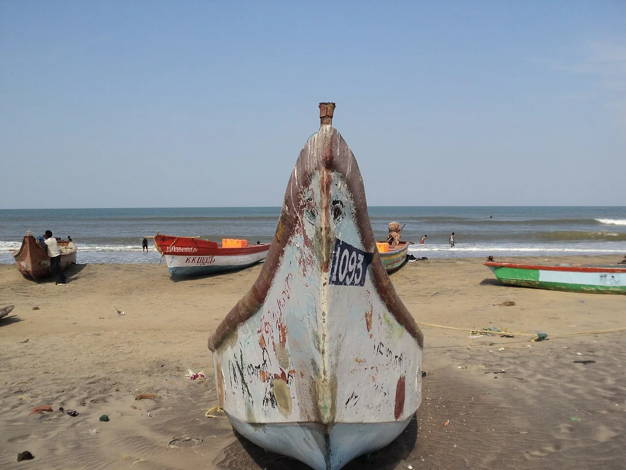
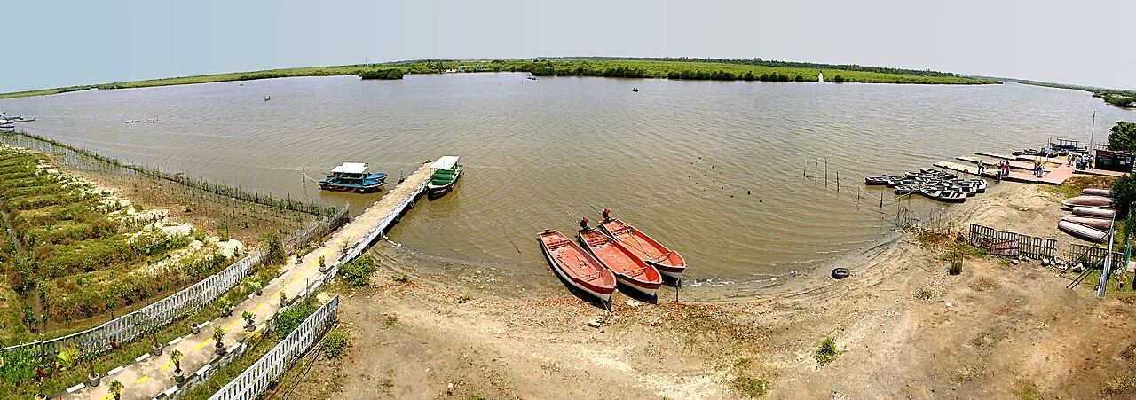
Pichavaram Mangrove Forest

7 km away · Cuddalore district

Pichavaram Mangrove Forest

Pichavaram Mangrove Forest is a mangrove wetland in Cuddalore district, Tamil Nadu. Visitors come to see the forest and its setting among the Vellar and Coleroon estuaries.

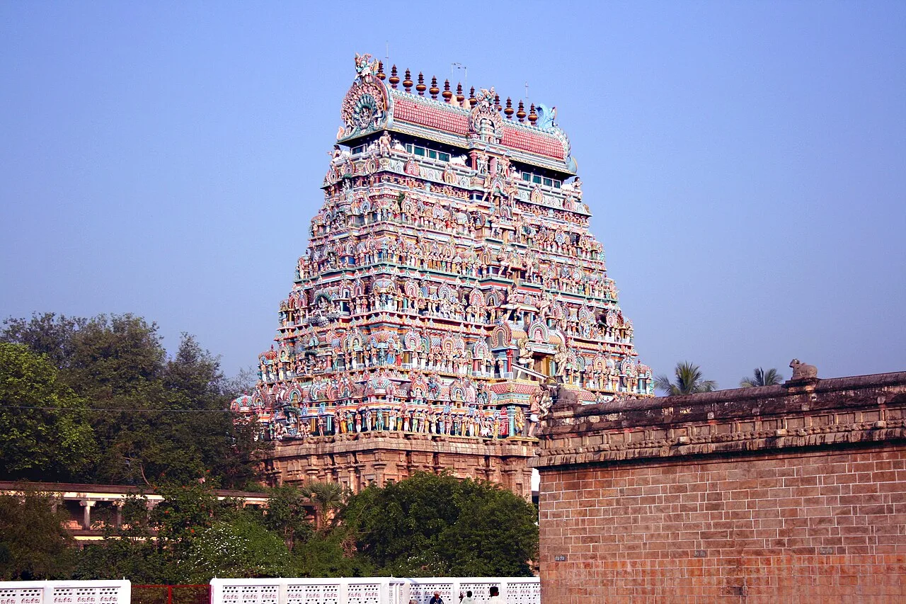
Chidambaram Nataraja Temple

13 km away · Cuddalore district

Chidambaram Nataraja Temple

Chidambaram Nataraja Temple is a historic Shaivite shrine in Tamil Nadu, dedicated to Shiva as the cosmic dancer. Visitors come for its worship, dance imagery and distinctive architectural traditions.

Vaitheeswaran Koil

33 km away · Mayiladuthurai district

Vaitheeswaran Koil

Vaitheeswaran Koil is a Shiva temple in Tamil Nadu, known for its healing associations and link with Mars. People also visit the shrine’s sacred tank and the locality associated with Naadi astrology.

Poompuhar (Kaveripoompattinam)

40 km away · Mayiladuthurai district

Poompuhar (Kaveripoompattinam)

Poompuhar, also called Kaveripoompattinam, is a coastal town in Tamil Nadu’s Mayiladuthurai district. Visitors come to explore its importance as an ancient port and the archaeological evidence of its submerged past.

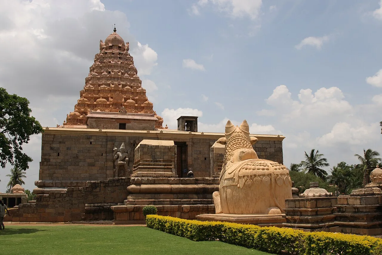
Gangaikonda Cholapuram Temple

46 km away · Ariyalur district

Gangaikonda Cholapuram Temple

Set in Ariyalur district, Gangaikonda Cholapuram is a former Chola capital known for its Brihadisvara Temple, whose scale, architecture and sculpture distinguish it and whose site has UNESCO World Heritage status.

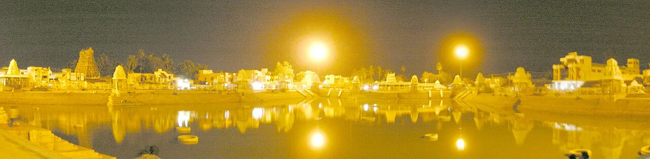
Mahamaham Tank, Kumbakonam

72 km away · Thanjavur district

Mahamaham Tank, Kumbakonam

Mahamaham Tank is a large temple reservoir in Kumbakonam, Tamil Nadu, visited for the Masimaham celebration and the Mahamaham festival, which occurs every twelve years.

Nachiyarkoil

72 km away · Thanjavur district

Nachiyarkoil

Nachiyarkoil is a village in Tamil Nadu’s Thanjavur district, within Kumbakonam taluk. Visitors may come to see its locally produced brass lamps, the settlement’s distinctive craft.

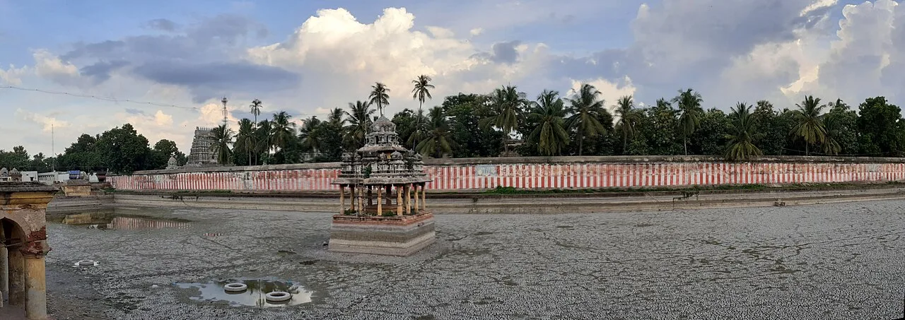
Adi Kumbeswarar Temple

73 km away · Thanjavur district

Adi Kumbeswarar Temple

Visitors come to worship Shiva and Parvati and view a complex recognised for its Tevaram association, its four gopurams and a sculpted Vijayanagara-period hall.

Map

Parangipettai on the map

  1. 1Pichavaram Mangrove Forest
  2. 2Chidambaram Nataraja Temple
  3. 3Vaitheeswaran Koil
  4. 4Poompuhar (Kaveripoompattinam)
  5. 5Gangaikonda Cholapuram Temple
  6. 6Mahamaham Tank, Kumbakonam
  7. 7Nachiyarkoil
  8. 8Adi Kumbeswarar Temple

Tamil Nadu

Other cities to explore