Ghumoopedia — Explore, Discover, Experience
Sign in
Samaspur Bird Sanctuary, near Gauriganj

City guide · Uttar Pradesh

Gauriganj

Gauriganj is the administrative centre of Amethi district in Uttar Pradesh and an important service town for the surrounding countryside. District and tehsil offices, shops, schools and transport links make it a practical hub for residents and visitors travelling through this part of the Awadh region.

Famous for

  • Amethi district headquarters
  • Historic grain market
  • Gauriganj railway station
  • Katra-Lalganj bazaar

Why Gauriganj matters

Gauriganj is the administrative centre of Amethi district in Uttar Pradesh and an important service town for the surrounding countryside. District and tehsil offices, shops, schools and transport links make it a practical hub for residents and visitors travelling through this part of the Awadh region. It lies about 126 km from Lucknow and is connected by State Highway 34 and National Highway 128.

The town is best understood as a working regional centre rather than a major sightseeing destination. Visitors come for local business, administrative work and journeys into the wider Amethi area. Its railway station and bazaar are everyday focal points, while the older settlements of Katra-Lalganj and Madhopur offer a glimpse of how the town developed. Gauriganj is also associated with a grain market that grew around its early bazaar. Its name refers to Gauri, a Hindu deity, reflecting a religious association rather than a single landmark attraction.
Famous for: crafts, trade & products

Gauriganj’s strongest commercial identity is its local bazaar and agricultural trade. Grain markets and shops serve the town and nearby villages, with everyday goods and farm produce forming a larger part of its appeal than specialist tourism shopping. Katra-Lalganj is associated with the older market area; visitors can browse local shops there and around the town centre for household items, snacks and seasonal produce.

The city is not widely identified with a particular textile tradition, handicraft, GI-tagged product or large manufacturing industry. Travellers looking for a named regional craft or specialty product should not assume that Gauriganj has a dedicated artisan quarter or official showcase. Its principal institutions are practical ones: district and tehsil administration, schools, transport services and businesses supporting the surrounding rural area. For a sense of local commerce, the bazaar and grain-trading areas are the most relevant places to explore. Product availability varies with the season and market activity.

History

At the beginning of the twentieth century, Gauriganj was described as a growing town with a station on the Oudh and Rohilkhand Railway. It then comprised two settlements, Katra-Lalganj and Madhopur. The bazaar was founded by Raja Lal Madho Singh, the Raja of Amethi, and the town developed as a grain-trading centre. Early accounts also describe a police station, post office and upper primary school serving local residents and villages nearby.

Gauriganj’s modern importance comes chiefly from administration and transport. Until 2010 it was part of Sultanpur district. When a new district was formed from parts of the area, Gauriganj became its administrative headquarters; the district’s name changed over time and it is now Amethi. The town’s connections by rail and road have supported its role as a service and market centre for the surrounding countryside. Its older bazaar and settlement pattern remain reminders of its growth from a cluster of villages into a district hub.

Food, festivals & culture

Daily life reflects the wider Awadh region. Hindi is widely used, and Awadhi is heard in local conversation. Meals commonly draw on north Indian staples such as wheat breads, rice, lentils, vegetables and seasonal produce. Shops and sweet sellers offer familiar regional and North Indian snacks and sweets, but Gauriganj is not especially known for a single signature dish or confection.

Holi in spring and Diwali in autumn are prominent Hindu celebrations; Navratri and Dussehra are also observed. Muslim residents mark festivals including Eid, while Muharram is part of the area’s religious calendar. Celebrations may include family gatherings, worship and community events. Hindu temples and Muslim places of worship serve local neighbourhoods, though the town is not known as a major pilgrimage destination. Devotional singing and regional folk performance are part of seasonal and religious gatherings; there is no widely established dance or music form unique to Gauriganj.

Visiting the city

October to March is generally the most comfortable period to visit. Winters are cool, and fog can affect travel in late December and January; summers are very hot, while the monsoon brings rain from around mid-June into September. Gauriganj railway station is the town’s main rail stop. The nearest major airport is Chaudhary Charan Singh International Airport in Lucknow, about 126 km away by road.

The town is connected by State Highway 34 and National Highway 128. Auto-rickshaws and local road transport are useful for short journeys; confirm onward connections locally. Explore the central bazaar and the older Katra-Lalganj and Madhopur areas for everyday town life. The district administrative centre is another point of interest for visitors handling official business. Gauriganj works well as a practical base for journeys around Amethi, rather than as a destination with a concentrated circuit of major attractions.

Trips from the city

Nearest places to visit from Gauriganj

Our closest destination guides, by straight-line distance.

Samaspur Bird Sanctuary

38 km away · Raebareli district

Samaspur Bird Sanctuary

In Uttar Pradesh’s Raebareli district, Samaspur is a wetland reserve where visitors can see resident birds, long-distance migrants and a variety of fish.

Shringverpur

69 km away · Prayagraj district

Shringverpur

The Uttar Pradesh village of Shringverpur is also known as Shringaverpur or Singraur; its alternate names help visitors identify the settlement in references using different spellings.

Ram Mandir

82 km away · Ayodhya district

Ram Mandir

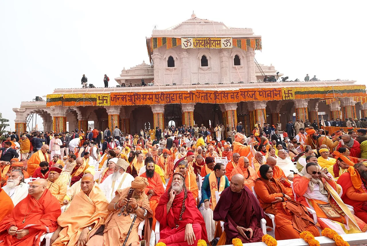
Ram Mandir is a Hindu temple complex in Ayodhya, Uttar Pradesh. Visitors come to worship at a place many Hindus regard as the birthplace of Rama.

Ayodhya Old Town

83 km away · Ayodhya district

Ayodhya Old Town

Ayodhya Old Town is the historic centre of a city in Uttar Pradesh, associated with early Buddhist and Jain traditions and the Hindu epic Ramayana. Visitors come chiefly for its religious importance and links to Rama.

Hanuman Garhi

83 km away · Ayodhya district

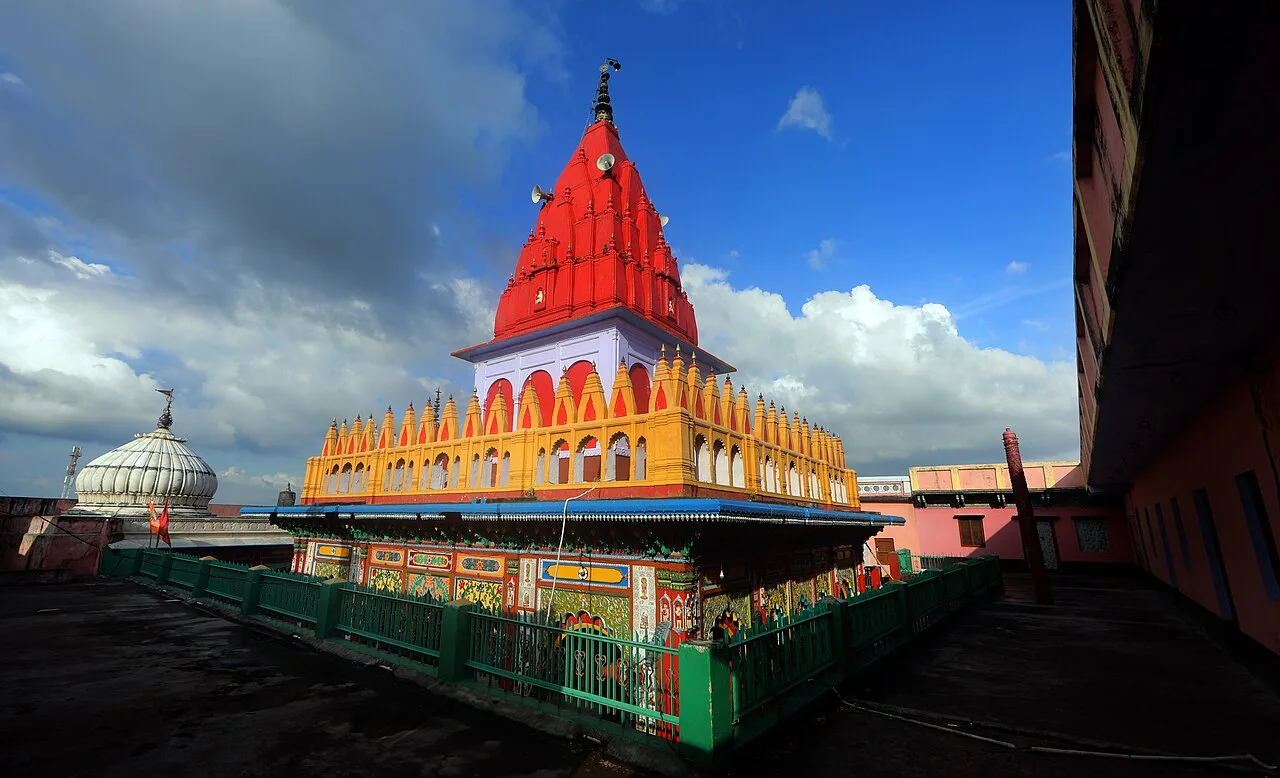
Hanuman Garhi

Hanuman Garhi is a Hindu shrine to Hanuman in Ayodhya, Uttar Pradesh. People visit to worship there, and it is counted among the city’s important temples.

Kanak Bhawan

83 km away · Ayodhya district

Kanak Bhawan

Kanak Bhawan is an Ayodhya temple linked to the stories of Rama and Sita, whose images are enshrined there. Visitors come to see the shrine and learn its traditional history.

All Saints Cathedral, Prayagraj

85 km away · Prayagraj district

All Saints Cathedral, Prayagraj

All Saints Cathedral is a Church of North India landmark in Prayagraj, valued for its Gothic Revival architecture and its history as a church designed during British rule.

Allahabad Museum

85 km away · Prayagraj district

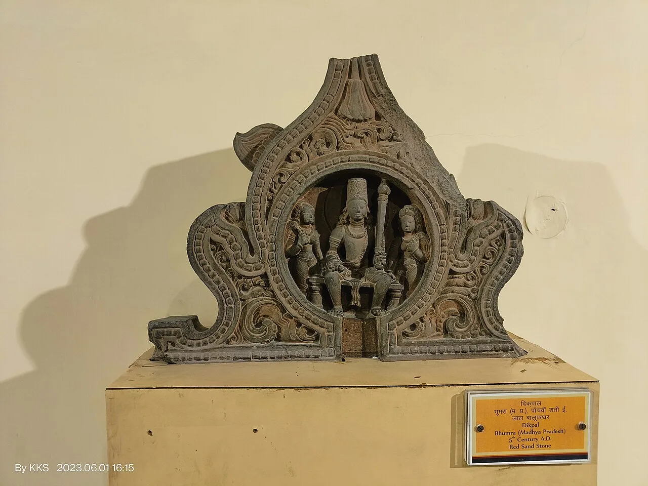
Allahabad Museum

Set in Prayagraj’s Chandrashekhar Azad Park, the Allahabad Museum is a national-level institution. Visitors come to see its art collections and prehistoric rock paintings, as well as explore its research work.

Map

Gauriganj on the map

  1. 1Samaspur Bird Sanctuary
  2. 2Shringverpur
  3. 3Ram Mandir
  4. 4Ayodhya Old Town
  5. 5Hanuman Garhi
  6. 6Kanak Bhawan
  7. 7All Saints Cathedral, Prayagraj
  8. 8Allahabad Museum

Uttar Pradesh

Other cities to explore