Ghumoopedia — Explore, Discover, Experience
Sign in
Etawah Safari Park, near Karhal

City guide · Uttar Pradesh

Karhal

Karhal is a town and Nagar Panchayat in Mainpuri district, in western Uttar Pradesh. It serves as a local administrative centre: Karhal is also a tehsil, with Karhal and Barnahal blocks, and the town is part of a Uttar Pradesh Legislative Assembly constituency.

Famous for

  • Historic ghee and cotton trade
  • Traditional glass making
  • Historic saltpetre production
  • Karhal (mainphal) trees
  • State Highway 83

Why Karhal matters

Karhal is a town and Nagar Panchayat in Mainpuri district, in western Uttar Pradesh. It serves as a local administrative centre: Karhal is also a tehsil, with Karhal and Barnahal blocks, and the town is part of a Uttar Pradesh Legislative Assembly constituency. Its position on State Highway 83 links it with nearby settlements, including Saifai, the closest town.

Karhal is not widely known as a major sightseeing destination, but it offers a sense of the market-town life and rural connections of the Mainpuri region. Its older identity is tied to trade, local markets and small-scale production; historical accounts describe commerce in ghee and cotton, along with glass and saltpetre making. The town’s name is also associated with the karhal or mainphal tree, Randia dumetorum, which grows in the district. Visitors are most likely to come for local business, administrative services or as part of a wider trip through the area. The bazaar and surrounding countryside provide a quieter, everyday counterpoint to larger regional centres.
Famous for: crafts, trade & products

Karhal’s best-documented commercial identity is historical rather than a large modern specialty industry. In the past, its market traded in ghee and cotton, with regular market days, and glass and saltpetre were also made locally. These records point to a town serving nearby villages as a centre for exchange and everyday goods. They should not be taken as evidence that these products are still manufactured at scale today.

There is no widely documented signature textile, handicraft or GI-tagged product associated with Karhal. For present-day shopping, the town’s bazaar is the practical place to look for daily necessities and locally sold foodstuffs; ask shopkeepers about seasonal or village-made goods rather than expecting dedicated craft outlets. Karhal is also associated by name with the karhal, or mainphal, tree (Randia dumetorum), found in the wider Mainpuri district. This botanical link is part of the town’s local identity, not a known commercial product. The town’s administrative role as a tehsil centre is another important part of its contemporary regional profile.

History

Karhal was once a tappa, or subdivision, within the Mughal-era pargana of Haveli Etawah. By the beginning of the twentieth century, it had become the seat of both a pargana and a tehsil, reflecting its growing importance as a local administrative and market centre. Its twice-weekly markets served surrounding communities, and trade in ghee and cotton was noted alongside local glass and saltpetre manufacture.

Historical descriptions also record a Sanskrit school run by Jains, two other schools, a dispensary and a police station. A sarai, or travellers’ inn, stood within a gated compound that included a mosque and a well. Merchant homes clustered behind the bazaar, while tall temple spires were prominent in the townscape. These accounts suggest a community shaped by commerce and several religious traditions. In modern Uttar Pradesh, Karhal continues as a Nagar Panchayat and tehsil centre, with its administrative role and road connection on State Highway 83 anchoring its place in Mainpuri district.

Food, festivals & culture

Everyday food in Karhal reflects the broader home-style cooking of Uttar Pradesh: wheat breads, lentils, seasonal vegetables and familiar snacks are more reliable expectations than a nationally recognised local dish. Sweets and savoury treats can generally be sought in the bazaar, though no particular sweet is widely established as a signature of the town. The area’s past trade in ghee is part of its food and market history, not a guarantee of a distinct present-day food tradition.

Hindi is the main language of daily communication; Urdu is also used by some residents, and local speech reflects the dialects of the surrounding region. Hindu festivals such as Holi in spring, Navratri and Dussehra in autumn, and Diwali in autumn are observed, alongside Eid celebrations in the Muslim community. As in many north Indian towns, music and dance are often connected with family occasions and seasonal or religious festivities rather than formal performances for visitors. Temples and mosques serve local worshippers; historical accounts also point to a Jain educational presence, though visitors should not assume a particular historic site is open or preserved.

Visiting the city

The cooler, drier months from roughly October to March are generally the most comfortable for exploring Karhal; summer afternoons can be very hot, while monsoon weather may affect road journeys. Agra Airport (Kheria) is a possible air gateway, but check current flight connections and onward road travel before setting out. Mainpuri railway station is a practical rail point for the area; confirm the best onward connection to Karhal for your journey.

State Highway 83 is the main road reference for reaching town. Local travel is typically by road, using shared or private vehicles, with availability depending on the day and destination. The bazaar is the most useful area to explore for shops and a feel for daily town life. Visitors interested in the wider region can also consider nearby Saifai. Karhal is compact, so allow time for road connections rather than planning around a large cluster of visitor attractions.

Trips from the city

Nearest places to visit from Karhal

Our closest destination guides, by straight-line distance.

Etawah Safari Park

27 km away · Etawah district

Etawah Safari Park

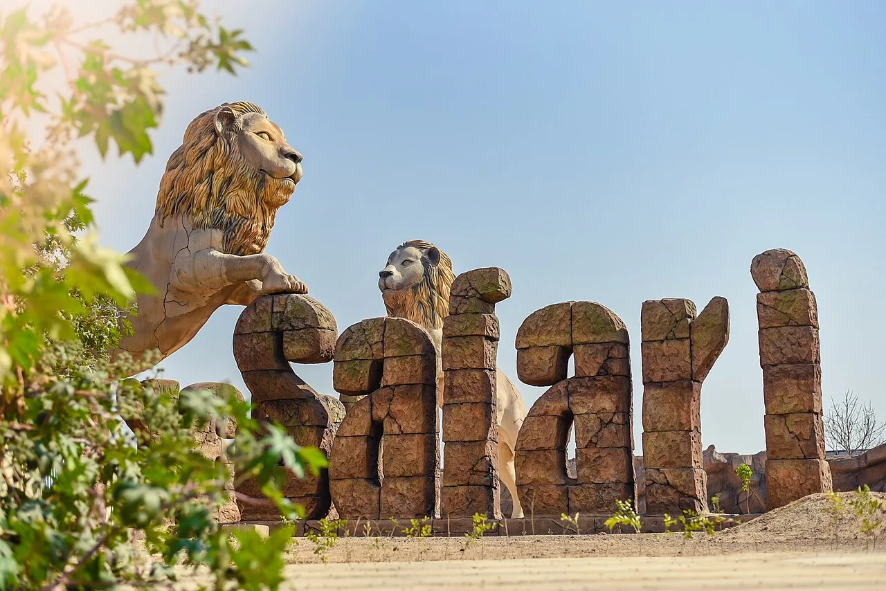
A wildlife attraction in Etawah district, Uttar Pradesh, the park draws visitors for its vehicle-based safari experiences, Asiatic lion breeding centre and visitor centre.

Bateshwar Temples, Agra

40 km away · Agra district

Bateshwar Temples, Agra

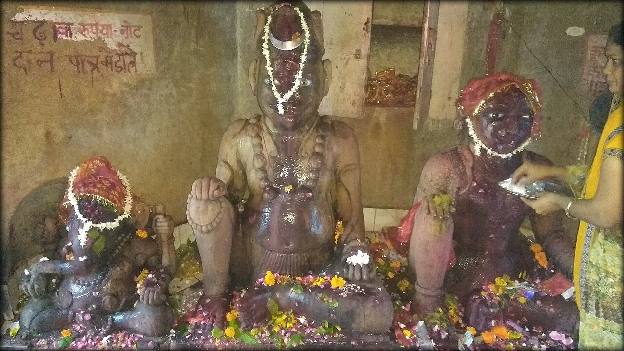
Bateshwar is a village in Uttar Pradesh’s Agra district, known as a spiritual centre for Hindus and Jains, with 101 Shiva temples and an annual fair.

Mehtab Bagh

91 km away · Agra district

Mehtab Bagh

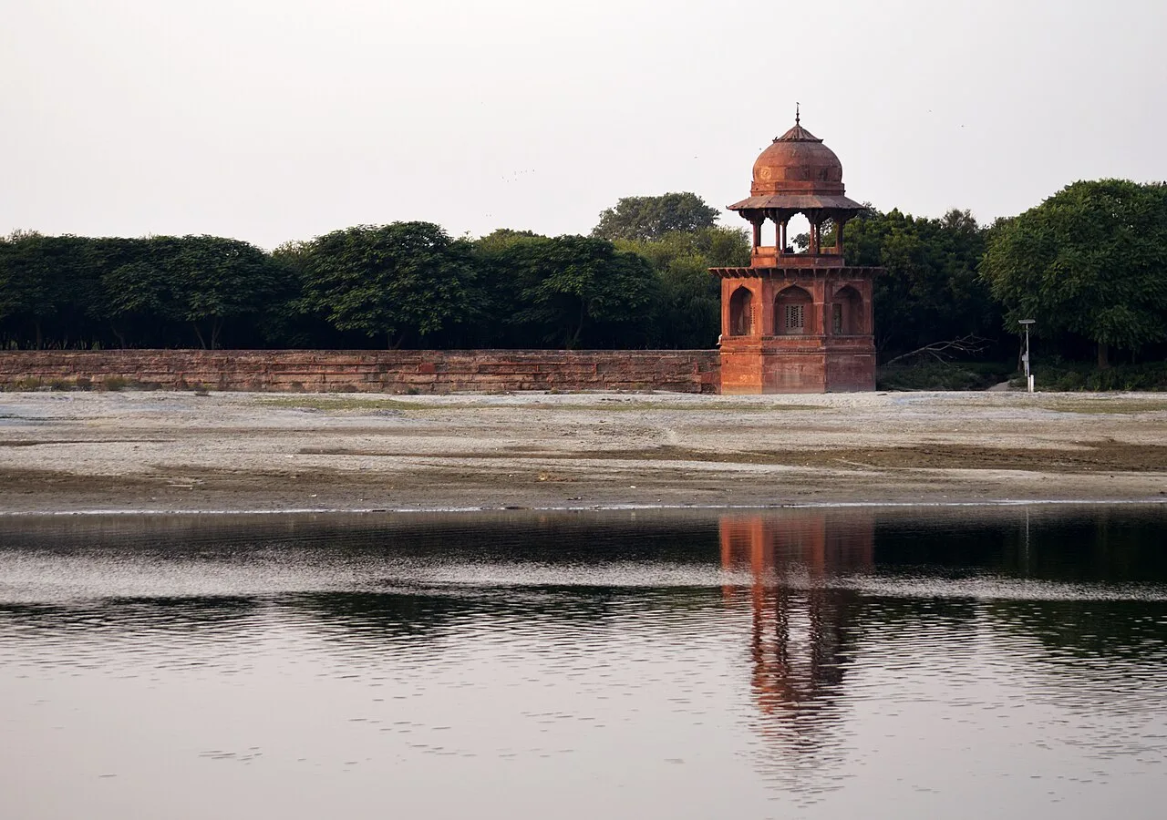
Mehtab Bagh is a square charbagh garden in Agra, Uttar Pradesh, across the Yamuna from the Taj Mahal. Visitors come to see its carefully aligned setting opposite the monument.

Taj Mahal

91 km away · Agra district

Taj Mahal

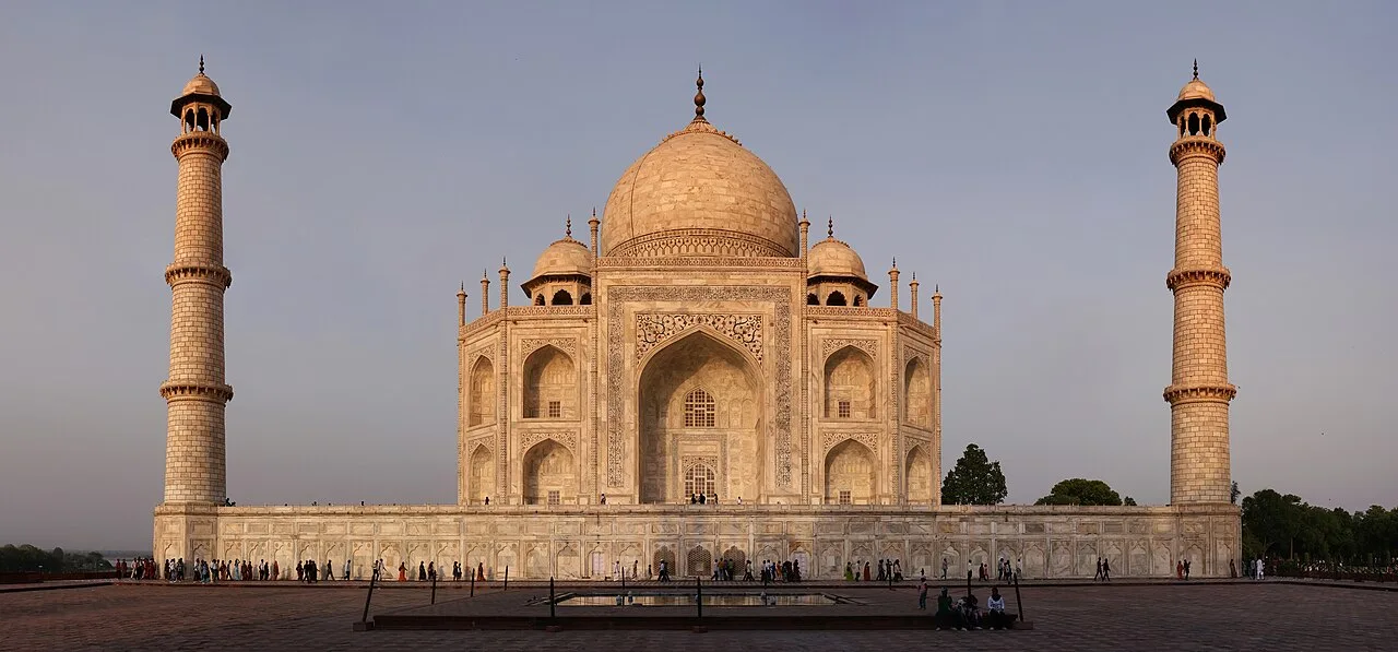
The Taj Mahal is a marble tomb complex in Agra, built for Mumtaz Mahal and Shah Jahan. Visitors come to see its Mughal architecture, gardens and memorials.

Chini Ka Rauza

92 km away · Agra district

Chini Ka Rauza

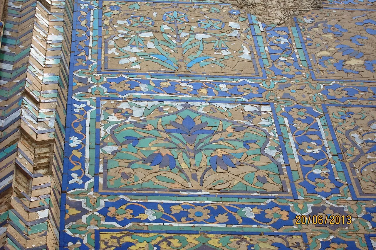
Chini Ka Rauza is a funerary monument in Agra, built in 1635 for Afzal Khan Shirazi, a scholar, poet and Shah Jahan’s grand vizier. Visitors come to see its glazed tiles and learn about its history.

Itmad Ud Daulah

92 km away · Agra district

Itmad Ud Daulah

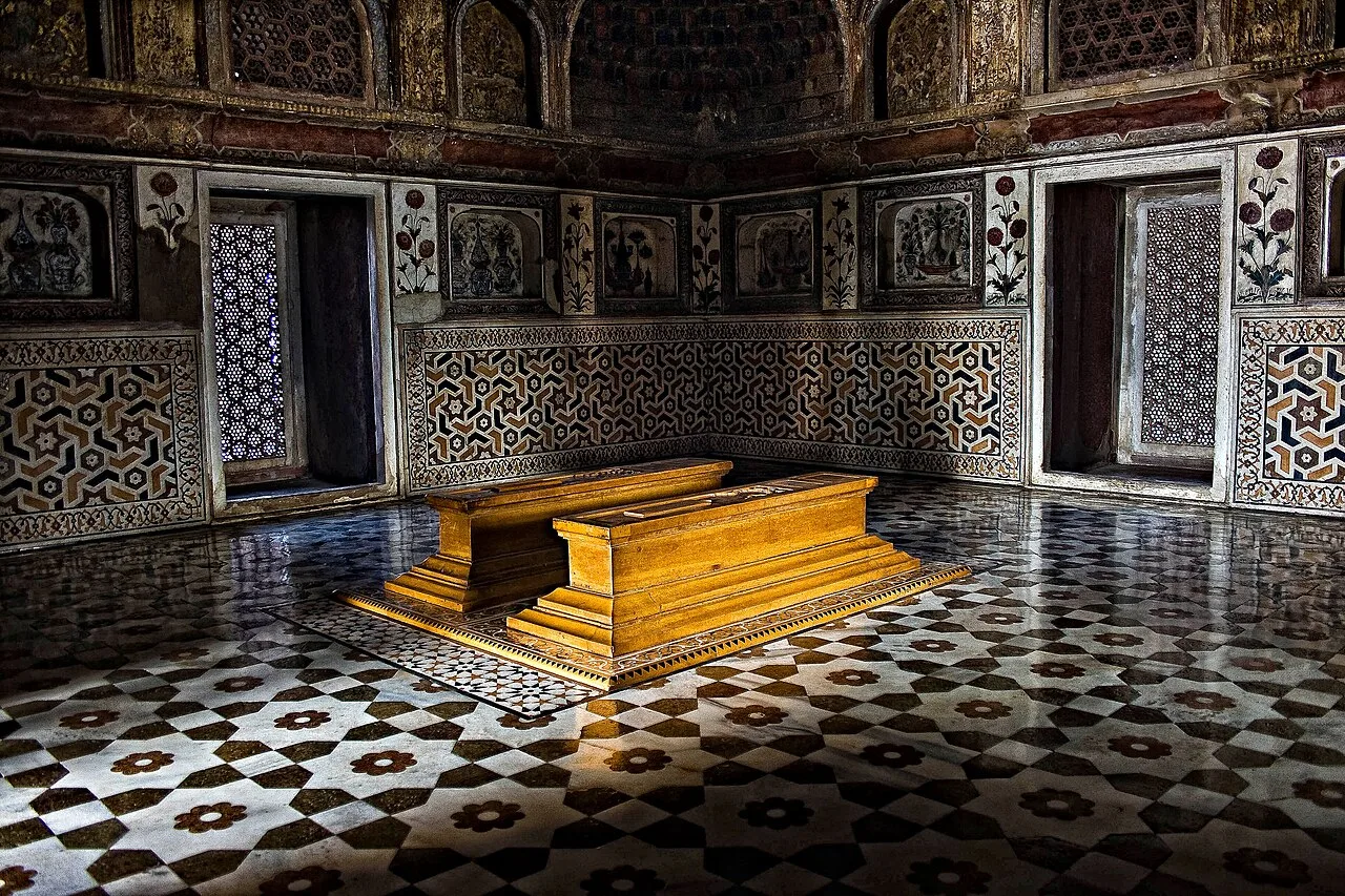
A Mughal marble mausoleum in Agra, Itmad Ud Daulah attracts visitors for its garden setting, intricate decoration and place in the evolution of Mughal architecture.

Agra Fort

93 km away · Agra district

Agra Fort

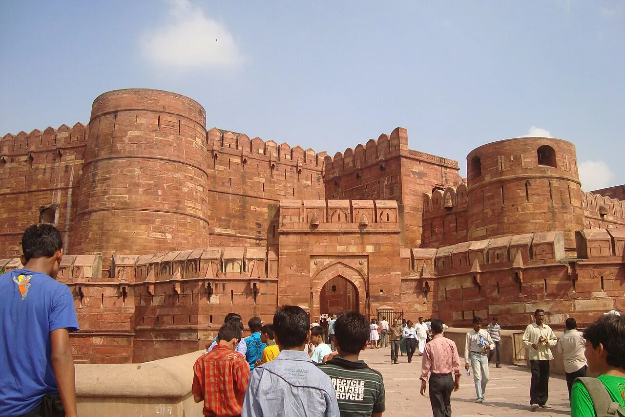
Agra Fort is a major Mughal-era stronghold in Agra, rebuilt by Akbar and later expanded by Shah Jahan. Visitors come to see its palaces, mosques and historic gateways.

Jama Masjid, Agra

94 km away · Agra district

Jama Masjid, Agra

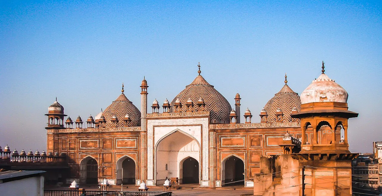
Jama Masjid is a seventeenth-century mosque in Agra, built by Jahanara Begum during Shah Jahan’s reign. Visitors come to see the city’s principal mosque, situated near Agra Fort.

Map

Karhal on the map

  1. 1Etawah Safari Park
  2. 2Bateshwar Temples, Agra
  3. 3Mehtab Bagh
  4. 4Taj Mahal
  5. 5Chini Ka Rauza
  6. 6Itmad Ud Daulah
  7. 7Agra Fort
  8. 8Jama Masjid, Agra

Uttar Pradesh

Other cities to explore