Ghumoopedia — Explore, Discover, Experience
Sign in
Ellora Caves, near Kannad

City guide · Maharashtra

Kannad

Kannad is a municipal council town and taluka headquarters in Chhatrapati Sambhajinagar district, in the northwestern part of Maharashtra’s Marathwada region. Its importance is chiefly regional: government offices, shops, schools and everyday services make it a service centre for nearby villages and farms.

Famous for

  • Taluka administrative centre
  • Gautala-Autramghat surroundings
  • Agricultural hinterland
  • Northwestern Deccan setting

Why Kannad matters

Kannad is a municipal council town and taluka headquarters in Chhatrapati Sambhajinagar district, in the northwestern part of Maharashtra’s Marathwada region. Its importance is chiefly regional: government offices, shops, schools and everyday services make it a service centre for nearby villages and farms. The surrounding countryside gives the town a more rural character than the larger cities of the district, while road links connect it with Chhatrapati Sambhajinagar and other towns in northern Maharashtra.

Visitors may use Kannad as a base for exploring the landscape around Gautala-Autramghat Wildlife Sanctuary, which lies in the wider area, or as a stop while travelling through the Deccan. Kannad is not especially known for a nationally recognised craft, food or textile, and it is best approached as a working small town rather than a major heritage destination. Its appeal is in local markets, regional life and access to the countryside. Those seeking better-known monuments and urban attractions can continue to Chhatrapati Sambhajinagar, while nature-focused travellers can plan excursions into the sanctuary area.
Famous for: crafts, trade & products

Kannad is best known locally as a taluka service and trading centre, rather than as a specialised textile or handicraft town. Its shops and market areas serve residents from the town and surrounding agricultural settlements, supplying groceries, household goods, clothing and farm-related necessities. Produce and other goods are traded through ordinary local channels; the town does not have a widely established signature product or a recognised GI-tagged speciality to seek out.

Visitors looking for local purchases can browse the central market streets for everyday merchandise and seasonal produce, keeping in mind that selection varies with the day and season. There is no well-documented dedicated craft bazaar or cluster of workshops to recommend as a standard stop. Likewise, Kannad is not especially associated with a particular saree tradition, sweet or industrial product. For a broader range of branded goods, specialist crafts and regional products, travellers can look to larger nearby centres such as Chhatrapati Sambhajinagar. The town’s main commercial value is practical: it brings routine trade and services within reach of the surrounding countryside.

History

Kannad’s documented profile is primarily that of a taluka town in the historic Deccan, rather than a centre with a widely publicised royal court or monumental old city. Its wider region has been shaped over centuries by changing Deccan powers, including sultanate and Maratha influence. During the colonial period, this part of the Deccan was within the princely state of Hyderabad under the Nizam, rather than directly administered as part of British India.

After Hyderabad State joined the Indian Union in 1948, the area passed through post-independence administrative changes. It became part of Maharashtra when the state was formed in 1960. In modern times Kannad has developed as a municipal council and taluka headquarters, serving nearby settlements with administrative, educational and commercial facilities. Its growth has been that of a regional town: shaped by local government, road connections and the needs of an agricultural hinterland. The town is now within Chhatrapati Sambhajinagar district, formerly known as Aurangabad district.

Food, festivals & culture

Everyday culture in Kannad reflects the Marathi-speaking Deccan and its links with nearby parts of Maharashtra. Marathi is the principal language of local life; Hindi and Urdu are also heard. Meals commonly draw on regional staples such as jowar or bajra bhakri, vegetables, lentils and spicy curries. These are familiar regional foods rather than a distinctive Kannad cuisine. Sweets and snacks are available from local shops, but the town is not widely associated with a signature sweet.

Ganesh Chaturthi brings household and community observances during the monsoon season. Navratri and Dussehra are celebrated in autumn, followed by Diwali, while Eid observances follow the Islamic lunar calendar and therefore shift across the seasons. Local worship takes place at neighbourhood temples, mosques and other places of prayer; visitors should dress respectfully and be mindful during services. Music and dance are most visible during festivals and family celebrations, with Marathi devotional and popular music part of the wider cultural setting. For major performances or larger cultural programmes, the district’s bigger urban centres offer more venues.

Visiting the city

The cooler months, roughly from November to February, are generally the most comfortable for visiting. The monsoon brings greener scenery but can make countryside excursions less convenient; summer is hot. The nearest practical airport is Chhatrapati Sambhajinagar Airport. For rail travel, Chalisgaon Junction is a useful nearby station, while Chhatrapati Sambhajinagar railway station is another regional option. From either, continue by road to Kannad.

Within town, auto-rickshaws and local vehicles are useful for short trips; arrange onward transport for rural stops and the Gautala-Autramghat area. Explore the central market and civic core for everyday town life. Kannad is compact, so a short visit can focus on its shops and local streets, with longer excursions planned around the surrounding countryside. Confirm road conditions locally before heading into the sanctuary area.

Trips from the city

Nearest places to visit from Kannad

Our closest destination guides, by straight-line distance.

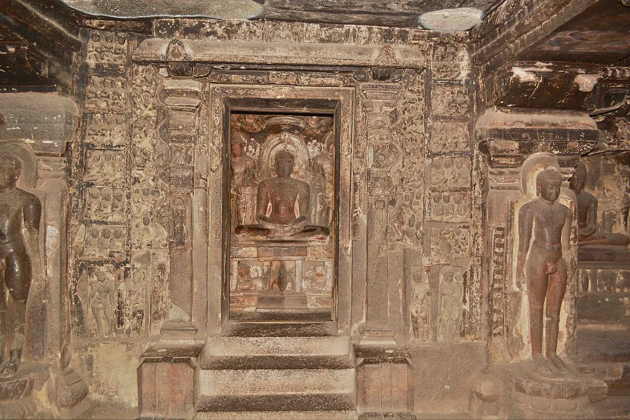
Ellora Caves

26 km away · Chhatrapati Sambhajinagar district

Ellora Caves

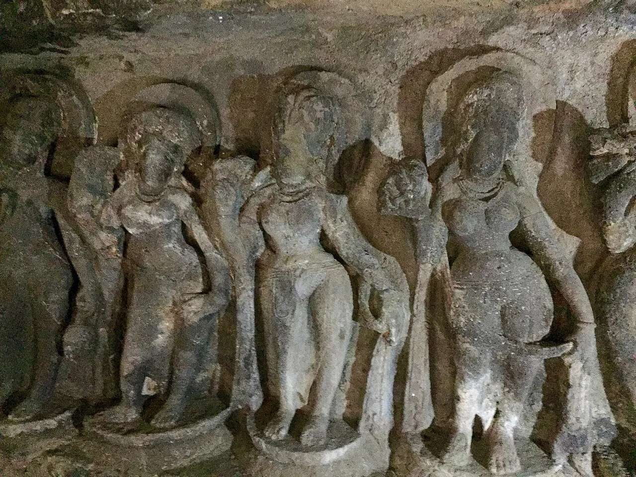
Ellora, in Maharashtra’s Chhatrapati Sambhajinagar district, is a UNESCO World Heritage Site. Visitors explore its Hindu, Buddhist and Jain monuments, including the remarkable Kailash temple carved from rock.

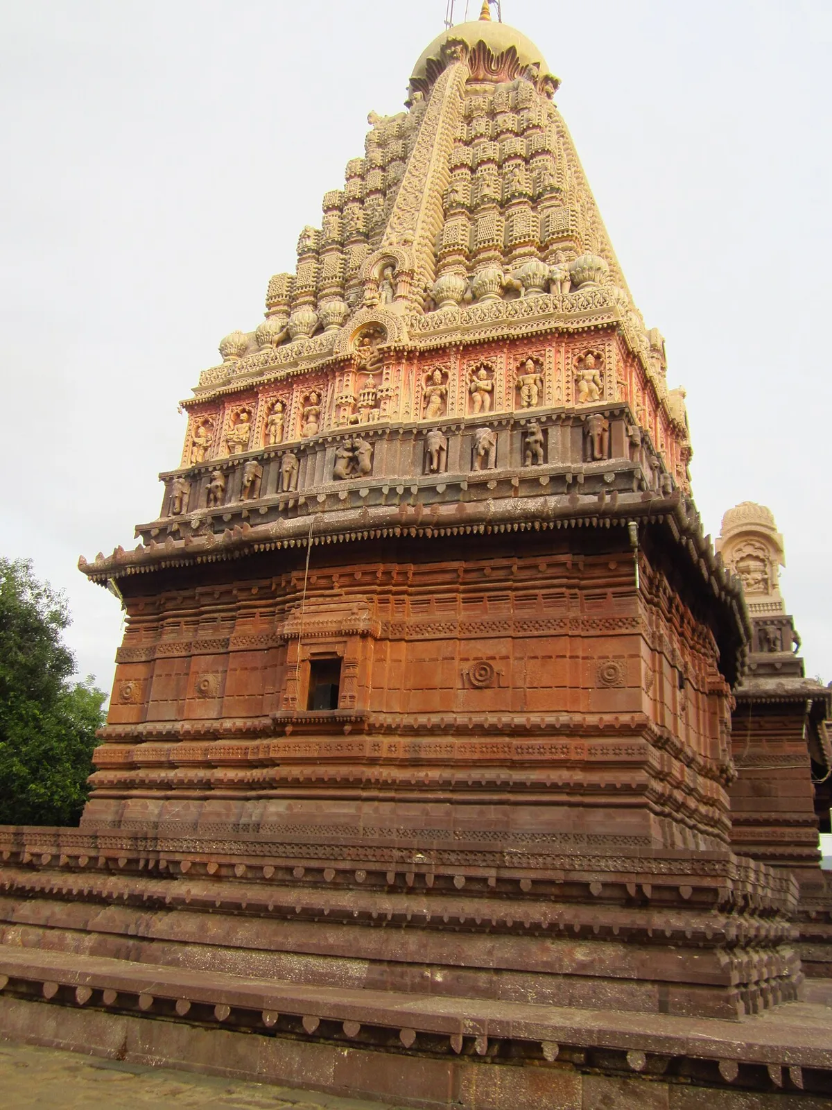
Ghrishneshwar Temple

26 km away · Chhatrapati Sambhajinagar district

Ghrishneshwar Temple

Ghrishneshwar Temple is a Shiva shrine in Verul, Maharashtra, and one of the twelve Jyotirlingas. Visitors come to worship Shiva at this nationally protected temple.

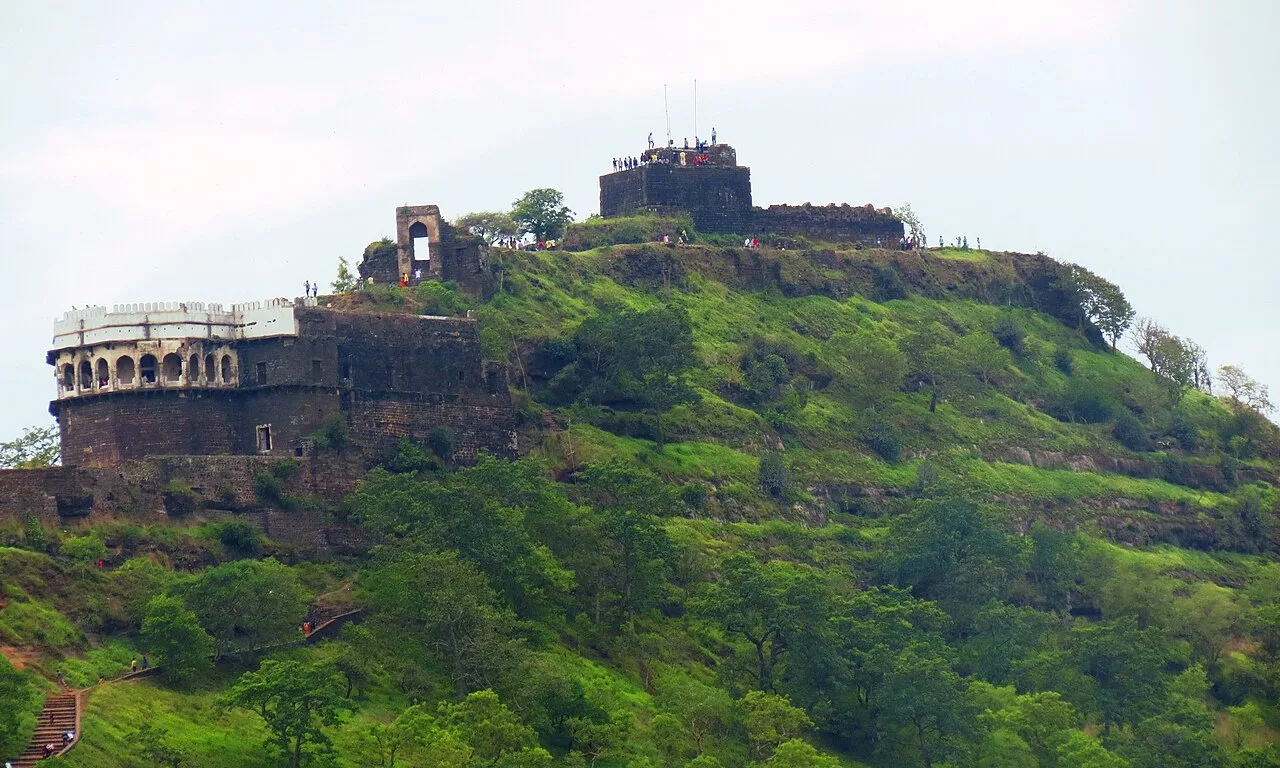
Daulatabad Fort

36 km away · Chhatrapati Sambhajinagar district

Daulatabad Fort

Daulatabad Fort is a historic stronghold in Maharashtra, first known as Devagiri. Visitors explore its history as a Yadava seat, briefly a Delhi Sultanate capital, and later an Ahmadnagar centre.

Aurangabad Caves

42 km away · Chhatrapati Sambhajinagar district

Aurangabad Caves

Near Aurangabad in Maharashtra, this hill complex contains twelve Buddhist sanctuaries excavated in basalt. Visitors explore its cave architecture and carvings, which represent several Buddhist traditions and include a range of deities.

Bibi Ka Maqbara

44 km away · Chhatrapati Sambhajinagar district

Bibi Ka Maqbara

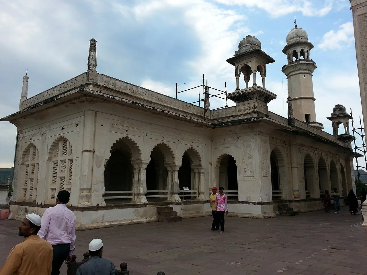
Bibi Ka Maqbara is a Mughal mausoleum in Aurangabad, Maharashtra, built for Dilras Banu Begum. Visitors come to see its resemblance to the Taj Mahal and its place in the region’s history.

Ajanta Caves

67 km away · Chhatrapati Sambhajinagar district

Ajanta Caves

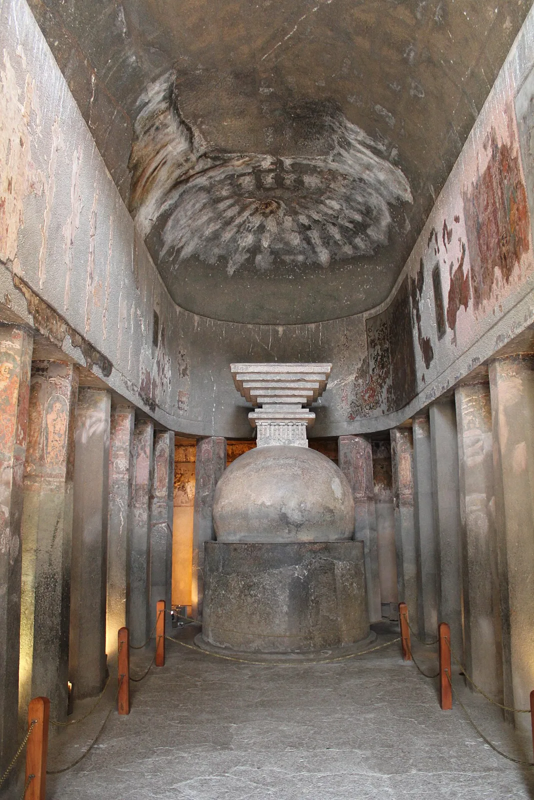
Ajanta is a group of 30 Buddhist caves in Maharashtra, known for its ancient paintings, sculptures and religious architecture. Visitors come to explore the site’s artistic and monastic heritage.

Shirdi Sai Baba Temple

87 km away · Ahilyanagar district

Shirdi Sai Baba Temple

The Shirdi Sai Baba Temple is a pilgrimage destination in Maharashtra, visited because of its association with Sai Baba, the nineteenth-century Indian saint closely connected with the town.

Shani Shingnapur

101 km away · Ahilyanagar district

Shani Shingnapur

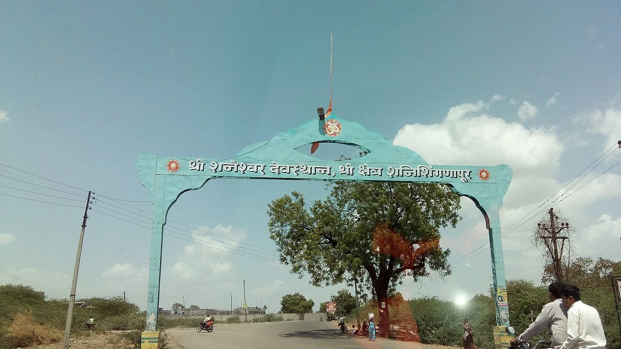
In Maharashtra, Shani Shingnapur is a village visited for its temple to Shani, the Hindu deity linked to the graha Saturn.

Map

Kannad on the map

  1. 1Ellora Caves
  2. 2Ghrishneshwar Temple
  3. 3Daulatabad Fort
  4. 4Aurangabad Caves
  5. 5Bibi Ka Maqbara
  6. 6Ajanta Caves
  7. 7Shirdi Sai Baba Temple
  8. 8Shani Shingnapur

Maharashtra

Other cities to explore