Ghumoopedia — Explore, Discover, Experience
Sign in

City guide · Maharashtra

Khetia

Khetia is a small town in Barwani district, Madhya Pradesh, close to the Maharashtra border. It is sometimes associated with Maharashtra because of this location, but it lies on the Madhya Pradesh side.

Famous for

  • Madhya Pradesh–Maharashtra border
  • Barwani district market town
  • Road links toward Gujarat

Why Khetia matters

Khetia is a small town in Barwani district, Madhya Pradesh, close to the Maharashtra border. It is sometimes associated with Maharashtra because of this location, but it lies on the Madhya Pradesh side. Its importance today is mainly practical: it serves local residents and nearby settlements, while its position makes it a point of connection between western Madhya Pradesh, northern Maharashtra and routes toward Gujarat.

Visitors are more likely to come for local business, family visits or as part of a journey through the border region than for a major monument or resort. Khetia offers a glimpse of everyday life in a smaller town, with neighbourhood shops and services supporting the surrounding countryside. It is not widely identified with a nationally known craft, landmark or signature food. Its strongest distinction is its cross-state setting, where travel and commerce connect communities on either side of the boundary. Travellers planning a wider visit can use Khetia as a modest stop while exploring Barwani district and nearby parts of Maharashtra.
Famous for: crafts, trade & products

Khetia is best understood as a local service and trading town rather than a centre for a famous textile, handicraft or large-scale industry. Its border position brings together everyday commerce serving residents and people from nearby settlements. The town’s shops and market areas are the most practical places to look for groceries, household goods and locally used products; availability varies, and visitors should not expect a dedicated tourist craft bazaar.

No widely established Khetia-specific GI-tagged product, signature saree, or distinctive handicraft is associated with the town. Nor is it known as a major manufacturing destination. For regional produce and goods, ask local shopkeepers about what is grown or made in surrounding villages, since offerings can change with the season. Larger or more specialized shopping requirements may be easier to meet in a bigger nearby town.

History

Khetia’s history is best approached through its place in the western Madhya Pradesh border region. The town is in present-day Barwani district, an area shaped by connections with neighbouring Maharashtra and the wider Nimar and Khandesh region. Barwani was historically a princely state under the British-era system of Central India, though Khetia’s own local chronology is not well established enough to assign particular rulers or events to the town with confidence.

After independence and the reorganisation of states, Khetia became part of Madhya Pradesh while remaining closely linked by proximity and road travel to Maharashtra. Its modern role has developed around local administration, services and commerce rather than a documented transformation into an industrial or major rail centre. The town’s border location continues to influence daily movement, trade and family connections. For visitors, this layered regional setting is more evident in Khetia’s connections with surrounding settlements than in a large collection of preserved historic buildings.

Food, festivals & culture

Daily life in Khetia reflects its position between western Madhya Pradesh and northern Maharashtra. Hindi is widely useful, while Marathi and regional speech are also heard; language use varies between neighbourhoods and families. The broader district includes diverse communities, so customs and food traditions may differ from one settlement to another. There is no single dish or sweet that is firmly established as Khetia’s signature.

Home-style meals in the region commonly draw on grains, pulses, vegetables and seasonal produce. Diwali, usually in autumn, Holi in spring and Navratri are among the major Hindu festivals observed in the area; Muslim residents mark Eid according to the Islamic calendar. Celebrations are generally centred on family, neighbourhood gatherings and local places of worship. Temples and mosques serve community life, but Khetia is not widely known for a specific pilgrimage shrine or major performance tradition. Visitors can learn more about local practice by asking respectfully before attending worship or community events.

Visiting the city

The cooler months, roughly from October to February, are generally more comfortable for visiting; summer can be very hot, and monsoon travel may be affected by rain. Khetia does not have a major airport or railway station of its own. Indore’s Devi Ahilya Bai Holkar Airport is a practical air gateway, while Nandurbar Railway Station in Maharashtra is a useful nearby railhead; onward road travel is needed, and travellers should confirm current connections before setting out.

Buses and private vehicles are the main ways to reach Khetia and travel between nearby settlements. Within town, local auto-rickshaws or short walks may suit routine trips, depending on availability. Explore the central market and surrounding neighbourhood streets for a sense of everyday town life. Khetia works best as a brief stop or a base for local visits, rather than as a destination with a defined tourist district.

Trips from the city

Nearest places to visit from Khetia

Our closest destination guides, by straight-line distance.

Saptashrungi

159 km away · Nashik district

Saptashrungi

Saptashrungi is a Hindu pilgrimage destination in Maharashtra, where the goddess is believed to dwell among seven peaks. Devotees visit its temple, which holds an important place in Shakti Peetha traditions.

Ajanta Caves

170 km away · Chhatrapati Sambhajinagar district

Ajanta Caves

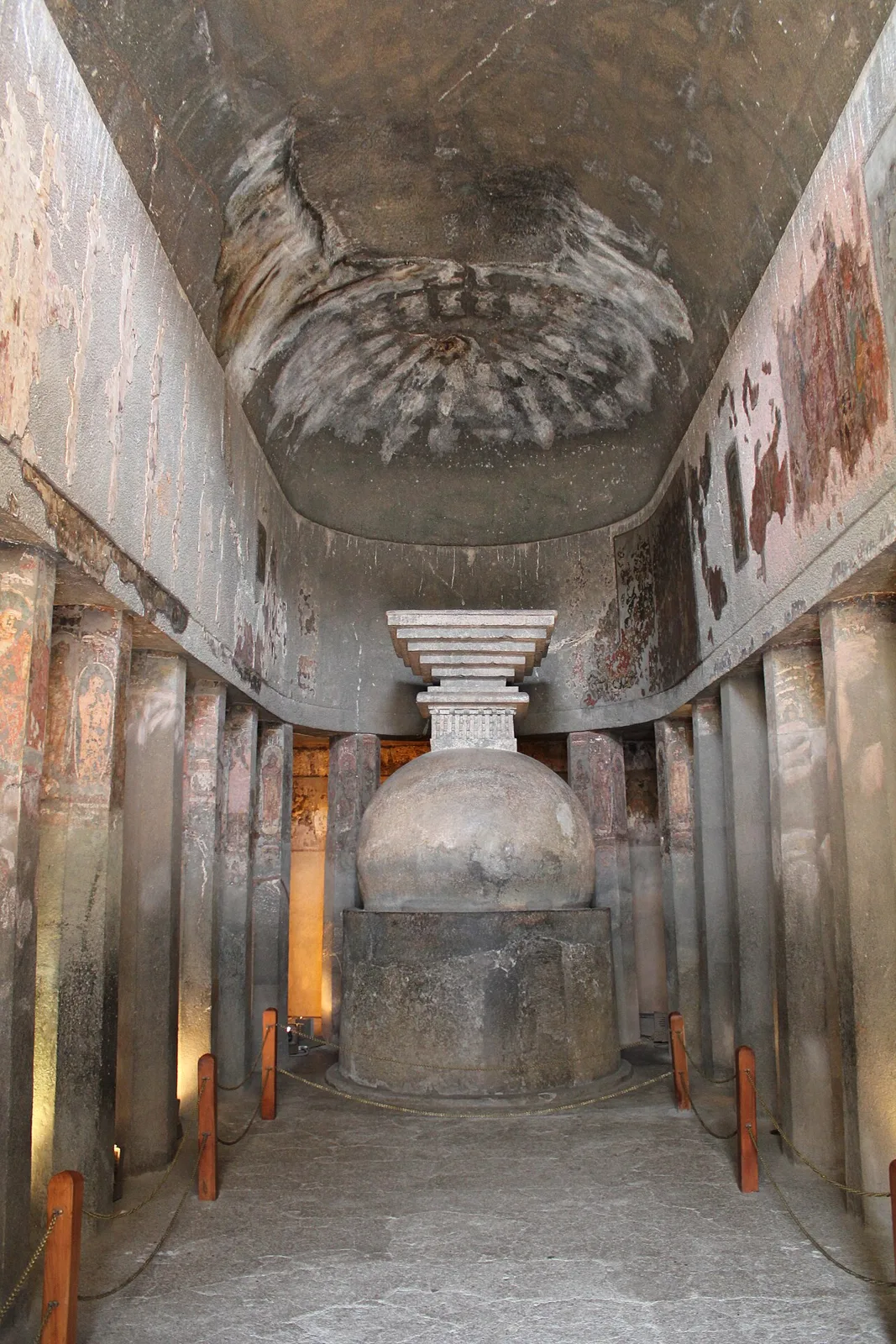
Ajanta is a group of 30 Buddhist caves in Maharashtra, known for its ancient paintings, sculptures and religious architecture. Visitors come to explore the site’s artistic and monastic heritage.

Ellora Caves

193 km away · Chhatrapati Sambhajinagar district

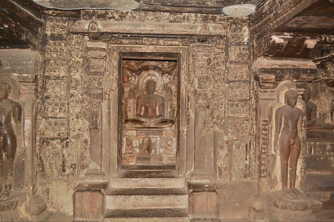
Ellora Caves

Ellora, in Maharashtra’s Chhatrapati Sambhajinagar district, is a UNESCO World Heritage Site. Visitors explore its Hindu, Buddhist and Jain monuments, including the remarkable Kailash temple carved from rock.

Ghrishneshwar Temple

193 km away · Chhatrapati Sambhajinagar district

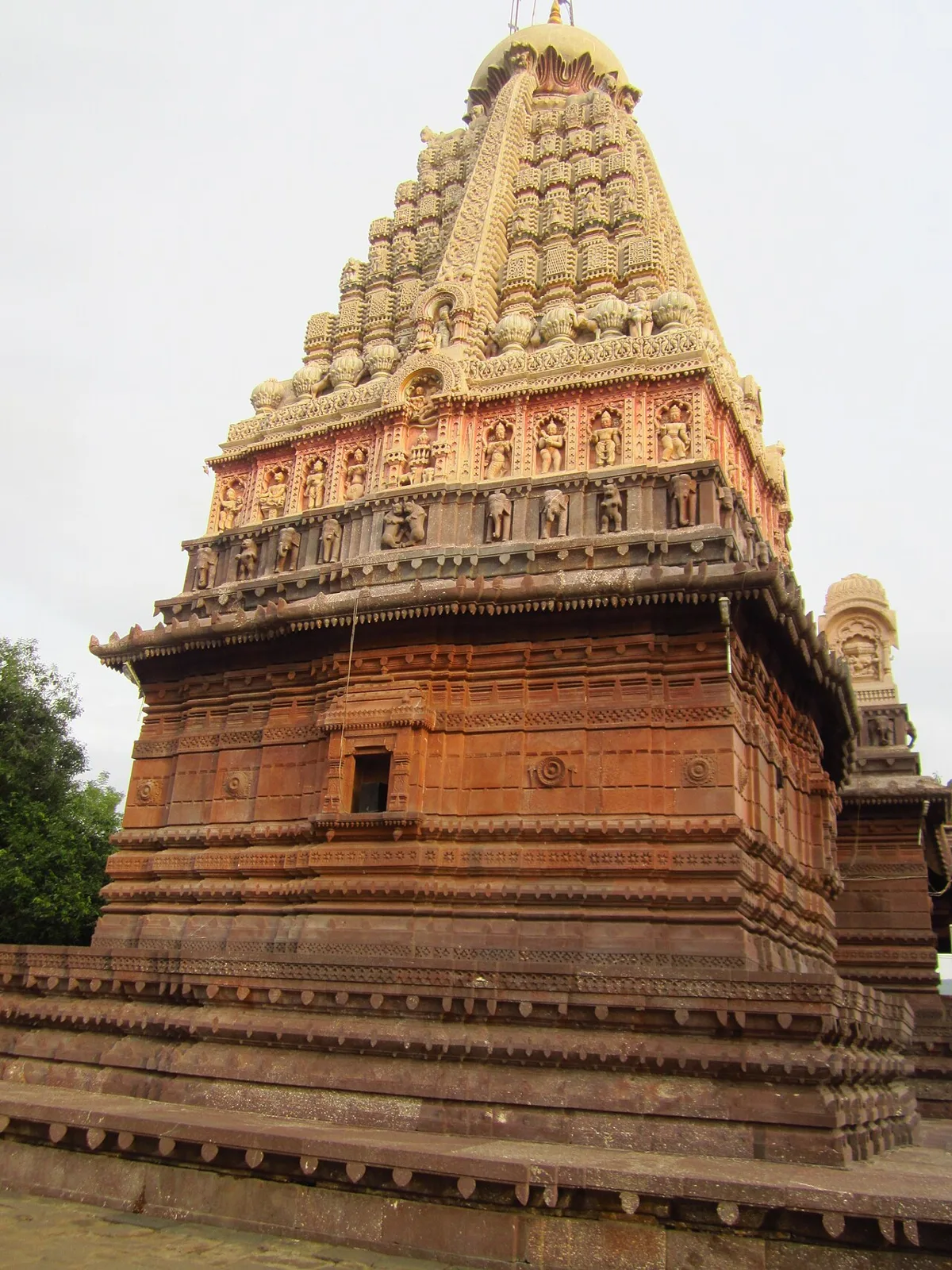
Ghrishneshwar Temple

Ghrishneshwar Temple is a Shiva shrine in Verul, Maharashtra, and one of the twelve Jyotirlingas. Visitors come to worship Shiva at this nationally protected temple.

Kalaram Temple

202 km away · Nashik district

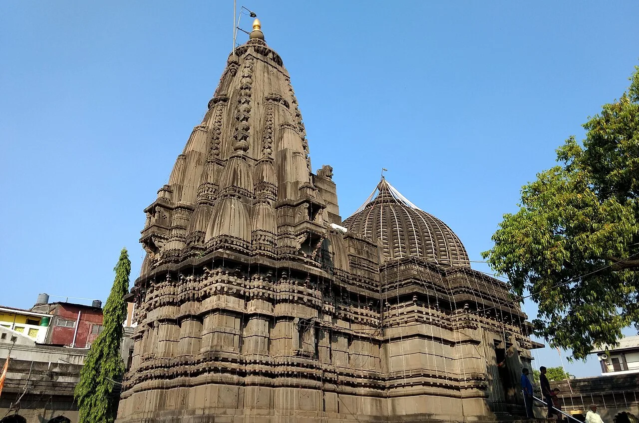
Kalaram Temple

Kalaram Temple is a Hindu shrine in Nashik, Maharashtra, devoted to Rama. Visitors come to worship at the temple, whose inner sanctuary also contains images of Sita and Lakshmana.

Daulatabad Fort

203 km away · Chhatrapati Sambhajinagar district

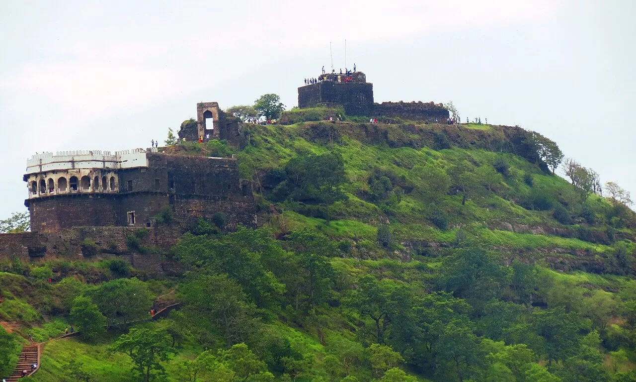
Daulatabad Fort

Daulatabad Fort is a historic stronghold in Maharashtra, first known as Devagiri. Visitors explore its history as a Yadava seat, briefly a Delhi Sultanate capital, and later an Ahmadnagar centre.

Aurangabad Caves

209 km away · Chhatrapati Sambhajinagar district

Aurangabad Caves

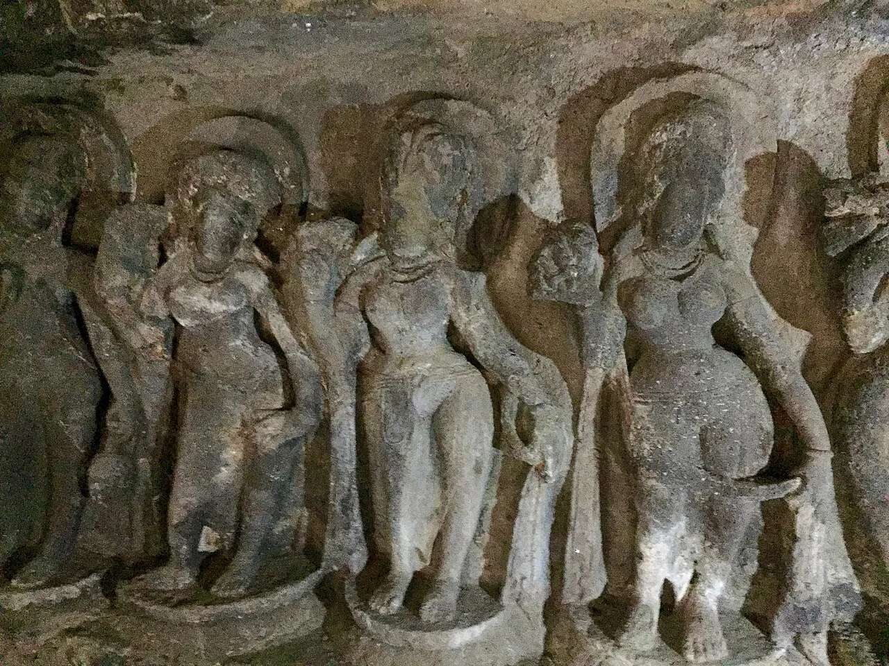
Near Aurangabad in Maharashtra, this hill complex contains twelve Buddhist sanctuaries excavated in basalt. Visitors explore its cave architecture and carvings, which represent several Buddhist traditions and include a range of deities.

Bibi Ka Maqbara

211 km away · Chhatrapati Sambhajinagar district

Bibi Ka Maqbara

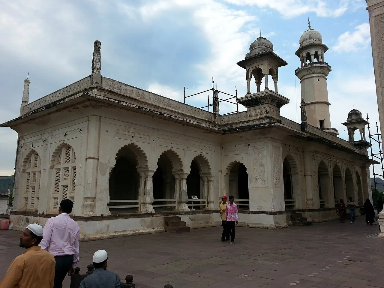
Bibi Ka Maqbara is a Mughal mausoleum in Aurangabad, Maharashtra, built for Dilras Banu Begum. Visitors come to see its resemblance to the Taj Mahal and its place in the region’s history.

Map

Khetia on the map

  1. 1Saptashrungi
  2. 2Ajanta Caves
  3. 3Ellora Caves
  4. 4Ghrishneshwar Temple
  5. 5Kalaram Temple
  6. 6Daulatabad Fort
  7. 7Aurangabad Caves
  8. 8Bibi Ka Maqbara

Maharashtra

Other cities to explore