Ghumoopedia — Explore, Discover, Experience
Sign in

City guide · Uttar Pradesh

Maholi

Maholi is a town and nagar panchayat in Sitapur district, in the fertile plains of Uttar Pradesh. Its importance today is chiefly regional: it serves as a tehsil headquarters and as a local centre for administration, services and everyday trade.

Famous for

  • Rajpasi history
  • Raja Hansa Pasi
  • Kathna River
  • Sitapur tehsil headquarters
  • Lucknow–Delhi highway

Why Maholi matters

Maholi is a town and nagar panchayat in Sitapur district, in the fertile plains of Uttar Pradesh. Its importance today is chiefly regional: it serves as a tehsil headquarters and as a local centre for administration, services and everyday trade. The tehsil was formed in 2013 from Misrikh tehsil, strengthening Maholi’s role in the district’s administrative network.

The town stands on the left bank of the Kathna River, about 24 kilometres from Sitapur and around 110 kilometres from Lucknow. Its position on the Lucknow–Delhi highway, part of the historic Grand Trunk Road route, makes it accessible to road travellers, while rail connections also serve the area. Maholi is not a major destination for landmark sightseeing, but its river setting, working-town character and association with the Rajpasi rulers give it interest for visitors exploring Sitapur district. The town is particularly remembered as a chief seat of the Rajpasis, among whom Raja Hansa Pasi is regarded as a powerful ruler.
Famous for: crafts, trade & products

Maholi is not widely identified with a particular textile, handicraft, GI-tagged product or specialist industry. Its commercial life is primarily local: shops and market streets serve residents and surrounding villages with everyday provisions, clothing, household goods and services. Visitors looking for a distinctive craft or a product made exclusively in Maholi should not expect a dedicated craft quarter or a nationally recognised speciality.

The town bazaar and central shopping streets are the practical places to browse or buy daily-use goods and locally available produce. As in many towns in the region, traders supply goods suited to nearby communities, but specific products and stock can vary. Maholi’s more notable identity is administrative and historical rather than industrial: it is a tehsil centre and is associated with the Rajpasi past, especially Raja Hansa Pasi. For a broader selection of specialist shopping, travellers may need to look to larger towns in Sitapur district or beyond. Ask locally about current market days and availability, as these details are not fixed attractions.

History

Maholi is remembered as a chief seat of the Rajpasis, a community whose rulers held authority in the area. Raja Hansa Pasi is named in local historical accounts as the most powerful ruler associated with this tradition. Detailed, independently documented accounts of the town’s early development are limited, so its older history is best approached through this regional association rather than through a long sequence of firmly dated events.

In the colonial era, Maholi lay within the wider Awadh region, which came under British rule in the nineteenth century. Its position on the route between Lucknow and Delhi helped connect it with regional movement and commerce. The town later developed as part of Sitapur district’s network of local centres. In 2013, Maholi became one of the district’s tehsils after being separated from Misrikh, giving it a distinct administrative role. Today, its road and rail links, town services and tehsil offices underpin its importance to nearby settlements.

Food, festivals & culture

Maholi shares the everyday food culture of the central Uttar Pradesh plains. Meals commonly centre on wheat breads, lentils, vegetables and seasonal ingredients; sweets and snacks are available through local shops, though the town is not especially known for a signature dish. Hindi is widely used, and Awadhi is also spoken in the surrounding region. Family, neighbourhood and religious life shape the town’s cultural calendar.

Holi, usually celebrated in spring, and Diwali, in autumn, are major Hindu festivals; Navratri and Dussehra also bring devotional observances and community gatherings. Muslim residents mark Ramadan and Eid, with dates following the lunar calendar. Religious practice is reflected in local temples and mosques, which serve their communities rather than functioning as widely promoted visitor monuments. Devotional singing and regional folk performance may feature at seasonal celebrations, although Maholi is not known for a particular classical music or dance tradition. Visitors should approach places of worship respectfully and follow local customs.

Visiting the city

The cooler months, roughly November to February, are generally the most comfortable time to visit; summers can be very hot, while monsoon weather may affect road journeys. The nearest major airport is Chaudhary Charan Singh International Airport in Lucknow. Maholi Railway Station serves the town, and Sitapur is the principal nearby urban centre for onward connections. The Lucknow–Delhi highway provides road access.

Within Maholi, local vehicles and taxis can help with short trips, while the central bazaar and town centre are practical starting points for exploring. The Kathna River’s left-bank setting offers a sense of the landscape, but facilities for visitors may be limited. Maholi works best as a short stop or as part of a wider visit to Sitapur district; check local conditions before planning time at the river or smaller places of worship.

Trips from the city

Nearest places to visit from Maholi

Our closest destination guides, by straight-line distance.

Dudhwa National Park

96 km away · Lakhimpur Kheri district

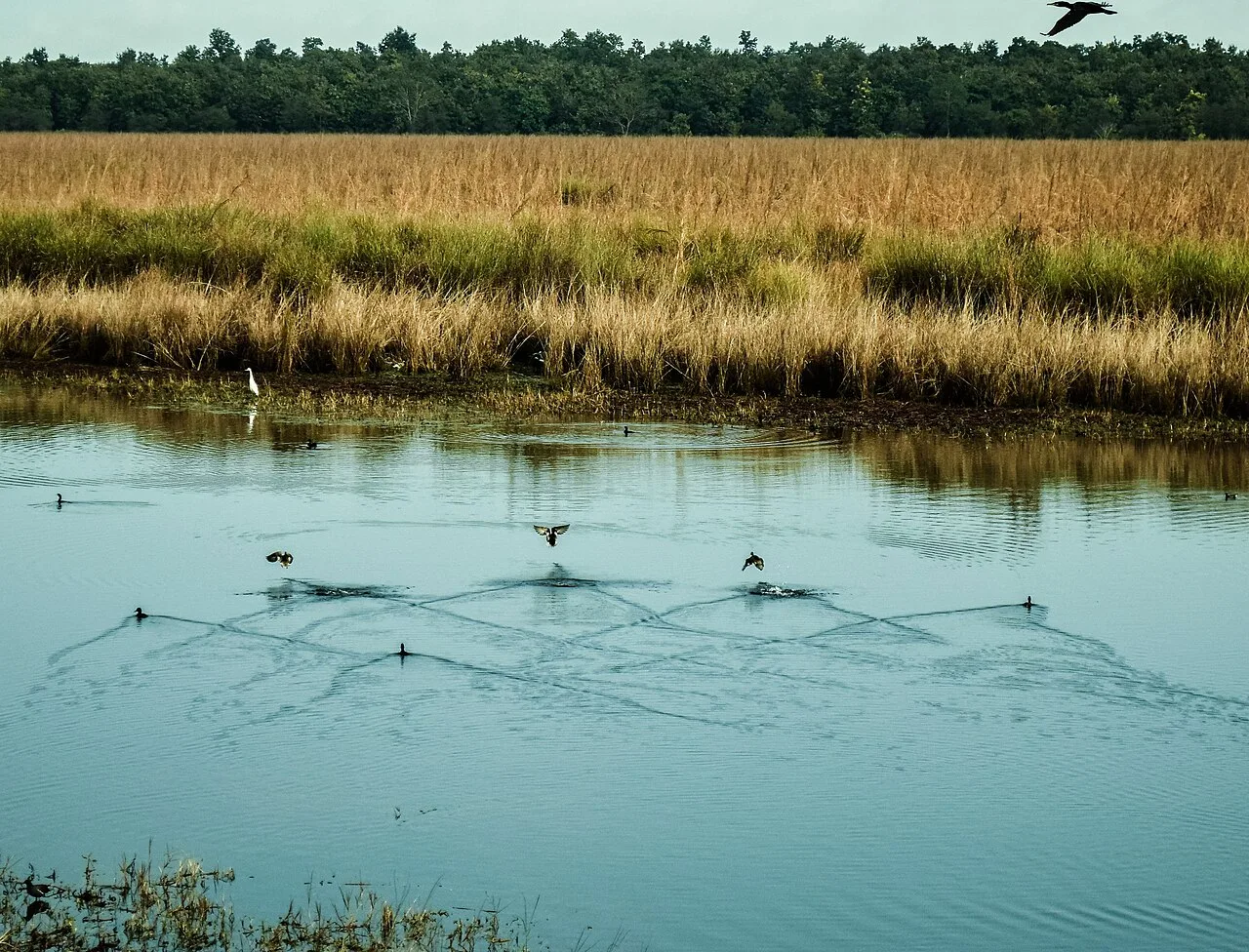
Dudhwa National Park

Dudhwa National Park is a protected area in Uttar Pradesh’s northern Terai, known for its marshy grassland setting. Visitors come to experience this landscape and explore a park within the Dudhwa Tiger Reserve.

Katarniaghat Wildlife Sanctuary

96 km away · Bahraich district

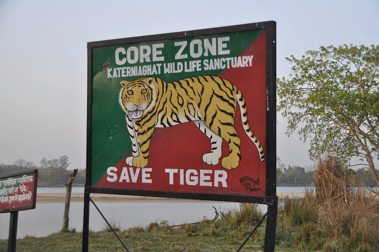
Katarniaghat Wildlife Sanctuary

Katarniaghat Wildlife Sanctuary is a protected area in Uttar Pradesh’s Bahraich district, visited by people interested in wildlife and its connection with the Dudhwa Tiger Reserve.

Bara Imambara

98 km away · Lucknow district

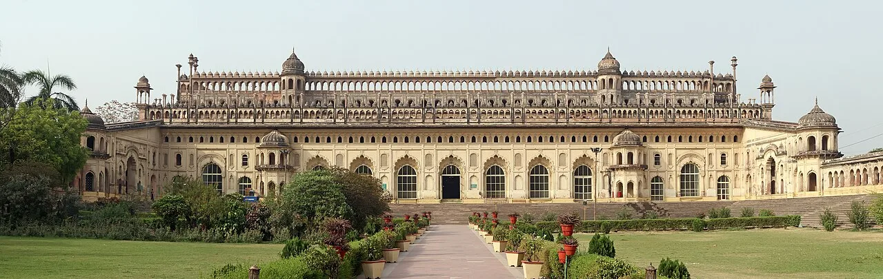
Bara Imambara

Bara Imambara, also known as the Asafi Imambara, is a religious complex in Lucknow. Visitors come to see its imambara and mosque and its status as a nationally important monument.

Chota Imambara

98 km away · Lucknow district

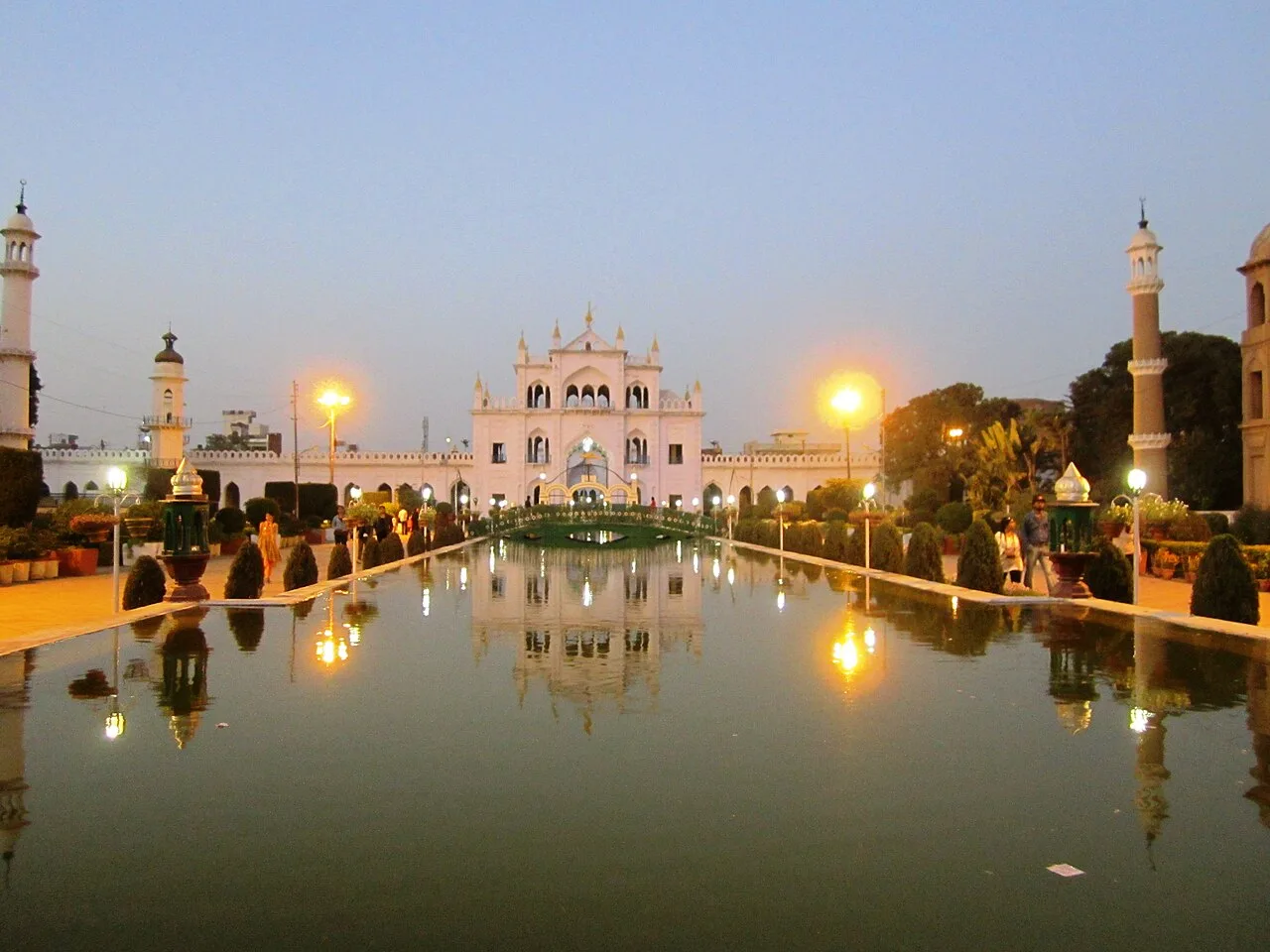
Chota Imambara

Chota Imambara, also called Imambara Hussainabad Mubarak, is a Shia religious hall and mausoleum in Lucknow. Visitors come to see its decorated interiors, calligraphy and distinctive ceremonial features.

Husainabad Clock Tower

98 km away · Lucknow district

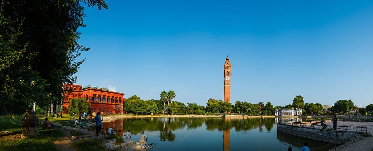
Husainabad Clock Tower

Husainabad Clock Tower is a historic structure in Lucknow, Uttar Pradesh, built to commemorate an official’s arrival. Visitors come to see its combination of Mughal and Victorian architectural features.

Rumi Darwaza

99 km away · Lucknow district

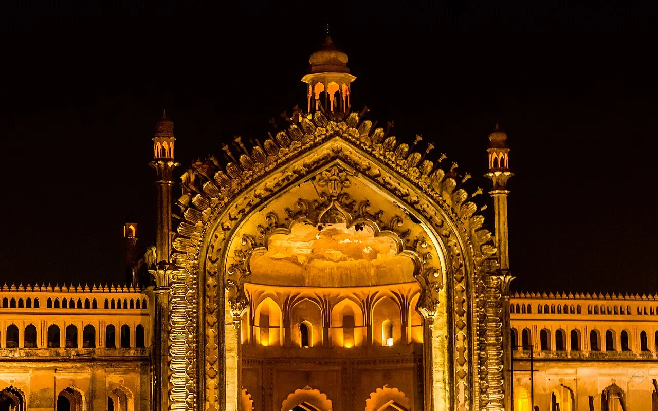
Rumi Darwaza

Rumi Darwaza is an 18th-century gateway in Lucknow, known for its Awadhi design and links to the city’s past. Visitors come to see its architecture and historic setting.

The Residency, Lucknow

100 km away · Lucknow district

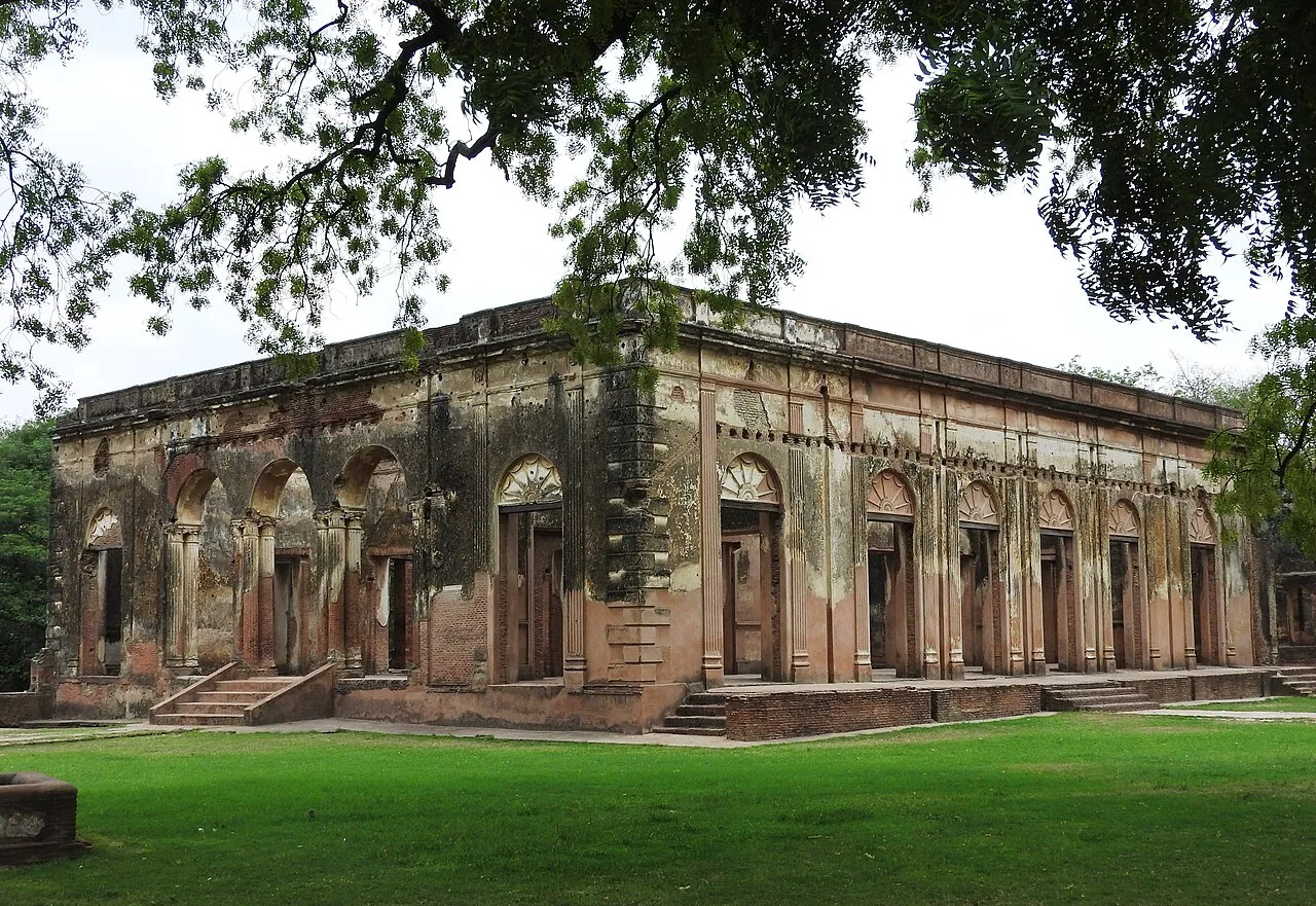
The Residency, Lucknow

The Residency is a collection of buildings in Lucknow associated with the British representative at the Nawab of Awadh’s court. Visitors can explore its former residential role and its setting near other landmarks.

Hazratganj Market

102 km away · Lucknow district

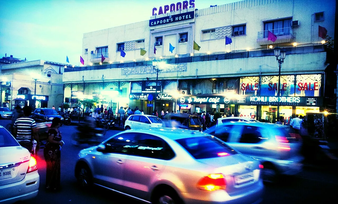
Hazratganj Market

Hazratganj Market is a commercial and shopping area in Lucknow, Uttar Pradesh. Visitors come for its bazaars, retail and dining options, entertainment venues and access to the metro.

Map

Maholi on the map

  1. 1Dudhwa National Park
  2. 2Katarniaghat Wildlife Sanctuary
  3. 3Bara Imambara
  4. 4Chota Imambara
  5. 5Husainabad Clock Tower
  6. 6Rumi Darwaza
  7. 7The Residency, Lucknow
  8. 8Hazratganj Market

Uttar Pradesh

Other cities to explore