Ghumoopedia — Explore, Discover, Experience
Sign in

City guide · West Bengal

Balurghat

Balurghat is the administrative headquarters of Dakshin Dinajpur district in northern West Bengal. Set beside the Atreyee River and connected by National Highway 512 and rail, it serves as a centre for government services, education, trade and transport for the surrounding rural area.

Famous for

  • Atreyee River
  • Dakshin Dinajpur headquarters
  • Rice and agricultural trade
  • Bolla Kali Puja
  • Balurghat College

Why Balurghat matters

Balurghat is the administrative headquarters of Dakshin Dinajpur district in northern West Bengal. Set beside the Atreyee River and connected by National Highway 512 and rail, it serves as a centre for government services, education, trade and transport for the surrounding rural area. Rice cultivation is an important part of the local economy, and the town’s markets link nearby farming communities with urban buyers.

Visitors come for a quieter view of district-town life, the river setting and the town’s Bengali cultural calendar. Balurghat also makes a useful base for exploring sites elsewhere in Dakshin Dinajpur, including the Bolla Kali temple and the archaeological remains at Bangarh near Gangarampur. Its position close to the Bangladesh border has shaped its history and regional role, though border access is governed by official rules. Balurghat is not a large resort destination; its appeal lies in its administrative and market-town character, local festivals and access to the wider district.
Famous for: crafts, trade & products

Balurghat is best known locally for agricultural trade, particularly rice and other produce from the surrounding countryside. Its shops and central market areas serve residents and nearby villages with groceries, clothing, household goods and seasonal food. The town has small-scale industries, but it is not especially associated with a signature textile, saree or handicraft tradition. Nor is it widely identified with a specific GI-tagged product. Visitors looking for locally made goods can browse the town’s general markets, while remembering that these are everyday retail centres rather than specialist craft bazaars.

Education and public administration are prominent parts of Balurghat’s identity. Balurghat College, established in 1948, and Dakshin Dinajpur University are among its educational institutions. The town’s commercial role is closely tied to the district’s agricultural economy and its road and rail links. For locally grown food, market stalls are the most direct place to see what is in season; availability varies through the year. There is no single celebrated local product that defines Balurghat in the way a renowned weaving centre or craft town might.

History

Balurghat lies within a region with a long history. The wider area is associated with ancient Pundravardhana, and archaeological discoveries across the district point to settlement and cultural activity over many centuries. In medieval times, the region came under successive powers, including the Pala and Sena dynasties, followed by the rulers of Bengal. Its river and fertile agricultural land supported farming and local exchange.

Under British rule, Balurghat formed part of Dinajpur district in the Bengal Presidency and developed as an administrative and market centre. Partition in 1947 divided the historic Dinajpur region and placed Balurghat near the new international border with East Pakistan, now Bangladesh. Migration and disrupted trading links reshaped local life. After independence, Balurghat became an important administrative centre in West Bengal; it is now the headquarters of Dakshin Dinajpur district. The opening of Balurghat College in 1948 and the establishment of Dakshin Dinajpur University in 2018 reflect the town’s growing educational role.

Food, festivals & culture

Bengali is the main language of daily life. Hindi and other languages are also heard, while communities across the district include speakers of regional and tribal languages. Food follows the wider Bengali pattern: rice, fish, lentils and seasonal vegetables are common, with sweets and homemade pitha enjoyed on festive occasions. Local markets offer a changing selection of produce from nearby farms, rather than one dish or food product uniquely associated with the town.

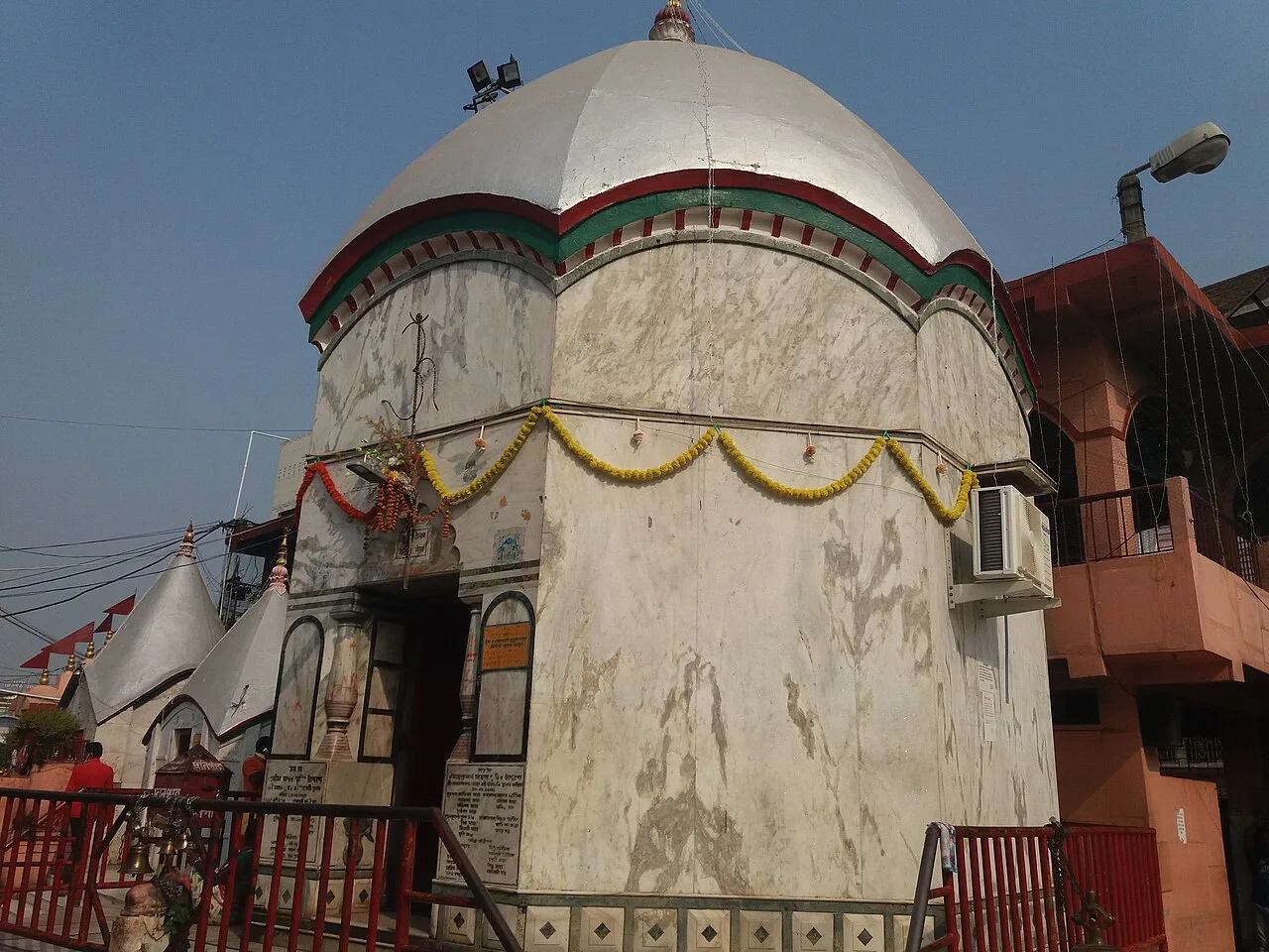
Durga Puja, usually in autumn, is a major occasion, with neighbourhood pandals and community celebrations. Kali Puja follows later in the festive season, while Saraswati Puja, Eid and Christmas are also observed. The Bolla Kali temple, outside the town, draws visitors for its annual puja and fair. Bengali music and folk performance are part of local celebrations; Santhali music and dance can also be encountered in the wider district. Temples, mosques and churches reflect the area’s diverse religious life.

Visiting the city

The cooler, drier months from about November to February are generally most comfortable for exploring; summers can be hot, and monsoon rains may affect road travel. Balurghat Airport is the nearest airport, but it does not generally have scheduled commercial services. Bagdogra Airport is a major option for regular flights, followed by a long journey overland. Balurghat railway station is the town’s main rail station.

Auto-rickshaws and cycle rickshaws are useful for short trips, and taxis can be arranged for journeys around the district. Explore the central market and civic area, then walk along accessible stretches of the Atreyee riverbank. For a wider itinerary, consider Bolla Kali temple or Bangarh near Gangarampur; check local conditions and transport before setting out.

Trips from the city

Nearest places to visit from Balurghat

Our closest destination guides, by straight-line distance.

Adina Mosque

62 km away · Malda district

Adina Mosque

Adina Mosque is a Sultanate-era imperial mosque in Pandua, West Bengal. Visitors come to explore its monumental architecture and learn about the ambitions of the Bengal Sultanate.

Gaur (Gauda) Ruins

76 km away · Malda district

Gaur (Gauda) Ruins

Gauda’s remains in Malda preserve traces of a former Bengal capital. Visitors explore its Sultanate-era buildings and the story of a city shaped by changing rulers and rivers.

Katra Masjid

125 km away · Murshidabad district

Katra Masjid

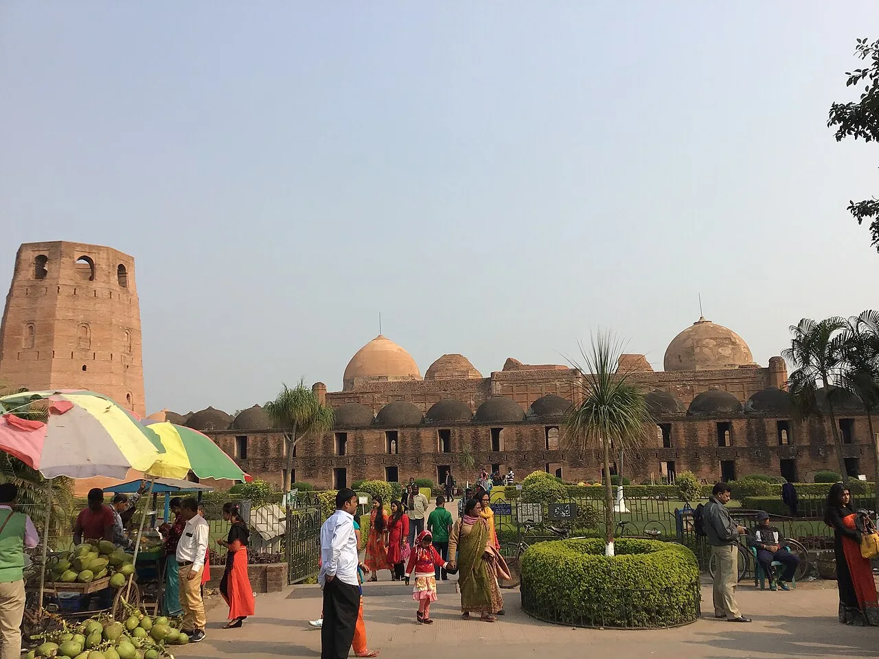
Katra Masjid is a partly ruined complex in Murshidabad, West Bengal, combining a former Shia caravanserai, mosque and tomb. Visitors come to see its historic architecture and the burial place of its founder.

Hazarduari Palace

126 km away · Murshidabad district

Hazarduari Palace

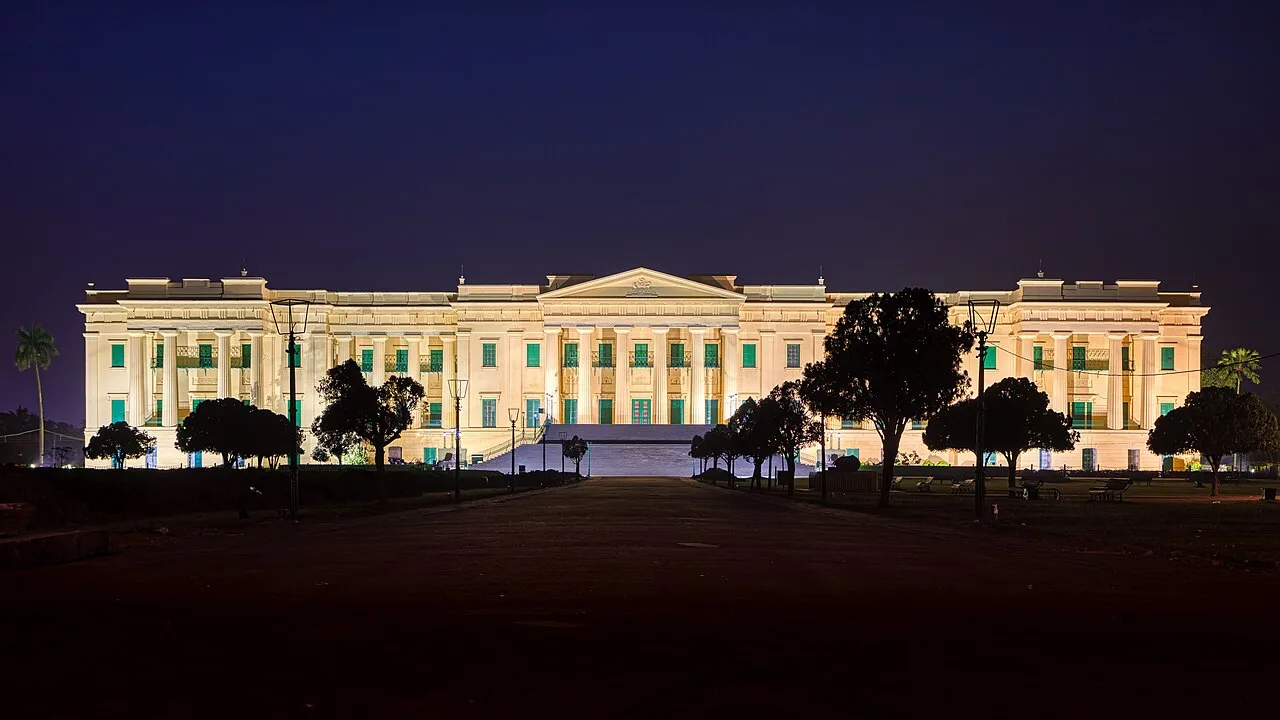
Hazarduari Palace is a former royal residence in Murshidabad, now a museum and national monument. Visitors come to see its nineteenth-century architecture and explore its cultural role.

Nizamat Imambara

126 km away · Murshidabad district

Nizamat Imambara

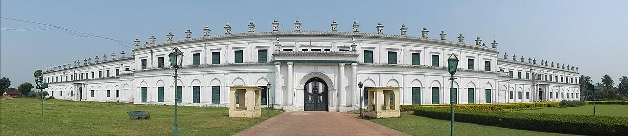
Nizamat Imambara is a Shi’ite congregation hall in Murshidabad, noted for its history and scale; visitors come to see a historic site recognised for national importance.

Cooch Behar Palace

140 km away · Cooch Behar district

Cooch Behar Palace

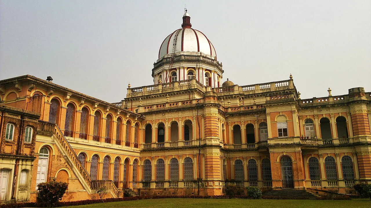
Cooch Behar Palace is a notable city landmark, valued for its Italian Renaissance design and its present role as a museum.

Mahananda Wildlife Sanctuary

149 km away · Darjeeling district

Mahananda Wildlife Sanctuary

Mahananda Wildlife Sanctuary is a protected reserve in West Bengal’s Darjeeling district, among the Himalayan foothills, with the Teesta on one side and the Mahananda on the other. Visitors come for its forest and wildlife.

Tarapith

158 km away · Birbhum district

Tarapith

Tarapith is a town in West Bengal’s Birbhum district and a Hindu pilgrimage destination. Visitors come to worship the goddess Tara at its Tantric temple and visit nearby religious sites.

Map

Balurghat on the map

  1. 1Adina Mosque
  2. 2Gaur (Gauda) Ruins
  3. 3Katra Masjid
  4. 4Hazarduari Palace
  5. 5Nizamat Imambara
  6. 6Cooch Behar Palace
  7. 7Mahananda Wildlife Sanctuary
  8. 8Tarapith

West Bengal

Other cities to explore