Ghumoopedia — Explore, Discover, Experience
Sign in
Gaur (Gauda) Ruins, near Dhulian

City guide · West Bengal

Dhulian

Dhulian is a riverside municipality in Samserganj block, in Murshidabad district’s Jangipur subdivision. Set between the Ganges and the Feeder Canal, it has long linked river transport, local markets and settlements along this stretch of Bengal.

Famous for

  • Ganges-side river town
  • Biri trade and work
  • Historic ferry and market
  • Indigo Revolt connections
  • Ganga river erosion

Why Dhulian matters

Dhulian is a riverside municipality in Samserganj block, in Murshidabad district’s Jangipur subdivision. Set between the Ganges and the Feeder Canal, it has long linked river transport, local markets and settlements along this stretch of Bengal. The Ganges is called the Padma farther downstream in Bangladesh, and the river also shapes Dhulian’s changing landscape and its history of severe erosion.

The town grew as a ferry point and commercial centre, trading in products such as biri, jute, rice and agricultural goods. Today, Dhulian serves nearby communities and sits within a region known for bidi-making and riverbank agriculture. Its appeal to visitors is less about a major monument or resort district than the experience of a working river town: its busy bazaar, everyday Bengali life and views of the Ganges. The wider area also carries the memory of indigo cultivation and the Indigo Revolt. River conditions can change quickly, so access to the bank and nearby settlements should be checked locally.
Famous for: crafts, trade & products

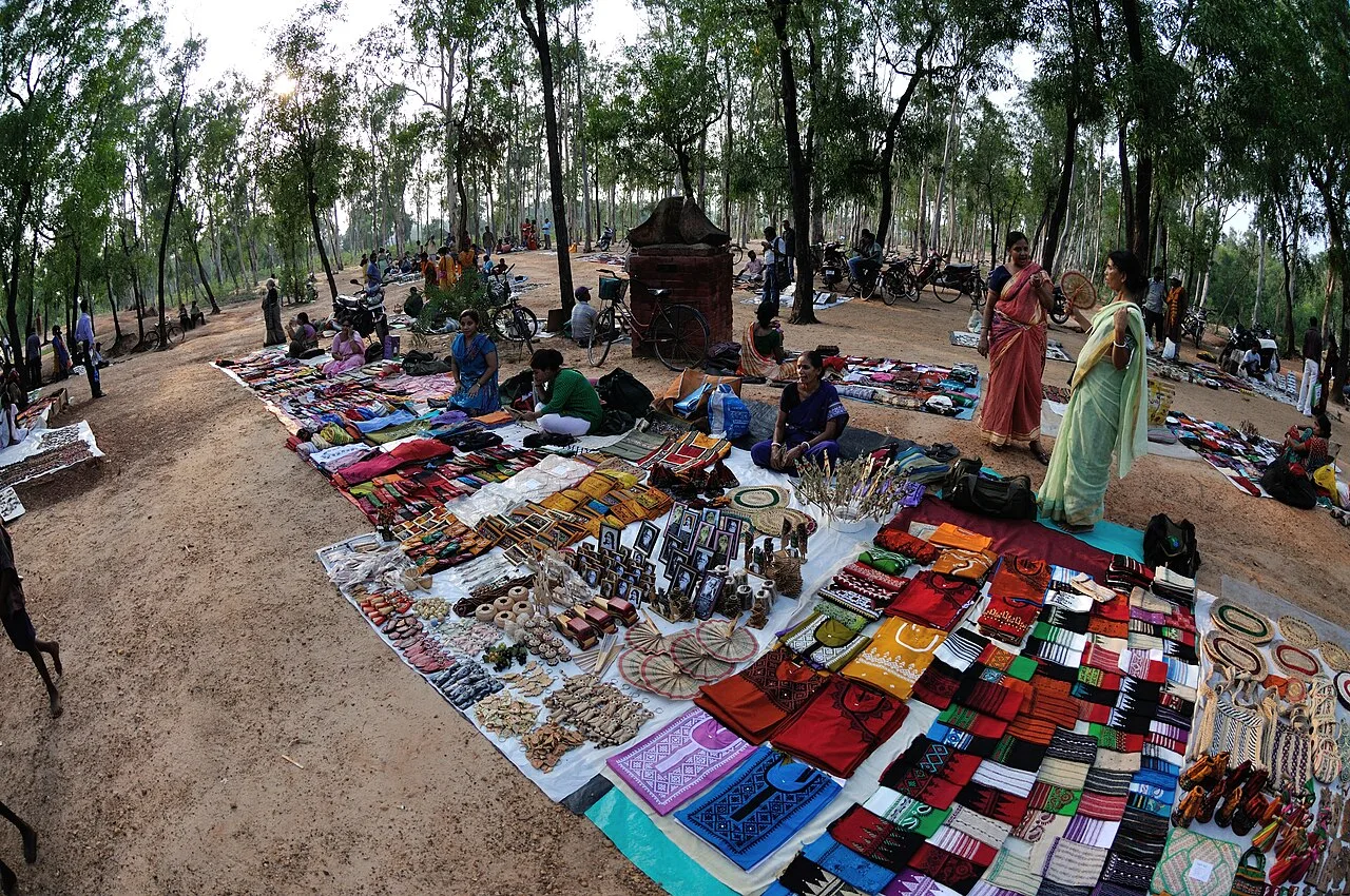
Dhulian’s commercial identity grew around river transport and a busy local market. Historical trade included biri (often called bidi), jute, rice, bellmetal and other agricultural produce. Bidi-making remains an important livelihood across the wider Jangipur subdivision, with much of the work traditionally done at home; it is better understood as a regional industry than as a visitor-focused attraction. The town’s bazaar is the practical place to look for everyday goods and locally traded products.

Dhulian is not especially documented for a signature textile, handicraft or GI-tagged product. Bellmetal appears in accounts of its historic trade, but visitors should not assume that it is a distinctive local craft available from specialist workshops. For a feel of the town’s trading character, explore the central market and the roads connecting it with the river and ferry-side areas. Rice, jute and farm produce reflect the wider local economy, though availability varies by season. Visitors looking for a particular craft or product can ask local shopkeepers, rather than expect a dedicated craft district or formal tourist market.

History

Before becoming a municipality, Dhulian was a rural ferry settlement on the right bank of the Hooghly, the name commonly used for the Ganges in this part of Bengal. Its ferry connections helped it develop into a river mart trading in biri, jute, rice, bellmetal and agricultural produce. During East India Company rule, indigo factories operated in the surrounding area. The Ancoorah and Bunnyagaon factories were attacked by ryots from Dhulian and Kashimnagar during the Indigo Revolt.

Dhulian Municipality was established in 1909, initially with nine wards. River erosion repeatedly altered the town’s location and growth. In 1924, the Ganges swept away a large area near the settlement, prompting residents to move towards Anupnagar. The old town and its railway station were later lost to erosion, and a new station was established at Ratanpur. Further destruction in 1952–53 and the mid-1970s displaced residents and removed farmland. Erosion has continued to affect the wider Samserganj riverbank in recent decades.

Food, festivals & culture

Dhulian shares the everyday food traditions of this part of Bengal. Rice, fish, lentils and seasonal vegetables are common, while Bengali sweets can be found at local shops; the town is not widely known for a particular signature dish. Bengali is central to local life, and Hindi and Urdu may also be heard. The area’s food and speech reflect its varied communities and its links with neighbouring districts and the river corridor.

Durga Puja, usually celebrated in autumn, and Kali Puja later in the season are important Hindu observances across the region. Muslim residents mark Eid al-Fitr and Eid al-Adha, with Muharram observed in the Islamic calendar. Celebrations are community-centred, with worship, family gatherings and local events. Mosques and Hindu temples serve neighbourhoods throughout the town. Bengali folk and devotional music are part of the wider cultural setting, though Dhulian is not particularly known for a distinct local dance or music tradition. Visitors should follow local customs at places of worship and ask before taking photographs.

Visiting the city

October to March is generally the most comfortable period to visit, with cooler, drier weather than the summer and monsoon months. The nearest major commercial airport is Netaji Subhas Chandra Bose International Airport in Kolkata. Dhulian Ganga is the town’s main railway station, located at Ratanpur rather than on the original riverside town site. Check current road and rail connections before travelling.

Auto-rickshaws and other local road transport can help with short trips, while buses and shared vehicles connect the town with nearby places. The central bazaar offers a glimpse of everyday commerce; the Kanchantala–Ferry Ghat Road and river-side areas provide context for Dhulian’s history as a ferry and trading town. The Ganges bank is vulnerable to erosion, so avoid unstable edges and seek local advice about safe access. Dhulian is best explored as a working town rather than as a destination with a concentrated tourist quarter.

Trips from the city

Nearest places to visit from Dhulian

Our closest destination guides, by straight-line distance.

Gaur (Gauda) Ruins

27 km away · Malda district

Gaur (Gauda) Ruins

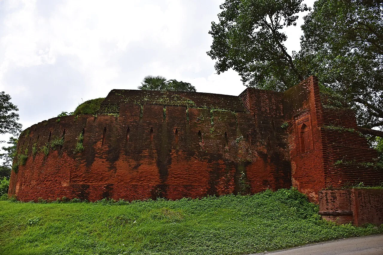
Gauda’s remains in Malda preserve traces of a former Bengal capital. Visitors explore its Sultanate-era buildings and the story of a city shaped by changing rulers and rivers.

Adina Mosque

57 km away · Malda district

Adina Mosque

Adina Mosque is a Sultanate-era imperial mosque in Pandua, West Bengal. Visitors come to explore its monumental architecture and learn about the ambitions of the Bengal Sultanate.

Nizamat Imambara

63 km away · Murshidabad district

Nizamat Imambara

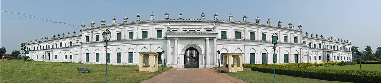
Nizamat Imambara is a Shi’ite congregation hall in Murshidabad, noted for its history and scale; visitors come to see a historic site recognised for national importance.

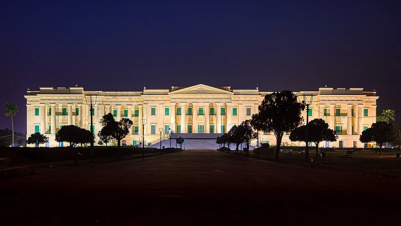
Hazarduari Palace

64 km away · Murshidabad district

Hazarduari Palace

Hazarduari Palace is a former royal residence in Murshidabad, now a museum and national monument. Visitors come to see its nineteenth-century architecture and explore its cultural role.

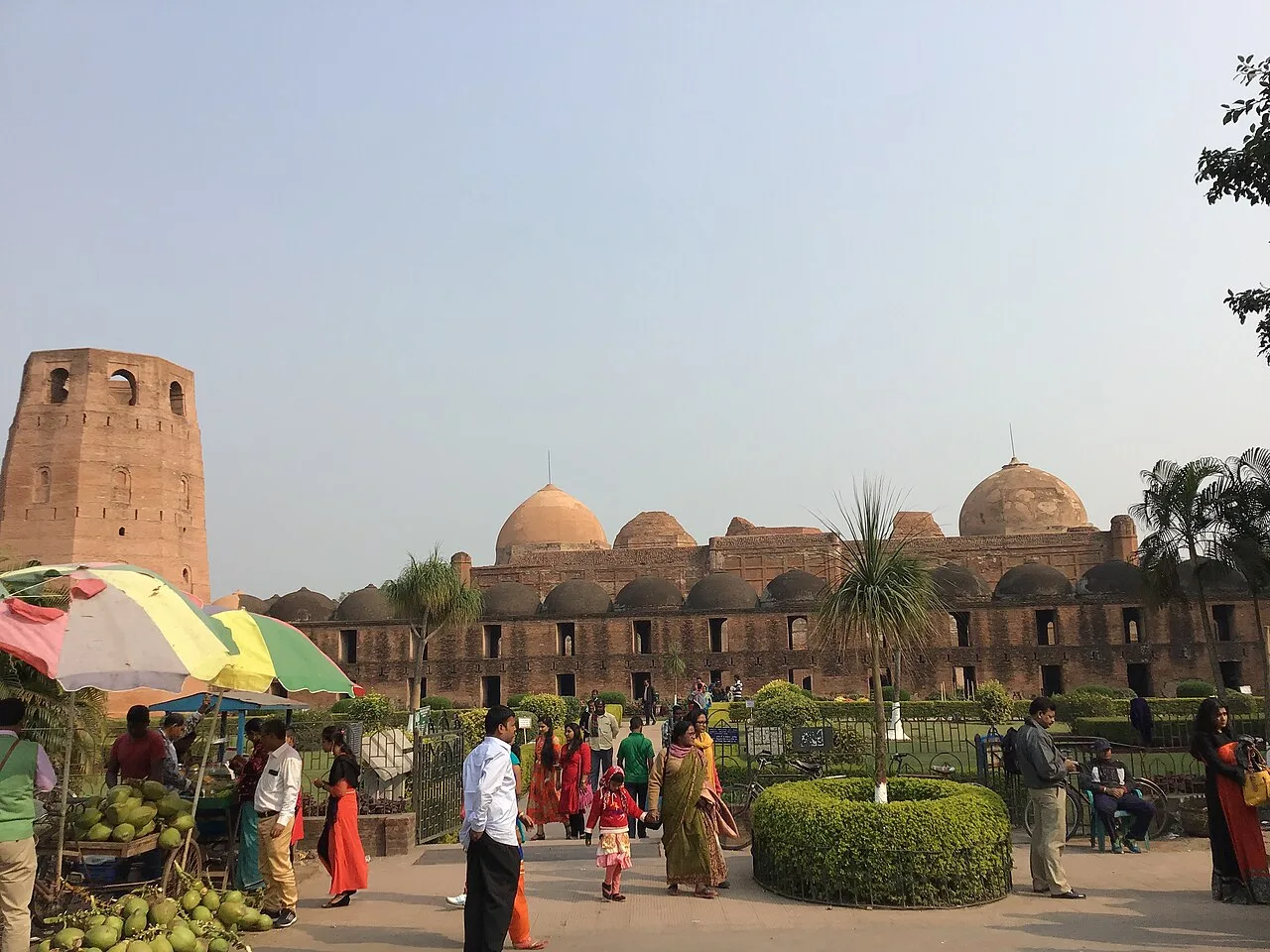
Katra Masjid

65 km away · Murshidabad district

Katra Masjid

Katra Masjid is a partly ruined complex in Murshidabad, West Bengal, combining a former Shia caravanserai, mosque and tomb. Visitors come to see its historic architecture and the burial place of its founder.

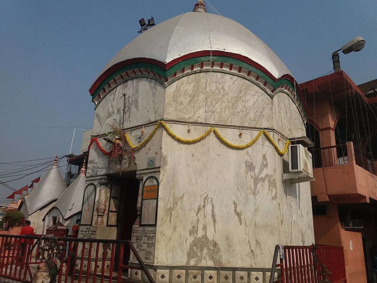
Tarapith

65 km away · Birbhum district

Tarapith

Tarapith is a town in West Bengal’s Birbhum district and a Hindu pilgrimage destination. Visitors come to worship the goddess Tara at its Tantric temple and visit nearby religious sites.

Bakreshwar

106 km away · Birbhum district

Bakreshwar

Bakreshwar is a village in Birbhum district, West Bengal. Visitors may be interested in the nearby Bakreshwar thermal power facilities, and Dubrajpur is the closest rail connection.

Santiniketan

115 km away · Birbhum district

Santiniketan

Santiniketan is a neighbourhood of Bolpur in West Bengal, associated with the Tagore family and Visva-Bharati. Visitors come to explore its heritage and its status as a UNESCO World Heritage site.

Map

Dhulian on the map

  1. 1Gaur (Gauda) Ruins
  2. 2Adina Mosque
  3. 3Nizamat Imambara
  4. 4Hazarduari Palace
  5. 5Katra Masjid
  6. 6Tarapith
  7. 7Bakreshwar
  8. 8Santiniketan

West Bengal

Other cities to explore