Ghumoopedia — Explore, Discover, Experience
Sign in
Jaldapara National Park, near Falakata

City guide · West Bengal

Falakata

Falakata is a municipality in Alipurduar district, set in the northern West Bengal region known as the Dooars and close to the Jaldhaka River. Its importance is chiefly regional: it serves as a town for shopping, transport and everyday services for residents of Falakata and surrounding settlements.

Famous for

  • Jaldhaka River setting
  • Dooars market-town role
  • North Bengal rail link
  • Access to nearby countryside

Why Falakata matters

Falakata is a municipality in Alipurduar district, set in the northern West Bengal region known as the Dooars and close to the Jaldhaka River. Its importance is chiefly regional: it serves as a town for shopping, transport and everyday services for residents of Falakata and surrounding settlements. The railway and road connections make it a practical stop when travelling through this part of North Bengal, rather than a destination built around a single major monument.

Visitors may use Falakata as a base for seeing the wider Dooars landscape, with its river country, tea-growing areas and forest destinations. The town itself offers a look at ordinary local life, from busy commercial streets to places of worship and the surrounding countryside. Falakata is not especially known for a nationally distinctive craft, textile or food; its character comes more from its position within a varied borderland region and its role in linking nearby communities. For a quieter visit, the river surroundings and rural roads offer a change of pace from the town centre, though local guidance is useful when exploring beyond it.
Famous for: crafts, trade & products

Falakata is best understood as a local trading and service centre rather than a specialist production hub. Its shops and market streets cater to nearby communities, with everyday goods and regional produce. Tea is an important feature of the wider Dooars economy, and tea from the region may be found through local retailers, but Falakata is not itself widely identified with a particular tea brand or estate. The town is also not notably associated with a distinctive saree tradition, craft cluster or locally registered GI product.

For visitors, the central commercial area is the most straightforward place to browse for provisions, snacks and household goods. Small shops may carry seasonal produce from the surrounding countryside, although selection varies. There is no widely established Falakata-specific handicraft or specialty-food market to seek out; for a broader range of regional goods, larger towns elsewhere in North Bengal may offer more choice. The town’s significance lies in serving its local hinterland and connecting it with the wider Dooars, not in a single signature product.

History

Falakata’s history is best understood within that of the wider Dooars, a frontier region shaped over time by the Koch kingdom, Bhutanese influence and British expansion. Following the 1865 Treaty of Sinchula, Britain took control of the western Dooars. Under colonial rule, tea cultivation and transport links reshaped the regional economy, encouraging the growth of settlements and local trading centres. Falakata developed within this changing landscape, although a well-documented founding date or detailed account of its earliest town history is not widely established.

After independence, the town continued to serve nearby rural communities through commerce and transport. For many years the area formed part of Jalpaiguri district; Alipurduar became a separate district in 2014, placing Falakata within its present administrative setting. Municipal government and improved regional connections reflect the town’s growth as a local urban centre. Its development has been practical and gradual, tied to surrounding settlements and the broader Dooars economy rather than to a single royal or colonial landmark.

Food, festivals & culture

Daily life in Falakata reflects the cultural mix of North Bengal. Bengali is widely used, alongside languages such as Rajbanshi, Nepali and Hindi in the wider area. Meals commonly draw on Bengali home cooking: rice, fish, lentils and seasonal vegetables, with tea a familiar part of the day. Local sweet shops serve Bengali-style sweets, though Falakata is not especially known for one signature dish or confection.

Durga Puja in autumn is a major public festival, with neighbourhood celebrations and gatherings. Kali Puja and Diwali follow later in the season, while Saraswati Puja is observed in winter. Eid is celebrated by Muslim residents according to the lunar calendar, and other community and religious observances add to the year’s rhythm. North Bengal’s folk culture includes Bhawaiya songs and Rajbanshi traditions; these belong to the wider region rather than to a single Falakata performance venue. Temples and mosques serve as important places of worship and community life, alongside household and neighbourhood observances.

Visiting the city

October to March is generally the most comfortable time to visit, with cooler, drier weather. The monsoon brings heavy rain to the Dooars, and travel conditions can be less predictable. Falakata Railway Station is the town’s main rail stop. Cooch Behar Airport is the nearest airport geographically; Bagdogra Airport is a practical alternative for travellers seeking a wider choice of commercial flights. Check current flight connections before planning around either airport.

Auto-rickshaws and local vehicles are useful for getting around town, while buses and taxis connect Falakata with nearby places. The central market streets are good for observing everyday town life and finding food or essentials. Visitors can also explore the town’s quieter edges and nearby Jaldhaka surroundings, taking local advice about access and conditions. Falakata works well as a modest stop or base for exploring the wider Dooars, rather than as a destination with a concentrated set of major attractions.

Trips from the city

Nearest places to visit from Falakata

Our closest destination guides, by straight-line distance.

Jaldapara National Park

20 km away · Alipurduar district

Jaldapara National Park

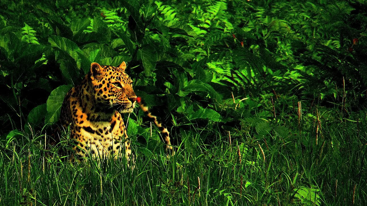
In northern West Bengal’s Alipurduar district, Jaldapara National Park protects grassland and riverside woodland along the Torsa. Visitors come to see its wildlife, including the state’s largest Indian rhinoceros population.

Cooch Behar Palace

32 km away · Cooch Behar district

Cooch Behar Palace

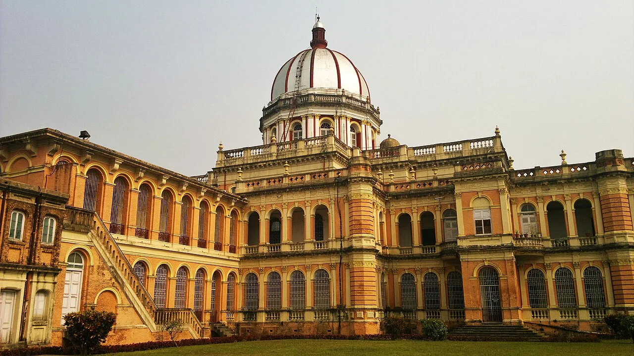
Cooch Behar Palace is a notable city landmark, valued for its Italian Renaissance design and its present role as a museum.

Buxa Tiger Reserve

40 km away · Alipurduar district

Buxa Tiger Reserve

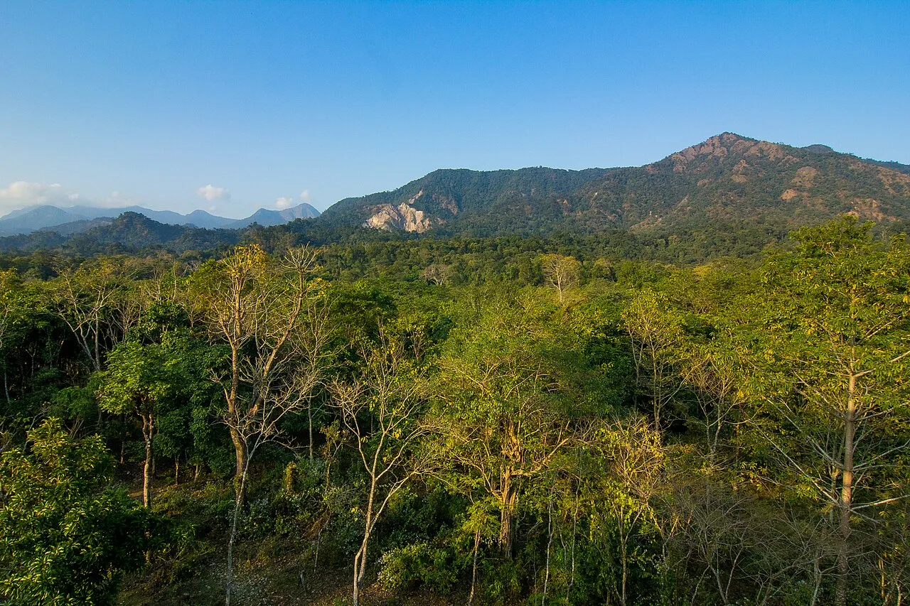
In Alipurduar district, West Bengal, Buxa is a 760 km² tiger reserve and national park. Visitors come for its rich bird and mammal life, which includes several notable species.

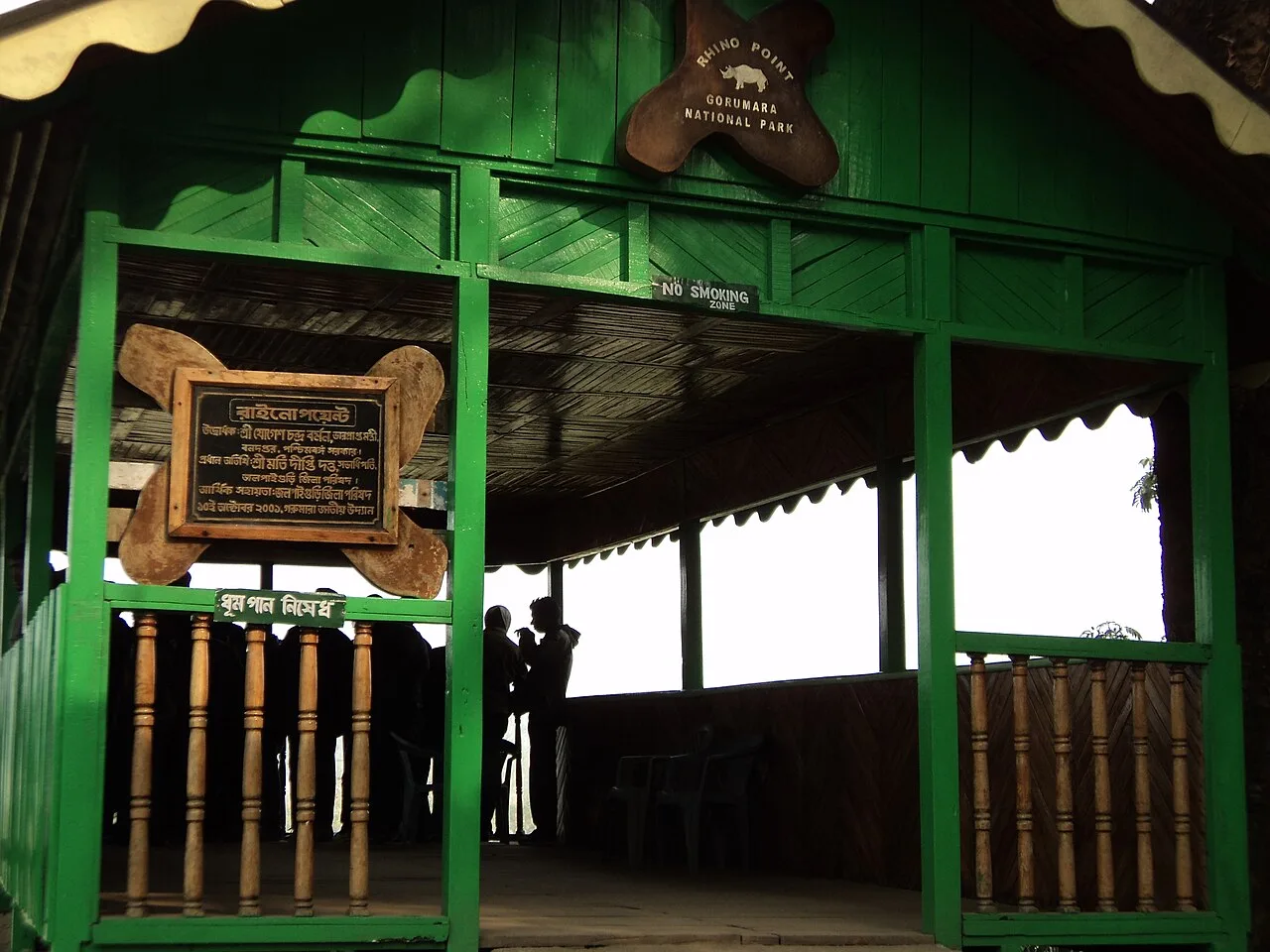
Gorumara National Park

45 km away · Jalpaiguri district

Gorumara National Park

Set in the Dooars foothills of the Himalayas, Gorumara is a protected area in northern West Bengal. Visitors come chiefly to see its Indian rhinoceroses among forests and grasslands.

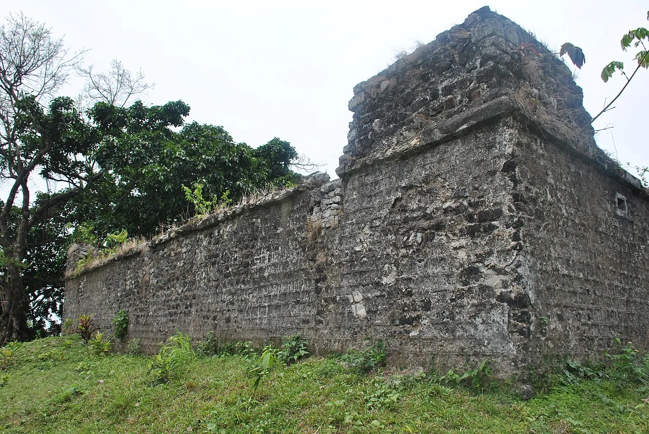
Buxa Fort

46 km away · Alipurduar district

Buxa Fort

Set within Buxa Tiger Reserve in West Bengal, Buxa Fort interests visitors for its former defensive role on a route through Bhutan and its later use as shelter for displaced people.

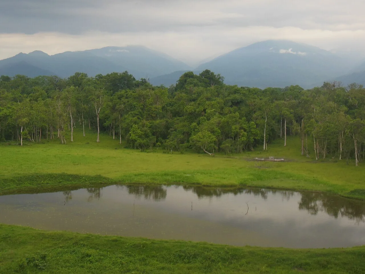
Chapramari Wildlife Sanctuary

53 km away · Jalpaiguri district

Chapramari Wildlife Sanctuary

Chapramari Wildlife Sanctuary is a forest reserve in northern West Bengal. Visitors come to experience its forest and wildlife, near Gorumara National Park.

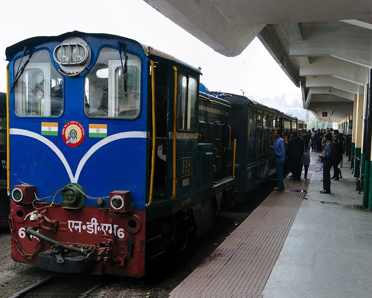
Darjeeling Himalayan Railway

78 km away · Darjeeling district

Darjeeling Himalayan Railway

This narrow-gauge railway runs through West Bengal between New Jalpaiguri and Darjeeling. Visitors travel its steep route on regular trains and on steam services to Ghum and Kurseong.

Neora Valley National Park

78 km away · Kalimpong district

Neora Valley National Park

Neora Valley National Park is a protected area in West Bengal’s Kalimpong district, established in 1986. Visitors are drawn by its varied wildlife and forest habitat, especially that of the red panda.

Map

Falakata on the map

  1. 1Jaldapara National Park
  2. 2Cooch Behar Palace
  3. 3Buxa Tiger Reserve
  4. 4Gorumara National Park
  5. 5Buxa Fort
  6. 6Chapramari Wildlife Sanctuary
  7. 7Darjeeling Himalayan Railway
  8. 8Neora Valley National Park

West Bengal

Other cities to explore