Ghumoopedia — Explore, Discover, Experience
Sign in
Tarapith, near Rampurhat

City guide · West Bengal

Rampurhat

Rampurhat is an important town in Birbhum district, serving as the administrative centre of its subdivision and a key transport and trading hub for the surrounding countryside. Its location near the West Bengal–Jharkhand border links it with communities and markets on both sides of the state line.

Famous for

  • Gateway to Tarapith
  • Rampurhat Railway Junction
  • Birbhum market town
  • Regional stone trade

Why Rampurhat matters

Rampurhat is an important town in Birbhum district, serving as the administrative centre of its subdivision and a key transport and trading hub for the surrounding countryside. Its location near the West Bengal–Jharkhand border links it with communities and markets on both sides of the state line. National highway connections and Rampurhat Railway Junction make it a practical base for travel through this part of western Bengal.

Many visitors pass through Rampurhat on their way to Tarapith, a prominent Hindu pilgrimage centre nearby. The town itself has busy markets and the everyday services of a regional centre, while the wider area offers a changing landscape of plains, river basins and, toward the northwest, the edges of the Rajmahal hills. Rampurhat is therefore useful both as a destination in its own right for local commerce and as a gateway for religious visits and exploration of Birbhum. Its character is shaped less by a single monument than by its connections, markets and role in regional life.
Famous for: crafts, trade & products

Rampurhat is best understood as a regional trading centre rather than a destination famed for a particular saree, handicraft or GI-tagged product. Its markets serve the town and the many rural settlements around it, with shops selling everyday goods, clothing, household items and agricultural produce. The central market areas are the most convenient places to browse and experience local commerce; the streets around the railway station also have shops and services for travellers.

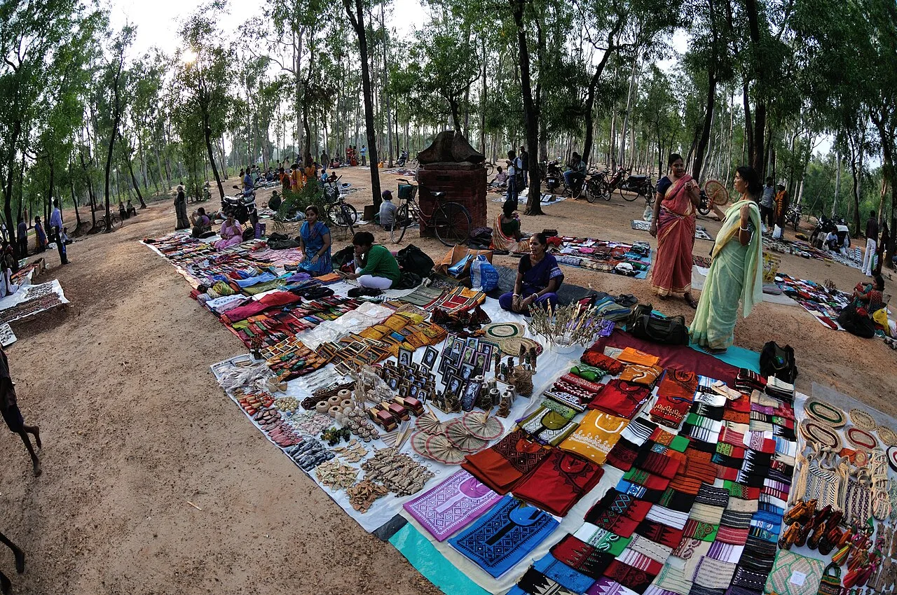
The wider Rampurhat area is associated with stone extraction and processing, making stone an important part of the local economy. This is a regional industry rather than a specialised souvenir trade, so visitors should not expect a dedicated craft bazaar. Birbhum has broader traditions of folk art and handmade textiles, but these are not exclusive to Rampurhat. For locally made goods, ask in the town’s general markets about current availability, as selection varies. Rampurhat’s strongest commercial identity is its role as a hub linking nearby villages, transport routes and pilgrimage traffic.

History

Rampurhat’s development is closely connected to its position in the northern part of Birbhum and its role as a service centre for the surrounding countryside. The wider region has a long history shaped by Bengali states and, later, British colonial administration, but the early history of the town itself is less prominent in commonly known accounts than the histories of nearby religious and regional centres.

Railway links established during the colonial period helped connect Rampurhat with other parts of Bengal and the eastern Indian hinterland. The station’s importance grew alongside the town’s markets and administrative functions. In modern West Bengal, Rampurhat became the headquarters of its subdivision and of Rampurhat I community development block. Road links, including a national highway corridor, have reinforced its role as a point of movement for trade, public services and journeys to nearby pilgrimage sites. Today, its growth reflects these practical connections more than a single royal or colonial landmark.

Food, festivals & culture

Bengali is the main language of daily life in Rampurhat; Hindi and Santali are also heard in this borderland region. Food follows familiar Bengali patterns, with rice, lentils, vegetables and fish common in local meals. Sweet shops offer Bengali favourites such as sandesh and rosogolla, though recipes and selections vary from shop to shop. The town’s markets and eateries are good places to sample everyday local food rather than seek a single signature dish.

Durga Puja in autumn and Kali Puja around the same season are among the major festivals, with community worship and decorated neighbourhoods. Religious visits to nearby Tarapith are an important part of the area’s spiritual life. Birbhum is also associated with Baul and other folk-music traditions, which visitors may encounter at local events, although performances are not guaranteed. Temples and neighbourhood puja pandals offer glimpses of worship and community life; Rampurhat’s culture is also expressed in its busy markets and its connections with surrounding rural communities.

Visiting the city

The cooler, drier months from roughly October to March are generally the most comfortable for visiting. Rampurhat Railway Junction is the main rail station. Deoghar Airport is a nearby airport option, while Netaji Subhas Chandra Bose International Airport in Kolkata offers a wider range of connections; check current services before planning around either airport.

Auto-rickshaws and local taxis are useful for getting around town, and buses and hired vehicles connect Rampurhat with nearby places. The central market streets are worth exploring for everyday town life, while the station area is convenient for transport and services. Rampurhat also makes a practical base for visiting Tarapith and other destinations in the wider Birbhum region. Allow time for road journeys, particularly when travelling beyond the town.

Trips from the city

Nearest places to visit from Rampurhat

Our closest destination guides, by straight-line distance.

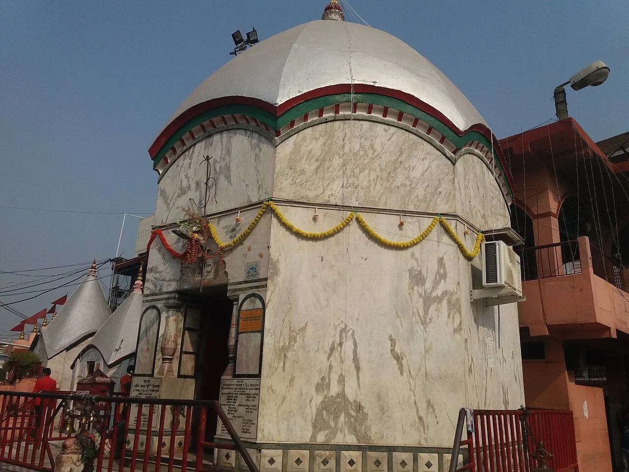
Tarapith

8 km away · Birbhum district

Tarapith

Tarapith is a town in West Bengal’s Birbhum district and a Hindu pilgrimage destination. Visitors come to worship the goddess Tara at its Tantric temple and visit nearby religious sites.

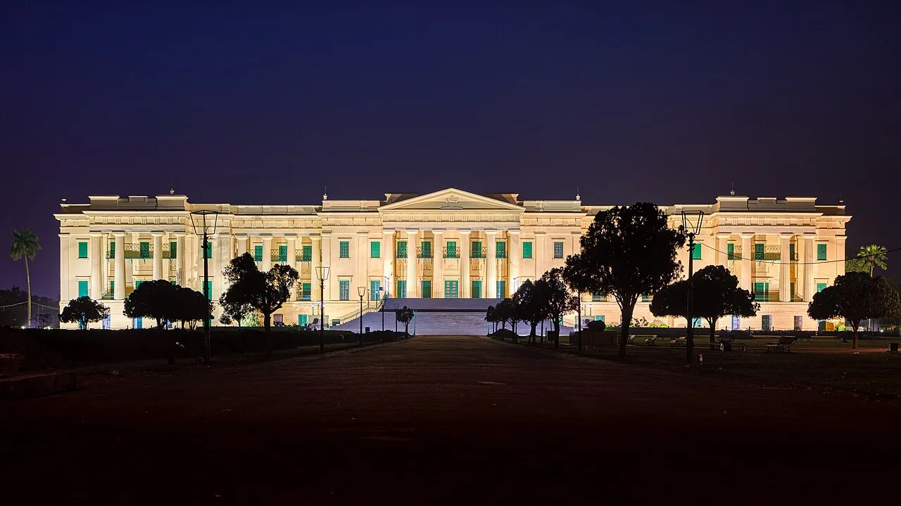
Hazarduari Palace

49 km away · Murshidabad district

Hazarduari Palace

Hazarduari Palace is a former royal residence in Murshidabad, now a museum and national monument. Visitors come to see its nineteenth-century architecture and explore its cultural role.

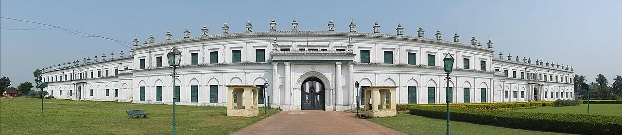
Nizamat Imambara

49 km away · Murshidabad district

Nizamat Imambara

Nizamat Imambara is a Shi’ite congregation hall in Murshidabad, noted for its history and scale; visitors come to see a historic site recognised for national importance.

Katra Masjid

51 km away · Murshidabad district

Katra Masjid

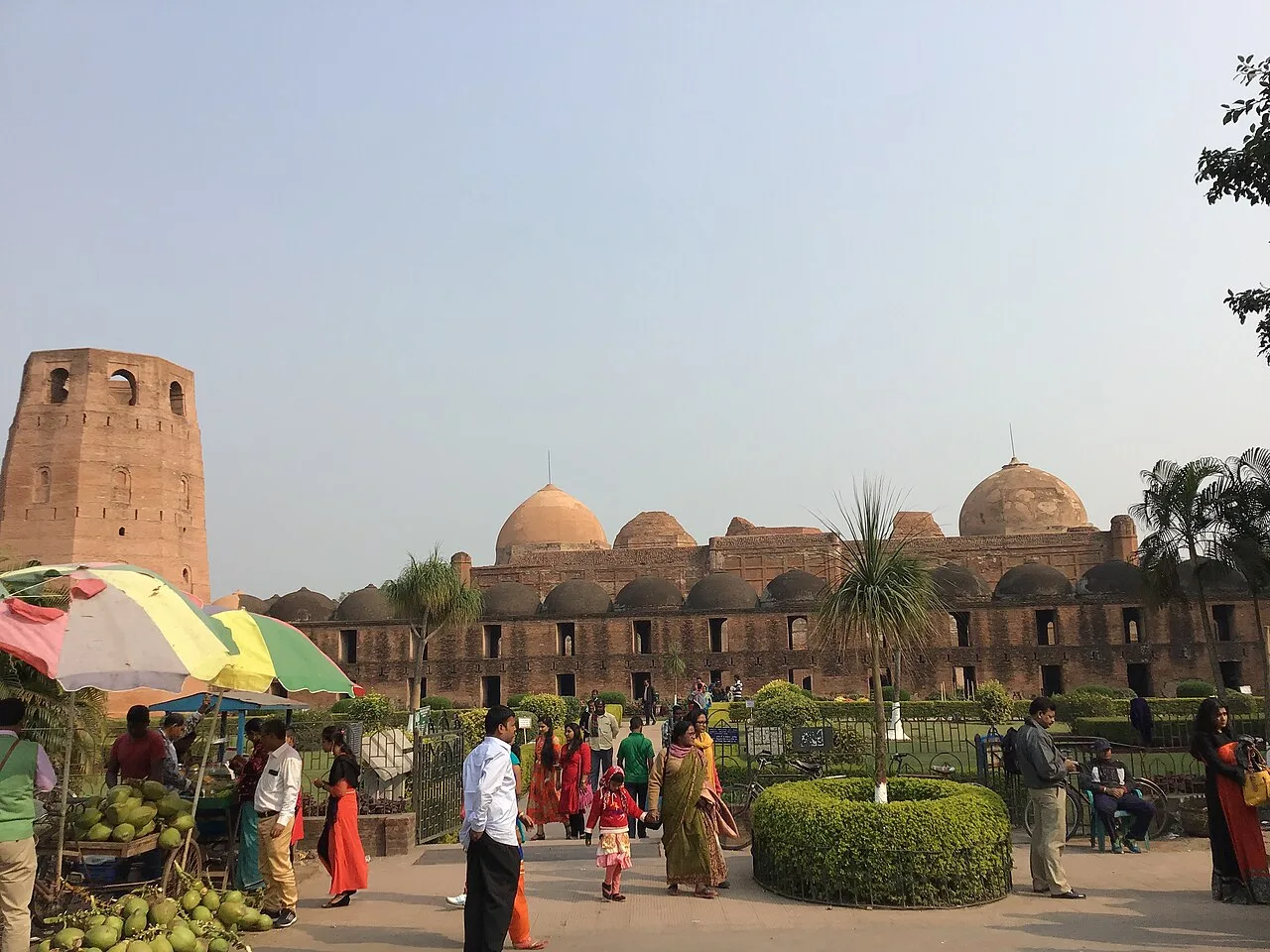
Katra Masjid is a partly ruined complex in Murshidabad, West Bengal, combining a former Shia caravanserai, mosque and tomb. Visitors come to see its historic architecture and the burial place of its founder.

Bakreshwar

53 km away · Birbhum district

Bakreshwar

Bakreshwar is a village in Birbhum district, West Bengal. Visitors may be interested in the nearby Bakreshwar thermal power facilities, and Dubrajpur is the closest rail connection.

Santiniketan

56 km away · Birbhum district

Santiniketan

Santiniketan is a neighbourhood of Bolpur in West Bengal, associated with the Tagore family and Visva-Bharati. Visitors come to explore its heritage and its status as a UNESCO World Heritage site.

Gaur (Gauda) Ruins

84 km away · Malda district

Gaur (Gauda) Ruins

Gauda’s remains in Malda preserve traces of a former Bengal capital. Visitors explore its Sultanate-era buildings and the story of a city shaped by changing rulers and rivers.

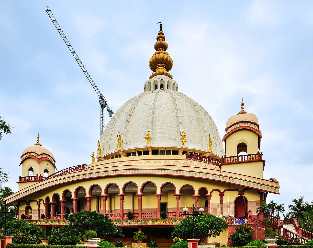
Mayapur

103 km away · Nadia district

Mayapur

Mayapur is a pilgrimage settlement in Nadia district, West Bengal, within Nabadwip CD block and Krishnanagar Sadar subdivision. Visitors come for its religious importance to Gaudiya Vaishnavas.

Map

Rampurhat on the map

  1. 1Tarapith
  2. 2Hazarduari Palace
  3. 3Nizamat Imambara
  4. 4Katra Masjid
  5. 5Bakreshwar
  6. 6Santiniketan
  7. 7Gaur (Gauda) Ruins
  8. 8Mayapur

West Bengal

Other cities to explore