
District · Maharashtra
Kolhapur
Kolhapur lies in southwestern Maharashtra, where the Panchganga basin meets the Sahyadri hill country.
Kolhapur district lies in southwestern Maharashtra, where the fertile Panchganga basin meets the hill country of the Western Ghats. Its character combines an agricultural hinterland, busy trading and textile centres, and a strong pilgrimage tradition. Kolhapur city is anchored by the Mahalakshmi Temple, also called Ambabai Mandir, while Rankala Lake provides a contrasting waterside setting. Northwest of the city, Panhala Fort recalls the region’s importance in Deccan and Maratha history. Jyotiba Temple near Wadi Ratnagiri is another major religious destination. The legacy of Kolhapur’s princely state, particularly the social reform associated with Chhatrapati Shahu Maharaj, remains central to its identity. Together, these places offer a district shaped by devotion, royal history and everyday commerce.
Kolhapur lies in southwestern Maharashtra, where the Panchganga basin meets the Sahyadri hill country. It is known for the Mahalakshmi Temple, also called Ambabai Mandir, and for the nearby pilgrimage site of Jyotiba Temple. Panhala Fort gives visitors a view of the region’s Deccan and Maratha history, while Rankala Lake offers a quieter setting within the city. Kolhapur is also a centre for trade, agriculture and textiles, and its princely-state legacy includes the social reforms associated with Chhatrapati Shahu Maharaj. The district suits travellers interested in combining religious visits, history and hill scenery.
The Kolhapur region has a long history as part of the Deccan, with its position between the plateau and the Western Ghats giving it strategic as well as agricultural importance. The Shilahara dynasty ruled parts of the region during the medieval period, followed by the influence of larger Deccan powers, including the Yadavas, Bahmani sultans and Adil Shahi rulers. Maratha power became prominent in the area, and Panhala was an important fort in the contests of the seventeenth century. After disputes over succession in the Maratha royal house, Kolhapur developed as a separate princely state. Under British paramountcy, the state retained its ruling house while operating within the colonial political order. Chhatrapati Shahu Maharaj, who ruled from the late nineteenth to the early twentieth century, is remembered for supporting education and measures aimed at expanding social opportunity. After independence, Kolhapur state joined the Indian Union and became part of Bombay State; it later became part of Maharashtra when the state was formed in 1960. The present district reflects this layered regional and administrative history.
4 destination guides
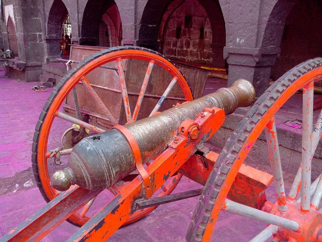
Jyotiba Temple
Near Wadi Ratnagiri in Maharashtra’s Kolhapur district, Jyotiba Temple is a Hindu place of worship. People visit the shrine and its annual fair, held at full moon in Chaitra and Vaishakha.
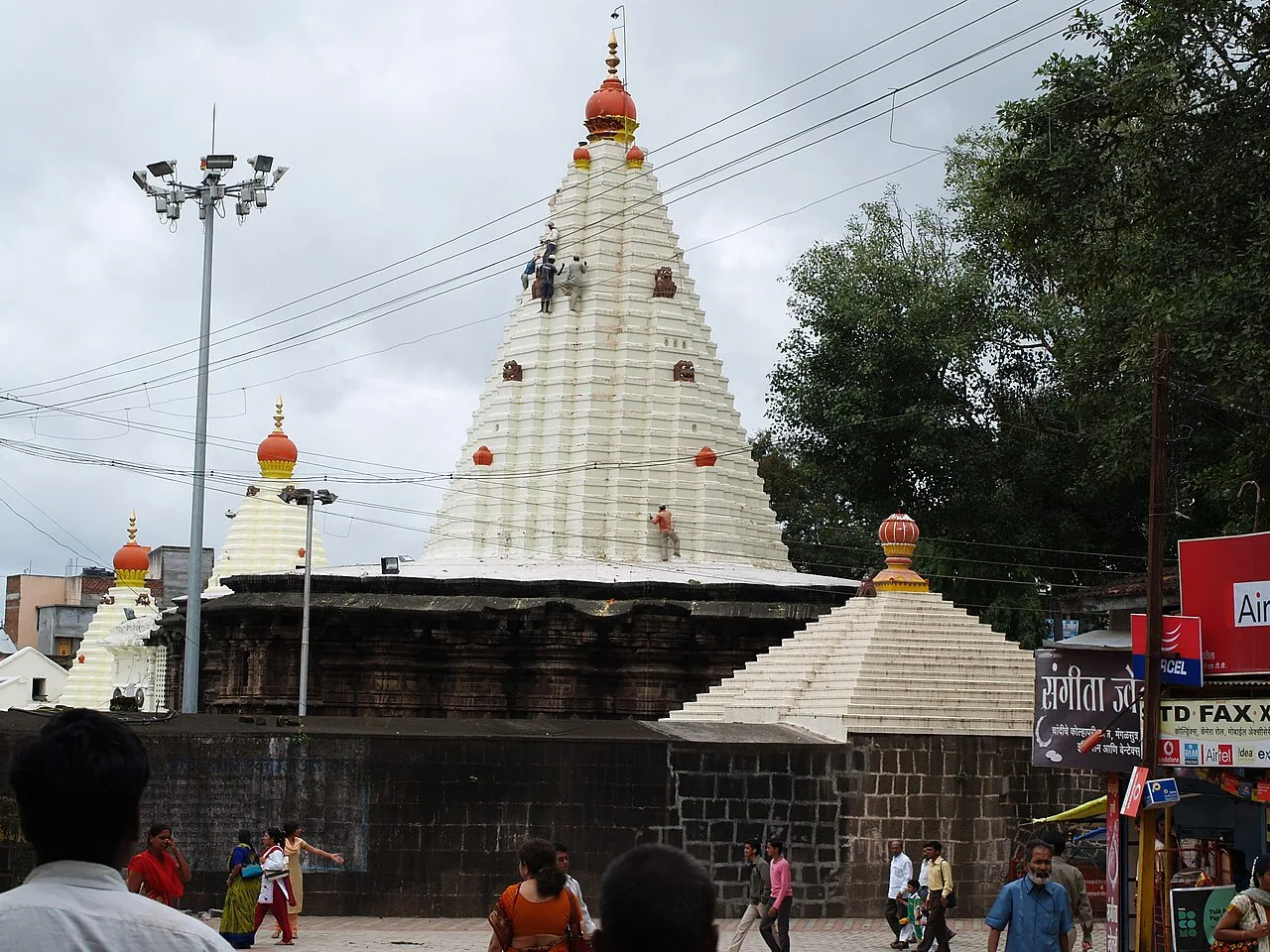
Mahalakshmi Temple, Kolhapur
The Mahalakshmi Temple, also called Ambabai Mandir, is a shrine in Kolhapur district, Maharashtra, dedicated to Goddess Mahalakshmi and visited as part of Hindu pilgrimage.
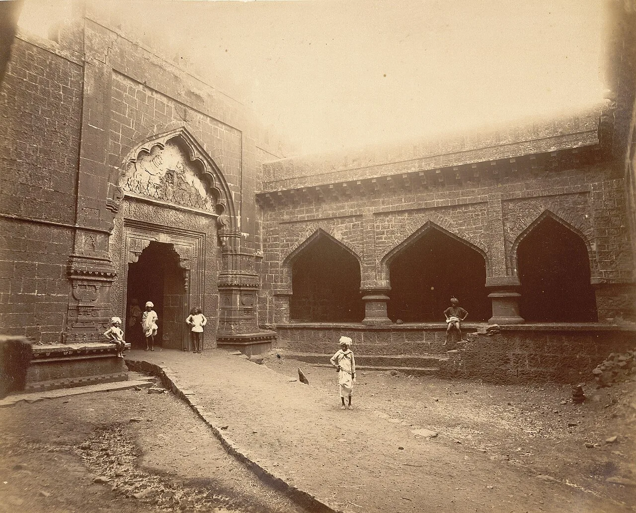
Panhala Fort
Panhala Fort is a hilltop stronghold in Kolhapur district, Maharashtra, overlooking a Western Ghats pass. Visitors come to see its surviving structures and explore its connections with Deccan conflicts and Tarabai.
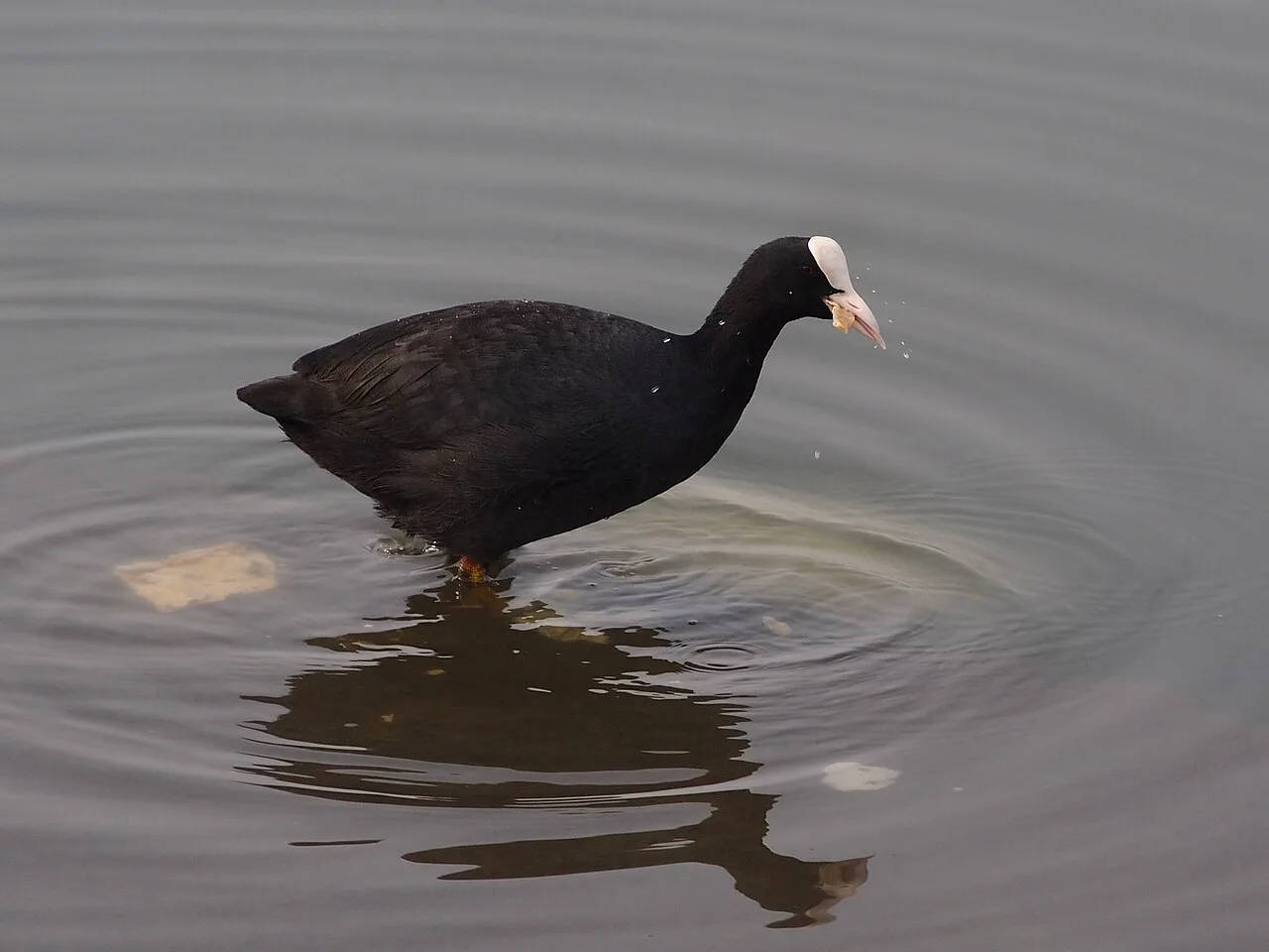
Rankala Lake
Rankala Lake is a freshwater lake in Kolhapur, Maharashtra. Visitors can come to see a lake within the city and spend time beside its waters.
Kolhapuri food is known for robust seasoning, especially in mutton dishes served with tambda rassa, a red, spiced broth, and pandhra rassa, a pale broth often made with coconut. Preparations and heat levels vary between kitchens, so ask before ordering. Misal pav is another familiar choice, while poha, vada pav and vegetable meals provide everyday vegetarian options. Puran poli belongs to the wider Maharashtrian festive repertoire rather than Kolhapur alone. The district is also associated with jaggery production in its sugarcane-growing countryside. At small eateries, ask about the day’s freshly prepared dishes.
Kolhapuri chappals are the district’s best-known craft association: leather sandals made through skilled cutting, stitching and decorative work. The tradition extends beyond Kolhapur into other parts of Maharashtra and Karnataka, so the name should not imply exclusive local manufacture. When shopping, ask where a pair was made and examine its stitching, finish and fit. Kolhapuri saaj, a traditional necklace with multiple decorative pendants, is another recognised jewellery association. Within the district, Ichalkaranji is an important textile centre, although its contemporary production should not be confused with an exclusively handloom tradition.
Navratri draws devotees to Mahalakshmi Temple, and the temple’s seasonal observances can make the surrounding area busy. Jyotiba Temple hosts a large annual fair in the spring, commonly associated with Chaitra; crowds, processions and coloured powder are part of the regional celebration. Ganesh Chaturthi is also observed in towns across the district. During major religious occasions, roads near temples can be congested and accommodation in Kolhapur or near pilgrimage sites may be harder to find. Check local arrangements before travelling during festival periods.
The district spans fertile lowlands around the Panchganga river system and rising terrain along the Sahyadri range. The Panchganga is formed by several local rivers and flows through the Kolhapur basin; hills and forested areas are more prominent toward the Western Ghats, while the eastern parts are generally more open. This varied terrain links city visits with hill destinations such as Panhala and Wadi Ratnagiri. Roads become slower on winding slopes and in heavy rain, so allow extra time for journeys beyond Kolhapur city.
Summer is generally warm, while the monsoon brings substantial rain, particularly toward the Western Ghats; showers can affect road conditions and visibility. Winter is usually milder and more comfortable for sightseeing. October to February is often a convenient period to visit, with relatively settled conditions for combining city, temple and hill trips. Carry light clothing for the city, a warmer layer for evenings or higher ground, and comfortable walking shoes. During the monsoon, pack waterproof clothing and protect belongings from rain. Conditions vary across the district, so check a local forecast before travelling.
Kolhapur Airport serves the city; confirm available routes before planning a flight-based journey. The principal railway station is Kolhapur’s Chhatrapati Shahu Maharaj Terminus. By road, the district is accessible from the Pune–Bengaluru corridor on National Highway 48, with onward roads to Kolhapur city and surrounding towns. State transport and private buses provide intercity options. Auto-rickshaws and taxis are practical for city journeys, while buses or a hired vehicle can help with visits to Panhala and Jyotiba Temple. Check current services locally.
Kolhapur city is a practical transport hub for visits around the district. Auto-rickshaws and taxis are useful for short city journeys, including travel between the central sights; local buses serve routes within the city and connect some surrounding towns. Buses, hired cars or taxis can be used for trips to Panhala and Jyotiba Temple, though service frequency and availability vary. National Highway 48 links the district with the wider Pune–Bengaluru corridor, with local roads branching toward the sights. Check current local services before setting out.
2 days: Mahalakshmi Temple, Rankala Lake, Jyotiba Temple, Panhala Fort; sleep in Kolhapur. 3 days: Mahalakshmi Temple, Rankala Lake (sleep in Kolhapur); Jyotiba Temple (sleep in Kolhapur); Panhala Fort (sleep in Kolhapur).
Kolhapur city is the most practical base for the temple, Rankala Lake and day trips to Jyotiba and Panhala. It has a range of hotels, guesthouses and some homestays. Staying in or near Panhala can suit visitors who want more time around the fort and hill setting, though choices are more limited than in the city. Dharamshalas and other religious accommodation may be available near pilgrimage sites, subject to local arrangements. Confirm availability and suitability in advance, especially during fairs and major temple festivals.
Use care on steep or winding roads around Panhala and Wadi Ratnagiri, particularly during monsoon rain, when surfaces may be slippery and visibility reduced. Follow local advice on weather and road conditions before travelling. Temple areas can be crowded during festivals; keep personal belongings secure and agree on a meeting point if travelling in a group. Drink safe or treated water and take ordinary precautions against heat and rain. Mobile connectivity can be weaker in hilly areas than in the city. The listed sights are established visitor destinations; check local notices for temporary access restrictions.
- Belagavi · Karnatakaabout 103 km
- Sindhudurgabout 110 km
- Ratnagiriabout 120 km
- Sataraabout 137 km
- North Goa · Goaabout 143 km
- Solapurabout 158 km
- South Goa · Goaabout 166 km
Straight-line distance between the centres of each district's destinations; road distance is longer.
Q: How many days should I spend in Kolhapur district? A: Two days can cover the main city sights and a visit to Panhala or Jyotiba; three days allow a more relaxed pace. Q: When is the best time to visit? A: October to February is generally comfortable for sightseeing, while monsoon travel can be affected by rain. Q: Where is the best base? A: Kolhapur city is the most convenient base for the listed sights and has the widest choice of accommodation. Q: How do I get to Kolhapur? A: The city is served by Kolhapur Airport and Chhatrapati Shahu Maharaj Terminus, and is connected by road to National Highway 48. Confirm current services before travelling.
This page draws on our 4 destination guides for Kolhapur and is updated as our team checks it.
Be the first to share photos, stories, advice or a helpful contact for Kolhapur.
Loading…