Ghumoopedia — Explore, Discover, Experience
Sign in
Buxar Fort, near Koath

City guide · Bihar

Koath

Koath is a small notified area in Rohtas district, western Bihar. Its importance is chiefly local: it serves residents of nearby villages with everyday services, shops and connections to larger towns in the district.

Famous for

  • Rohtas district town
  • Local high-school education
  • Rural market connections

Why Koath matters

Koath is a small notified area in Rohtas district, western Bihar. Its importance is chiefly local: it serves residents of nearby villages with everyday services, shops and connections to larger towns in the district. It is not a major sightseeing destination, but it offers a glimpse of the lived-in market-town landscape of rural Bihar.

The town lies at about 73 metres above sea level and is a short distance from a main highway, making road access an important part of its regional role. Koath is also associated with a longstanding educational tradition: a study centre serving local students up to high-school level dates to 1927. Visitors are most likely to come for family, business or local administrative needs, or as part of a wider journey through Rohtas district. Koath’s appeal is therefore less about a landmark attraction and more about its everyday function as a modest centre for the surrounding countryside.
Famous for: crafts, trade & products

Koath is best understood as a local service and trading centre rather than a specialist craft or manufacturing destination. Its shops and small market serve the town and surrounding villages, with everyday goods and household necessities more central to commerce than a widely recognised textile, handicraft or luxury product. No particular Koath-made item or GI-tagged product is firmly associated with the town.

Visitors looking for local shopping can explore the central bazaar and nearby commercial streets, where small retailers and food sellers cater to residents. For a broader selection of goods, larger towns in Rohtas district may offer more options. Koath’s other notable local institution is its tradition of education: a study centre serving the area up to high-school level has been associated with the town since 1927. There is no well-established visitor-facing craft district or dedicated tourist market, so shopping is best approached as an everyday glimpse of local life rather than a search for a signature souvenir.

History

Koath’s documented story is modest, and detailed accounts of its early rulers or major political events are not widely established. Its place in the region is best understood through its role as a small settlement serving the surrounding countryside in what is now Rohtas district, Bihar. The town’s position close to a main road has helped maintain links with nearby communities and larger centres.

An important marker in its local development is education. A study centre serving students up to high-school level is associated with Koath from 1927, indicating that it had a role in the educational life of the area by that time. In modern times, Koath is classified as a notified area. Its growth has remained tied chiefly to local services, schooling, road access and the needs of nearby villages.

Food, festivals & culture

Koath shares the food traditions of rural Bihar. Everyday meals commonly draw on rice or wheat, lentils, seasonal vegetables and sattu; litti with chokha is a familiar regional dish. Local sweet shops and market stalls may offer customary sweets and snacks, though no particular sweet is uniquely associated with Koath.

The annual calendar reflects the wider region. Chhath Puja, observed in autumn, is an important Bihar festival; Holi in spring and Diwali in autumn are also widely celebrated, alongside Eid and other religious observances among local communities. Hindi and Bhojpuri are useful languages for visitors, with Bhojpuri widely heard in everyday conversation across this part of Bihar. Folk songs and seasonal music are part of regional culture, rather than a distinct performance scene for visitors. Worship takes place in neighbourhood temples and mosques, which are part of ordinary community life; visitors should dress respectfully and follow local customs.

Visiting the city

The cooler months, roughly October to March, are generally the most comfortable time to visit; summer can be hot and the monsoon brings rain. Koath is about 3.5 kilometres from a main highway, so road travel is useful for reaching the town and nearby settlements. Koath railway station is the closest rail option. The nearest major airport is Jay Prakash Narayan International Airport in Patna; onward travel is by road or rail.

Within town, short distances are usually covered on foot or by local transport. Explore the central bazaar and surrounding neighbourhood streets for a sense of daily life. Koath is a practical stop rather than a destination with a concentrated cluster of tourist attractions, so allow extra time for onward connections and confirm current transport arrangements locally.

Trips from the city

Nearest places to visit from Koath

Our closest destination guides, by straight-line distance.

Buxar Fort

38 km away · Buxar district

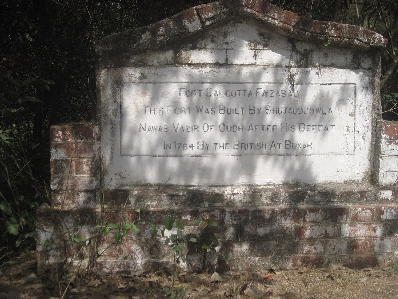
Buxar Fort

Buxar Fort is a fort in Bihar’s Buxar district, founded by King Rudra Deo. Its history and the city’s religious and cultural associations give visitors context for exploring the area.

Tomb of Sher Shah Suri

49 km away · Rohtas district

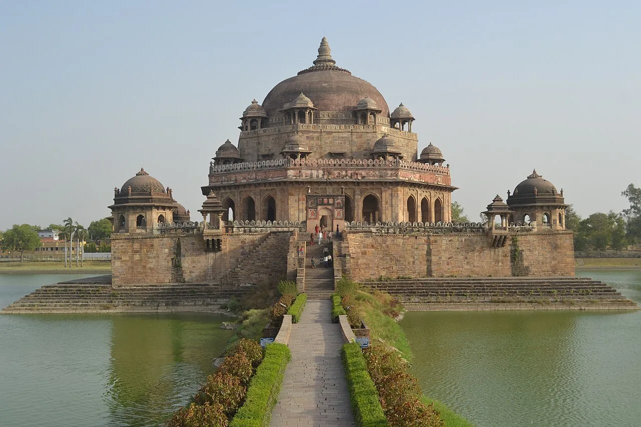
Tomb of Sher Shah Suri

Sher Shah Suri’s mausoleum in Sasaram, Bihar, is noted for its lake setting and distinctive octagonal form. Visitors come to see a major example of Indo-Islamic architecture and an important monument of the region.

Maner

72 km away · Patna district

Maner

Maner, also called Maner Sharif, is a historic town and administrative block in Bihar’s Patna district. Visitors are drawn by its Mughal-era dargahs and its importance as a Sufi pilgrimage destination.

Deo

76 km away · Aurangabad district

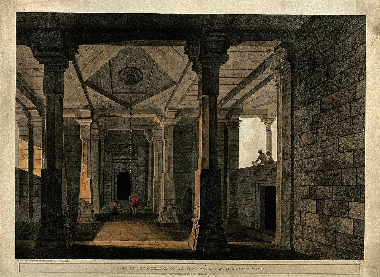
Deo

Deo, also called Dev, is a town and local civic area in Bihar’s Aurangabad district. Visitors seeking the settlement can find it about 10 km southeast of Aurangabad, the district’s administrative centre.

Mundeshwari Temple

80 km away · Kaimur district

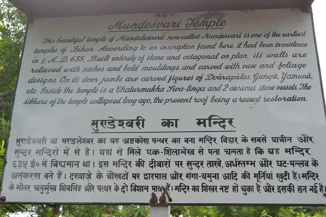
Mundeshwari Temple

Mundeshwari Temple is a Hindu place of worship in Bihar’s Kaimur district, associated with Durga and Shiva. Visitors come to worship and explore its ancient shrine and debated history.

Rohtas Fort

86 km away · Rohtas district

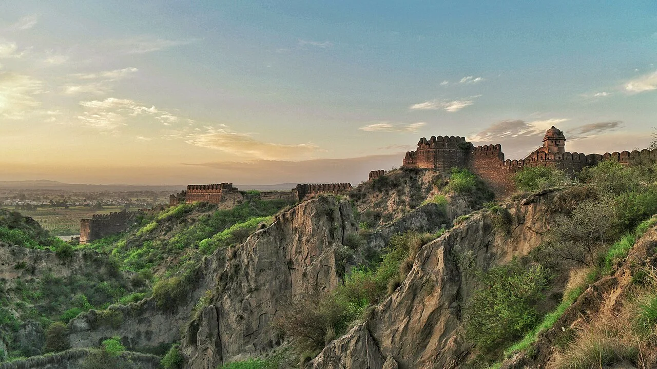
Rohtas Fort

Rohtas Fort, also known as Rohtasgarh, stands in Rohtas town, within Bihar’s Rohtas district. Visitors come to see the fort in its setting in the Son River valley.

Barabar Caves

88 km away · Jehanabad district

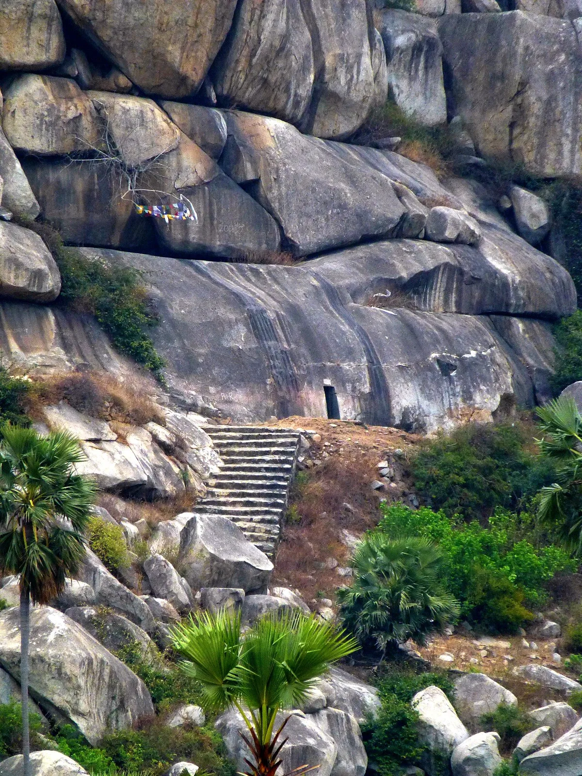
Barabar Caves

This Mauryan-era cave complex in Bihar extends across Barabar and Nagarjuni hills. Visitors come to see its inscriptions, polished granite chambers and early examples of Indian rock-cut architecture.

Patna Zoo

89 km away · Patna district

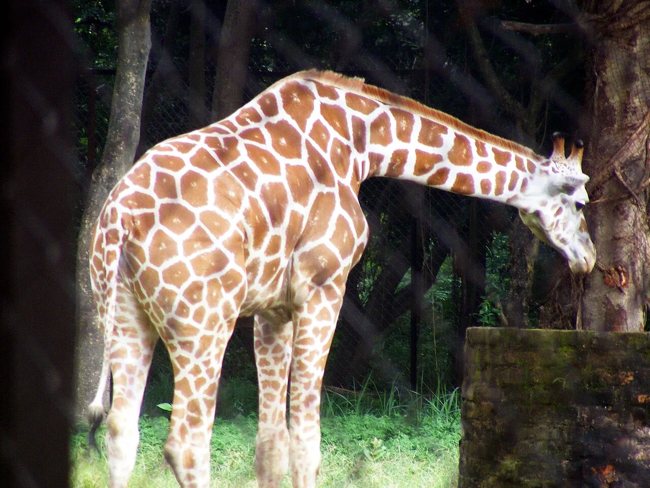
Patna Zoo

Patna Zoo is a zoological park in Bihar’s Patna district, near Bailey Road. People visit for picnics, with particularly large crowds on New Year’s Day.

Map

Koath on the map

  1. 1Buxar Fort
  2. 2Tomb of Sher Shah Suri
  3. 3Maner
  4. 4Deo
  5. 5Mundeshwari Temple
  6. 6Rohtas Fort
  7. 7Barabar Caves
  8. 8Patna Zoo

Bihar

Other cities to explore