Ghumoopedia — Explore, Discover, Experience
Sign in

City guide · Bihar

Araria

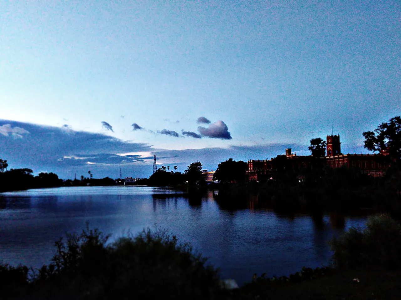
Araria is an administrative and commercial centre in northern Bihar, serving as the headquarters of Araria district. Its markets and public services connect surrounding rural communities, while its location in the eastern part of the state makes it a useful base for exploring the wider region and nearby border areas.

Famous for

  • Mithila-region heritage
  • Araria district headquarters
  • North Bihar market town
  • R-area name tradition

Why Araria matters

Araria is an administrative and commercial centre in northern Bihar, serving as the headquarters of Araria district. Its markets and public services connect surrounding rural communities, while its location in the eastern part of the state makes it a useful base for exploring the wider region and nearby border areas. The city is also associated with Mithila, a region with a long cultural history, though Araria is better understood as a contemporary district town than as a preserved ancient site.

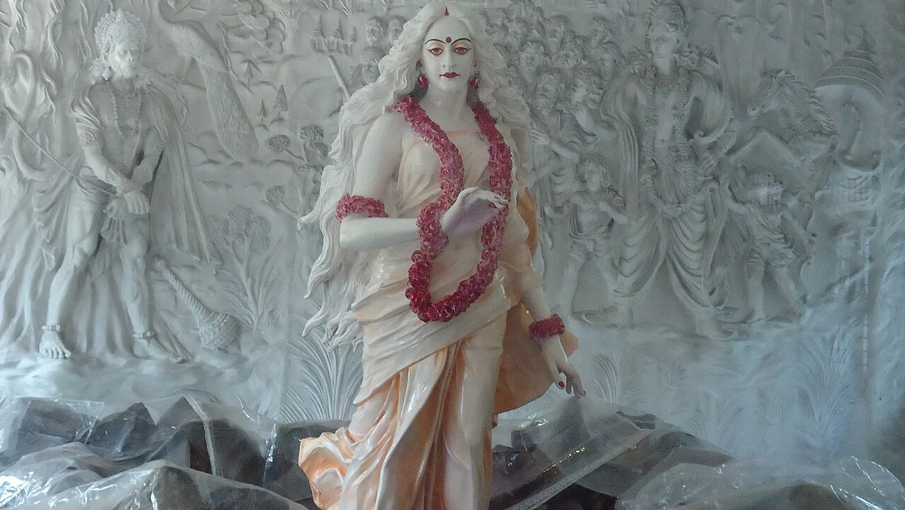
Visitors are drawn chiefly by local life: busy bazaars, places of worship and the food and festivals of the region. The wider district offers religious destinations such as Madanpur Kali Temple, as well as agricultural landscapes and settlements shaped by the rivers and seasonal rains of north Bihar. Araria is not chiefly known for a major monument, resort or specialised craft industry. Its importance lies in its role as a regional service centre and in the cultural and rural settings around it.
Famous for: crafts, trade & products

Araria’s economy is closely connected to the agricultural trade of its hinterland. Paddy, maize and jute are among the crops grown in the wider district, and local markets handle everyday farm produce alongside groceries, clothing, household goods and services. The central bazaars are the most practical places to browse or shop; they serve residents more than visitors seeking a specialised craft market. Products and availability vary with the season.

Araria is not widely established as a centre for a distinctive textile, handicraft or GI-tagged product. Mithila painting belongs to the broader cultural region, but the city should not be presented as a major production hub; specialist art shops elsewhere in Bihar may offer a more reliable selection. Visitors can ask local retailers about regional work, but should expect ordinary town-market shopping rather than a dedicated craft district. There is likewise no single signature manufactured product for which Araria is particularly known. Its strongest commercial identity is as a marketplace and administrative centre for surrounding communities.

History

Araria lies within the cultural region of Mithila, associated in ancient tradition with the Videha kingdom. In the late Vedic period, Videha was an important political and cultural centre, and it later became part of the Vajjika confederacy. These histories describe the wider region; they do not establish that the present town was itself an ancient capital.

A local account traces the name Araria to the British period. Alexander John Forbes, a colonial official, reportedly maintained a bungalow here, and the surrounding “residential area” was shortened to “R-area”; the name is said to have gradually become Araria. Forbesganj is also associated with Forbes. This explanation is commonly repeated but should be treated as a local tradition rather than a certain derivation.

Under British rule the area formed part of the colonial district administration. In modern Bihar, Araria developed as the district headquarters after Araria district was separated from Purnea district in 1990. Its present role is primarily administrative and regional.

Food, festivals & culture

Everyday meals reflect the foodways of north Bihar: rice, lentils, seasonal vegetables, fish and, in many households, wheat or maize-based dishes. Sattu preparations and litti-chokha are familiar Bihar favourites, though Araria is not especially identified with a single signature dish or sweet. Town bakeries and sweet shops sell common regional treats, with selections changing by season and occasion.

Chhath Puja, usually observed in October or November, is a major festival in Bihar and is marked by fasting, family gatherings and offerings to the setting and rising sun. Durga Puja and Diwali fall in autumn, while Holi brings spring celebrations; Eid is observed by the Muslim community according to the lunar calendar. Hindi, Urdu and Maithili are used, alongside local forms of speech. Folk and devotional songs are heard particularly during festivals and family ceremonies. Temples and mosques serve the city’s communities, while Madanpur Kali Temple is a devotional destination elsewhere in the district.

Visiting the city

October to March is generally the most comfortable period to visit, with cooler, drier weather than the monsoon months. Heavy seasonal rain can affect travel across the district, so check local road conditions before setting out. Bagdogra Airport is a commonly used airport for the region; confirm current onward connections. Araria Court railway station is the main rail station serving the city.

Auto-rickshaws and local vehicles are useful for short trips, while hired cars are more practical for visiting sites beyond town. Explore the central bazaar and the streets around the railway station for everyday city life, food and shopping. Madanpur Kali Temple and other rural destinations are better planned as separate district excursions. Araria is a working administrative town, so allow time for local transport rather than expecting a concentrated tourist quarter.

Trips from the city

Nearest places to visit from Araria

Our closest destination guides, by straight-line distance.

Katihar

69 km away · Purnia district

Katihar

Katihar is a major city in Bihar, known for its regional commercial, educational and administrative roles. Travellers also use it as a railway hub linking routes towards North Bengal and the north-east.

Vikramshila University Ruins

94 km away · Bhagalpur district

Vikramshila University Ruins

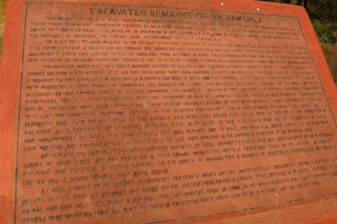
Vikramshila University Ruins mark a major Buddhist centre of learning in Bihar. Visitors come to explore the site and learn about its scholars and place in Buddhist education.

Munger Fort

135 km away · Munger district

Munger Fort

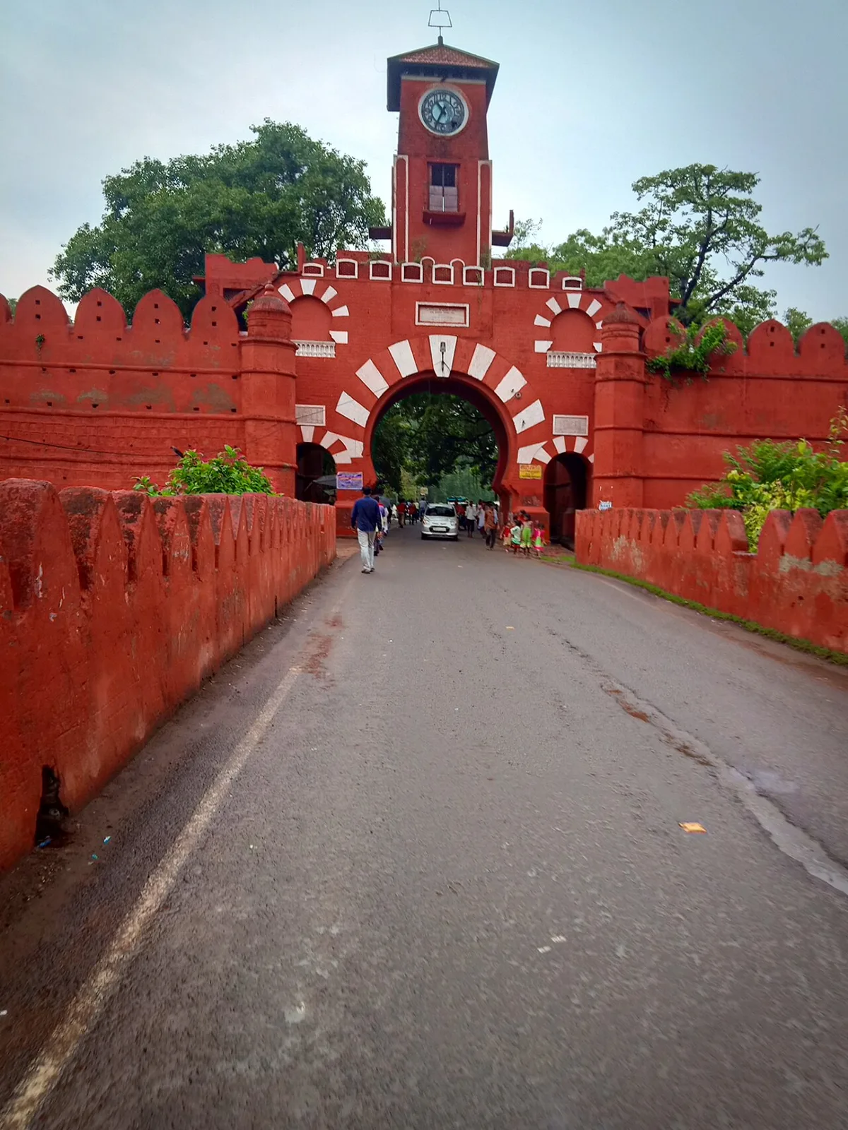
Munger Fort is a historic stronghold in Bihar, set on a rocky rise beside the Ganges. Visitors come to see its tombs, palace, temple, riverside ghat and British-era cemetery.

Madhubani

145 km away · Madhubani district

Madhubani

Madhubani is a city in Bihar’s Mithila region and the headquarters of its district. Visitors may be drawn by its regional identity and administrative importance.

Mandar Hill

153 km away · Bhagalpur district

Mandar Hill

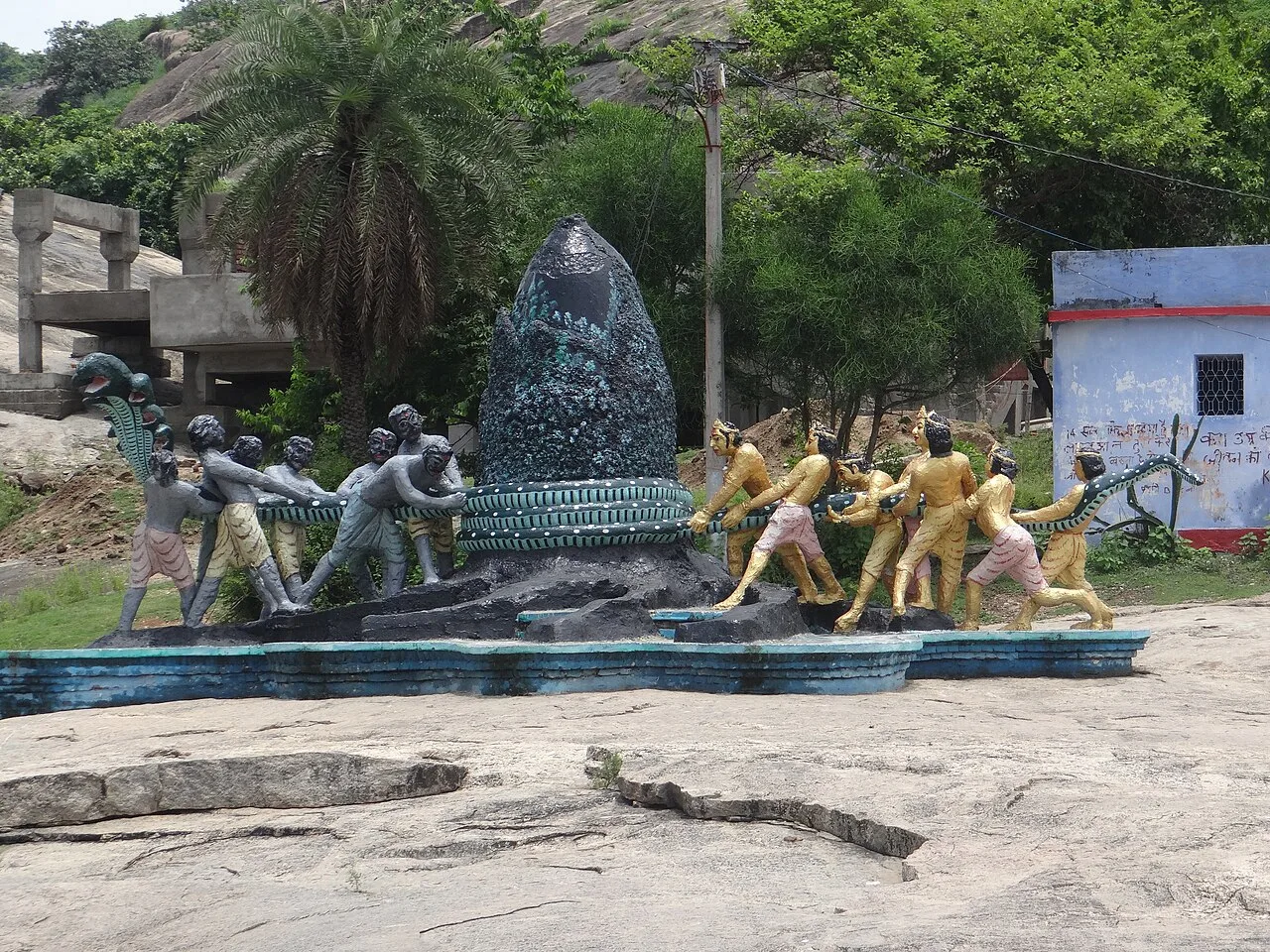
Mandar Hill, also called Mandar Parvat, is a roughly 700-foot hill at Bounsi in Bihar’s Banka district. Hindus and Jains visit it as a place of pilgrimage.

Bhimbandh Wildlife Sanctuary

160 km away · Munger district

Bhimbandh Wildlife Sanctuary

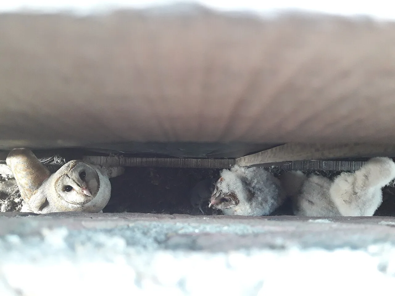
In Bihar’s Munger district, Bhimbandh Wildlife Sanctuary is a sanctuary devoted to wildlife. Visitors come to spend time in this wildlife-focused place in the district’s south-west.

Darbhanga

161 km away · Darbhanga district

Darbhanga

Darbhanga is a major city and municipal corporation in Bihar, serving as the administrative centre of its district and division. Visitors encounter a longstanding centre of Mithila’s cultural, literary and musical traditions.

Sitamarhi

207 km away · Sitamarhi district

Sitamarhi

Sitamarhi is a city in Bihar’s Tirhut Division and the administrative centre of its district. Visitors are drawn by the Hindu tradition linking it to Sītā’s birth.

Map

Araria on the map

  1. 1Katihar
  2. 2Vikramshila University Ruins
  3. 3Munger Fort
  4. 4Madhubani
  5. 5Mandar Hill
  6. 6Bhimbandh Wildlife Sanctuary
  7. 7Darbhanga
  8. 8Sitamarhi

Bihar

Other cities to explore