Ghumoopedia — Explore, Discover, Experience
Sign in

City guide · Maharashtra

Gevrai

Gevrai, also called Georai, is a tehsil town in Maharashtra’s Beed district. Its importance is chiefly regional: it serves nearby settlements with administrative services, shops and transport links, while its surrounding countryside supports farming.

Famous for

  • Beed district tehsil
  • Godavari valley farmland
  • Regional agricultural trade
  • Deccan plateau setting
  • Road connections across Marathwada

Why Gevrai matters

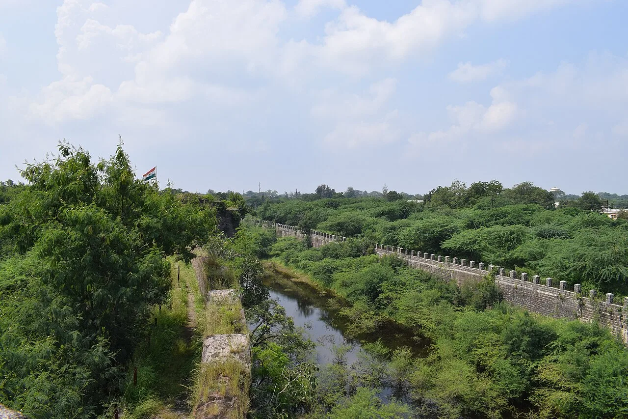
Gevrai, also called Georai, is a tehsil town in Maharashtra’s Beed district. Its importance is chiefly regional: it serves nearby settlements with administrative services, shops and transport links, while its surrounding countryside supports farming. The town lies in the Deccan region, where the Godavari valley’s more fertile land contrasts with drier, gently hilly stretches. This mix shapes both local livelihoods and the landscape around Gevrai.

Road travel is central to the town’s connections, linking it with Beed and other parts of Marathwada as well as routes farther across Maharashtra. Visitors are more likely to stop for local business, a journey through the region or a look at everyday town life than for a major sightseeing circuit. The central bazaar and surrounding streets offer a practical introduction to the area’s commerce and food. Gevrai is best understood as a working district town and a base for exploring nearby rural landscapes, rather than as a destination with a large cluster of established tourist attractions.
Famous for: crafts, trade & products

Gevrai is not widely associated with a distinct textile, handicraft or GI-tagged product. Its local commercial role is more closely tied to everyday retail and the movement of agricultural produce from the surrounding tehsil. The fertile Godavari valley and drier inland areas support varied farming, though crops and market supply change with rainfall and season. For visitors, the town bazaar is the most straightforward place to look for groceries, household goods, snacks and produce brought in from nearby villages.

Shops and small traders are concentrated around the town centre and its main roads. These are useful places to experience routine local commerce, but visitors should not expect a dedicated craft district or a specialised souvenir market. There is likewise no single signature Gevrai food product or textile that is broadly recognised beyond the area. For locally made goods or particular agricultural products, ask at established shops or market stalls about what is in season. Beed and larger regional centres offer a wider choice of shopping and services.

History

Gevrai’s history is best viewed within the wider history of the Beed district and the Marathwada region. The Deccan plateau has long supported settled communities and agriculture, with villages and market centres shaped by access to cultivable land, water and overland routes. The Godavari valley’s productive stretches helped sustain farming, while the surrounding drier terrain influenced settlement and local trade.

Before Indian independence, Marathwada formed part of the princely state of Hyderabad, ruled by the Nizam. The region became part of India in 1948 and was incorporated into Maharashtra when the state was formed in 1960. Gevrai developed as a local administrative and commercial centre within Beed district, serving the town and nearby villages. Improved road connections strengthened its role as a stop on regional journeys and as a place to access services and markets. Its modern growth has remained closely linked to its tehsil functions, surrounding agriculture and position on routes connecting settlements across Marathwada.

Food, festivals & culture

Daily life in Gevrai reflects the food and customs of the Beed district and wider Marathwada. Meals commonly draw on familiar Maharashtrian staples such as bhakri, vegetables, lentils and rice; pithla and zunka are also common regional choices. Puran poli and other sweets may appear during festivals, though no particular sweet is uniquely associated with the town. Small eateries and local shops are good places to find everyday meals and snacks.

Marathi is the main language of daily life; Urdu and Hindi are also heard or understood by some residents. Ganeshotsav, usually in the monsoon season, and Gudi Padwa in spring are among the Hindu celebrations observed locally. Diwali in autumn and Holi near the end of winter are also part of the annual calendar, alongside Eid celebrations in the Muslim community. Temples and mosques serve local worshippers. Bhajans, kirtan and devotional music are part of religious gatherings, while seasonal celebrations bring families and neighbours together.

Visiting the city

The cooler months, roughly October to February, are generally the most comfortable for visiting. Summers are long and can be very hot, especially in May; monsoon rain usually falls from July to September but can be irregular. Chhatrapati Sambhajinagar Airport is the nearest major airport. Jalna is a practical main railway station for reaching the area; check current rail connections and onward road travel before setting out.

Buses and road transport connect Gevrai with Beed and other regional towns. Within town, auto-rickshaws and local vehicles are useful for short journeys. The central bazaar and streets around the main commercial roads are the easiest areas to explore on foot. For a sense of the wider setting, take a road trip into the surrounding villages and Godavari valley countryside, arranging local transport where needed.

Trips from the city

Nearest places to visit from Gevrai

Our closest destination guides, by straight-line distance.

Bibi Ka Maqbara

84 km away · Chhatrapati Sambhajinagar district

Bibi Ka Maqbara

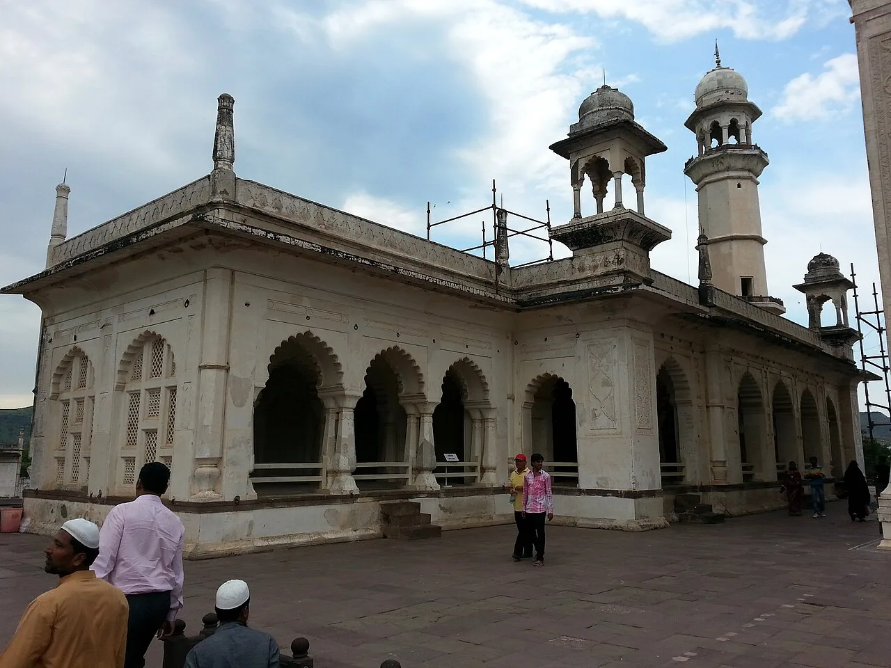
Bibi Ka Maqbara is a Mughal mausoleum in Aurangabad, Maharashtra, built for Dilras Banu Begum. Visitors come to see its resemblance to the Taj Mahal and its place in the region’s history.

Aurangabad Caves

86 km away · Chhatrapati Sambhajinagar district

Aurangabad Caves

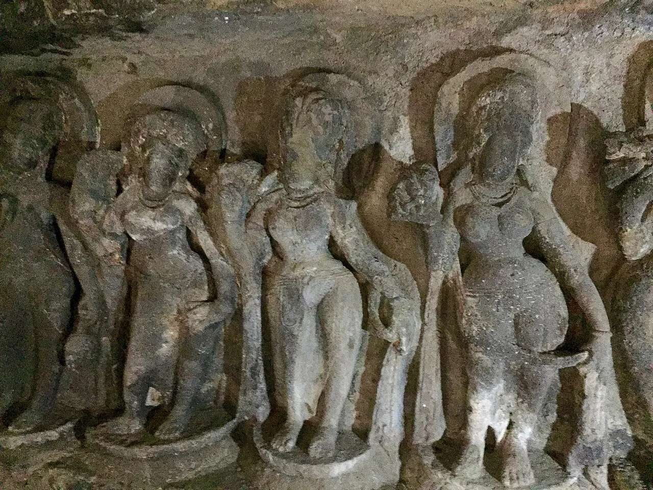
Near Aurangabad in Maharashtra, this hill complex contains twelve Buddhist sanctuaries excavated in basalt. Visitors explore its cave architecture and carvings, which represent several Buddhist traditions and include a range of deities.

Daulatabad Fort

94 km away · Chhatrapati Sambhajinagar district

Daulatabad Fort

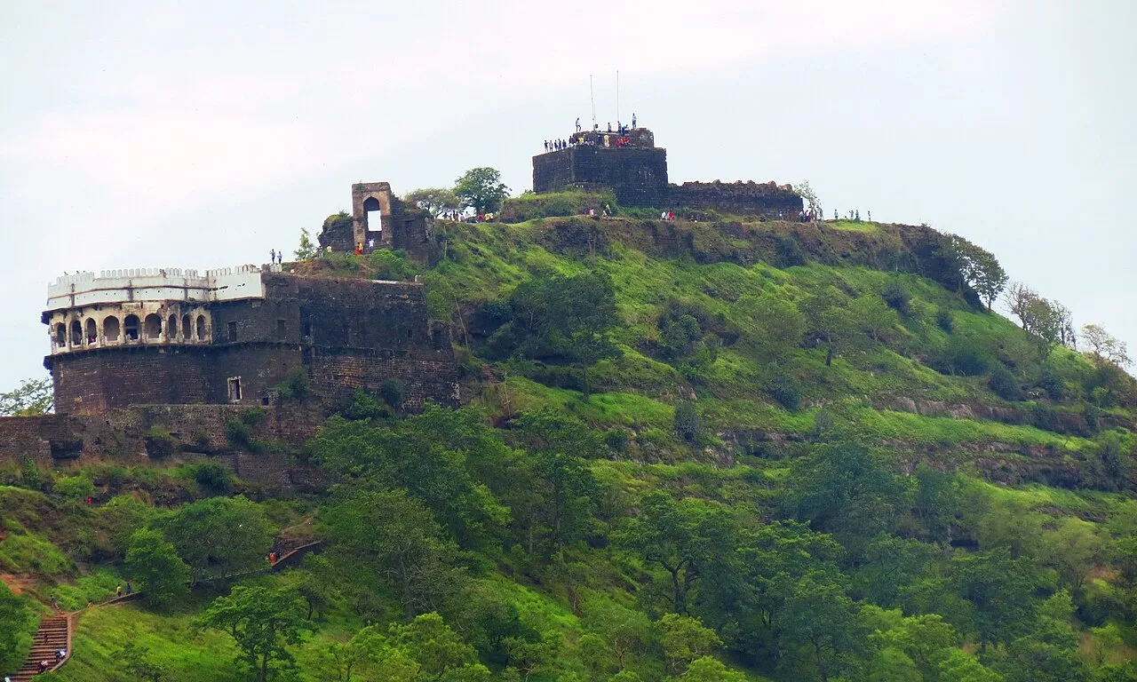
Daulatabad Fort is a historic stronghold in Maharashtra, first known as Devagiri. Visitors explore its history as a Yadava seat, briefly a Delhi Sultanate capital, and later an Ahmadnagar centre.

Shri Vaijnath Temple

95 km away · Beed district

Shri Vaijnath Temple

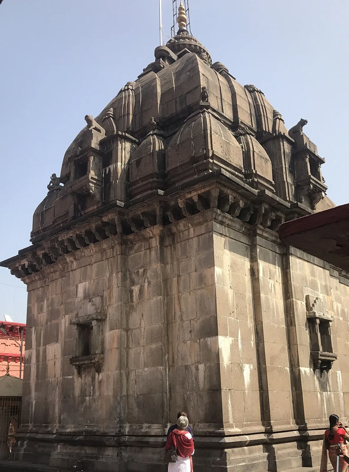
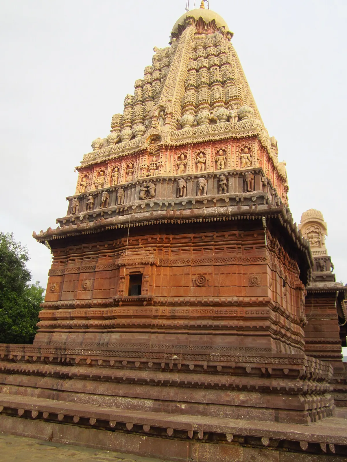
Shri Vaijnath Temple is a Shiva shrine at Parli Vaijnath in Maharashtra’s Beed district. Worshippers visit to perform abhishekam, and the temple is regarded as the fifth of Shiva’s twelve Jyotirlingas.

Shani Shingnapur

99 km away · Ahilyanagar district

Shani Shingnapur

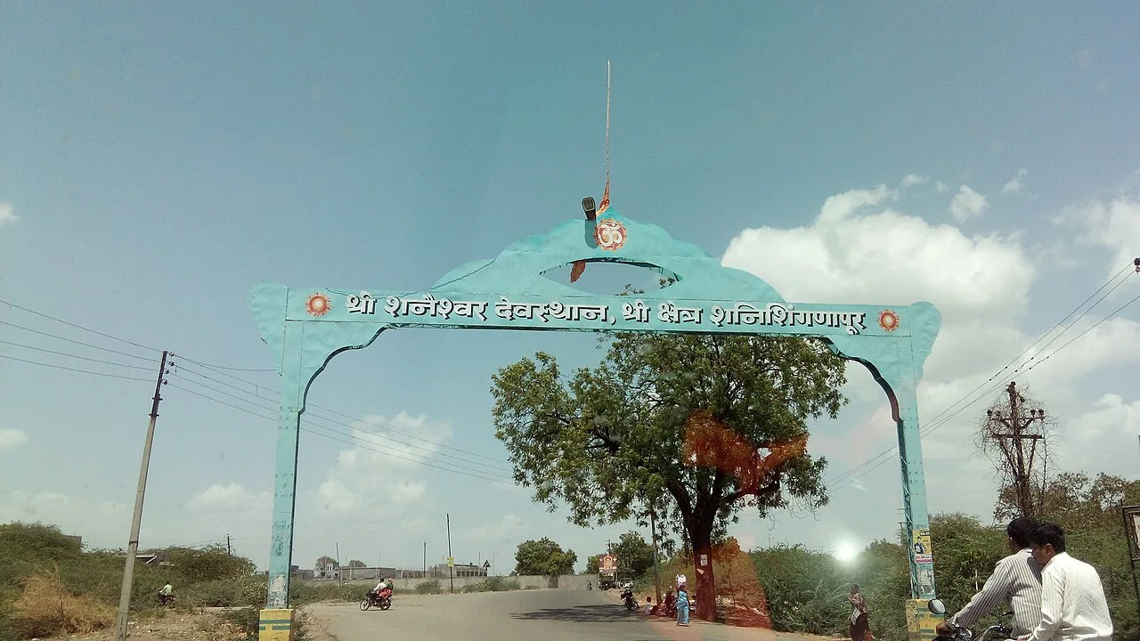
In Maharashtra, Shani Shingnapur is a village visited for its temple to Shani, the Hindu deity linked to the graha Saturn.

Ellora Caves

104 km away · Chhatrapati Sambhajinagar district

Ellora Caves

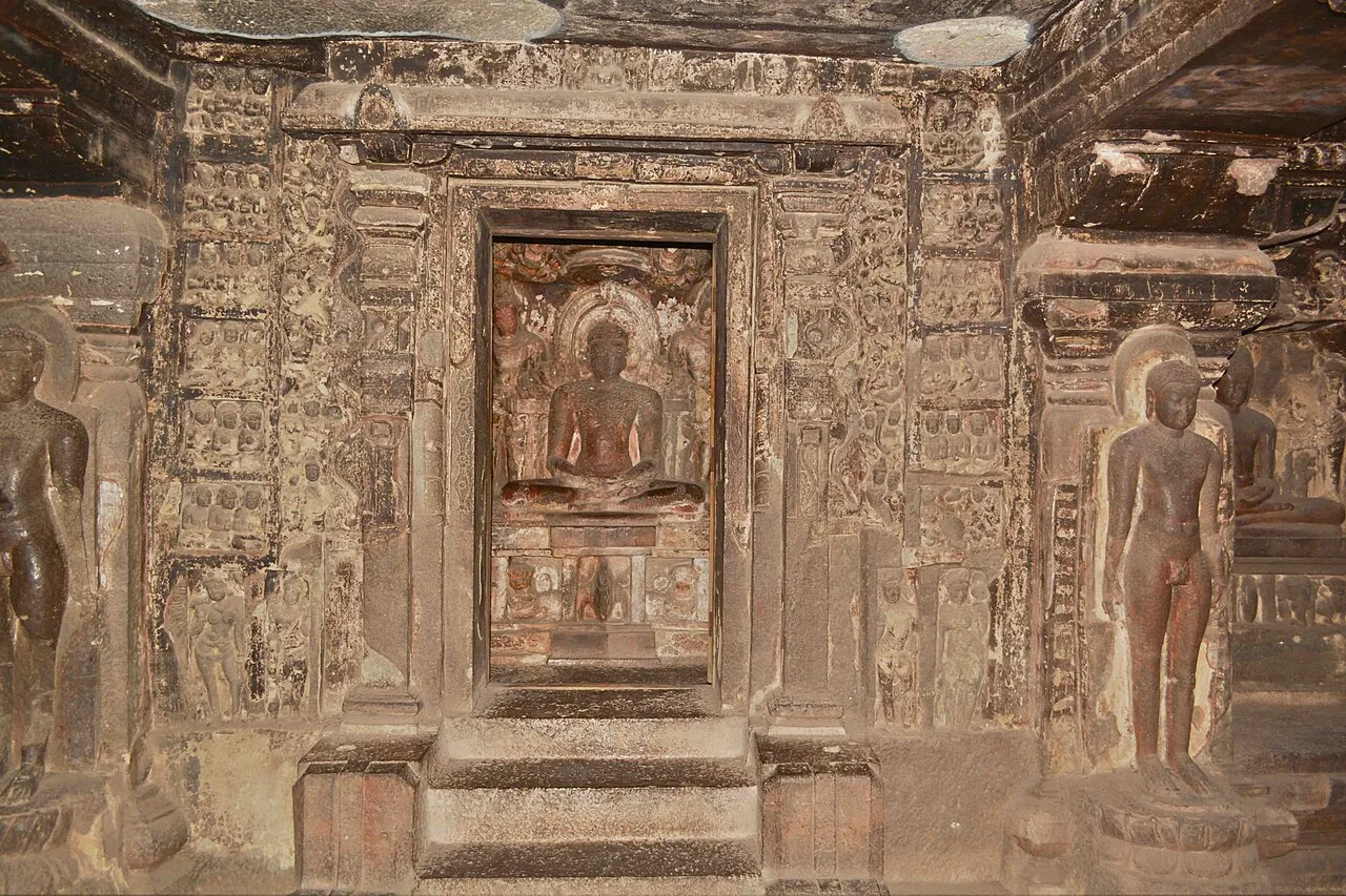
Ellora, in Maharashtra’s Chhatrapati Sambhajinagar district, is a UNESCO World Heritage Site. Visitors explore its Hindu, Buddhist and Jain monuments, including the remarkable Kailash temple carved from rock.

Ghrishneshwar Temple

104 km away · Chhatrapati Sambhajinagar district

Ghrishneshwar Temple

Ghrishneshwar Temple is a Shiva shrine in Verul, Maharashtra, and one of the twelve Jyotirlingas. Visitors come to worship Shiva at this nationally protected temple.

Ahmednagar Fort

106 km away · Ahilyanagar district

Ahmednagar Fort

Ahmednagar Fort, in Maharashtra, is a historic stronghold associated with the Ahmednagar Sultanate, the 1803 Anglo-Maratha conflict and imprisonment under British rule, making it a point of historical interest.

Map

Gevrai on the map

  1. 1Bibi Ka Maqbara
  2. 2Aurangabad Caves
  3. 3Daulatabad Fort
  4. 4Shri Vaijnath Temple
  5. 5Shani Shingnapur
  6. 6Ellora Caves
  7. 7Ghrishneshwar Temple
  8. 8Ahmednagar Fort

Maharashtra

Other cities to explore