Ghumoopedia — Explore, Discover, Experience
Sign in
Matheran, near Karjat

City guide · Maharashtra

Karjat

Karjat is a town in Raigad district, on the eastern edge of the Mumbai Metropolitan Region. Its railway station links the town with Mumbai and Pune, while the Ulhas River runs through the area.

Famous for

  • Ulhas River
  • Monsoon trekking
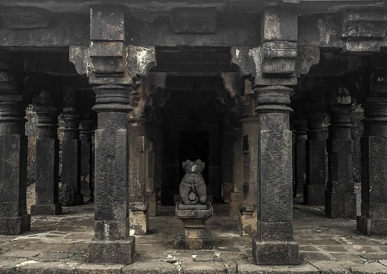
  • Kondana Buddhist Caves
  • Kothaligad (Peth Fort)
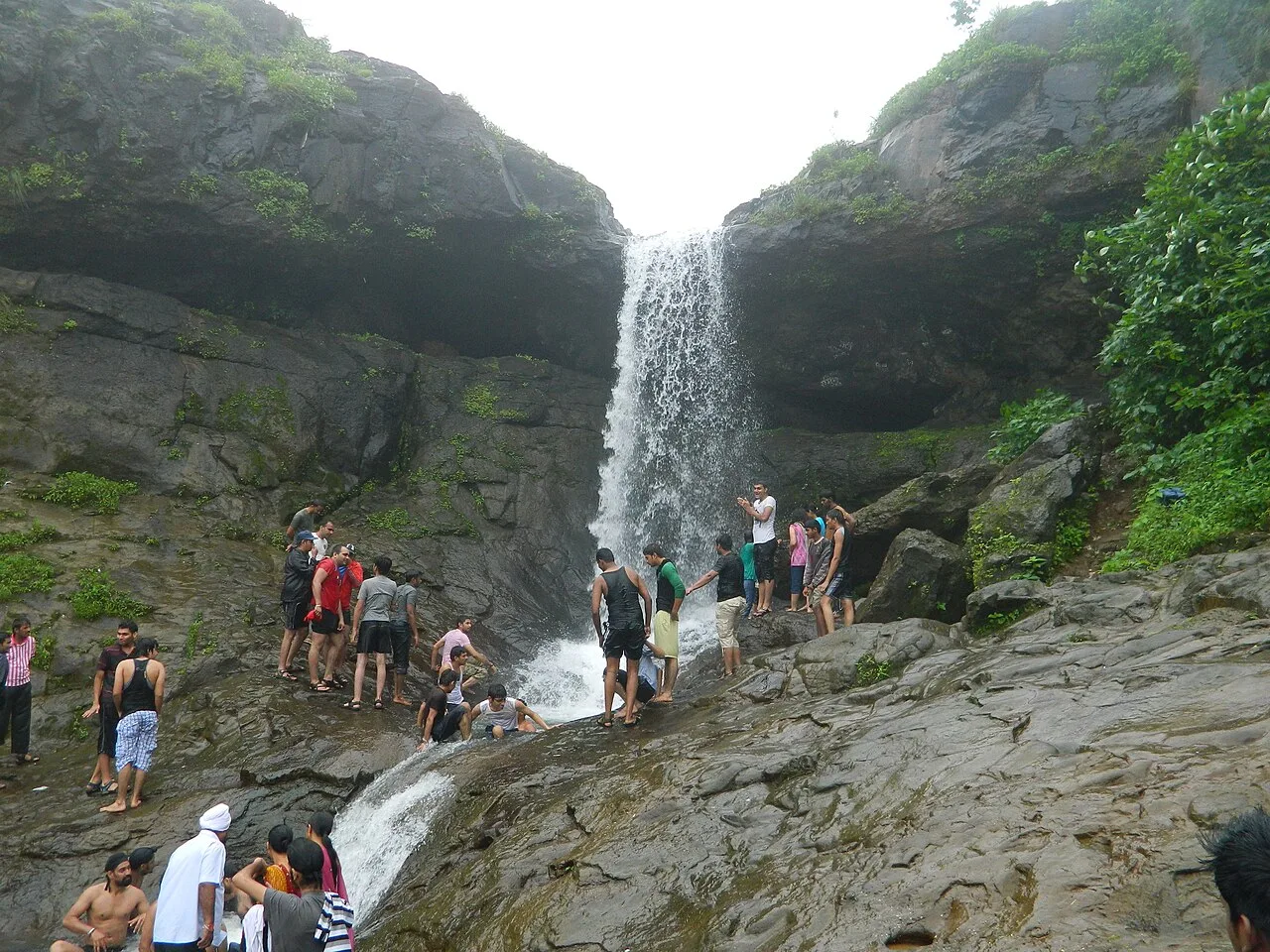
  • Bhivpuri waterfalls
  • Mumbai–Pune rail junction

Why Karjat matters

Karjat is a town in Raigad district, on the eastern edge of the Mumbai Metropolitan Region. Its railway station links the town with Mumbai and Pune, while the Ulhas River runs through the area. This combination of rail access and a green, hilly setting makes Karjat both a regional service centre and a popular short-break destination. Visitors come for river scenery, monsoon waterfalls and treks in the surrounding Sahyadri foothills.

The town is also a convenient base for exploring nearby places such as the Kondana Buddhist Caves and Kothaligad, also called Peth Fort. These excursions are outside the town centre, so travellers should allow time for local road journeys and, for some routes, a walk. Karjat is not a major monument city or a destination known for a particular craft; its appeal lies in easy access to nature, outdoor activities and a quieter pace than the larger cities it connects. The railway, road links and visitor economy continue to shape its role in the region.
Famous for: crafts, trade & products

Karjat is better known for its setting and access to outdoor destinations than for a signature textile, handicraft or manufactured product. It does not have a widely recognised local saree tradition or a major GI-tagged product associated specifically with the town. Visitors looking for a particular craft or branded regional speciality should not assume that Karjat has a dedicated market for one.

The town’s shops and market area serve residents and visitors with everyday groceries, snacks and travel essentials. Local and seasonal agricultural produce may be available through neighbourhood vendors, though selection varies. Restaurants and small food outlets are a more practical way to sample familiar Maharashtrian dishes than to seek out a single celebrated Karjat product. Hospitality, transport and services linked to weekend tourism are visible parts of the local economy, alongside the needs of nearby settlements. For shopping, explore the town centre around the railway station; for outdoor equipment or a wider choice of goods, travellers may find larger urban centres better supplied. Check locally for current produce and services rather than expecting a specialist craft bazaar.

History

Karjat’s position between the Konkan coast and the Deccan plateau has long made the surrounding landscape a route through the Western Ghats. Nearby Kondana contains Buddhist rock-cut caves, evidence of early religious and travel networks in the region. The caves are a heritage site outside the town itself, and their history should be distinguished from the development of modern Karjat.

Karjat grew more substantially as railways and roads connected the Bombay region with Pune and the inland plateau. Under British rule, the railway through the ghats made the station an important point on this route. In later decades, improved regional connections supported the growth of the town as a local service centre. Its inclusion in the Mumbai Metropolitan Region and its position in Raigad district have reinforced links with the larger urban corridor. Today, transport, nearby settlements and weekend visitors all contribute to Karjat’s changing character. Its modern story is chiefly one of connectivity and regional growth rather than that of a former royal capital.

Food, festivals & culture

Marathi is the principal language of everyday life, and Hindi and English are also understood in many visitor-facing settings. Food is broadly Maharashtrian: eateries serve dishes such as misal, vada pav, bhakri and pithla, with familiar sweets and snacks available in town. Ukadiche modak are especially associated with Ganesh Chaturthi, which usually falls in the monsoon season. Ganesh festivities bring household and community worship, while Diwali in autumn and Holi near the end of winter are also widely observed. Dates vary each year according to the calendar.

Religious life includes local Hindu temples and shrines, alongside the area’s older Buddhist heritage represented by the Kondana caves. The caves are primarily an archaeological and heritage destination, not a regular place for contemporary Buddhist worship. Music and dance at festivals generally reflect wider Maharashtrian traditions, including devotional singing and performances at community events. Karjat’s cultural rhythm is shaped by local residents as well as weekend visitors, so festival activity and public events can vary between neighbourhoods and years.

Visiting the city

October to February is generally comfortable for exploring and walking. The monsoon, roughly June to September, brings lush scenery and waterfalls, but trails can be slippery and river conditions may change quickly; check local advice before setting out. The nearest major airport is Chhatrapati Shivaji Maharaj International Airport in Mumbai. Karjat railway station is the town’s main rail gateway and connects it with the Mumbai–Pune corridor.

Auto-rickshaws and local taxis are useful for getting around, while a hired vehicle can make trips to nearby trailheads easier. Explore the town centre and railway-station area for food and everyday services, then plan separate outings to Kondana Caves, Bhivpuri or Kothaligad. These attractions are in the surrounding region rather than all within walking distance of the centre. Wear suitable footwear and check access conditions before trekking.

Trips from the city

Nearest places to visit from Karjat

Our closest destination guides, by straight-line distance.

Matheran

10 km away · Raigad district

Matheran

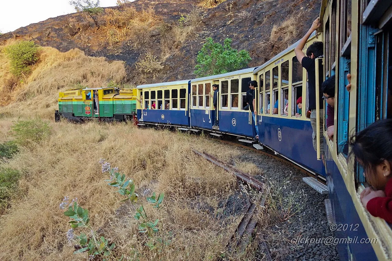
Matheran is a hill town in Maharashtra’s Raigad district, known for its limited motor traffic, Western Ghats setting and preserved colonial-era buildings.

Rajmachi

12 km away · Pune district

Rajmachi

Rajmachi is a historic fort in Pune district, Maharashtra, set in the Sahyadri hills. Visitors come to see its paired strongholds, Shriwardhan and Manaranjan, and the surrounding plateau.

Lonavala

20 km away · Pune district

Lonavala

Lonavala, part of the Lonavala-Khandala hill station in Pune district, is a municipal council. People visit for its chikki and its location on rail and road routes between Mumbai and Pune.

Karla Caves

21 km away · Pune district

Karla Caves

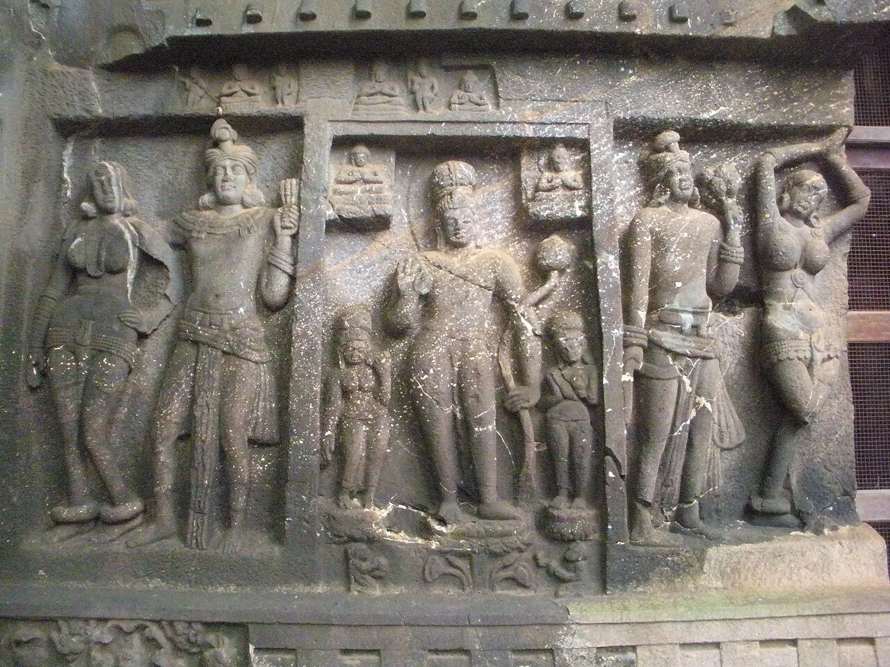
Karla Caves is an ancient Buddhist cave complex near Lonavala in Maharashtra. Visitors come to see its Grand Chaitya, notable for its scale and surviving sculpture.

Bhaja Caves

26 km away · Pune district

Bhaja Caves

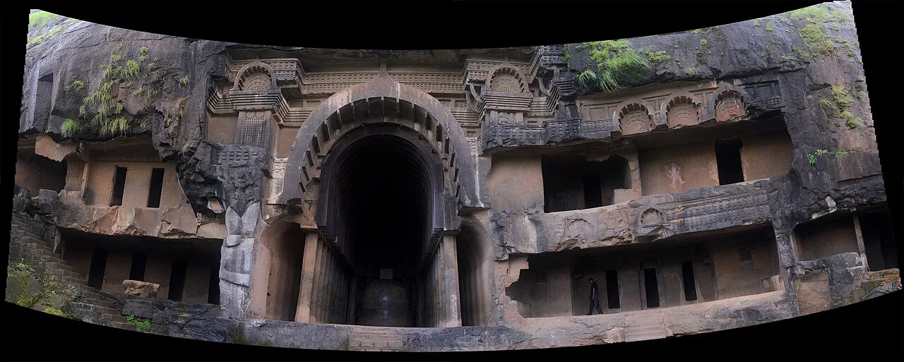
Bhaja Caves is a group of 22 Buddhist rock-cut caves in Pune district, Maharashtra. Visitors explore its stupas, early chaitya architecture and carvings, including a scene of a woman playing the tabla.

Lohagad

28 km away · Pune district

Lohagad

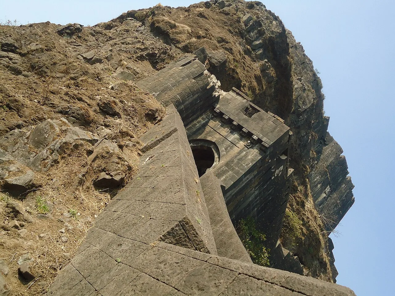
Lohagad is a hill fort in Pune district, Maharashtra, near Lonavala. Visitors come to see its historic setting and learn about its successive periods of rule.

Bhimashankar Temple

29 km away · Pune district

Bhimashankar Temple

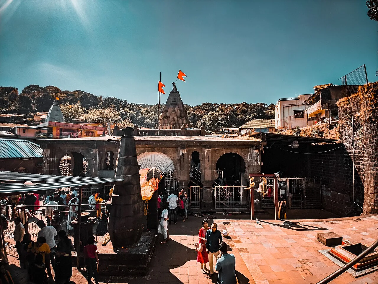
In Pune district, Maharashtra, Bhimashankar Temple is a Shiva shrine and one of the twelve Jyotirlinga sites, attracting pilgrims to its mountain location.

Elephanta Caves

42 km away · Raigad district

Elephanta Caves

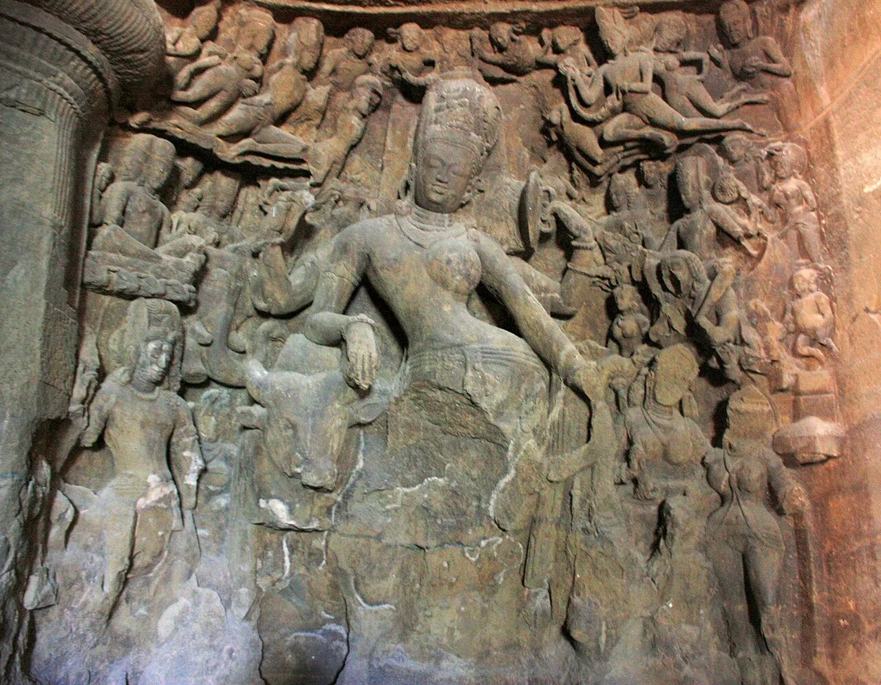
Elephanta Caves is a group of rock-cut temples on Gharapuri Island, chiefly associated with Shiva. Visitors come to see its carved panels and monumental images, recognised by UNESCO as a World Heritage Site.

Map

Karjat on the map

  1. 1Matheran
  2. 2Rajmachi
  3. 3Lonavala
  4. 4Karla Caves
  5. 5Bhaja Caves
  6. 6Lohagad
  7. 7Bhimashankar Temple
  8. 8Elephanta Caves

Maharashtra

Other cities to explore