Ghumoopedia — Explore, Discover, Experience
Sign in
Ajanta Caves, near Varangaon

City guide · Maharashtra

Varangaon

Varangaon is a town in Bhusawal taluka of Jalgaon district, in Maharashtra’s Khandesh region. Its importance today comes less from sightseeing than from its industrial and transport roles: the town is home to an ordnance factory that produces gunpowder and related defence materials, and its railway station lies on the Mumbai–Howrah route.

Famous for

  • Ordnance manufacturing
  • Bhogvati River
  • Hatnur Dam
  • Mumbai–Howrah rail corridor

Why Varangaon matters

Varangaon is a town in Bhusawal taluka of Jalgaon district, in Maharashtra’s Khandesh region. Its importance today comes less from sightseeing than from its industrial and transport roles: the town is home to an ordnance factory that produces gunpowder and related defence materials, and its railway station lies on the Mumbai–Howrah route. These connections make Varangaon a working town with links to the wider district and to major rail destinations across India.

The Bhogvati River runs through Varangaon and joins the Tapi near Bhusawal. Hatnur Dam, on the Tapi about 11 kilometres north of town, is an important local water source and a nearby landmark. Visitors are most likely to come for local connections, work or a short stop while travelling through the Bhusawal area. Varangaon is not primarily a resort or heritage destination; its appeal is in seeing a quieter industrial town within the broader landscape of Khandesh, with river and dam surroundings close by. Bhusawal and Jalgaon offer additional services and onward travel options.
Famous for: crafts, trade & products

Varangaon is best known for its ordnance factory, part of India’s defence manufacturing network. The facility produces gunpowder and related military products for the armed forces. It is an industrial institution rather than a visitor attraction, and access to factory premises is restricted; travellers should not expect public tours or retail sales there.

The town does not have a widely established identity for a particular textile, handicraft, GI-tagged product or specialty market. Everyday shopping is centred on local shops and services, while Bhusawal and Jalgaon provide broader markets for clothing, household goods and regional produce. Khandesh food products and agricultural goods may be encountered in ordinary local trade, but Varangaon is not especially known as a dedicated craft-shopping destination. Its other notable connections are practical: Varangaon railway station serves the Mumbai–Howrah rail corridor, and the Bhogvati River and nearby Hatnur Dam shape the town’s local geography and water supply. Visitors seeking district-level shopping or a wider choice of businesses can look to Bhusawal or Jalgaon rather than expecting specialist bazaars in Varangaon.

History

Varangaon’s story is closely tied to the history of Khandesh, the wider region around Jalgaon and Bhusawal. Over the centuries, Khandesh came under the authority of the Faruqi rulers, the Mughals, the Marathas and, later, the British. These were regional shifts in power; Varangaon is not widely known as the seat of a major dynasty, and detailed accounts of the town’s early development are limited.

In the modern period, transport and industry became central to Varangaon’s character. Its position on the Mumbai–Howrah railway corridor connected it to larger centres, especially nearby Bhusawal. The establishment of an ordnance factory brought a significant defence-manufacturing role and helped distinguish the town within the district. The Bhogvati River and Hatnur Dam also form part of the practical landscape of contemporary life, supporting local water needs. Today Varangaon remains a working town whose identity is shaped more by rail access and industry than by a major concentration of historic monuments.

Food, festivals & culture

Marathi is the principal language of everyday life in Varangaon, with Hindi also understood and used. The town shares many customs with the surrounding Khandesh region. Home cooking commonly draws on bhakri, lentils and seasonal vegetables; dishes such as pithla, zunka and spicy local curries are familiar across the region. Khandesh-style bharit, made with roasted brinjal, is another regional favourite. These are regional foods rather than dishes unique to Varangaon, and meals vary between households and seasons.

Ganeshotsav and Navratri bring community gatherings, devotional music and local celebrations, usually during the monsoon and early autumn respectively. Diwali is marked in autumn, while Holi and Gudi Padwa are also observed. Religious life includes neighbourhood places of worship, though Varangaon is not known for a major pilgrimage temple. Marathi devotional songs and popular film music are heard at celebrations; local dance and performance traditions are generally part of community and festival events rather than formal tourist shows. For a broader range of cultural venues and regional events, nearby Bhusawal and Jalgaon are the main district centres.

Visiting the city

The cooler months, roughly October to February, are generally the most comfortable time to visit. Summers can be very hot, while monsoon weather may affect road travel. Jalgaon Airport is the nearest airport commonly used for onward travel; from there, continue by road. Varangaon railway station is the town’s own rail stop on the Mumbai–Howrah corridor. Bhusawal Junction, a larger station nearby, offers another useful connection.

Auto-rickshaws and local road transport are practical for getting around town; arrange a car or taxi for the dam and nearby places. The central town area is useful for everyday shops and services, while the Bhogvati riverfront offers a simple look at the local landscape. Hatnur Dam lies about 11 kilometres north. It is an operational water structure, not a developed visitor complex, so check local access conditions and respect restricted areas, especially around the ordnance factory.

Trips from the city

Nearest places to visit from Varangaon

Our closest destination guides, by straight-line distance.

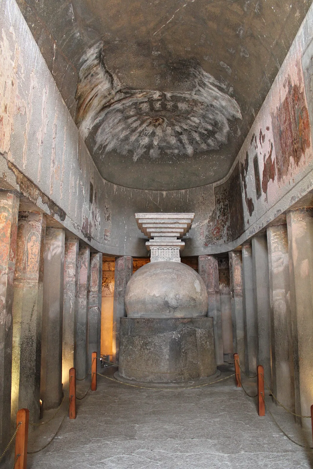
Ajanta Caves

56 km away · Chhatrapati Sambhajinagar district

Ajanta Caves

Ajanta is a group of 30 Buddhist caves in Maharashtra, known for its ancient paintings, sculptures and religious architecture. Visitors come to explore the site’s artistic and monastic heritage.

Lonar Lake

132 km away · Buldhana district

Lonar Lake

Lonar Lake is a saline, soda-rich lake in Maharashtra’s Buldhana district, set within a meteorite-impact crater. Visitors come to see its unusual geological formation and recognised conservation status.

Ellora Caves

134 km away · Chhatrapati Sambhajinagar district

Ellora Caves

Ellora, in Maharashtra’s Chhatrapati Sambhajinagar district, is a UNESCO World Heritage Site. Visitors explore its Hindu, Buddhist and Jain monuments, including the remarkable Kailash temple carved from rock.

Ghrishneshwar Temple

135 km away · Chhatrapati Sambhajinagar district

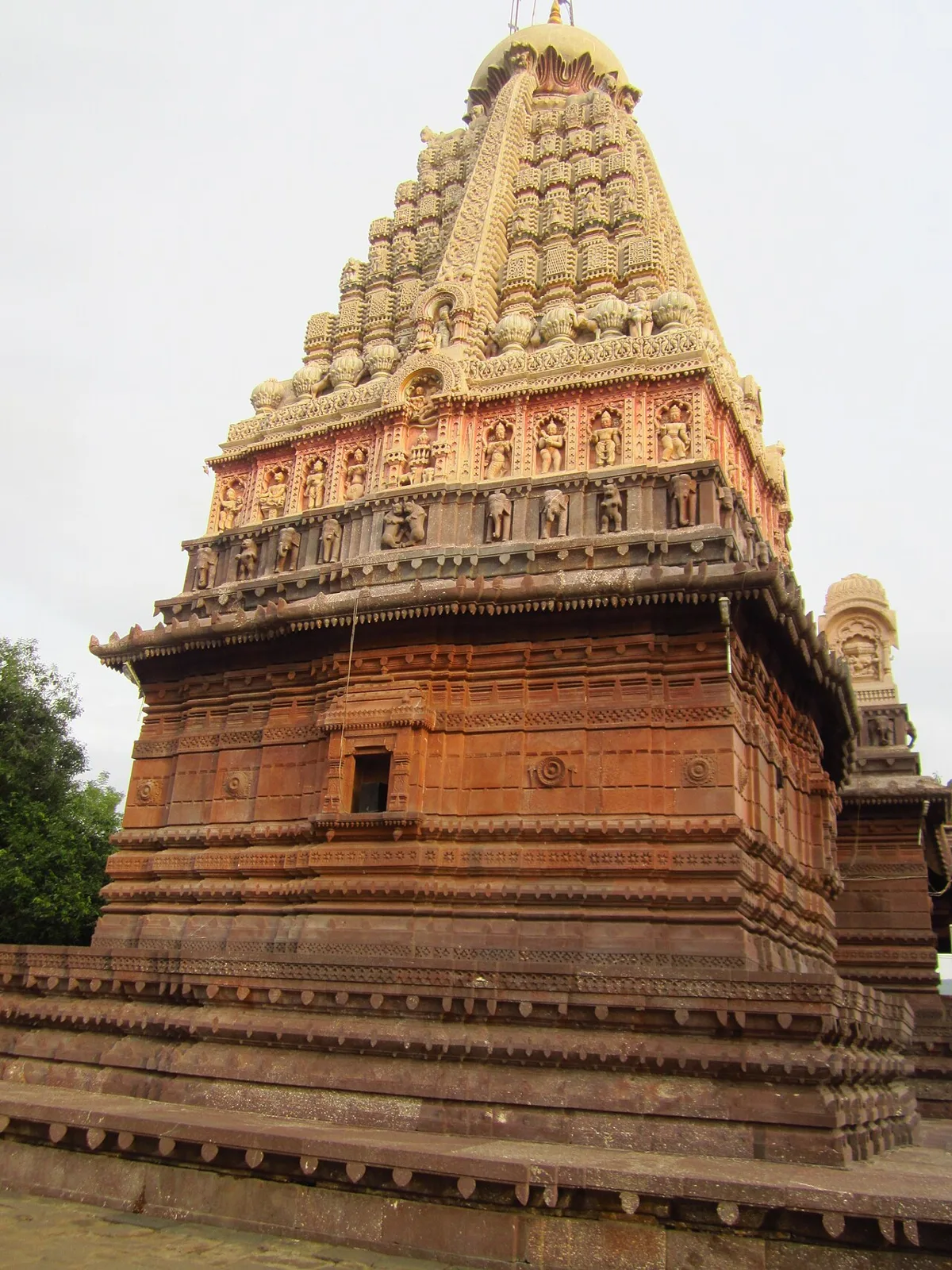
Ghrishneshwar Temple

Ghrishneshwar Temple is a Shiva shrine in Verul, Maharashtra, and one of the twelve Jyotirlingas. Visitors come to worship Shiva at this nationally protected temple.

Aurangabad Caves

137 km away · Chhatrapati Sambhajinagar district

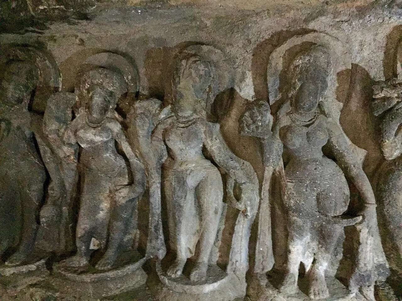
Aurangabad Caves

Near Aurangabad in Maharashtra, this hill complex contains twelve Buddhist sanctuaries excavated in basalt. Visitors explore its cave architecture and carvings, which represent several Buddhist traditions and include a range of deities.

Bibi Ka Maqbara

139 km away · Chhatrapati Sambhajinagar district

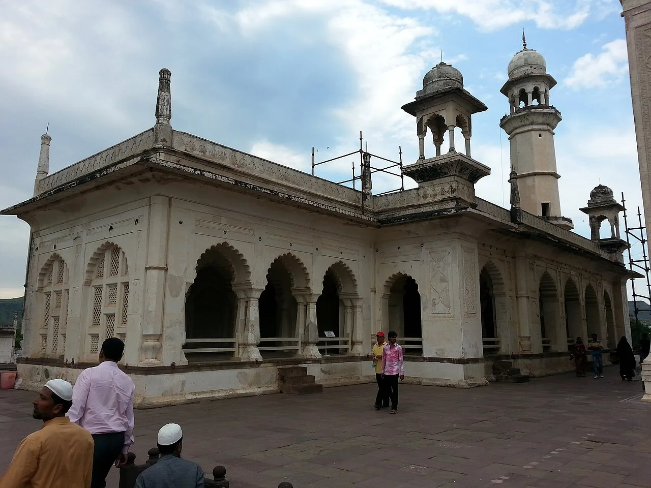
Bibi Ka Maqbara

Bibi Ka Maqbara is a Mughal mausoleum in Aurangabad, Maharashtra, built for Dilras Banu Begum. Visitors come to see its resemblance to the Taj Mahal and its place in the region’s history.

Daulatabad Fort

140 km away · Chhatrapati Sambhajinagar district

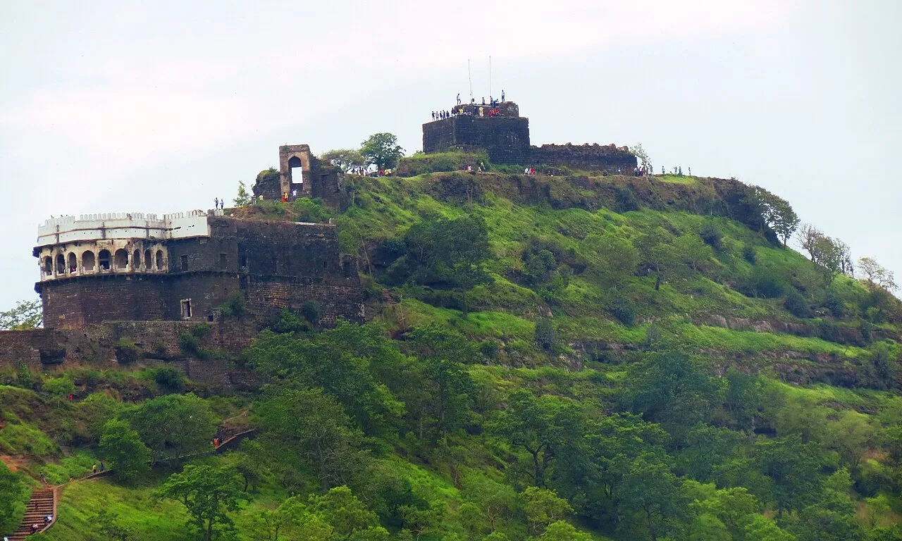
Daulatabad Fort

Daulatabad Fort is a historic stronghold in Maharashtra, first known as Devagiri. Visitors explore its history as a Yadava seat, briefly a Delhi Sultanate capital, and later an Ahmadnagar centre.

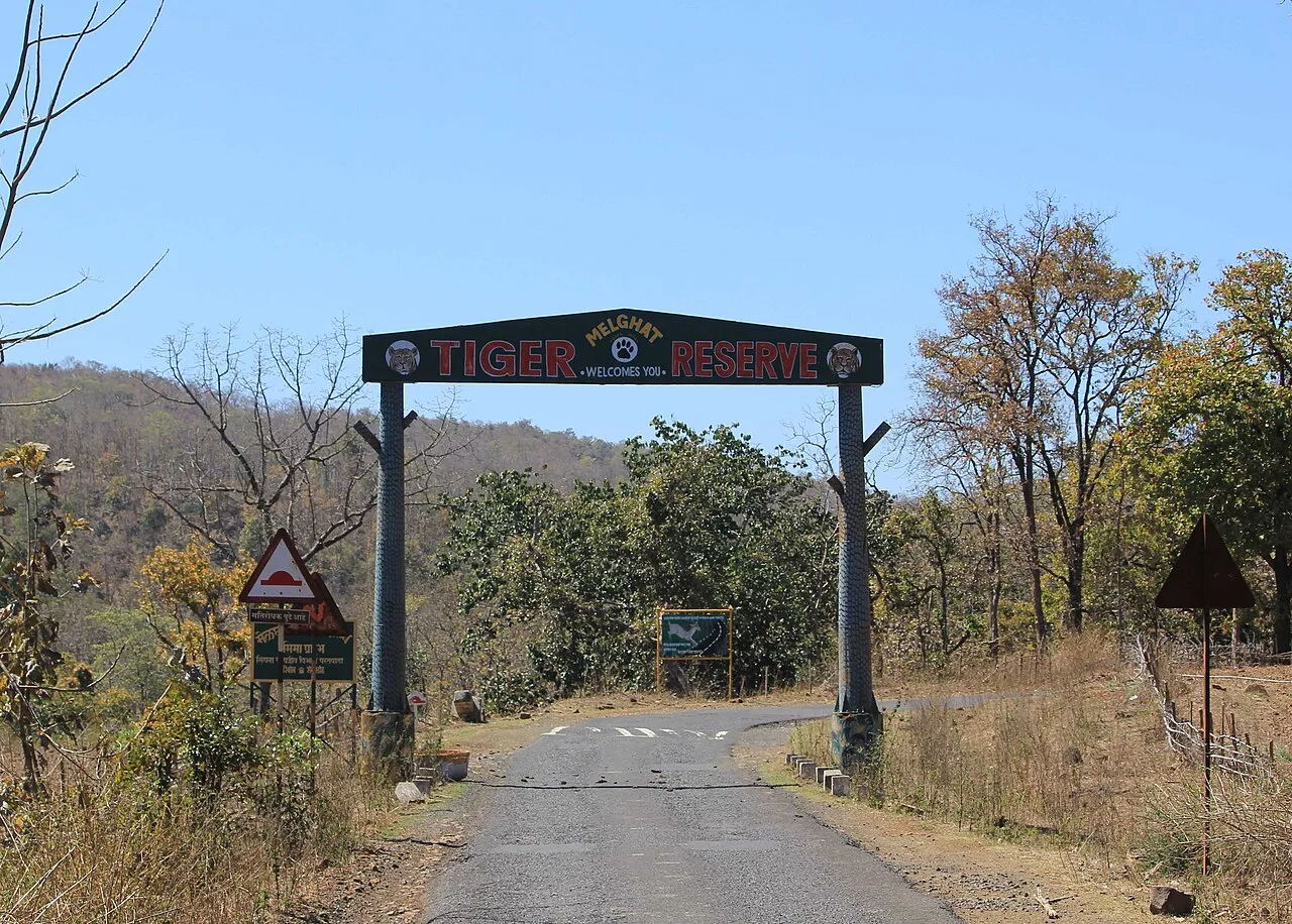
Melghat Tiger Reserve

142 km away · Amravati district

Melghat Tiger Reserve

Melghat Tiger Reserve is a protected area in northern Amravati district, Maharashtra. Visitors come to experience its wildlife and learn about its place in India’s Project Tiger programme.

Map

Varangaon on the map

  1. 1Ajanta Caves
  2. 2Lonar Lake
  3. 3Ellora Caves
  4. 4Ghrishneshwar Temple
  5. 5Aurangabad Caves
  6. 6Bibi Ka Maqbara
  7. 7Daulatabad Fort
  8. 8Melghat Tiger Reserve

Maharashtra

Other cities to explore