Ghumoopedia — Explore, Discover, Experience
Sign in
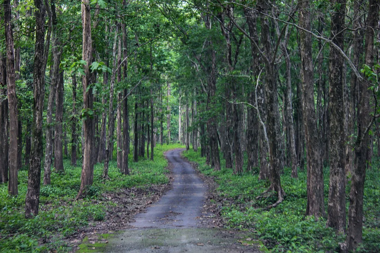
Mahananda Wildlife Sanctuary, near Islampur

City guide · West Bengal

Islampur

Islampur is an administrative and market town in Uttar Dinajpur district, in northern West Bengal. It is the headquarters of Islampur subdivision and Islampur community development block, serving residents and villages across a broad stretch of the district.

Famous for

  • Islampur subdivision headquarters
  • Bengal–Bihar borderland
  • Urdu-speaking community heritage
  • Regional market town

Why Islampur matters

Islampur is an administrative and market town in Uttar Dinajpur district, in northern West Bengal. It is the headquarters of Islampur subdivision and Islampur community development block, serving residents and villages across a broad stretch of the district. Its position near the Bihar border gives the town a distinctly regional role, linking West Bengal with neighbouring communities and trade routes.

For most visitors, Islampur is a practical stop for local business, government work or onward travel rather than a destination centred on major monuments. The town’s story is closely tied to the changing boundary between Bihar and West Bengal, and its population reflects a mix of Bengali-, Urdu- and Hindi-speaking communities. Urdu has official-language status in the municipality under West Bengal’s language provisions. Visitors can experience everyday town life in its central market and administrative areas, while using Islampur as a base for journeys through the surrounding subdivision. It is best known for its civic importance and borderland character, not for a single landmark or signature tourist product.
Famous for: crafts, trade & products

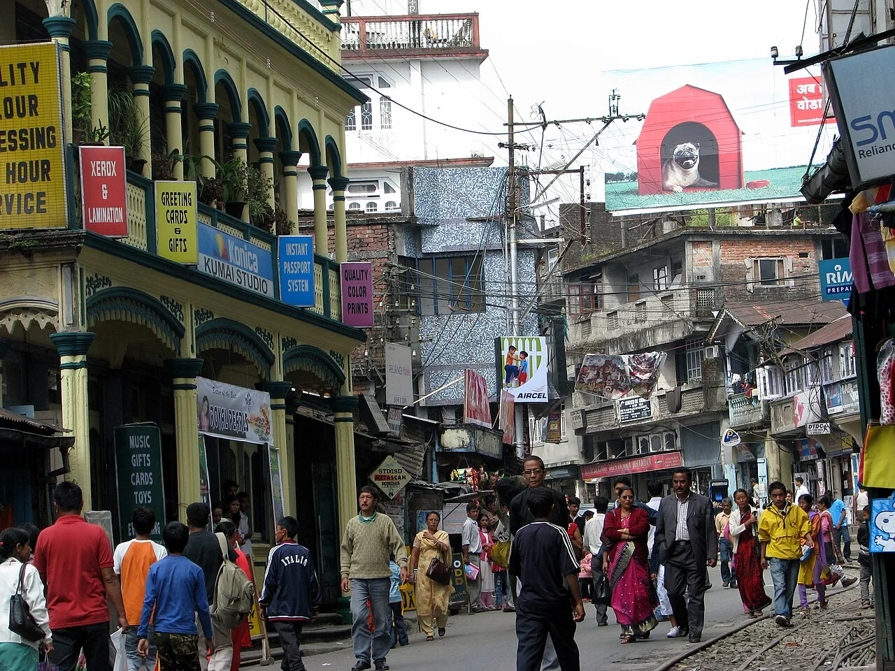
Islampur is best understood as a service and trading centre for its subdivision, rather than as a specialist textile, handicraft or industrial destination. Its central market serves local households and people arriving from nearby rural areas, with everyday groceries, clothing, household goods and seasonal produce. The surrounding countryside supports local agricultural trade, though the town is not widely identified with a particular crop, craft tradition or GI-tagged product.

For visitors, the most useful place to browse is the central bazaar and the shops around the town centre and railway station. These are practical places to find daily necessities and simple snacks, rather than curated craft outlets or a dedicated souvenir market. Islampur’s public institutions are also part of its identity: the subdivision administration and municipal services make it an important local hub. Anyone seeking specialised regional textiles, recognised handicrafts or a particular branded food should check availability locally rather than assume it is made or sold here. The town’s strongest association remains its role connecting nearby communities with markets and government services.

History

Islampur’s modern history reflects a major administrative boundary change in the region. Before 1956, the area formed part of the Kishanganj subdivision of Purnea district in Bihar. In that year, Goalpokhar, Islampur and Chopra police-station areas, parts of Thakurganj, and adjoining territory were transferred to West Bengal. The transferred areas were initially incorporated into Raiganj subdivision of West Dinajpur district.

Islampur’s role as a separate administrative centre took shape soon afterwards. On 21 March 1959, West Bengal Chief Minister Bidhan Chandra Roy inaugurated Islampur subdivision at its newly built administrative office. The town subsequently developed around the work of subdivision and block administration, alongside its municipal services and local markets. Today it remains the headquarters of both Islampur subdivision and Islampur community development block, within Uttar Dinajpur district. Its growth is therefore chiefly associated with post-independence administration and regional connectivity, rather than with a prominent royal court or a celebrated colonial-era monument.

Food, festivals & culture

Islampur’s culture reflects the meeting of Bengali and north Bihar influences. Bengali and Urdu are important languages in local life, while Hindi is also commonly used; Urdu has official-language status in the municipality. Everyday meals draw on the wider regional pattern of rice, lentils, vegetables and fish, with foods and sweets available in local shops and eateries. The town is not especially known for a signature dish, so visitors should expect familiar regional fare rather than a distinct culinary speciality.

Durga Puja, usually held in autumn, brings neighbourhood celebrations, decorated pandals and community gatherings. Kali Puja is also observed around the same season. Eid celebrations follow the Islamic lunar calendar and are important to the town’s Muslim communities; Chhath, generally celebrated in autumn, reflects cultural connections across the Bihar border. Hindu temples and Muslim mosques serve local worshippers, though Islampur is not principally a pilgrimage centre. Festivals, devotional music and local performances are best encountered through community events rather than a formal cultural-tourism circuit.

Visiting the city

The cooler, drier months from roughly October to March are generally the most comfortable for a visit; summer can be hot, and monsoon rains may affect road journeys. The nearest major airport is Bagdogra Airport, with onward travel by road. Islampur railway station is the town’s main rail access point. Local travel is usually by auto-rickshaw, cycle-rickshaw or taxi, with buses and shared vehicles serving regional routes.

The central bazaar is a useful area to explore for everyday shopping and food, while the station surroundings offer practical transport links and services. The administrative quarter gives a sense of the town’s role as a subdivision headquarters. Islampur is best treated as a convenient regional base or stopover; visitors should confirm local transport for trips beyond the town centre.

Trips from the city

Nearest places to visit from Islampur

Our closest destination guides, by straight-line distance.

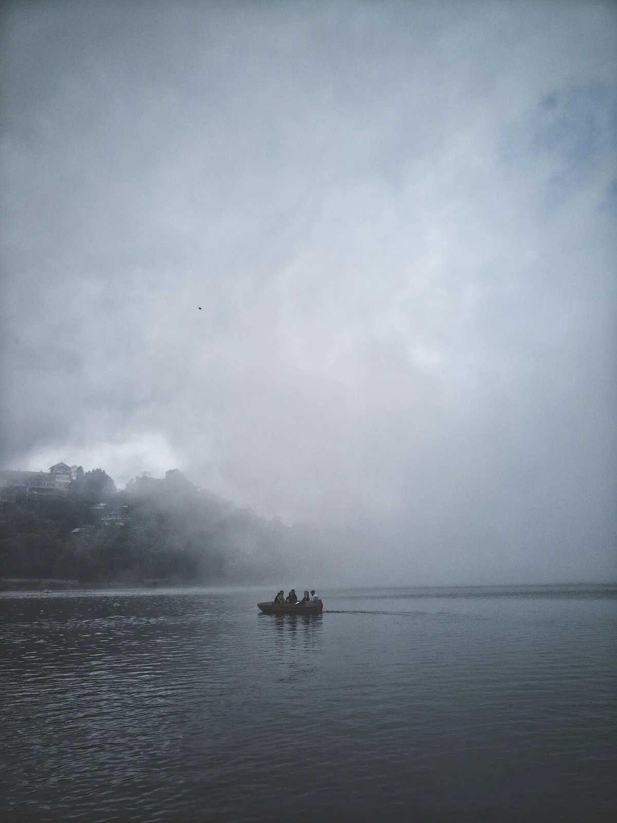
Mahananda Wildlife Sanctuary

25 km away · Darjeeling district

Mahananda Wildlife Sanctuary

Mahananda Wildlife Sanctuary is a protected reserve in West Bengal’s Darjeeling district, among the Himalayan foothills, with the Teesta on one side and the Mahananda on the other. Visitors come for its forest and wildlife.

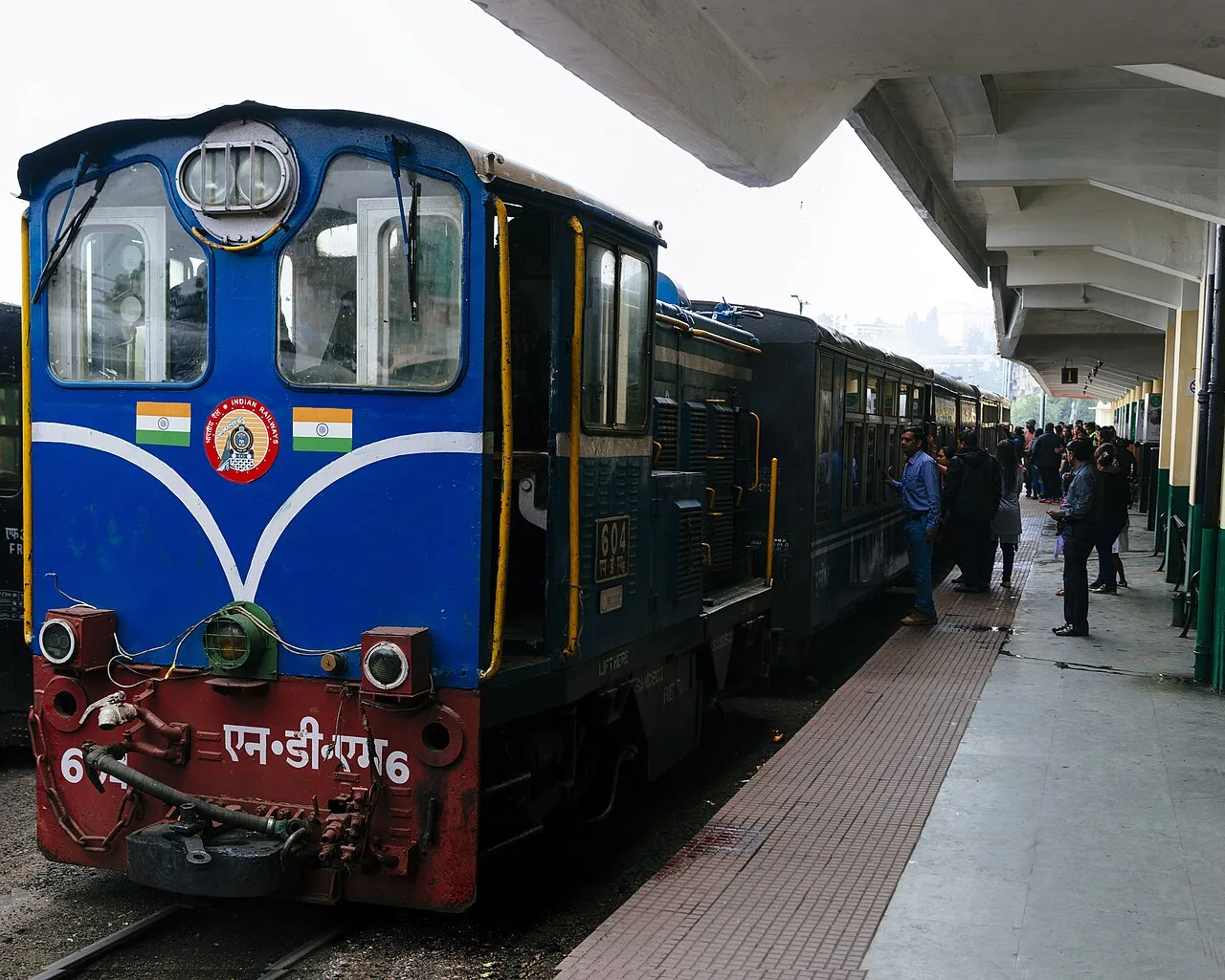
Darjeeling Himalayan Railway

53 km away · Darjeeling district

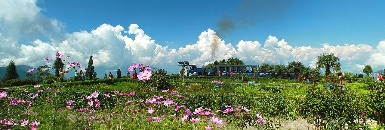
Darjeeling Himalayan Railway

This narrow-gauge railway runs through West Bengal between New Jalpaiguri and Darjeeling. Visitors travel its steep route on regular trains and on steam services to Ghum and Kurseong.

Kurseong

69 km away · Darjeeling district

Kurseong

Kurseong is a municipal town in West Bengal’s Darjeeling district and the administrative centre of its subdivision. Tourism and education are important to the local economy, and visitors experience its pleasant year-round climate.

Mirik

69 km away · Darjeeling district

Mirik

A small town and Notified Area in Darjeeling district, Mirik is the headquarters of its subdivision. Visitors may learn about its administrative role and the Lepcha origin attributed to its name.

Gorumara National Park

78 km away · Jalpaiguri district

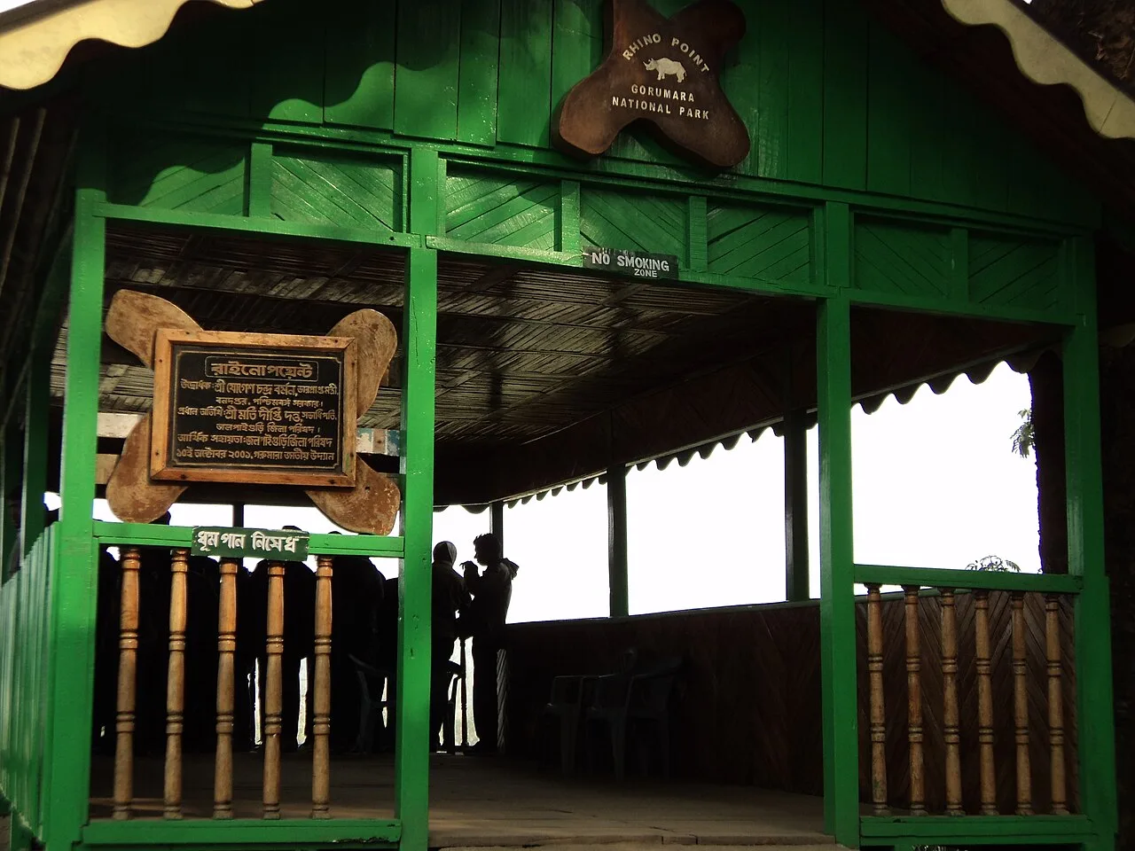
Gorumara National Park

Set in the Dooars foothills of the Himalayas, Gorumara is a protected area in northern West Bengal. Visitors come chiefly to see its Indian rhinoceroses among forests and grasslands.

Tiger Hill

82 km away · Darjeeling district

Tiger Hill

Tiger Hill is a mountain in West Bengal’s Darjeeling district, standing 2,590 metres (8,500 ft) high. Visitors go for a panoramic view of Everest and Kanchenjunga in the same vista.

Ghum Monastery

83 km away · Darjeeling district

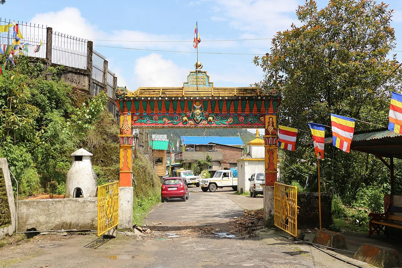
Ghum Monastery

Ghum Monastery, or Yiga Choeling, is a Gelukpa Buddhist monastery in Darjeeling district. Visitors come to see its large Maitreya Buddha statue and learn about its history and continuing religious community.

Batasia Loop

84 km away · Darjeeling district

Batasia Loop

Batasia Loop is a railway feature in Darjeeling district, West Bengal, where the Darjeeling Himalayan Railway winds around a small hill. Visitors come to see its unusual track layout.

Map

Islampur on the map

  1. 1Mahananda Wildlife Sanctuary
  2. 2Darjeeling Himalayan Railway
  3. 3Kurseong
  4. 4Mirik
  5. 5Gorumara National Park
  6. 6Tiger Hill
  7. 7Ghum Monastery
  8. 8Batasia Loop

West Bengal

Other cities to explore