Ghumoopedia — Explore, Discover, Experience
Sign in
Tarapith, near Kandi

City guide · West Bengal

Kandi

Kandi is an administrative and market centre for the Kandi subdivision of Murshidabad district. Set on the east bank of the Kana Mayurakshi River, it serves the surrounding rural communities with municipal services, shops and everyday commerce.

Famous for

  • Murshidabad rice-growing belt
  • Kandi subdivision headquarters
  • Kana Mayurakshi river setting
  • Municipal status since 1869

Why Kandi matters

Kandi is an administrative and market centre for the Kandi subdivision of Murshidabad district. Set on the east bank of the Kana Mayurakshi River, it serves the surrounding rural communities with municipal services, shops and everyday commerce. Its agricultural hinterland is especially associated with rice production, earning the area a reputation as a rice store for the district.

Kandi is not primarily a monument-focused tourist destination, but it offers a view of life in an important rural town of Bengal. Visitors can explore its busy local market, observe the town’s relationship with the river and farmland, and use it as a base for journeys through the wider district. Murshidabad’s historic sites lie elsewhere in the region, while Kandi itself reflects the administrative and agricultural networks that sustain them. The river basin also shapes local life: monsoon rains can bring flooding and disrupt road connections, so conditions are worth checking before travelling in that season.
Famous for: crafts, trade & products

Kandi’s best-known product is rice, grown across the surrounding agricultural belt and traded through the town’s everyday markets. Paddy and other local farm produce are part of the area’s economy, and the central bazaar is the most practical place to see the town’s retail life or ask about seasonal goods. The town is not especially associated with a signature textile, handicraft or locally registered GI product, so visitors should not expect a specialist craft district.

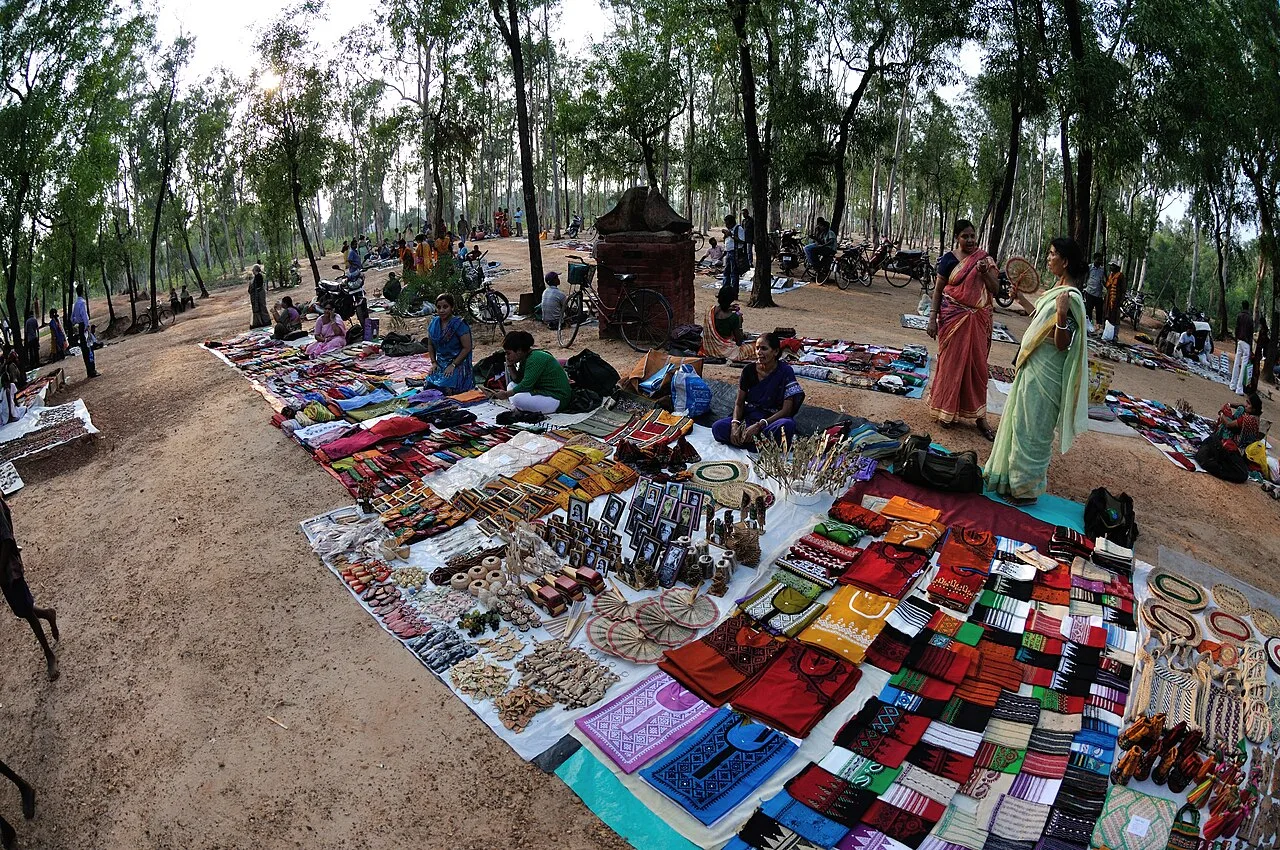
Shops and market stalls mainly serve local residents, with household goods, food and agricultural supplies alongside produce. Bengali snacks and sweets can be found at ordinary neighbourhood food shops, though Kandi is not widely identified with a particular sweet or packaged specialty. For locally made items or seasonal produce, browsing the central market and asking vendors what is currently available is more useful than looking for a dedicated tourist market. Kandi’s significance is chiefly as a regional service and trading centre rather than as a manufacturing or craft destination.

History

Kandi developed as a market and administrative centre within the agricultural countryside of Murshidabad. Its position in the Mayurakshi river basin connected it to a fertile but flood-prone landscape, where settlements and trade have long depended on seasonal water and cultivation. The town’s present role reflects that relationship: it serves villages across the subdivision as well as its own residents.

A notable milestone came in 1869, when Kandi acquired municipal status under British rule. The municipality’s long history of local administration helped establish the town as a civic centre in the district. Kandi later became the headquarters of the Kandi subdivision, strengthening its importance for public services and regional commerce. Modern development has continued alongside its older market-town character. At the same time, the surrounding river systems remain a major influence: heavy monsoon flows and drainage congestion have periodically caused flooding and interrupted connections with other parts of the district.

Food, festivals & culture

Bengali is the main language of daily life, and the town’s food reflects the wider Bengali emphasis on rice, fish, lentils and seasonal vegetables. Local sweet shops and snack stalls offer familiar regional treats, although Kandi is not particularly known for one signature dish. The central market and neighbourhood food shops are good places to encounter ordinary town life and seasonal produce.

Durga Puja, usually celebrated in autumn, is a major occasion, with community worship and decorated pandals. Kali Puja follows in the autumn festival season, while Saraswati Puja is commonly observed in winter. Muslim residents celebrate Eid according to the lunar calendar. Temples and mosques serve as neighbourhood places of worship, and devotional music is part of festival gatherings. Folk and popular Bengali music from the wider region can also be heard at community events; there is no single dance form that defines Kandi’s cultural identity.

Visiting the city

The cooler, drier months from about October to February are generally the most comfortable time to visit. Monsoon travel can be affected by flooding or waterlogged roads, so check local conditions before setting out. Netaji Subhas Chandra Bose International Airport in Kolkata is the nearest major airport; Kandi is roughly 195 km from the city. For rail access, Salar is a nearby station, while Berhampore Court serves the district headquarters and is a useful regional railhead.

Local buses, shared vehicles, auto-rickshaws and cycle-rickshaws can help with journeys around town and nearby villages. Explore the municipal centre and central bazaar for shops and everyday activity, then visit accessible stretches near the Kana Mayurakshi for a sense of the river setting. Ask locally about riverbank access, particularly during the rainy season.

Trips from the city

Nearest places to visit from Kandi

Our closest destination guides, by straight-line distance.

Tarapith

30 km away · Birbhum district

Tarapith

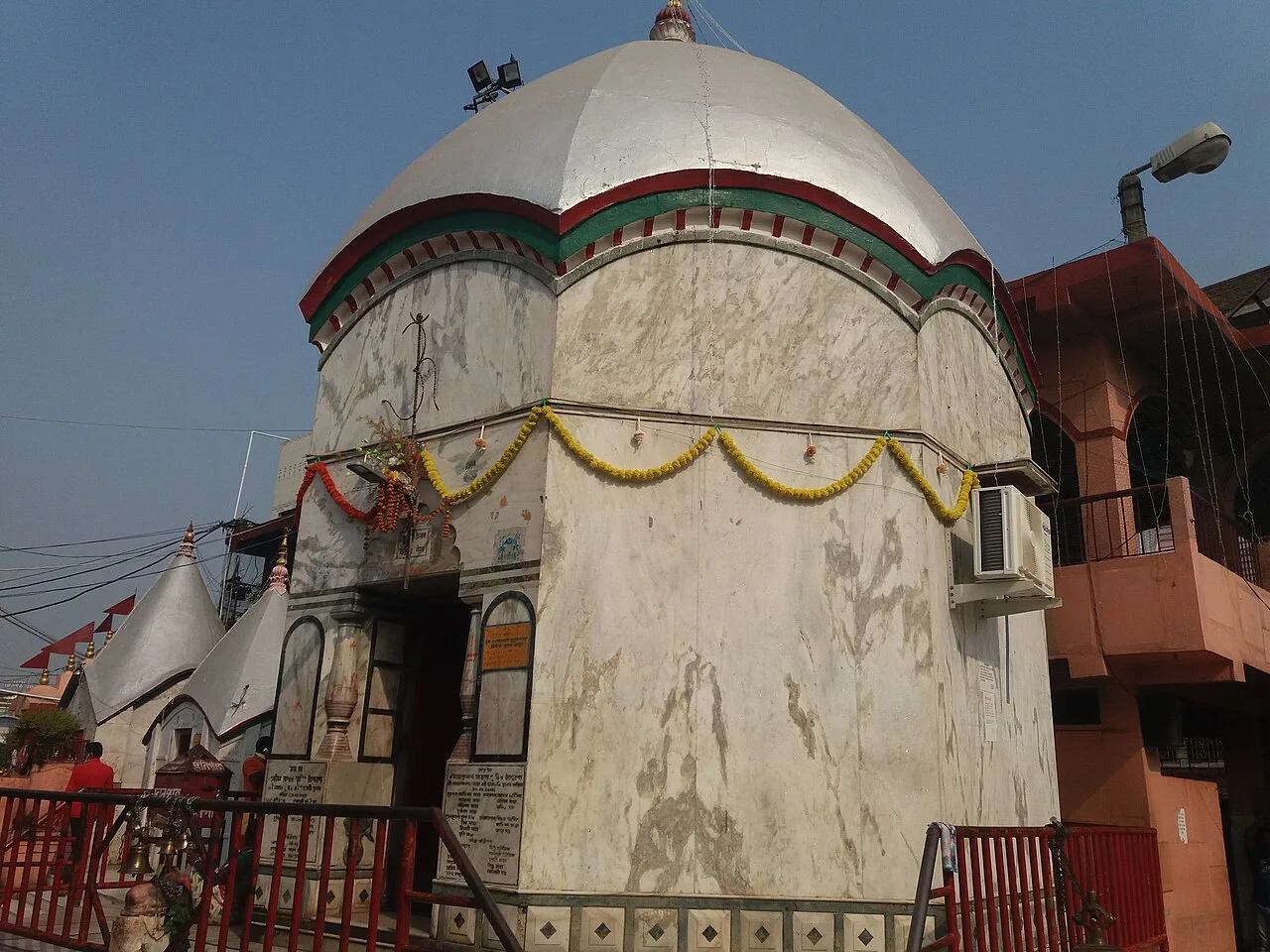
Tarapith is a town in West Bengal’s Birbhum district and a Hindu pilgrimage destination. Visitors come to worship the goddess Tara at its Tantric temple and visit nearby religious sites.

Hazarduari Palace

34 km away · Murshidabad district

Hazarduari Palace

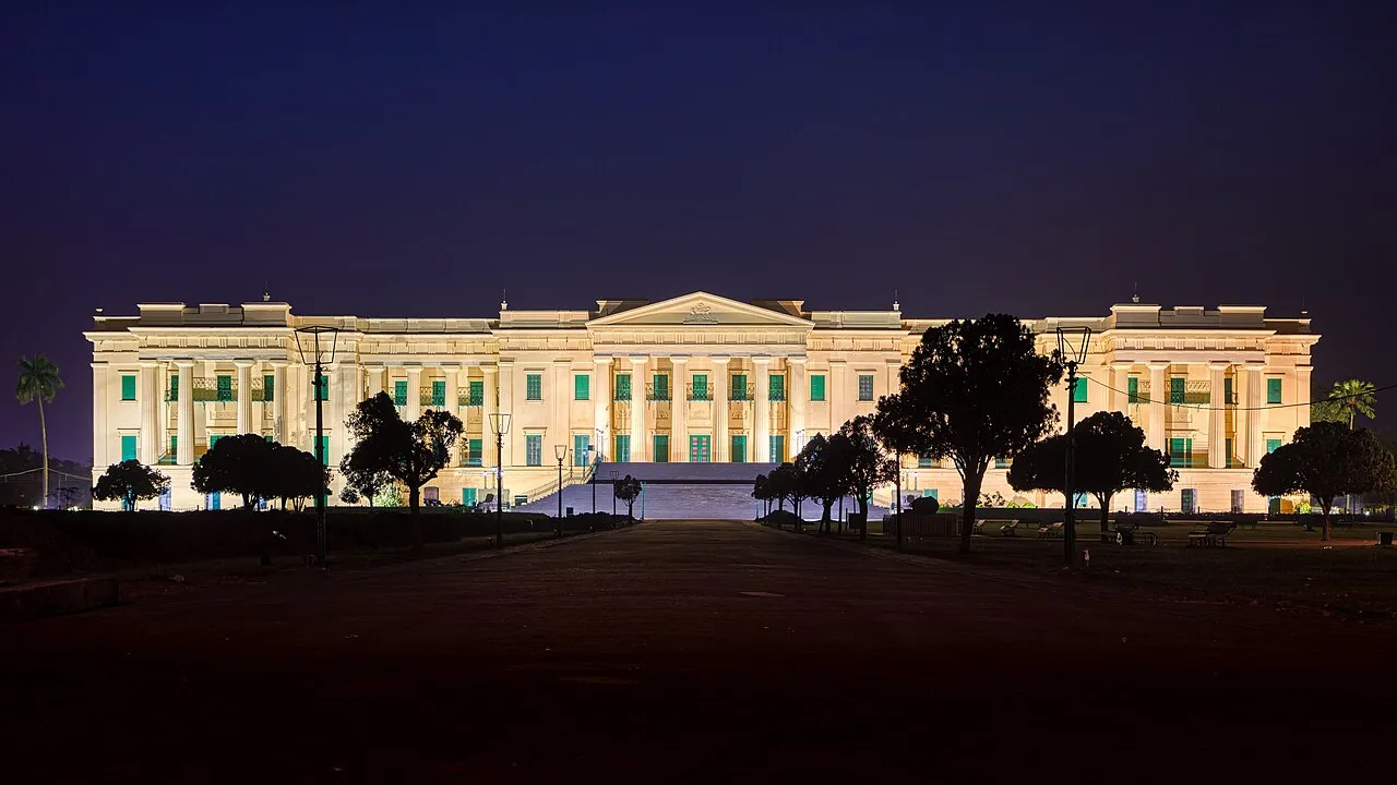
Hazarduari Palace is a former royal residence in Murshidabad, now a museum and national monument. Visitors come to see its nineteenth-century architecture and explore its cultural role.

Nizamat Imambara

34 km away · Murshidabad district

Nizamat Imambara

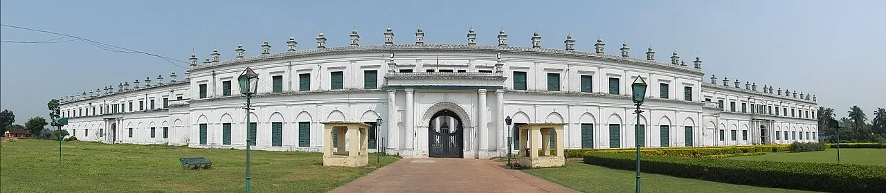
Nizamat Imambara is a Shi’ite congregation hall in Murshidabad, noted for its history and scale; visitors come to see a historic site recognised for national importance.

Katra Masjid

36 km away · Murshidabad district

Katra Masjid

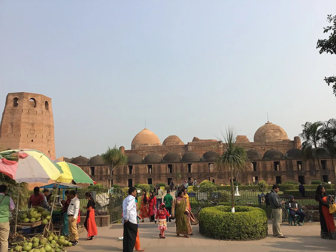
Katra Masjid is a partly ruined complex in Murshidabad, West Bengal, combining a former Shia caravanserai, mosque and tomb. Visitors come to see its historic architecture and the burial place of its founder.

Santiniketan

48 km away · Birbhum district

Santiniketan

Santiniketan is a neighbourhood of Bolpur in West Bengal, associated with the Tagore family and Visva-Bharati. Visitors come to explore its heritage and its status as a UNESCO World Heritage site.

Bakreshwar

68 km away · Birbhum district

Bakreshwar

Bakreshwar is a village in Birbhum district, West Bengal. Visitors may be interested in the nearby Bakreshwar thermal power facilities, and Dubrajpur is the closest rail connection.

Mayapur

68 km away · Nadia district

Mayapur

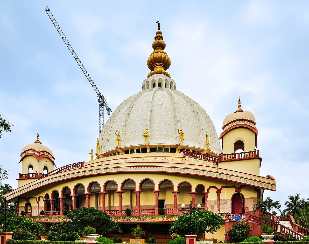
Mayapur is a pilgrimage settlement in Nadia district, West Bengal, within Nabadwip CD block and Krishnanagar Sadar subdivision. Visitors come for its religious importance to Gaudiya Vaishnavas.

Nabadwip

69 km away · Nadia district

Nabadwip

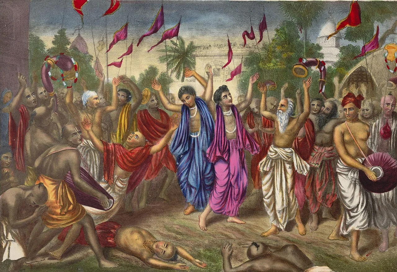
Nabadwip is a historic city in West Bengal, revered as the birthplace of Chaitanya Mahaprabhu. Visitors come for its Vaishnava heritage, religious celebrations and long tradition of Sanskrit learning.

Map

Kandi on the map

  1. 1Tarapith
  2. 2Hazarduari Palace
  3. 3Nizamat Imambara
  4. 4Katra Masjid
  5. 5Santiniketan
  6. 6Bakreshwar
  7. 7Mayapur
  8. 8Nabadwip

West Bengal

Other cities to explore