Ghumoopedia — Explore, Discover, Experience
Sign in

City guide · Bihar

Bhawanipur

Bhawanipur, also known as Bhawanipur Rajdham, is a rural settlement in Purnia district in north-eastern Bihar. Its importance is chiefly local: it serves residents of the village and surrounding countryside, with civic life organised through Bhawanipur East and Bhawanipur West gram panchayats within Bhawanipur Community Development Block.

Famous for

  • Bhawanipur Rajdham village
  • Bhawanipur East panchayat
  • Bhawanipur West panchayat
  • Purnia district setting
  • SH 65 road access

Why Bhawanipur matters

Bhawanipur, also known as Bhawanipur Rajdham, is a rural settlement in Purnia district in north-eastern Bihar. Its importance is chiefly local: it serves residents of the village and surrounding countryside, with civic life organised through Bhawanipur East and Bhawanipur West gram panchayats within Bhawanipur Community Development Block. It is not widely established as a major sightseeing destination, and visitors are more likely to come for local connections, family visits or work than for a concentrated set of tourist attractions.

The settlement’s regional links make it practical to reach from Purnia, about 45 kilometres away. State Highway 65 provides the closest stated road route, while National Highway 31 is about 23 kilometres away. For travellers, Bhawanipur offers a view of everyday rural life in Purnia district rather than a well-developed visitor circuit. Its identity is tied to its village and panchayat setting; no widely documented signature craft, product or landmark currently distinguishes it beyond the locality itself.

Famous for: crafts, trade & products

Bhawanipur is not widely documented as a centre for a particular textile, handicraft, GI-tagged product or large-scale industry. There is also no established record of a specialist shopping quarter or a signature local product market that travellers can reliably seek out. Its commercial life is best understood as serving everyday needs of the village and nearby rural communities, rather than as a destination trade hub.

Visitors looking for regional goods can ask locally about shops and seasonal markets, since small-town and village retail arrangements may change and are not consistently described in travel references. Purnia is the nearest larger urban centre for a broader choice of shops and services. No named Bhawanipur institution or workshop is sufficiently well documented as a visitor attraction, so it is prudent to confirm locally before making a special trip to find a particular craft or product. The area’s strongest identifiable distinction is its local administrative role, with the settlement divided between Bhawanipur East and Bhawanipur West gram panchayats.

History

Bhawanipur’s recorded identity is that of a village in Purnia district, rather than a historic city with a widely documented royal court, monument or distinct ruling dynasty. The name Bhawanipur Rajdham is sometimes used for the settlement, but the name alone does not establish a specific royal history. Published details about the village’s early growth and local rulers are limited, so a more detailed dynastic account cannot be stated with confidence.

In the colonial period, the wider region formed part of the changing administrative landscape of north-eastern Bihar, but a specific colonial event or institution at Bhawanipur is not well documented. In modern administration, the village is associated with Bhawanipur Community Development Block and is divided between Bhawanipur East and Bhawanipur West gram panchayats. Road connections, including access via State Highway 65 and the nearby National Highway 31 corridor, link it with Purnia and other settlements. Its development is chiefly that of a rural service and residential centre.

Food, festivals & culture

Bhawanipur shares the broad food and festival traditions of rural Bihar. Home cooking commonly draws on rice, wheat, pulses and seasonal vegetables; litti-chokha and regional milk-based sweets are familiar across the state, though no particular dish is documented as unique to Bhawanipur. Chhath, observed mainly in autumn and again in spring, is an important festival in Bihar. Holi in spring, Diwali in autumn, and observances such as Eid and Durga Puja are also part of the region’s wider calendar; local practice varies among households.

Hindi is widely used, alongside local regional speech, and Urdu is used by some residents. Devotional and folk songs are part of seasonal and family celebrations, but no distinctive local music or dance tradition is widely recorded for the village. Residents worship at local places of worship; specific sites of regional or visitor significance are not well documented. For a fuller range of cultural events and services, nearby Purnia is the larger urban centre.

Visiting the city

The cooler, drier months, roughly October to March, are generally more comfortable for a visit; summer can be hot and monsoon rain may affect road journeys. Purnia Airport at Chunapur is the nearest named airport, but check current flight availability before travelling. Banmankhi Junction is a nearby rail option; Purnea Junction offers another connection in the district. Confirm the most convenient station and onward transport for your itinerary.

Bhawanipur is about 45 kilometres from Purnia and is approached most directly via State Highway 65; National Highway 31 is about 23 kilometres away. Local travel is by road, with onward journeys typically arranged from nearby towns. Bhawanipur East and Bhawanipur West are useful areas to orient around, but the village has no established tourist neighbourhood or formal sightseeing circuit. Purnia is the practical base for a wider choice of services.

Trips from the city

Nearest places to visit from Bhawanipur

Our closest destination guides, by straight-line distance.

Madhubani

96 km away · Madhubani district

Madhubani

Madhubani is a city in Bihar’s Mithila region and the headquarters of its district. Visitors may be drawn by its regional identity and administrative importance.

Darbhanga

117 km away · Darbhanga district

Darbhanga

Darbhanga is a major city and municipal corporation in Bihar, serving as the administrative centre of its district and division. Visitors encounter a longstanding centre of Mithila’s cultural, literary and musical traditions.

Katihar

117 km away · Purnia district

Katihar

Katihar is a major city in Bihar, known for its regional commercial, educational and administrative roles. Travellers also use it as a railway hub linking routes towards North Bengal and the north-east.

Vikramshila University Ruins

128 km away · Bhagalpur district

Vikramshila University Ruins

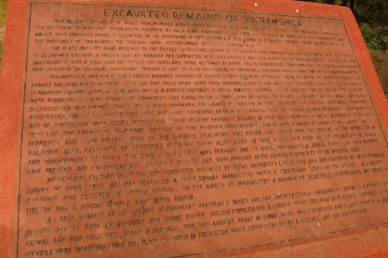
Vikramshila University Ruins mark a major Buddhist centre of learning in Bihar. Visitors come to explore the site and learn about its scholars and place in Buddhist education.

Munger Fort

132 km away · Munger district

Munger Fort

Munger Fort is a historic stronghold in Bihar, set on a rocky rise beside the Ganges. Visitors come to see its tombs, palace, temple, riverside ghat and British-era cemetery.

Sitamarhi

153 km away · Sitamarhi district

Sitamarhi

Sitamarhi is a city in Bihar’s Tirhut Division and the administrative centre of its district. Visitors are drawn by the Hindu tradition linking it to Sītā’s birth.

Bhimbandh Wildlife Sanctuary

155 km away · Munger district

Bhimbandh Wildlife Sanctuary

In Bihar’s Munger district, Bhimbandh Wildlife Sanctuary is a sanctuary devoted to wildlife. Visitors come to spend time in this wildlife-focused place in the district’s south-west.

Mandar Hill

179 km away · Bhagalpur district

Mandar Hill

Mandar Hill, also called Mandar Parvat, is a roughly 700-foot hill at Bounsi in Bihar’s Banka district. Hindus and Jains visit it as a place of pilgrimage.

Map

Bhawanipur on the map

  1. 1Madhubani
  2. 2Darbhanga
  3. 3Katihar
  4. 4Vikramshila University Ruins
  5. 5Munger Fort
  6. 6Sitamarhi
  7. 7Bhimbandh Wildlife Sanctuary
  8. 8Mandar Hill

Bihar

Other cities to explore