Ghumoopedia — Explore, Discover, Experience
Sign in
Katihar, near Manihari

City guide · Bihar

Manihari

Manihari is a river town in Katihar district, eastern Bihar, set beside the Ganga near the river’s meeting zone with the Kosi. Its position gives it a distinctive role as a local crossing point between Bihar and Jharkhand: ferries connect Manihari Ghat with Sakrigali Ghat near Sahibganj.

Famous for

  • Manihari Ganga Ghat
  • Maghi Purnima bathing
  • Ganga–Kosi river landscape
  • Manihari–Sakrigali ferry
  • Gogabeel wetland

Why Manihari matters

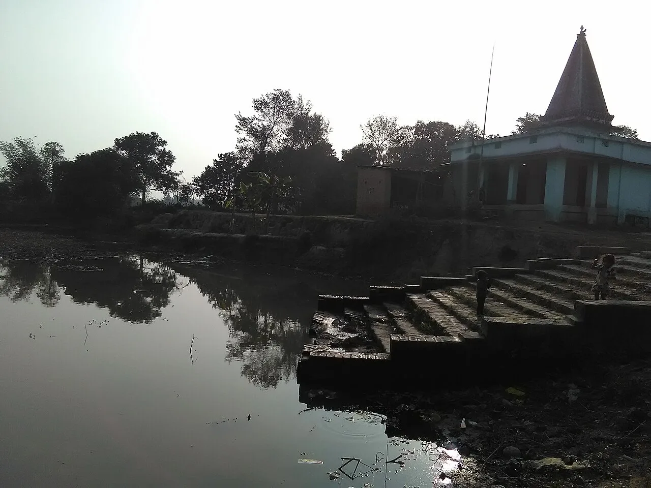
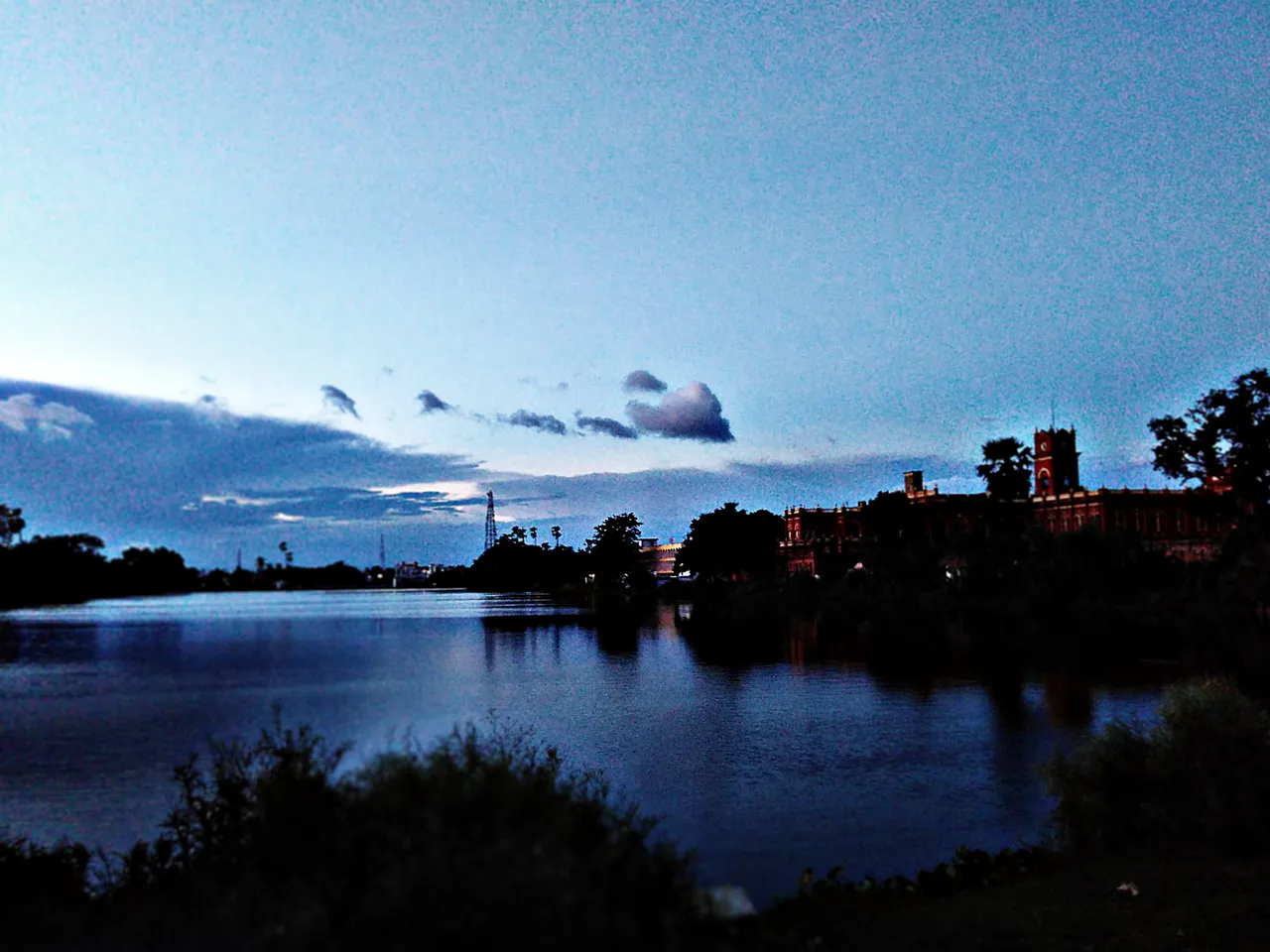
Manihari is a river town in Katihar district, eastern Bihar, set beside the Ganga near the river’s meeting zone with the Kosi. Its position gives it a distinctive role as a local crossing point between Bihar and Jharkhand: ferries connect Manihari Ghat with Sakrigali Ghat near Sahibganj. The Ganga also makes a pronounced southward turn here, shaping the landscape and the town’s long association with river travel and pilgrimage.

Visitors come to the ghats for river views, bathing and worship, especially around Maghi Purnima, and to experience the working riverfront. The town’s appeal also includes nearby Gogabeel, a wetland and community bird sanctuary, and historic or religious sites such as Peer Pahad, Ardhanarishwar Gauri Shankar Temple and Haj Ghar Shahi Mosque. Manihari remains a modest regional town rather than a large tourist hub, but its river crossing, railway heritage and place in the cultural landscape of Seemanchal make it a rewarding stop for travellers exploring the Ganga basin.
Famous for: crafts, trade & products

Manihari is best known for its riverfront and transport links, not for a widely documented signature textile, handicraft or GI-tagged product. The Ganga Ghat and ferry crossing have long supported movement between the banks, while the town’s shops and markets serve residents, pilgrims and travellers with everyday goods, groceries and regional produce. Small-town markets around the central area are the practical places to look for these items; there is no established specialist craft bazaar or major branded shopping district.

Agriculture and local trade are part of the surrounding economy, while the railway and ferry connections remain visible features of Manihari’s identity. Visitors may encounter seasonal river fish and produce from the wider region, but these are not uniquely Manihari products. The town’s most distinctive visitor experiences are instead cultural and natural: the Ganga bathing ghats, places of worship, the historic railway station and trips toward Gogabeel’s wetland habitat. For specialist handicrafts or a broader retail selection, travellers may need to look to larger centres such as Katihar.

History

Manihari’s history is closely tied to the Ganga as a pilgrimage route and a means of crossing the river. An early nineteenth-century account describes a very large gathering at the ghat for Maghi Purnima bathing, reflecting the site’s established religious importance. The wider area also carries memories of the 1756 conflict between Shaukat Jung, Nawab of Purnia, and Siraj-ud-Daulah, Nawab of Bengal, near Baldiabadi. The route of the seventh-century Buddhist pilgrim Xuanzang is associated with this river corridor.

Under British rule, Manihari developed as a rail-and-river interchange. Its railway station opened in 1887, linking the ghat to routes toward North Bengal; travellers once crossed by steamer to continue their journey. A local health centre was established around 1900. After the Farakka rail crossing opened in 1975, the older through-route lost much of its importance, though the ferry connection with Sakrigali continues. Broad-gauge rail services and local connections now link Manihari with Katihar and the surrounding region.

Food, festivals & culture

The Ganga shapes Manihari’s religious life. Pilgrims visit the ghats for ritual bathing, with Maghi Purnima especially prominent; other Hindu observances, including Chhath and Kartik-period bathing, are also part of the wider river culture. Ganga aarti is held at the riverfront. The town’s places of worship reflect a diverse local heritage, including Ardhanarishwar Gauri Shankar Temple, Haj Ghar Shahi Mosque and Santmat Satsang Kuti, associated with Maharshi Mehi Paramhans.

Hindi is widely used, alongside regional languages such as Maithili, Angika, Urdu and Bengali. Food is broadly characteristic of eastern Bihar: rice, dal, vegetables and seasonal fish, with familiar regional dishes such as litti-chokha and local sweets available in everyday eateries and shops. These are regional staples rather than specialties unique to Manihari. Religious gatherings, devotional singing and satsang are more central to the town’s cultural life than formal performance venues; festivals follow the Hindu lunar calendar and can bring added activity to the ghats.

Visiting the city

October to March is generally the most comfortable season to visit, with cooler weather and easier conditions for exploring the riverfront. Monsoon months can bring high water and flooding, so check local conditions before planning a ghat visit or ferry crossing. Bagdogra Airport is a major nearby airport for air travellers. Manihari railway station serves the town, while Katihar Junction offers broader rail connections.

Auto-rickshaws and shared local vehicles are useful for getting around; ferry services link Manihari Ghat with Sakrigali, though operations can depend on river conditions. Explore the Ganga Ghat and station area, then visit local religious sites such as Peer Pahad and Gauri Shankar Temple. Gogabeel is a worthwhile nearby nature trip, particularly for birdlife; allow time to confirm access and river or road conditions locally.

Trips from the city

Nearest places to visit from Manihari

Our closest destination guides, by straight-line distance.

Katihar

22 km away · Purnia district

Katihar

Katihar is a major city in Bihar, known for its regional commercial, educational and administrative roles. Travellers also use it as a railway hub linking routes towards North Bengal and the north-east.

Vikramshila University Ruins

34 km away · Bhagalpur district

Vikramshila University Ruins

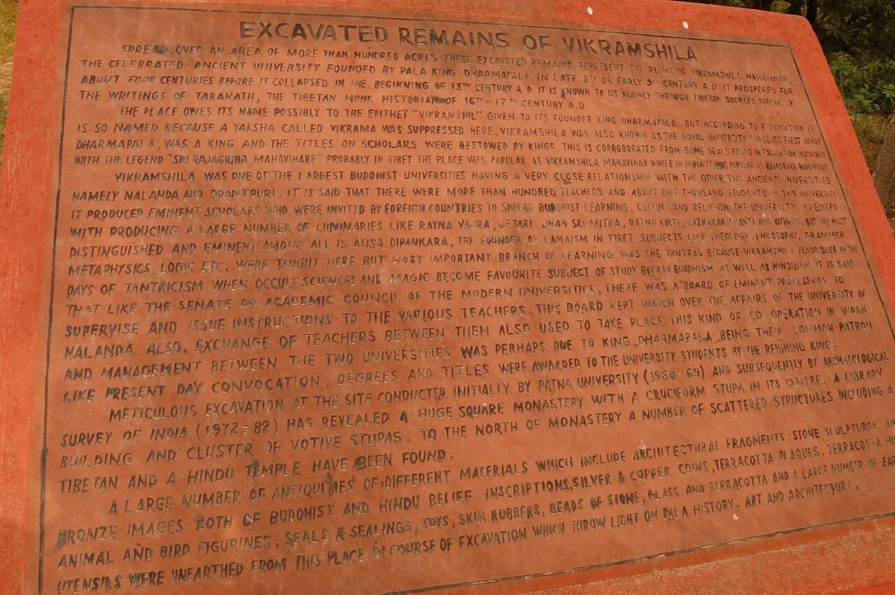
Vikramshila University Ruins mark a major Buddhist centre of learning in Bihar. Visitors come to explore the site and learn about its scholars and place in Buddhist education.

Mandar Hill

81 km away · Bhagalpur district

Mandar Hill

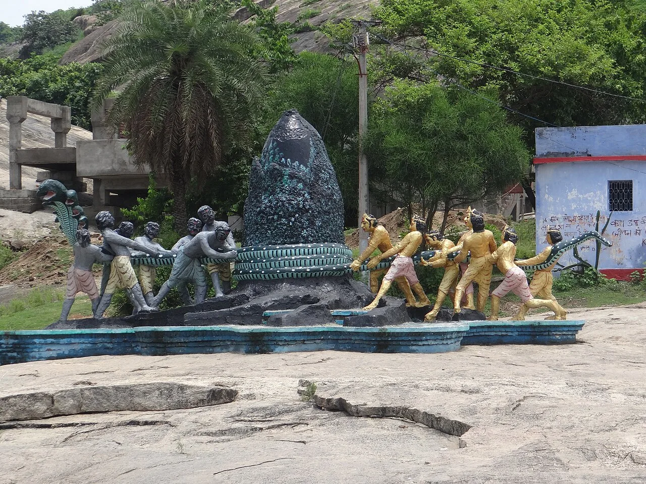
Mandar Hill, also called Mandar Parvat, is a roughly 700-foot hill at Bounsi in Bihar’s Banka district. Hindus and Jains visit it as a place of pilgrimage.

Munger Fort

116 km away · Munger district

Munger Fort

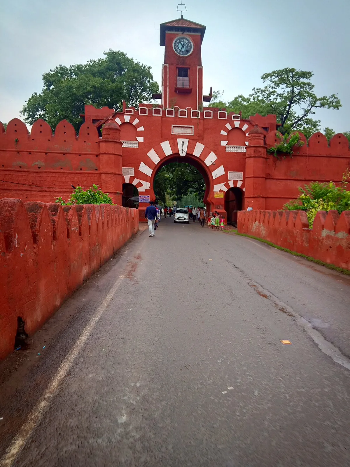
Munger Fort is a historic stronghold in Bihar, set on a rocky rise beside the Ganges. Visitors come to see its tombs, palace, temple, riverside ghat and British-era cemetery.

Bhimbandh Wildlife Sanctuary

135 km away · Munger district

Bhimbandh Wildlife Sanctuary

In Bihar’s Munger district, Bhimbandh Wildlife Sanctuary is a sanctuary devoted to wildlife. Visitors come to spend time in this wildlife-focused place in the district’s south-west.

Madhubani

192 km away · Madhubani district

Madhubani

Madhubani is a city in Bihar’s Mithila region and the headquarters of its district. Visitors may be drawn by its regional identity and administrative importance.

Vishwa Shanti Stupa

192 km away · Gaya district

Vishwa Shanti Stupa

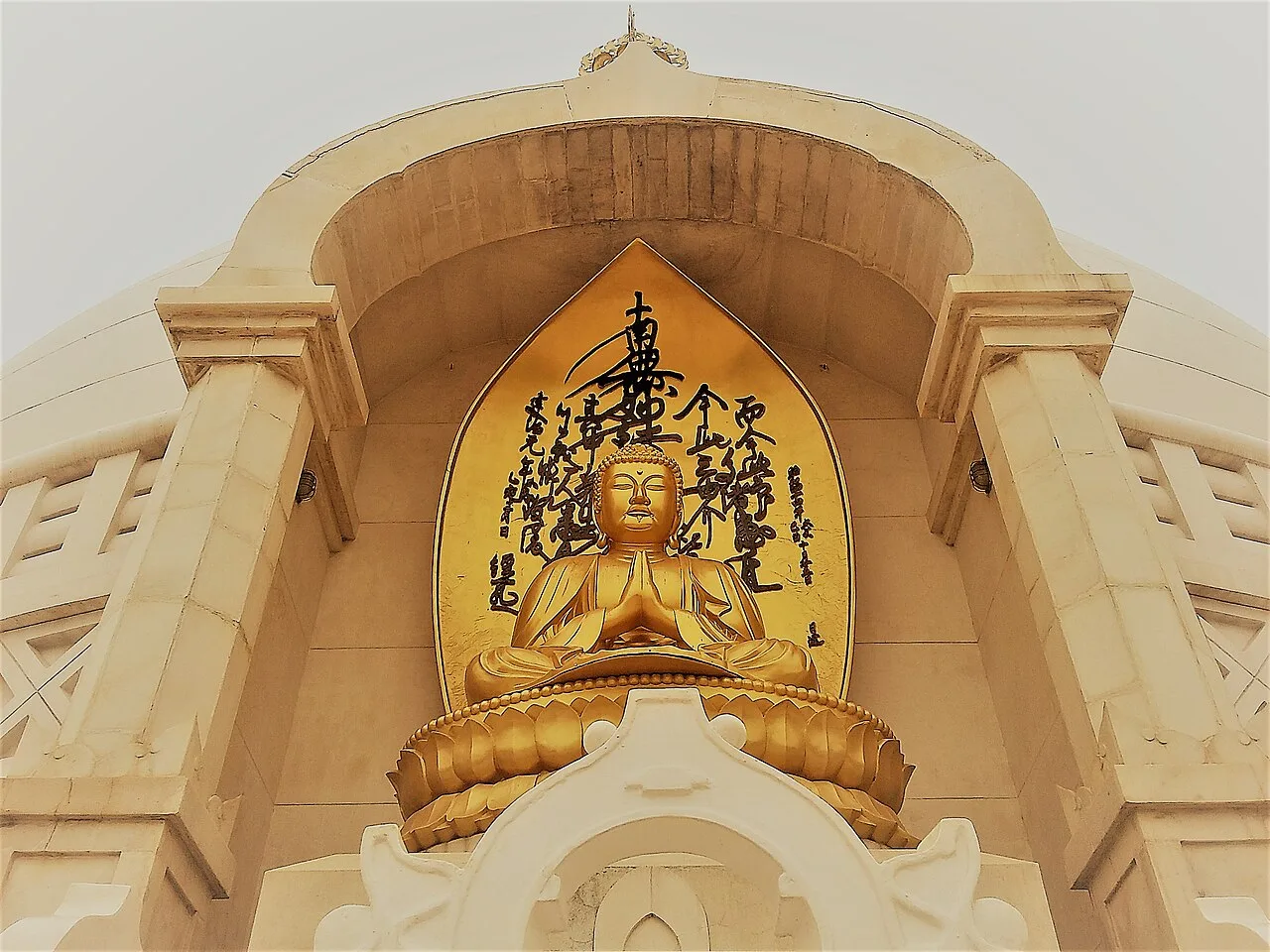
Vishwa Shanti Stupa is a white Buddhist pagoda in Rajgir, visited for its Buddha statues, nearby Japanese temple and park, and prayers for peace.

Darbhanga

195 km away · Darbhanga district

Darbhanga

Darbhanga is a major city and municipal corporation in Bihar, serving as the administrative centre of its district and division. Visitors encounter a longstanding centre of Mithila’s cultural, literary and musical traditions.

Map

Manihari on the map

  1. 1Katihar
  2. 2Vikramshila University Ruins
  3. 3Mandar Hill
  4. 4Munger Fort
  5. 5Bhimbandh Wildlife Sanctuary
  6. 6Madhubani
  7. 7Vishwa Shanti Stupa
  8. 8Darbhanga

Bihar

Other cities to explore