Ghumoopedia — Explore, Discover, Experience
Sign in
Vikramshila University Ruins, near Naugachia

City guide · Bihar

Naugachia

Naugachia is a transport and trading centre in Bhagalpur district, on the northern side of the Ganges. Its position in the Kosi basin links villages across the river plains with Bhagalpur and other towns in Bihar.

Famous for

  • Banana-growing hinterland
  • Naugachia railway station
  • Ganga–Kosi river landscape
  • Regional agricultural markets
  • Vikramshila Setu connection

Why Naugachia matters

Naugachia is a transport and trading centre in Bhagalpur district, on the northern side of the Ganges. Its position in the Kosi basin links villages across the river plains with Bhagalpur and other towns in Bihar. Agriculture underpins much of the surrounding economy, and local markets serve as an outlet for produce from the hinterland, including bananas.

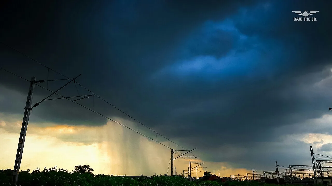
The town’s railway station, on the Barauni–Katihar line, gives it an important role in regional travel and freight movement. To the south, Vikramshila Setu carries road traffic across the Ganges to Bhagalpur, connecting highways on either side. Visitors are more likely to stop here for a journey, local market life or a view of the riverine landscape than for a large cluster of formal attractions. The surrounding Kosi plains are also shaped by seasonal flooding, so the town’s geography is central to both its opportunities and its challenges.
Famous for: crafts, trade & products

Naugachia is best understood as a market town serving an agricultural hinterland rather than as a centre for a widely documented local craft or textile tradition. Bananas are an important crop in the surrounding area and can be found through local produce markets. Grain and other seasonal farm goods also move through the town’s trading network. The main market area and shops around the station are practical places to look for everyday goods and regional produce.

There is no widely established Naugachia-specific GI-tagged product or signature handicraft to seek out. Bhagalpur silk is associated with the wider district, but Naugachia is not generally known as a silk-weaving centre; visitors interested in silk should look for specialist sellers in Bhagalpur. Local shops mainly serve residents and travellers, with clothing, household goods and food rather than a dedicated tourist craft bazaar. Ask locally about seasonal produce, since availability varies through the year.

History

Naugachia’s growth is tied more to its position on the river plains and its role as a local market than to a well-documented royal court or monumental capital. The wider region has long been shaped by settlement, farming and trade across the Ganges and Kosi plains, but a detailed sequence of rulers specifically for the town is not firmly established.

Under British colonial administration, the area was incorporated into the evolving district and transport systems of north Bihar. Rail links later strengthened Naugachia’s role as a stop for passengers and a channel for moving goods. In modern times, the railway station and road connection over Vikramshila Setu have reinforced its links with Bhagalpur and communities across the river. Naugachia remains within Bhagalpur district; calls for it to become a separate district have also surfaced in public campaigns.

Food, festivals & culture

Everyday food is broadly characteristic of Bihar: meals may include rice, lentils, seasonal vegetables and sattu-based dishes, while litti chokha is a familiar regional favourite. Sweets and snacks vary by season and household, and local markets are the easiest place to sample simple cooked food. Angika, Maithili and Hindi are heard in and around the town, reflecting its position between regional language areas.

Chhath Puja, observed mainly in autumn, is an important occasion across Bihar, with worshippers gathering at suitable riverbanks and water bodies for prayers at sunrise and sunset. Durga Puja and Diwali usually fall in autumn, while Holi brings spring celebrations; Eid is also observed by the Muslim community. Hindu temples and Muslim places of worship serve neighbourhood congregations. Family gatherings, devotional songs and local religious observances are more central to cultural life than staged performances for visitors.

Visiting the city

October to March is generally the most comfortable period to visit. Monsoon months can bring heavy rain and flooding in the surrounding Kosi basin, so check local conditions before travelling. Naugachia railway station is the town’s main rail gateway. Bhagalpur Airport is not generally used for scheduled passenger services; Deoghar Airport is a nearby air-travel option, while Patna Airport offers a broader alternative. Check current flight connections before planning.

The station area and central market are useful places to explore on foot for everyday town life and food shops. Local shared vehicles and auto-rickshaws help with short trips. Vikramshila Setu is the main road link to Bhagalpur across the Ganges. River approaches are best visited with local guidance, particularly during or after the monsoon.

Trips from the city

Nearest places to visit from Naugachia

Our closest destination guides, by straight-line distance.

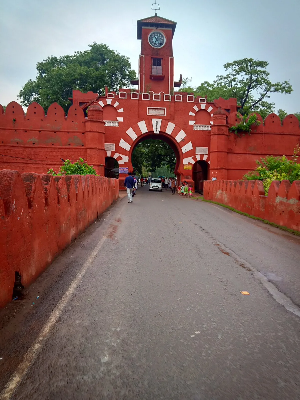
Vikramshila University Ruins

20 km away · Bhagalpur district

Vikramshila University Ruins

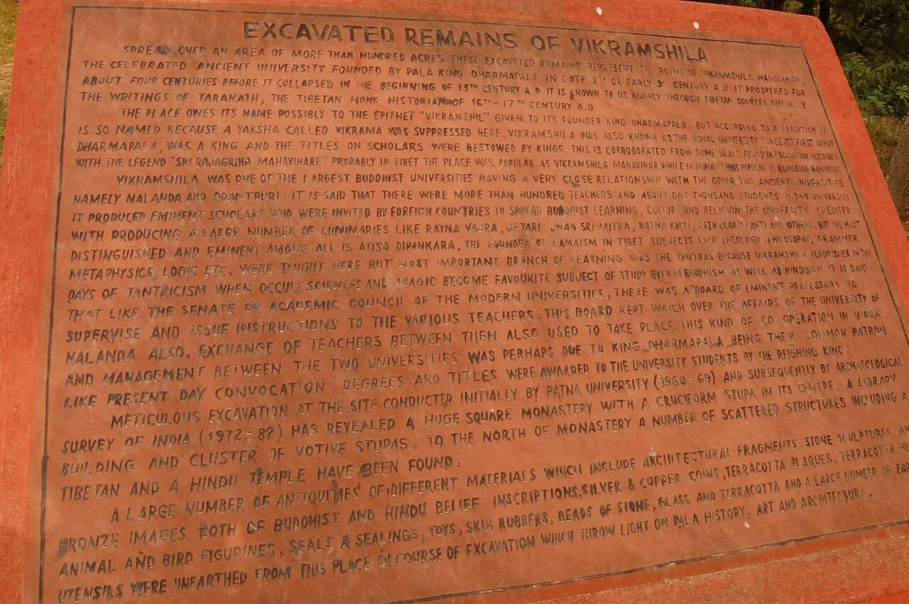
Vikramshila University Ruins mark a major Buddhist centre of learning in Bihar. Visitors come to explore the site and learn about its scholars and place in Buddhist education.

Katihar

51 km away · Purnia district

Katihar

Katihar is a major city in Bihar, known for its regional commercial, educational and administrative roles. Travellers also use it as a railway hub linking routes towards North Bengal and the north-east.

Mandar Hill

61 km away · Bhagalpur district

Mandar Hill

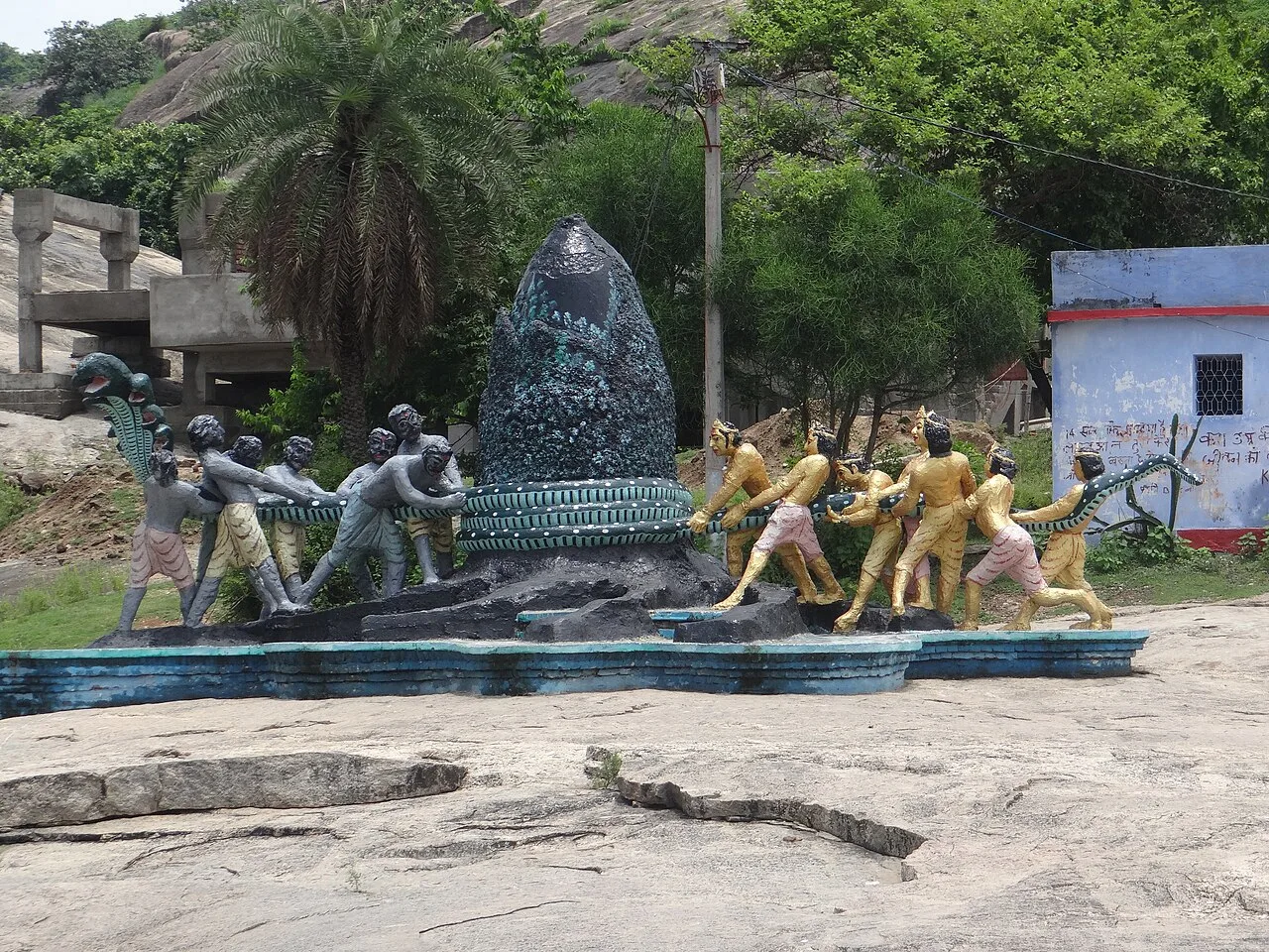
Mandar Hill, also called Mandar Parvat, is a roughly 700-foot hill at Bounsi in Bihar’s Banka district. Hindus and Jains visit it as a place of pilgrimage.

Munger Fort

64 km away · Munger district

Munger Fort

Munger Fort is a historic stronghold in Bihar, set on a rocky rise beside the Ganges. Visitors come to see its tombs, palace, temple, riverside ghat and British-era cemetery.

Bhimbandh Wildlife Sanctuary

84 km away · Munger district

Bhimbandh Wildlife Sanctuary

In Bihar’s Munger district, Bhimbandh Wildlife Sanctuary is a sanctuary devoted to wildlife. Visitors come to spend time in this wildlife-focused place in the district’s south-west.

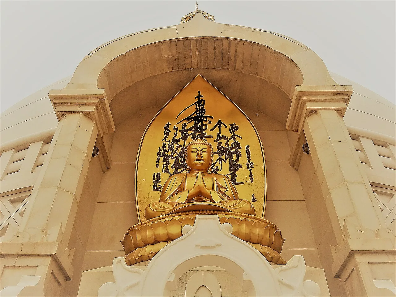
Vishwa Shanti Stupa

142 km away · Gaya district

Vishwa Shanti Stupa

Vishwa Shanti Stupa is a white Buddhist pagoda in Rajgir, visited for its Buddha statues, nearby Japanese temple and park, and prayers for peace.

Darbhanga

148 km away · Darbhanga district

Darbhanga

Darbhanga is a major city and municipal corporation in Bihar, serving as the administrative centre of its district and division. Visitors encounter a longstanding centre of Mithila’s cultural, literary and musical traditions.

Madhubani

148 km away · Madhubani district

Madhubani

Madhubani is a city in Bihar’s Mithila region and the headquarters of its district. Visitors may be drawn by its regional identity and administrative importance.

Map

Naugachia on the map

  1. 1Vikramshila University Ruins
  2. 2Katihar
  3. 3Mandar Hill
  4. 4Munger Fort
  5. 5Bhimbandh Wildlife Sanctuary
  6. 6Vishwa Shanti Stupa
  7. 7Darbhanga
  8. 8Madhubani

Bihar

Other cities to explore