Ghumoopedia — Explore, Discover, Experience
Sign in
Madhubani, near Nirmali

City guide · Bihar

Nirmali

Nirmali is a small town in Supaul district, in the north-eastern part of Bihar, within the broader cultural region of Mithila. Its importance is chiefly regional: it serves nearby communities and farms, with local trade and services centred on the town.

Famous for

  • Kosi river landscape
  • Ring dam setting
  • Rice-growing heritage
  • Supaul district town

Why Nirmali matters

Nirmali is a small town in Supaul district, in the north-eastern part of Bihar, within the broader cultural region of Mithila. Its importance is chiefly regional: it serves nearby communities and farms, with local trade and services centred on the town. Rice cultivation has long been part of the area’s identity, and the surrounding low-lying landscape reflects the close relationship between settlement and agriculture in this part of the state.

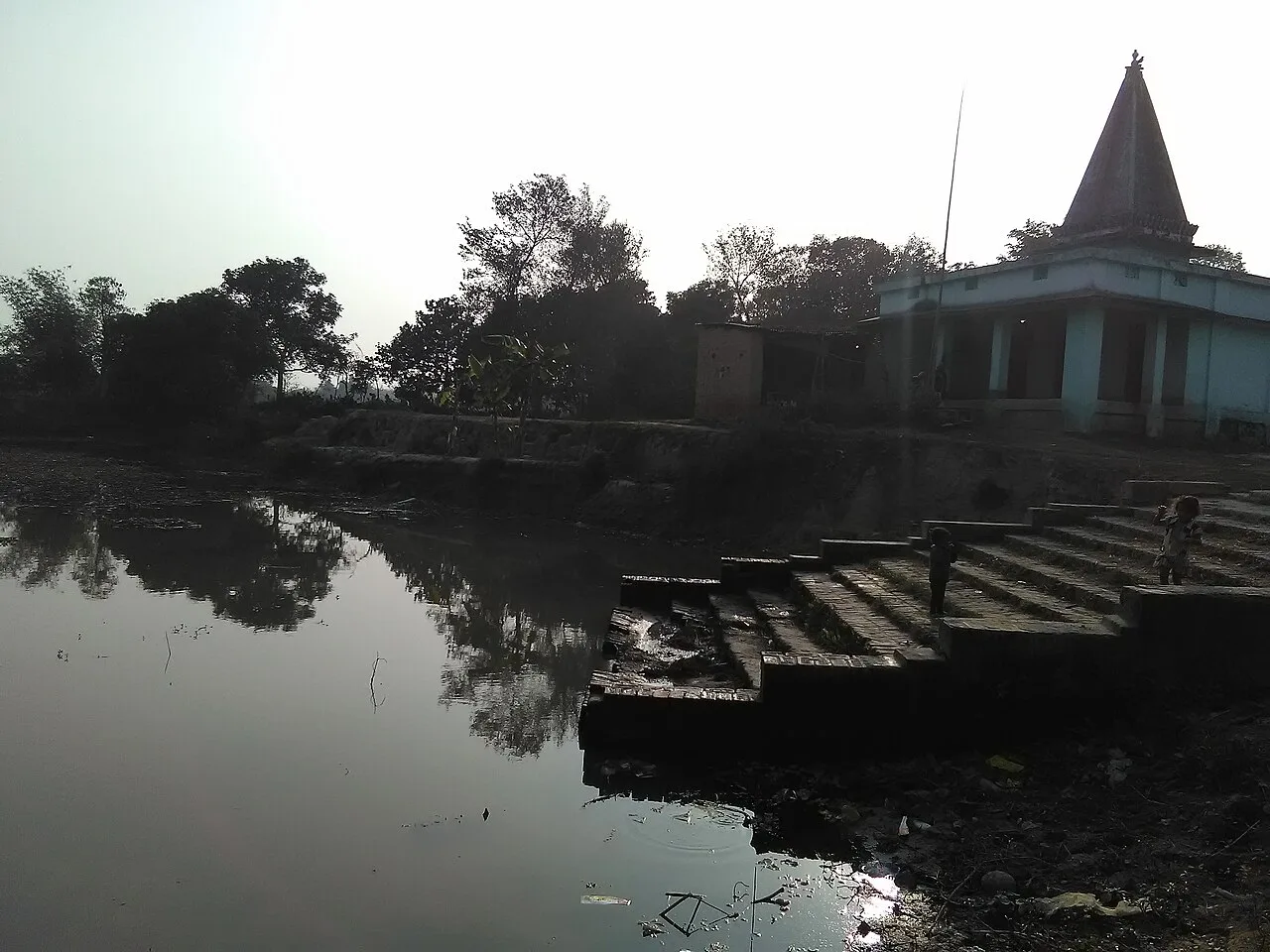
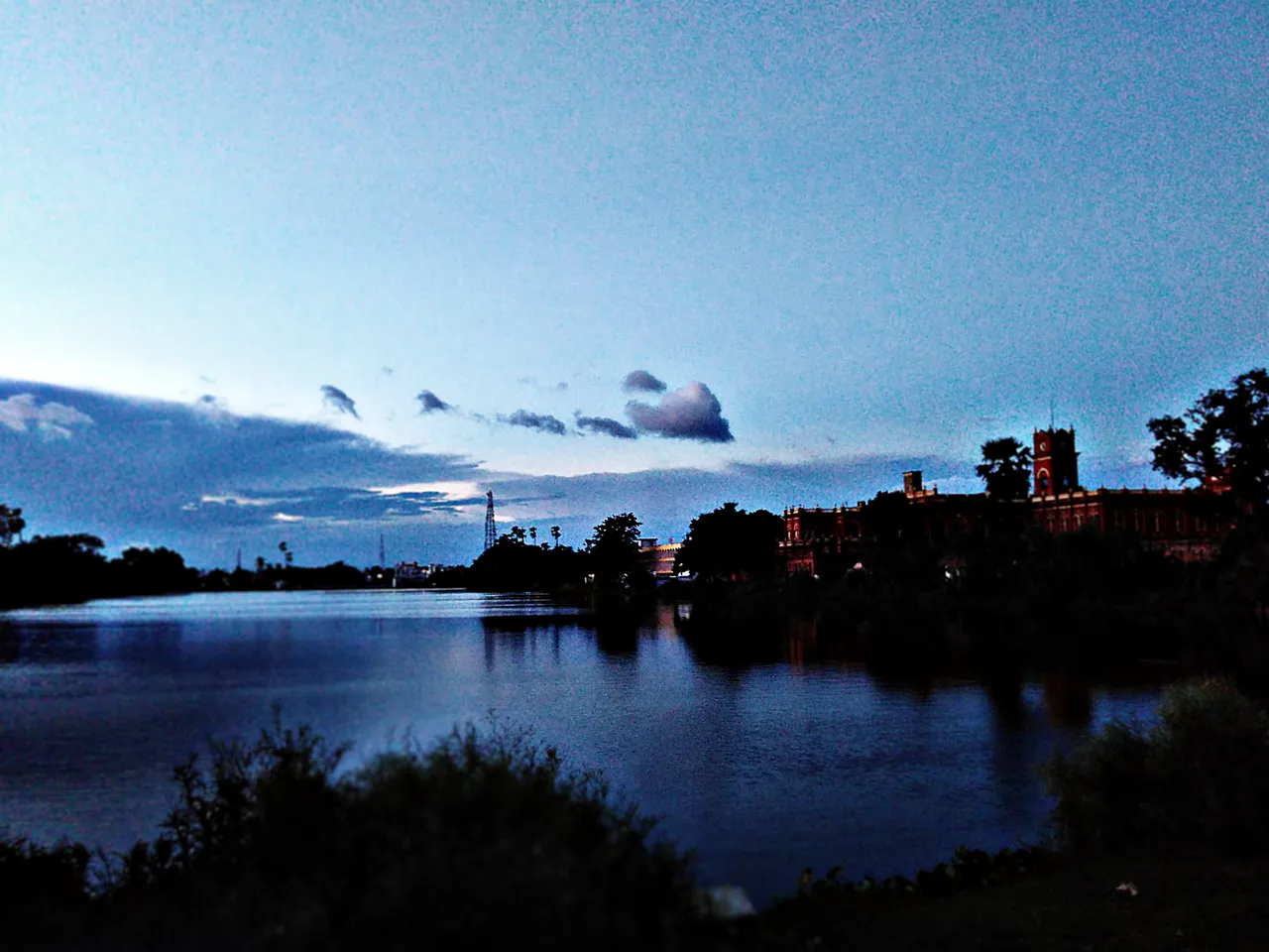
The town’s setting is also shaped by water. Nirmali is enclosed by a ring dam and lies near the Kosi and Balaan rivers, making river geography central to its character and to local concerns about flooding. The Kosi’s changing course has repeatedly influenced the wider region; in 2008 it returned to an older channel near the India–Nepal border. Visitors are more likely to come for a glimpse of everyday life in rural north Bihar, its agricultural surroundings and the distinctive riverine landscape than for a large collection of formal attractions. Nirmali is best approached as a practical local centre and a point from which to understand the Kosi basin.
Famous for: crafts, trade & products

Nirmali is not widely identified with a particular textile, handicraft, GI-tagged product or large-scale industry. Its better-known economic association is with the agricultural landscape around it, especially rice cultivation. Local shops and markets mainly serve residents and nearby villages, offering everyday goods and farm-related trade rather than a specialist shopping district. The town centre and market lanes are the most practical places to look for local produce and routine necessities.

Visitors should not expect a dedicated craft bazaar or a reliably branded regional product. Rice and other seasonal agricultural goods are part of the local economy, but availability varies with harvests and market conditions. For a more distinctive range of Mithila-region crafts and products, travellers may need to explore larger towns in the region. In Nirmali, the useful experience is observing how a small district town connects surrounding rural settlements with shops, services and transport. The ring dam and nearby river corridors are defining features of the area, but they are landscape landmarks rather than commercial attractions; access and conditions can change, especially during the monsoon.

History

Nirmali’s development is closely tied to the riverine plains of north Bihar and to the agricultural settlements around the Kosi and Balaan rivers. The available local picture is more strongly defined by geography and regional trade than by a documented sequence of royal capitals or major monuments. The town grew as a service and market centre for its surrounding rural area, where rice cultivation has been an important part of livelihoods.

The Kosi has repeatedly altered the landscape and affected settlement patterns. On 18 August 2008, the river resumed an older course that it had left more than a century earlier, near the India–Nepal border. This event underscored how river shifts can reshape life across the region. Nirmali is now a notified area in Supaul district. Its ring dam reflects the importance of managing water and protecting settlement in a flood-prone landscape. Specific accounts of local rulers or colonial-era milestones are not central to the town’s commonly established history; its story is best understood through its changing river environment, agriculture and role as a local centre.

Food, festivals & culture

Daily life in Nirmali reflects the foodways and customs of north Bihar. Rice, lentils and seasonal vegetables are familiar staples; local eateries and homes may also serve well-known Bihar dishes such as litti and chokha. Menus and sweets vary by season and household, so the town is not especially associated with a single signature dish. Maithili and Hindi are commonly used in the wider area, alongside other languages spoken by local communities.

Chhath, observed in autumn and again in spring, is an important festival across Bihar, with worship and offerings connected to the sun and water. Holi in spring and Diwali in autumn are also widely celebrated, while Eid is observed by Muslim residents. Maithili folk songs and devotional music form part of family and seasonal gatherings; performance traditions are generally community-based rather than staged for visitors. Places of worship include local temples and mosques, but Nirmali is not chiefly known as a pilgrimage destination. The nearby rivers make water and the seasons especially visible parts of local life, though riverbanks should be approached with care.

Visiting the city

The cooler months, roughly October to March, are generally the most comfortable time to visit. Monsoon travel can be affected by heavy rain and changing river conditions, so check local advice before heading towards the Kosi or Balaan. Darbhanga Airport is the nearest major airport in India. Nirmali has its own railway station; Darbhanga Junction is a larger rail hub for broader connections.

Within town, auto-rickshaws and other local vehicles are useful for short trips, while walking suits the central market area. The town centre and market lanes offer a look at everyday commerce, and the station area is a practical orientation point. The ring dam and nearby river corridors help explain Nirmali’s landscape, but access may be limited or unsafe during high water. Ask locally about current conditions and use established roads rather than approaching exposed riverbanks.

Trips from the city

Nearest places to visit from Nirmali

Our closest destination guides, by straight-line distance.

Madhubani

51 km away · Madhubani district

Madhubani

Madhubani is a city in Bihar’s Mithila region and the headquarters of its district. Visitors may be drawn by its regional identity and administrative importance.

Darbhanga

70 km away · Darbhanga district

Darbhanga

Darbhanga is a major city and municipal corporation in Bihar, serving as the administrative centre of its district and division. Visitors encounter a longstanding centre of Mithila’s cultural, literary and musical traditions.

Munger Fort

105 km away · Munger district

Munger Fort

Munger Fort is a historic stronghold in Bihar, set on a rocky rise beside the Ganges. Visitors come to see its tombs, palace, temple, riverside ghat and British-era cemetery.

Sitamarhi

112 km away · Sitamarhi district

Sitamarhi

Sitamarhi is a city in Bihar’s Tirhut Division and the administrative centre of its district. Visitors are drawn by the Hindu tradition linking it to Sītā’s birth.

Bhimbandh Wildlife Sanctuary

124 km away · Munger district

Bhimbandh Wildlife Sanctuary

In Bihar’s Munger district, Bhimbandh Wildlife Sanctuary is a sanctuary devoted to wildlife. Visitors come to spend time in this wildlife-focused place in the district’s south-west.

Vikramshila University Ruins

131 km away · Bhagalpur district

Vikramshila University Ruins

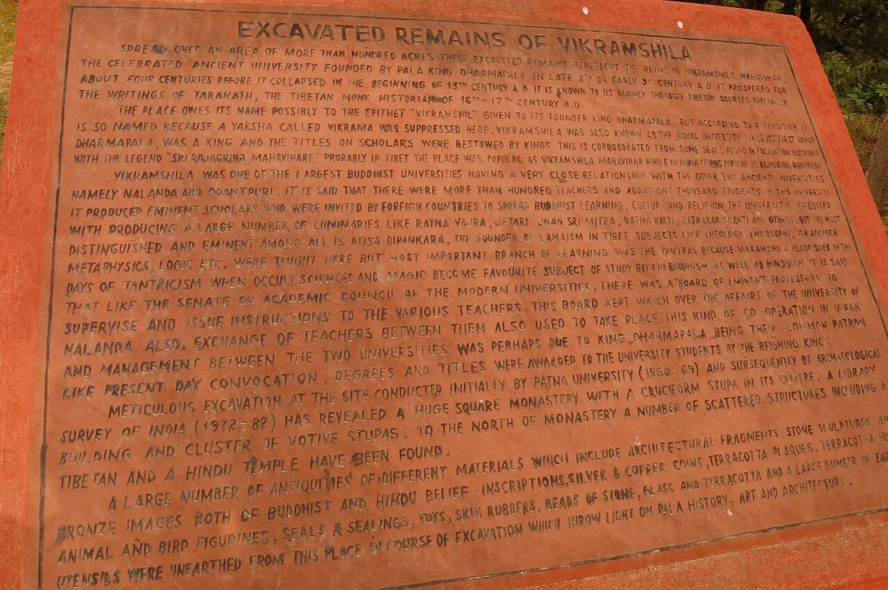
Vikramshila University Ruins mark a major Buddhist centre of learning in Bihar. Visitors come to explore the site and learn about its scholars and place in Buddhist education.

Katihar

132 km away · Purnia district

Katihar

Katihar is a major city in Bihar, known for its regional commercial, educational and administrative roles. Travellers also use it as a railway hub linking routes towards North Bengal and the north-east.

Vaishali

151 km away · Vaishali district

Vaishali

Vaishali is an archaeological site in Bihar associated with an ancient republic and important events in Buddhist and Jain history. Visitors come to see its stupas and Ashokan pillar and to explore these religious connections.

Map

Nirmali on the map

  1. 1Madhubani
  2. 2Darbhanga
  3. 3Munger Fort
  4. 4Sitamarhi
  5. 5Bhimbandh Wildlife Sanctuary
  6. 6Vikramshila University Ruins
  7. 7Katihar
  8. 8Vaishali

Bihar

Other cities to explore