Ghumoopedia — Explore, Discover, Experience
Sign in
Munger Fort, near Saharsa

City guide · Bihar

Saharsa

Saharsa is an administrative and transport centre in eastern Bihar, serving as the headquarters of Saharsa District and the Kosi Division. Its position in the Kosi basin connects the city with a broad, fertile agricultural region, while Saharsa Junction and nearby highways make it an important point of travel across north Bihar.

Famous for

  • Makhana and maize
  • Kosi river basin
  • Maithili language
  • Mithila heritage
  • Saharsa Junction

Why Saharsa matters

Saharsa is an administrative and transport centre in eastern Bihar, serving as the headquarters of Saharsa District and the Kosi Division. Its position in the Kosi basin connects the city with a broad, fertile agricultural region, while Saharsa Junction and nearby highways make it an important point of travel across north Bihar. Visitors come for a glimpse of Mithila’s living culture and for the city’s markets and regional food as well as to meet family or conduct business.

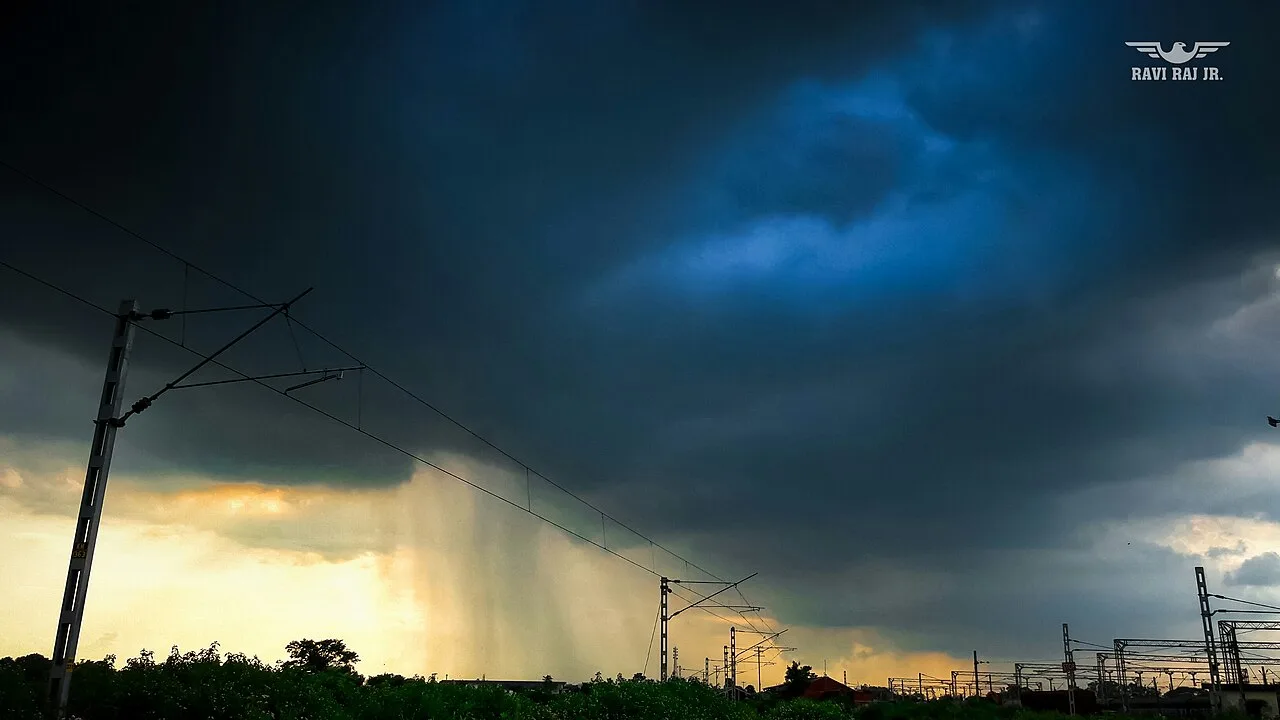
The surrounding countryside is known for growing maize and makhana, or fox nuts, both important products in local trade. Saharsa is also associated with rice, mangoes, litchis, mustard and other crops. The city’s setting is shaped by the Kosi: its alluvial plains support farming, but seasonal floods can disrupt travel and daily life. Maithili is widely spoken alongside Hindi, giving Saharsa a strong connection to the wider Mithila region. It is best understood as a working regional city, with agricultural commerce, administration and rail travel at its core.
Famous for: crafts, trade & products

Saharsa’s best-known products are agricultural rather than textile or craft goods. Maize and makhana are major parts of the local economy, and trade in these crops connects the district with markets beyond Bihar. Rice, mustard, wheat, sugarcane, mangoes and litchis are also grown in the wider area. Makhana is sold as a dried food and used in regional cooking; visitors can look for it, along with seasonal produce, in the city’s general markets and food shops. Availability varies with harvests and local supply.

The city is not especially known for a distinct saree tradition, a signature handicraft or a widely recognised GI-tagged product. Its commercial character is more closely tied to farm produce, wholesale and retail trade, and services for the surrounding district. Saharsa’s central market areas are the most practical places to browse for everyday goods and local foods, while the station district serves travellers and nearby residents. The district administration and Saharsa Junction are prominent institutions, reflecting the city’s role as a regional service and transport hub.

History

Saharsa’s deeper history is connected with Mithila, a region associated with the ancient Videha Kingdom. In late Vedic times, Videha became an important political and cultural centre, and its rulers were known as Janakas. The kingdom was later incorporated into the Vajjika League, whose capital was at Vaishali. These are histories of the wider region rather than evidence that Saharsa itself was an ancient capital.

Under British colonial rule, the area formed part of the changing administrative landscape of north Bihar. In the modern period, Saharsa developed as a district headquarters and a centre for public services and trade. Its growth was strengthened by rail connections, which linked the city with other parts of Bihar and the wider railway network. A broad-gauge connection to Khagaria was established in 2005, improving access to the main line. Today, Saharsa is also the headquarters of the Kosi Division. Its development remains closely tied to farming, transport and the challenges of living in a flood-prone river basin.

Food, festivals & culture

Maithili is the regional language of Saharsa, and Hindi is also widely understood and spoken. Everyday culture reflects the wider Mithila region, with family customs, folk songs and seasonal celebrations shaping community life. Maithili songs are heard at festivals and family occasions; traditional forms include songs associated with marriage, birth and the changing seasons. Local religious life includes temples and shrines, alongside places of worship serving the city’s diverse communities.

Food draws on the crops of the surrounding plains. Rice, seasonal vegetables and pulses are common, while fish and makhana appear in regional cooking. Makhana may be roasted or prepared in richer dishes, and local markets offer seasonal fruit such as mangoes and litchis when available. Chhath, observed in autumn, is an important festival across Bihar and is marked by prayers and offerings near water. Durga Puja, Diwali and Holi are also widely celebrated; Sama-Chakeva, a traditional Mithila festival, is observed in the cooler season. Customs and dishes can vary between households.

Visiting the city

The cooler, generally drier months from October to March are often the most comfortable for visiting. Monsoon-season travel can be affected by Kosi flooding, so check local conditions before setting out. Darbhanga Airport is the nearest operational airport, roughly 97 km away by road. Saharsa Junction is the city’s main railway station, with rail links to destinations including Patna, Delhi and Kolkata.

Auto-rickshaws and cycle-rickshaws are useful for getting around the city; local buses and road services connect Saharsa with nearby towns. The central market is a good area to browse for produce and everyday local life, while the station district is convenient for transport and services. The administrative centre offers a sense of the city’s regional role. For a broader view of Mithila’s agricultural landscape, visitors can explore nearby rural areas, allowing extra time during periods of heavy rain or flooding.

Trips from the city

Nearest places to visit from Saharsa

Our closest destination guides, by straight-line distance.

Munger Fort

57 km away · Munger district

Munger Fort

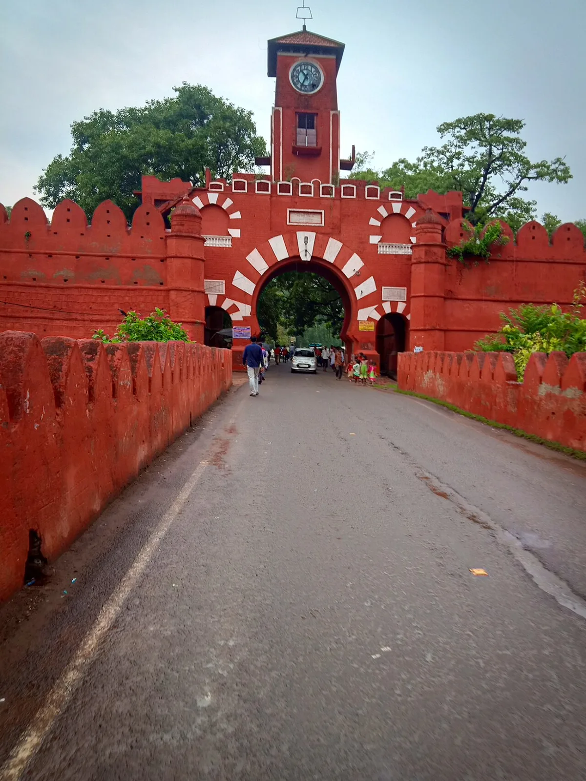
Munger Fort is a historic stronghold in Bihar, set on a rocky rise beside the Ganges. Visitors come to see its tombs, palace, temple, riverside ghat and British-era cemetery.

Madhubani

75 km away · Madhubani district

Madhubani

Madhubani is a city in Bihar’s Mithila region and the headquarters of its district. Visitors may be drawn by its regional identity and administrative importance.

Darbhanga

77 km away · Darbhanga district

Darbhanga

Darbhanga is a major city and municipal corporation in Bihar, serving as the administrative centre of its district and division. Visitors encounter a longstanding centre of Mithila’s cultural, literary and musical traditions.

Bhimbandh Wildlife Sanctuary

78 km away · Munger district

Bhimbandh Wildlife Sanctuary

In Bihar’s Munger district, Bhimbandh Wildlife Sanctuary is a sanctuary devoted to wildlife. Visitors come to spend time in this wildlife-focused place in the district’s south-west.

Vikramshila University Ruins

92 km away · Bhagalpur district

Vikramshila University Ruins

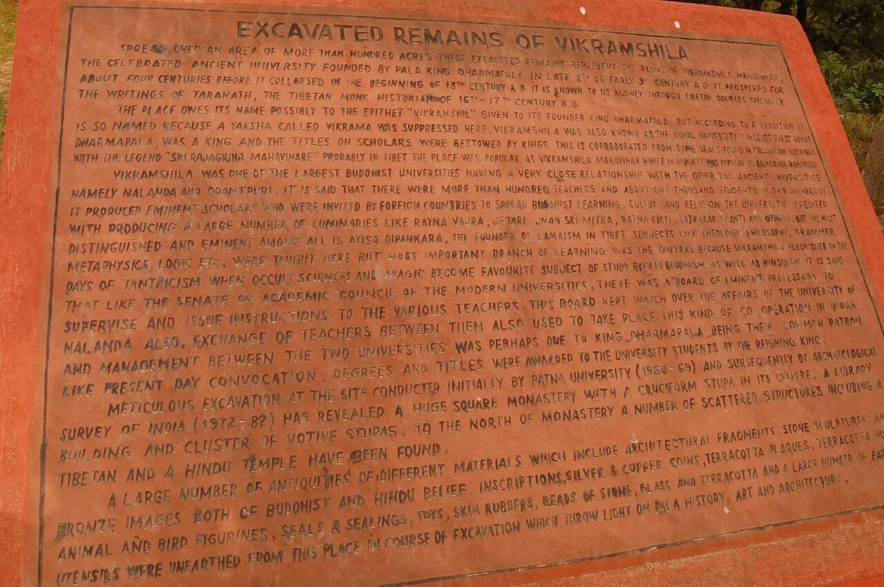
Vikramshila University Ruins mark a major Buddhist centre of learning in Bihar. Visitors come to explore the site and learn about its scholars and place in Buddhist education.

Katihar

106 km away · Purnia district

Katihar

Katihar is a major city in Bihar, known for its regional commercial, educational and administrative roles. Travellers also use it as a railway hub linking routes towards North Bengal and the north-east.

Mandar Hill

123 km away · Bhagalpur district

Mandar Hill

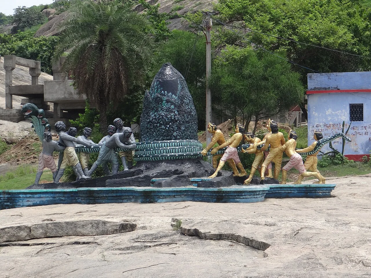
Mandar Hill, also called Mandar Parvat, is a roughly 700-foot hill at Bounsi in Bihar’s Banka district. Hindus and Jains visit it as a place of pilgrimage.

Vishwa Shanti Stupa

128 km away · Gaya district

Vishwa Shanti Stupa

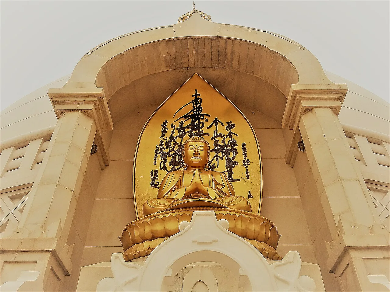
Vishwa Shanti Stupa is a white Buddhist pagoda in Rajgir, visited for its Buddha statues, nearby Japanese temple and park, and prayers for peace.

Map

Saharsa on the map

  1. 1Munger Fort
  2. 2Madhubani
  3. 3Darbhanga
  4. 4Bhimbandh Wildlife Sanctuary
  5. 5Vikramshila University Ruins
  6. 6Katihar
  7. 7Mandar Hill
  8. 8Vishwa Shanti Stupa

Bihar

Other cities to explore