Ghumoopedia — Explore, Discover, Experience
Sign in
Ganjad (Warli Village), near Vada

City guide · Maharashtra

Vada

Wada is an inland town in Palghar district and the administrative centre of one of the district’s talukas. Its importance comes from serving nearby villages while linking the Konkan hinterland with larger centres such as Bhiwandi, Kalyan and Thane.

Famous for

  • Wada Kolam rice
  • Kohoj Fort
  • Vaitarna and Pinjal rivers
  • Palghar's industrial hinterland
  • Three town lakes
Plan a tripHotels near Vada

Why Vada matters

Wada is an inland town in Palghar district and the administrative centre of one of the district’s talukas. Its importance comes from serving nearby villages while linking the Konkan hinterland with larger centres such as Bhiwandi, Kalyan and Thane. Industry and agriculture both shape the local economy: Wada is among Palghar district’s more industrialised talukas, while its rural surroundings remain closely connected to cultivation and local trade.

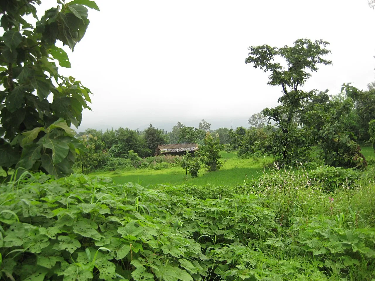
The landscape is a draw in its own right. The Vaitarna and Pinjal rivers run through the wider area, and three lakes sit within Wada town. Nearby, Kohoj Fort rises above the countryside near Vaghote and Kanchad, offering a rewarding outing for visitors interested in historic sites and hill scenery. Wada is best approached as a working regional town rather than a conventional resort: its appeal lies in the mix of everyday market life, river country, local rice and accessible excursions into the surrounding landscape.
Famous for: crafts, trade & products

Wada is particularly associated with Wada Kolam rice, a locally grown variety that has received a Geographical Indication tag. Rice cultivation is part of the agricultural life of the surrounding villages, and visitors can look for locally labelled Wada Kolam at shops and agricultural markets in town. The product is a stronger local identifier than a distinctive textile or handicraft tradition.

Industry is another part of Wada’s identity. Manufacturing and other industrial activity have expanded in the taluka, making the town an important employment and trading centre for its hinterland. Local shops and markets serve residents from Wada and nearby villages with food, household goods and farm-related supplies. Rather than a specialised shopping district, the town’s commercial life is centred on everyday retail and trade. Visitors interested in regional products can ask vendors about the origin of rice and other farm goods; labels and sellers can help distinguish locally produced items from goods brought in from elsewhere. Wada’s combination of agricultural trade and industry gives it a practical, locally focused character.

History

Wada’s history is closely tied to the inland Konkan, where settlements grew around farming, village networks and routes connecting the coast with the Deccan. The surrounding landscape includes Kohoj Fort, near Vaghote and Kanchad, a reminder of the area’s strategic hill country; it is a prominent historic landmark, though the town is not chiefly known as a former royal capital. The wider region experienced changing regional powers, including Maratha influence, before coming under British administration.

During the colonial period Wada was part of Thane district. It remained connected to Thane district after independence, as administration and transport links developed across the region. In 2014, Palghar district was created from the northern part of Thane district, and Wada became one of its talukas. In recent decades, industrial growth has added a new dimension to the town’s role, alongside its longstanding connections to surrounding agricultural villages and local markets.

Food, festivals & culture

Everyday food in Wada reflects inland Konkan and Maharashtrian cooking. Rice is central to meals, often served with lentils, seasonal vegetables and locally prepared chutneys or pickles. Fish and coconut-based dishes are familiar across the wider region, while sweets such as modak are especially associated with festive meals. Wada Kolam rice is also part of the area’s food identity, valued as a local agricultural product.

Marathi is the main language of public life; Hindi and languages spoken in nearby Adivasi communities are also heard across the area. Ganesh Chaturthi, usually in the monsoon season, and Diwali in autumn are widely observed, alongside Gudi Padwa in spring and Holi near the end of winter. In Warli communities in the surrounding region, Tarpa music and dance are important parts of community celebrations. Town temples and village shrines provide places for worship, while festivals and market days bring residents together in a largely local, community-centred social life.

Visiting the city

The cooler, drier months from October to February are generally the most comfortable for visiting. The monsoon brings greener scenery and fuller rivers, but also heavier rain and potentially slower road journeys. Mumbai’s Chhatrapati Shivaji Maharaj International Airport is the main air gateway. For rail travel, Khadavli is a nearby station; Kalyan Junction is a larger interchange with broader connections. From either, continue by road to Wada.

Buses and private vehicles connect Wada with towns including Bhiwandi, Kalyan and Thane. Within town, local transport and hired vehicles are useful for reaching the lakes and outlying villages. Explore the town centre and its markets, then consider the river landscapes and Kohoj Fort near Vaghote and Kanchad. Fort visits involve a walk and are best planned in daylight, with suitable footwear and attention to local conditions.

Trips from the city

Nearest places to visit from Vada

Our closest destination guides, by straight-line distance.

Ganjad (Warli Village)

44 km away · Palghar district

Ganjad (Warli Village)

Ganjad is identified as a Warli village in Dahanu taluka, Palghar district, Maharashtra. People interested in places bearing the Warli village designation may wish to visit.

Sanjay Gandhi National Park

51 km away · Mumbai Suburban district

Sanjay Gandhi National Park

Covering 103.84 square kilometres in Mumbai, Sanjay Gandhi National Park is a protected area in Maharashtra. More than two million people visit it each year.

Trimbakeshwar Temple

51 km away · Nashik district

Trimbakeshwar Temple

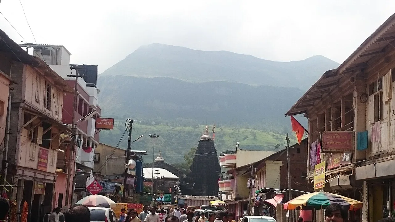
Trimbakeshwar Temple is a Shiva shrine in Maharashtra’s Nashik district and one of the twelve jyotirlingas. Visitors come to worship, perform Hindu rites and connect with the Godavari’s beginnings.

Kanheri Caves

56 km away · Mumbai Suburban district

Kanheri Caves

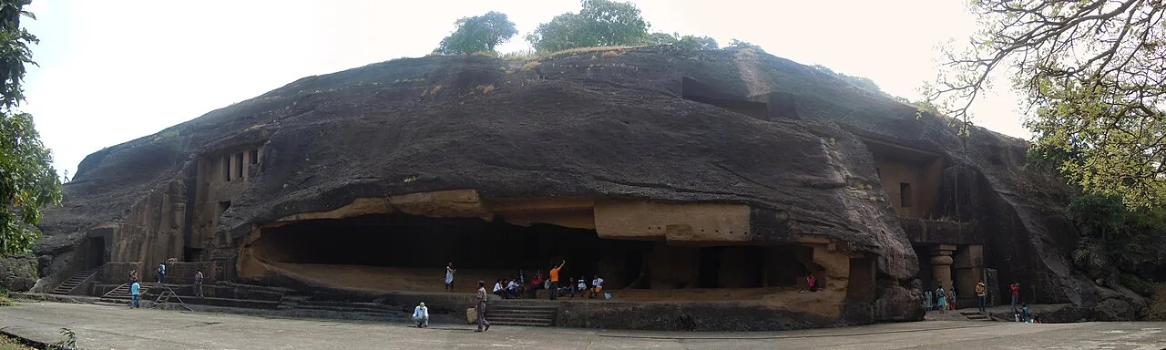
Kanheri Caves is a Buddhist monastic complex carved into a basalt hillside in Mumbai’s Sanjay Gandhi National Park. Visitors explore its caves, worship halls, sculptures and ancient water systems.

Global Vipassana Pagoda

59 km away · Mumbai Suburban district

Global Vipassana Pagoda

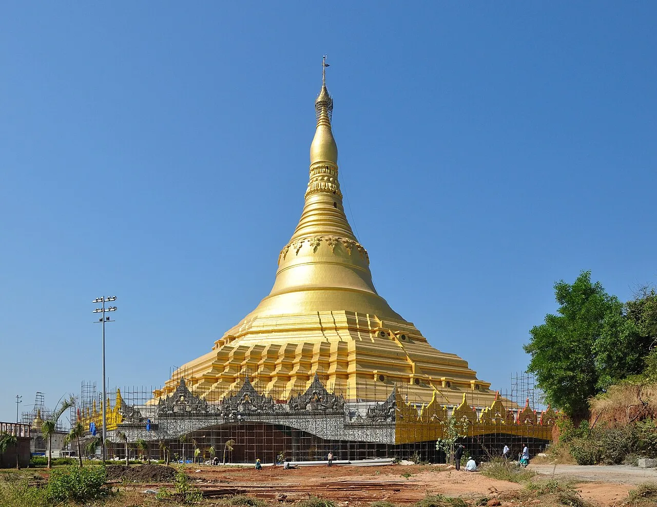
The Global Vipassana Pagoda is a large meditation centre near Gorai in north-west Mumbai. Visitors come to learn about Vipassana and the Buddha’s teachings, and to see its Burmese-inspired architecture.

Powai Lake

63 km away · Mumbai Suburban district

Powai Lake

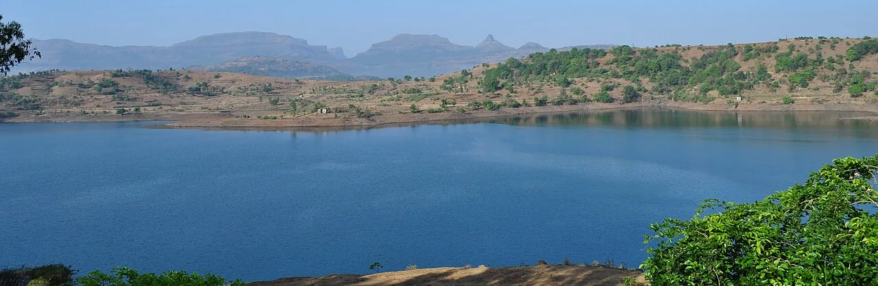
An artificial lake in Mumbai’s Powai suburb, Powai Lake is a popular local attraction, with major educational institutions and urban neighbourhoods nearby.

Bhandardara

65 km away · Ahilyanagar district

Bhandardara

Bhandardara is a village in Maharashtra’s Ahilyanagar district, beside the Pravara River in the Western Ghats. Visitors come for Wilson Dam and Arthur Lake, as well as nearby forts and Mount Kalsubai.

Juhu Beach

70 km away · Mumbai Suburban district

Juhu Beach

Juhu is a coastal Mumbai suburb on Salsette Island, best known for its beach. People visit the shore, and the neighbourhood is also associated with Bollywood residents.

Map

Vada on the map

  1. 1Ganjad (Warli Village)
  2. 2Sanjay Gandhi National Park
  3. 3Trimbakeshwar Temple
  4. 4Kanheri Caves
  5. 5Global Vipassana Pagoda
  6. 6Powai Lake
  7. 7Bhandardara
  8. 8Juhu Beach

Maharashtra

Other cities to explore