Ghumoopedia — Explore, Discover, Experience
Sign in
Deo, near Obra

City guide · Bihar

Obra

Obra is a small town in Aurangabad district, about 15 km from the district headquarters and on NH-139, the road linking Patna and Aurangabad. Its position gives it a practical role as a local service and market centre for surrounding villages, as well as a stopping point on a regional road journey.

Famous for

  • Punpun–Adri river setting
  • Fertile Son-plain farmland
  • NH-139 roadside market
  • Chhath Puja traditions
  • Rural Aurangabad gateway
Plan a tripHotels near Obra

Why Obra matters

Obra is a small town in Aurangabad district, about 15 km from the district headquarters and on NH-139, the road linking Patna and Aurangabad. Its position gives it a practical role as a local service and market centre for surrounding villages, as well as a stopping point on a regional road journey. The wider block includes many rural settlements, and agriculture remains central to life in the area.

The landscape is one of Obra’s defining features. The town lies on the fertile plain associated with the Son River, with the Punpun and Adri rivers shaping the surrounding countryside. Fields, river corridors and open rural views offer a quieter contrast to larger towns in Bihar. Visitors are more likely to come for local connections, countryside and regional travel than for a major monument or a specialised tourist attraction. Obra is best approached as a working small town and a base for experiencing the everyday rhythms of the Aurangabad region.
Famous for: crafts, trade & products

Obra is not widely associated with a distinctive textile, handicraft or GI-tagged product. Its local identity is more closely tied to farming and the everyday exchange of goods between the town and nearby villages. The fertile plains around the Son support cultivation, and local shops and market areas serve residents with household necessities and farm-related supplies. Produce and goods available can vary by season and by market day, so visitors should ask locally about current availability.

For a sense of local trade, explore the bazaar and commercial stretches near NH-139, where small retailers and service businesses cater to commuters and surrounding communities. These are practical places to look for everyday regional snacks and provisions, rather than curated craft shopping. Obra also functions as a block-level centre, connecting rural settlements with services and transport. Travellers seeking established craft clusters, branded regional textiles or recognised specialty foods will generally find a wider selection in larger cities; Obra’s appeal lies instead in its agricultural setting and modest, locally focused commerce.

History

Obra sits within the wider Magadh region, a landscape with a long history in eastern India. That regional background should not be confused with a well-documented town-specific account: detailed records identifying particular rulers, monuments or founding events in Obra are not readily established. The settlement’s setting among river plains and farming villages has, over time, made agriculture and local exchange important to its development.

During the colonial period, the area formed part of the wider administrative landscape of Bihar, but there is limited basis for assigning Obra a distinct role in particular colonial events. Its more visible modern growth has been as a small town serving nearby villages and as a centre within the present-day block. Road access along NH-139 has strengthened its connection with Aurangabad and other regional destinations. Today, Obra’s importance is chiefly practical and local: administration, services, trade and transport for a predominantly rural hinterland.

Food, festivals & culture

Daily life in Obra reflects the agricultural and small-town culture of southern Bihar. Hindi is widely used, while Magahi is common in the broader region and in informal conversation. Home cooking draws on familiar Bihar staples such as rice, lentils, seasonal vegetables and sattu-based dishes; litti chokha is also part of the wider regional food repertoire. Thekua is associated with Chhath observances, though food traditions vary from household to household.

Chhath, celebrated mainly in autumn and again in spring, is an important festival across the region, with devotees gathering near water to offer prayers to the Sun. Holi, Diwali, Durga Puja and Eid are also observed by local communities. Folk songs and devotional music are heard especially during festivals and family occasions. Worship is often centred on neighbourhood temples, mosques and household practice; riverbanks become particularly significant during Chhath.

Visiting the city

The cooler months, roughly from October to March, are generally the most comfortable for exploring Obra and the surrounding countryside. Summer can be very hot, while monsoon rain may affect rural roads and outdoor plans. Gaya International Airport is a nearby option; Patna’s airport is another choice for travellers connecting through Bihar’s capital. Anugraha Narayan Road is the main railway station commonly used for access to the Aurangabad area, with onward travel by road.

Within Obra, local taxis, auto-rickshaws and other shared road transport may be available; confirm onward options locally. The bazaar and NH-139 corridor show the town’s everyday commercial life. For a rural landscape visit, explore the river-side surroundings or countryside toward Deokali with local guidance, taking care around water and agricultural land. Obra is best suited to a brief stop or a base for nearby connections rather than a monument-focused itinerary.

Trips from the city

Nearest places to visit from Obra

Our closest destination guides, by straight-line distance.

Deo

26 km away · Aurangabad district

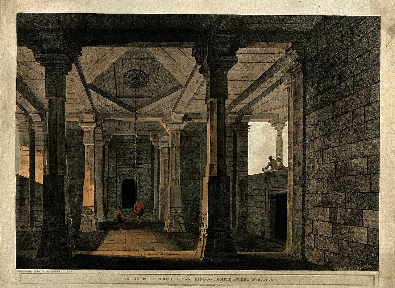
Deo

Deo, also called Dev, is a town and local civic area in Bihar’s Aurangabad district. Visitors seeking the settlement can find it about 10 km southeast of Aurangabad, the district’s administrative centre.

Tomb of Sher Shah Suri

37 km away · Rohtas district

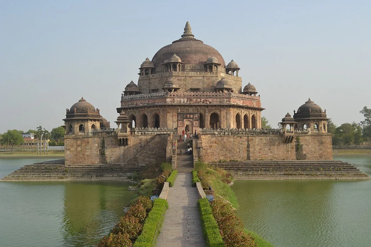
Tomb of Sher Shah Suri

Sher Shah Suri’s mausoleum in Sasaram, Bihar, is noted for its lake setting and distinctive octagonal form. Visitors come to see a major example of Indo-Islamic architecture and an important monument of the region.

Rohtas Fort

55 km away · Rohtas district

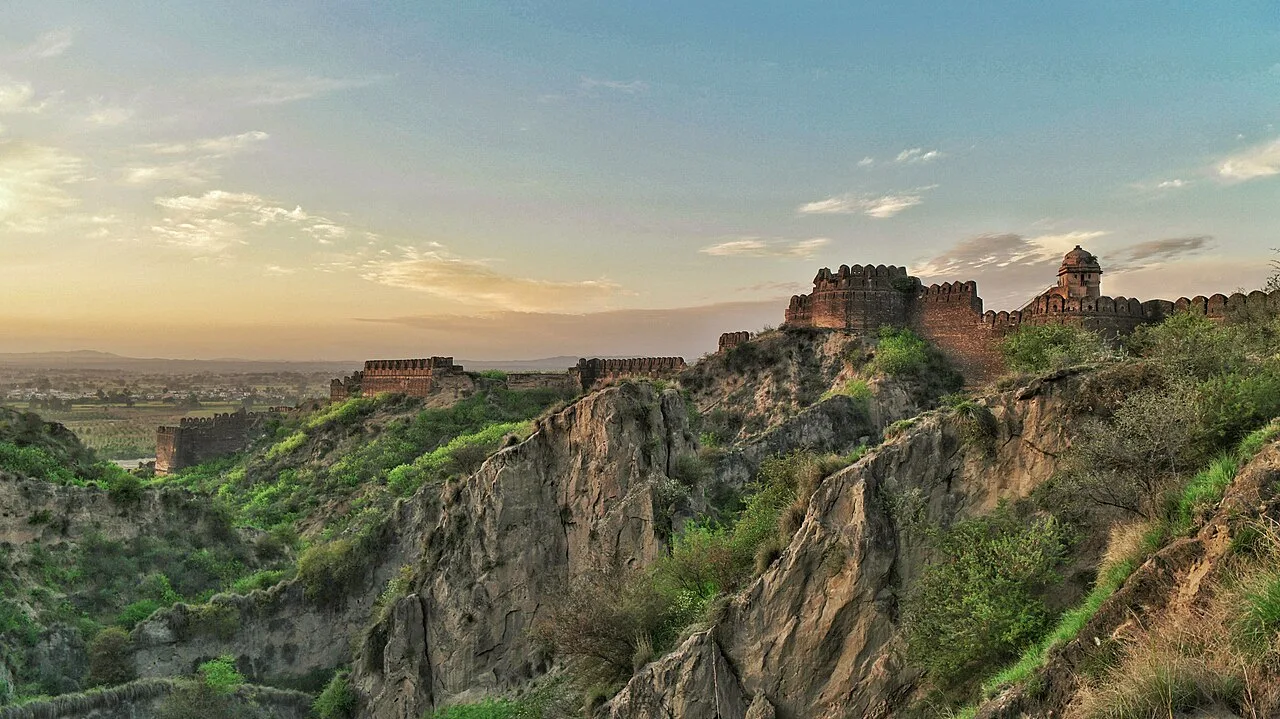
Rohtas Fort

Rohtas Fort, also known as Rohtasgarh, stands in Rohtas town, within Bihar’s Rohtas district. Visitors come to see the fort in its setting in the Son River valley.

Great Buddha Statue

65 km away · Gaya district

Great Buddha Statue

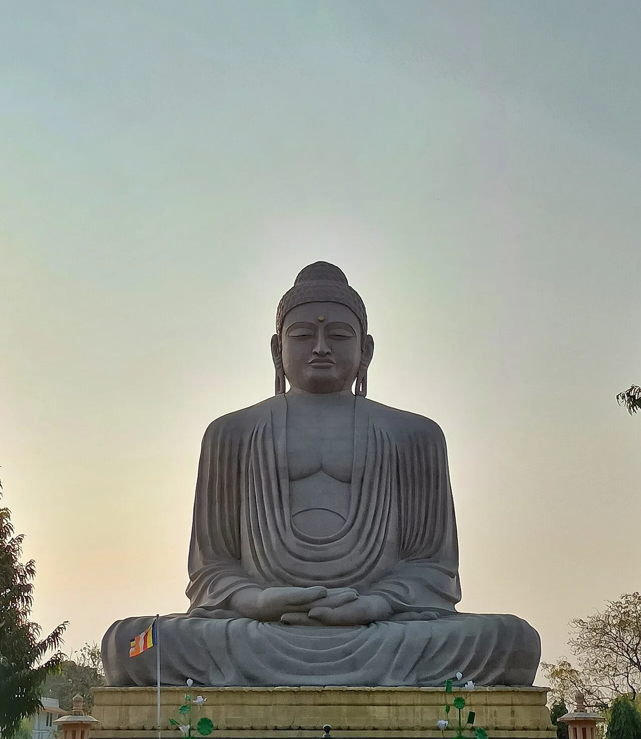
The Great Buddha Statue at Bodh Gaya is a major Buddhist monument in Bihar. Pilgrims and other visitors come to see its large seated figure, distinctive construction and surrounding sculptures.

Bodhi tree

66 km away · Gaya district

Bodhi tree

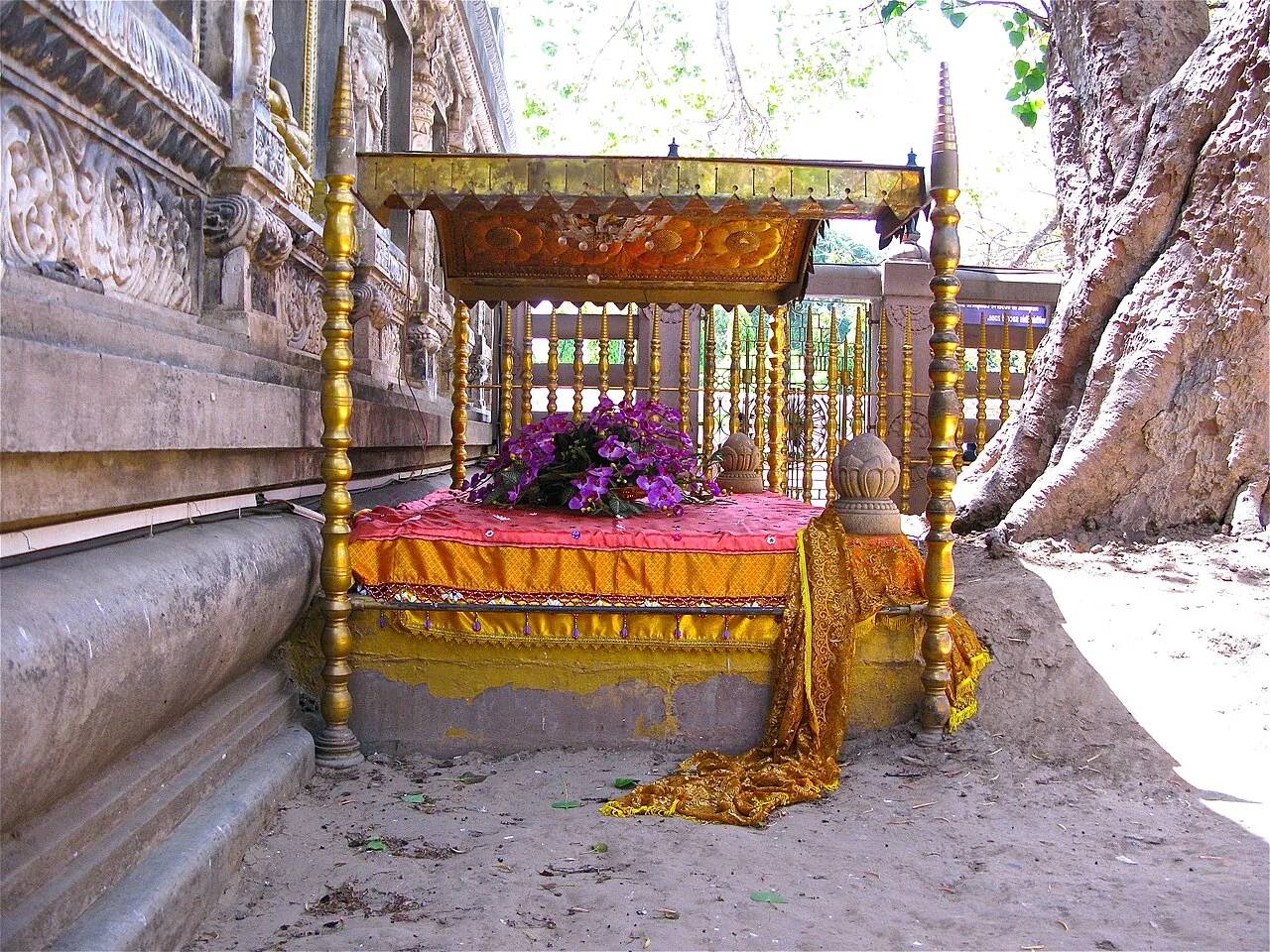
The Bodhi tree is a sacred fig at the Mahabodhi Temple in Bodh Gaya, Bihar. Buddhists visit this revered site because tradition links it to the Buddha’s enlightenment.

Mahabodhi Temple

66 km away · Gaya district

Mahabodhi Temple

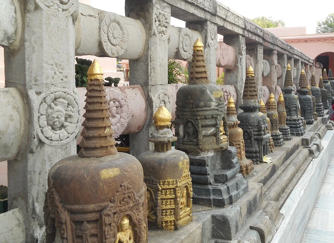
The Mahabodhi Temple is a Buddhist sanctuary in Bodh Gaya, Bihar, associated with the Buddha’s enlightenment. Pilgrims visit its sacred tree and Vajrasana, while the complex is recognised as a UNESCO World Heritage Site.

Barabar Caves

71 km away · Jehanabad district

Barabar Caves

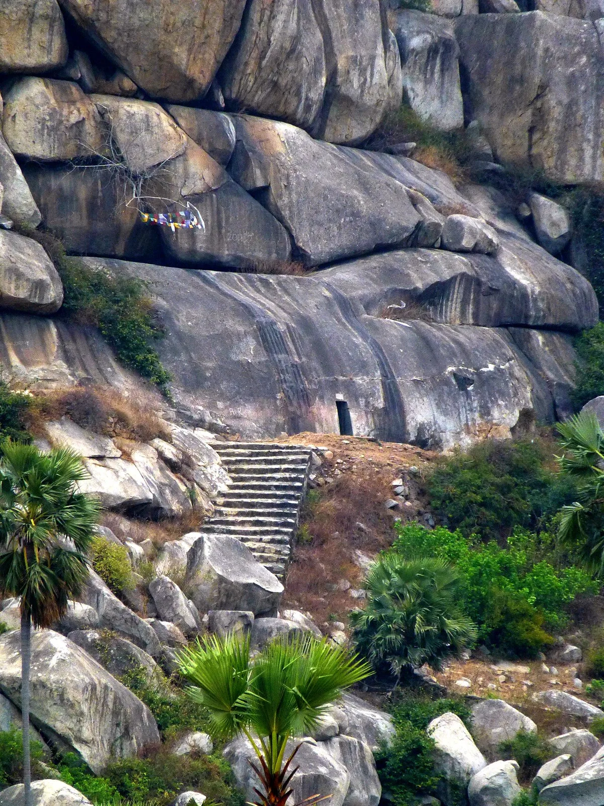
This Mauryan-era cave complex in Bihar extends across Barabar and Nagarjuni hills. Visitors come to see its inscriptions, polished granite chambers and early examples of Indian rock-cut architecture.

Vishnupad Temple

71 km away · Gaya district

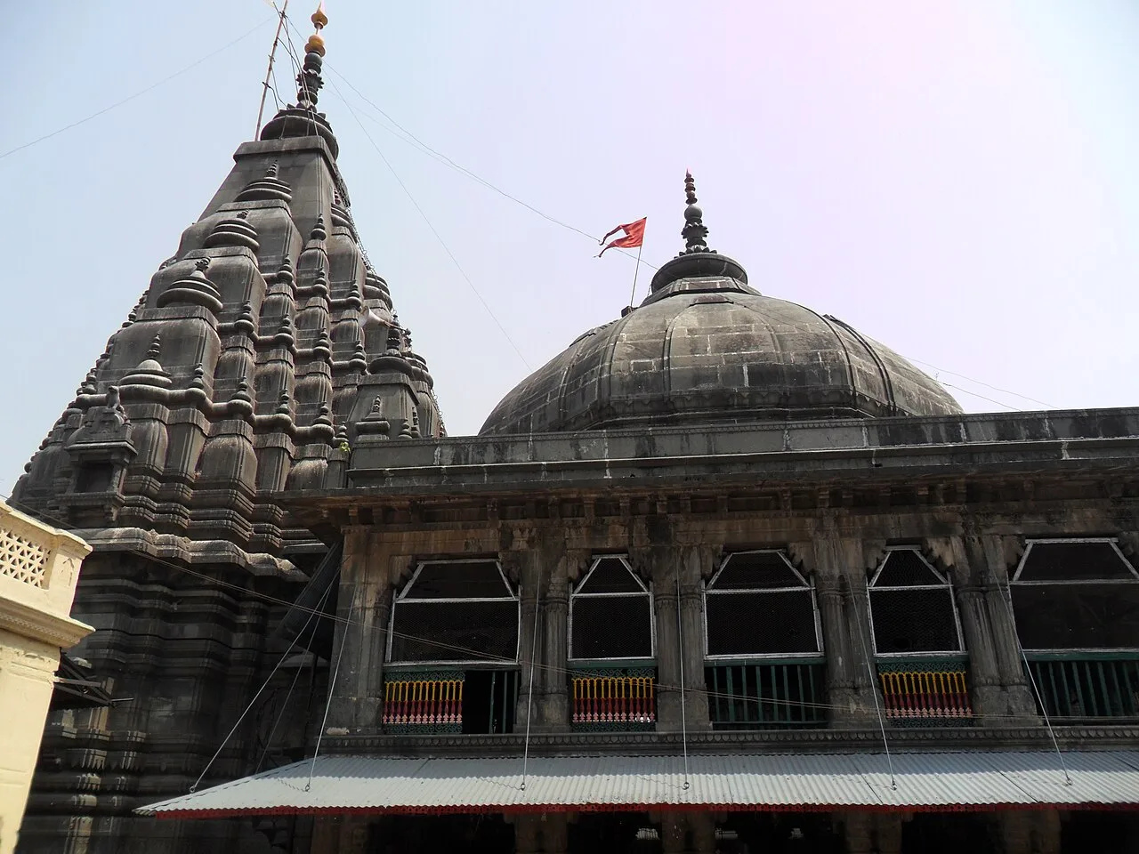
Vishnupad Temple

Vishnupad is a Hindu shrine to Vishnu in Gaya, Bihar, associated with the legend of Gayasura and visited by pilgrims for Shraddha observances.

Map

Obra on the map

  1. 1Deo
  2. 2Tomb of Sher Shah Suri
  3. 3Rohtas Fort
  4. 4Great Buddha Statue
  5. 5Bodhi tree
  6. 6Mahabodhi Temple
  7. 7Barabar Caves
  8. 8Vishnupad Temple

Bihar

Other cities to explore