
Ghumoopedia — Explore, Discover, Experience
Sign in
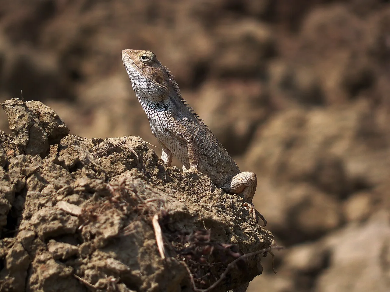
Hazaribagh Wildlife Sanctuary, near Hazaribagh

City guide · Jharkhand

Hazaribagh

Hazaribagh is an administrative and commercial centre in northern Jharkhand, serving as the headquarters of both Hazaribagh district and the North Chotanagpur division. Its setting on the Chota Nagpur plateau, with wooded hills and a relatively mild winter, has long given it a reputation as a hill retreat and health resort.

Famous for

  • Hazaribagh Wildlife Sanctuary
  • Sohrai-Khovar painting
  • Canary Hill
  • Hazaribagh Central Jail
  • North Chotanagpur headquarters
In the city
0
Nearby
1
District
Hazaribagh
Plan a trip

Why Hazaribagh matters

Hazaribagh is an administrative and commercial centre in northern Jharkhand, serving as the headquarters of both Hazaribagh district and the North Chotanagpur division. Its setting on the Chota Nagpur plateau, with wooded hills and a relatively mild winter, has long given it a reputation as a hill retreat and health resort. The city also serves as a base for exploring the region’s forests and countryside.

Visitors come for the Hazaribagh Wildlife Sanctuary, whose forested landscape offers a contrast to the busy town, and for nearby viewpoints such as Canary Hill. Hazaribagh is also associated with Sohrai-Khovar painting, a distinctive tradition of wall art practised in the district’s villages. Its history as a colonial-era administrative town remains visible in older neighbourhoods and institutions. Today, schools, colleges, government offices and local markets give the city importance beyond tourism, while road connections make it a practical stop for travellers exploring northern Jharkhand.

Famous for: crafts, trade & products

Hazaribagh is not especially known for a large textile or saree industry. Its best-known craft connection is Sohrai-Khovar painting, a traditional form of mural art from the district, recognised with a Geographical Indication. Sohrai murals are associated with the harvest season; Khovar designs are traditionally made in connection with weddings. In villages around Hazaribagh, artists create geometric, animal and plant motifs on walls, using locally familiar materials and techniques. Visitors may find paintings or craft pieces at local exhibitions and fairs, or through craft organisations and state emporia; availability can vary, so ask locally before making a special trip.

The town’s markets mainly serve everyday needs, with produce, household goods, clothing and regional foods rather than a single signature shopping district or product. Hazaribagh also functions as a service and trading centre for surrounding settlements, while coal and other mineral activity belongs chiefly to the wider district and region, not to a distinctive city-centre manufacturing quarter. Educational institutions are another part of its identity, notably Vinoba Bhave University. For visitors, the most meaningful local purchases are often paintings and small craft works by district artists, rather than mass-produced souvenirs.

History

The Hazaribagh region was historically forested and home to tribal communities, while the wider Chota Nagpur area was governed through local estates, including Ramgarh. Mughal influence reached the region during the 16th century, but control remained contested and local rulers retained considerable influence. Under British rule, administrative boundaries were reorganised after the Kol uprising of 1831, and Hazaribagh became the headquarters of a division. The town became a district headquarters in 1834 and a municipality in 1869.

A cantonment established in 1790 helped shape the settlement; later, the planned neighbourhood of Boddam Bazar grew around the former military area. Hazaribagh Central Jail became associated with the freedom movement: political leaders were imprisoned there, and Jayaprakash Narayan’s escape during the Quit India Movement became part of local and national memory. Rail access historically relied on Hazaribagh Road station, opened with the Grand Chord railway era in 1906, followed by onward road travel. Hazaribagh became part of Jharkhand when the state was formed in 2000. Subsequent district changes, including the creation of Ramgarh district in 2007, reshaped its administrative hinterland.

Food, festivals & culture

Everyday cooking reflects the food traditions of Jharkhand and the Chota Nagpur plateau. Rice, lentils, seasonal vegetables and leafy greens are common, alongside dishes such as dhuska, pittha and litti. Thekua is a familiar festive sweet, while local shops and eateries also serve tea, snacks and sweets popular across eastern India. Menus and ingredients vary between households and communities, so visitors will find both regional staples and standard North Indian fare.

Sarhul, celebrated in spring, honours nature and sal trees; Karma, usually observed during the monsoon season, features singing and community dancing. Sohrai follows the harvest, generally in autumn, and is closely connected with the district’s mural art. Durga Puja and Chhath are prominent autumn festivals, while Tusu is celebrated in winter in parts of the region. Hindi is widely used, alongside Khortha, Nagpuri, Urdu, Bengali and tribal languages. Mandar drums accompany community music and dances, including forms of Jhumair. Temples, mosques, churches and other places of worship serve the city’s diverse communities; the historic Durga Bari is associated with local Bengali cultural life.

Visiting the city

October to March is generally the most comfortable time to visit, with cooler weather suited to exploring the town, nearby hills and sanctuary. Summers can be hot, while the monsoon brings greener scenery but may make outdoor excursions less convenient. The nearest major airport is Birsa Munda Airport in Ranchi. The city’s railway station is Hazaribagh Town; Hazaribagh Road station is a separate station farther away and should not be confused with it.

Auto-rickshaws and local taxis are useful for getting around, while private vehicles are convenient for excursions beyond the centre. Boddam Bazar offers a glimpse of the older planned town, and the central market area is practical for food and everyday shopping. Canary Hill is a popular nearby outing; the Hazaribagh Wildlife Sanctuary lies outside the urban centre and is best approached with transport arranged in advance. Check current access conditions locally before setting out for forest or hill areas.

Short trips

Around Hazaribagh

Within about 40 km — easy half-day or day trips from the city.

Map

Hazaribagh on the map

  1. 1Hazaribagh Wildlife Sanctuary

Jharkhand

Other cities to explore