Ghumoopedia — Explore, Discover, Experience
Sign in
Itkhori, near Chatra

City guide · Jharkhand

Chatra

Chatra is the administrative headquarters of Chatra district and an important service centre for the surrounding plateau and forested countryside. Government offices, local businesses and markets make it a practical base for exploring the district, while its setting gives the town a quieter character than Jharkhand’s larger industrial centres.

Famous for

  • Waterfalls near town
  • Balbal Duari hot spring
  • North Karanpura coalfield
  • Forested plateau landscape
  • Historic Ramgarh district seat

Why Chatra matters

Chatra is the administrative headquarters of Chatra district and an important service centre for the surrounding plateau and forested countryside. Government offices, local businesses and markets make it a practical base for exploring the district, while its setting gives the town a quieter character than Jharkhand’s larger industrial centres. The wider region is associated with the North Karanpura coalfield and major energy development, alongside extensive forests and rural communities.

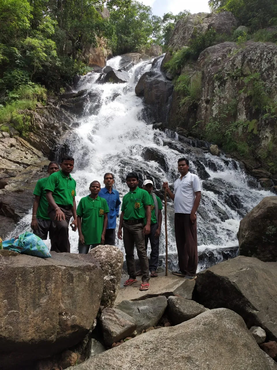
Visitors are drawn chiefly to the natural sights around town. Goa Falls, Keridah Falls, Maludah Falls and Bichkiliya are nearby, and Balbal Duari is known for its hot spring. The waterfalls are most rewarding when seasonal flows are strong, though conditions and access can vary. Chatra also carries a historical connection to the old Ramgarh district administration. Together, its administrative role, regional history and access to waterfalls and countryside make it a useful stop for travellers exploring northern Jharkhand.
Famous for: crafts, trade & products

Chatra is not especially known as a centre for a particular textile, saree tradition, handicraft or GI-tagged product. Its town market is primarily a practical place for residents and visitors to buy everyday goods and provisions. For locally made items or seasonal produce, ask shopkeepers in the central market area about what is available; selection can vary, and specialist craft outlets are not a defining feature of the town.

The district’s more prominent economic association is the North Karanpura coalfield, a large coal-producing area extending across parts of southern Chatra district and neighbouring districts. Energy development, including the North Karanpura Thermal Power Station project, is part of the region’s modern industrial story, rather than a visitor-facing shopping attraction. Chatra’s importance as a district headquarters is also reflected in its government offices and service businesses. Travellers looking for souvenirs are best advised to check general shops in town, while treating nearby waterfalls and the Balbal Duari hot spring as the area’s stronger draws.

History

Chatra served as a headquarters of Ramgarh district during the eighteenth and nineteenth centuries. Raja Rammohan Roy worked as a sheristadar in the district in 1804–05, carrying out administrative duties from both Ramgarh and Chatra. The town’s early importance was therefore closely tied to regional government and administration.

As administrative boundaries changed, the former Ramgarh district became part of Hazaribagh district. Chatra became a subdivision of Hazaribagh district in 1914, retaining a role as a local administrative centre. In 1991, Chatra became a full-fledged district, and the town became its headquarters. In recent decades, development across the wider district has also been shaped by coal mining and energy infrastructure, particularly the North Karanpura coalfield and associated power-generation plans. Chatra’s growth thus reflects a shift from an older district seat to the centre of a modern administrative district.

Food, festivals & culture

Everyday food in Chatra reflects the home-style cooking of Jharkhand and neighbouring regions. Rice, lentils, seasonal vegetables and leafy greens are common staples; dishes such as dhuska may be found at local eateries, though availability varies. Visitors can look to small restaurants and market-side food stalls for simple meals and snacks rather than expecting a distinct city-specific cuisine or famous sweet.

Hindi is widely used, alongside regional speech such as Khortha and Magahi; languages vary across the district. The cultural calendar includes Sarhul in spring, Karma during the monsoon season and Sohrai around the harvest period. Chhath is also widely observed in the region, usually in autumn. Folk singing and drum-led seasonal celebrations accompany community gatherings, including Karma dance traditions. Hindu temples and neighbourhood places of worship serve as important local gathering points; visitors should ask locally about customary practices and suitable times to visit.

Visiting the city

October to February is generally the most comfortable season for a visit. The waterfalls can be more impressive during or just after the monsoon, but heavy rain may make roads and paths harder to navigate. Gaya Airport is a nearby air gateway, and Hazaribagh Town railway station is a useful rail connection; onward travel to Chatra is by road. Check current transport connections before setting out.

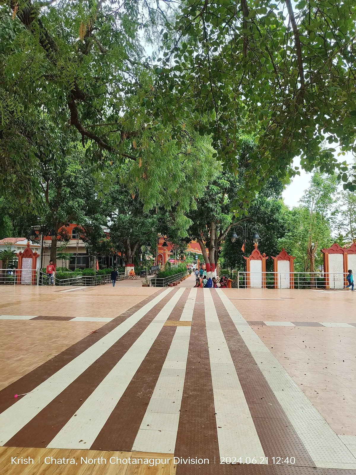
Within town, local taxis, auto-rickshaws and buses can help with short trips, while a hired vehicle is convenient for visiting waterfalls and Balbal Duari. Explore the central market and administrative area for everyday town life, then plan excursions to Goa, Keridah or Maludah Falls and Bichkiliya. Balbal Duari, about 25 km away, is known for its hot spring. Confirm local road conditions and access before travelling to outlying sites.

Trips from the city

Nearest places to visit from Chatra

Our closest destination guides, by straight-line distance.

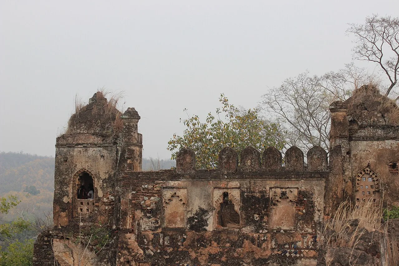
Itkhori

31 km away · Chatra district

Itkhori

Itkhori is a village and gram panchayat in Jharkhand’s Chatra district. Visitors to the area come to see the settlement and its place within the Itkhori CD block.

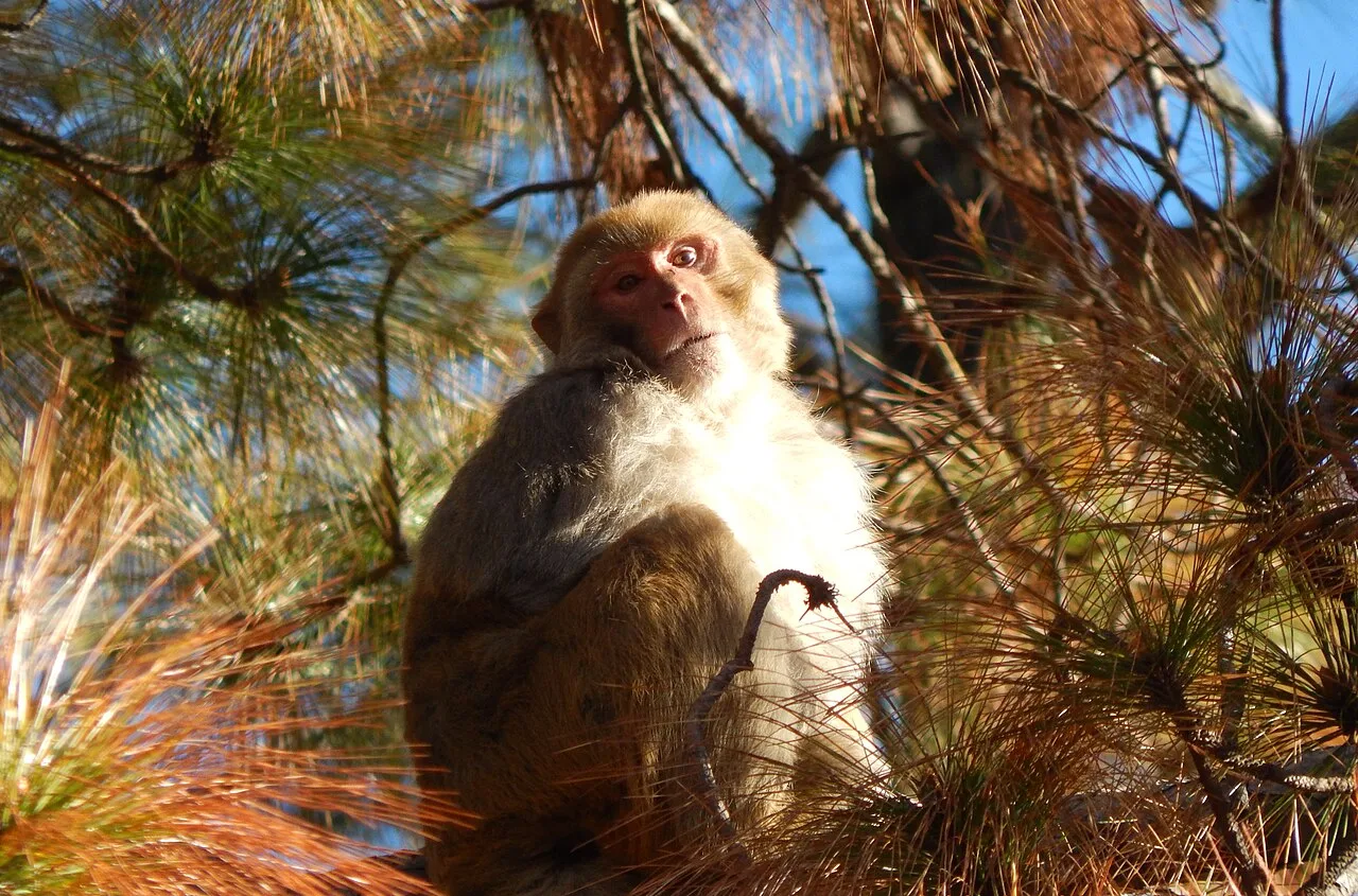
Hazaribagh Wildlife Sanctuary

50 km away · Hazaribagh district

Hazaribagh Wildlife Sanctuary

Located in Jharkhand’s Hazaribagh district, this sanctuary was established in 1955, about 55 miles (89 km) north of Ranchi. People visit to see wildlife such as deer, monkeys and birds.

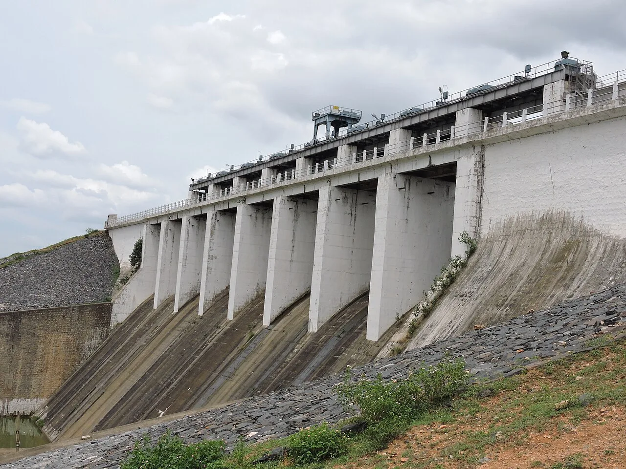
Tilaiya Dam

67 km away · Koderma district

Tilaiya Dam

Tilaiya Dam, in Jharkhand’s Koderma district, spans the Barakar River and was the earliest of four multipurpose dams in the Damodar Valley Corporation’s first phase, giving it historical significance.

Palamu fort

73 km away · Palamu district

Palamu fort

Palamu Fort is a pair of ruined strongholds in Jharkhand, associated with the Chero dynasty. Visitors come to see their remains near Betla National Park and the Auranga River.

Patratu

73 km away · Ranchi district

Patratu

Patratu is a census town in Jharkhand, linked administratively to Patratu block and Ramgarh subdivision. The details provided do not identify a specific visitor attraction.

Betla National Park

79 km away · Palamu district

Betla National Park

Betla National Park is in Jharkhand’s Palamu and Latehar districts. Visitors come for its varied wildlife and to experience the state’s only national park.

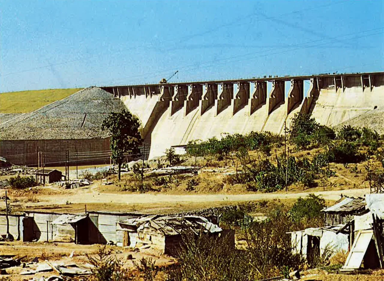
Konar Dam

96 km away · Hazaribagh district

Konar Dam

Konar Dam is a multipurpose dam in Jharkhand’s Hazaribagh district, built on the Konar River as part of the Damodar Valley Corporation’s first-phase programme. Visitors come to the area for recreation.

Lower Ghaghri Falls

98 km away · Latehar district

Lower Ghaghri Falls

Lower Ghaghri Falls is a 320-foot cascade in Latehar district, Jharkhand, about 10 kilometres from Netarhat. Visitors come to see the waterfall and its forest surroundings.

Map

Chatra on the map

  1. 1Itkhori
  2. 2Hazaribagh Wildlife Sanctuary
  3. 3Tilaiya Dam
  4. 4Palamu fort
  5. 5Patratu
  6. 6Betla National Park
  7. 7Konar Dam
  8. 8Lower Ghaghri Falls

Jharkhand

Other cities to explore