Ghumoopedia — Explore, Discover, Experience
Sign in
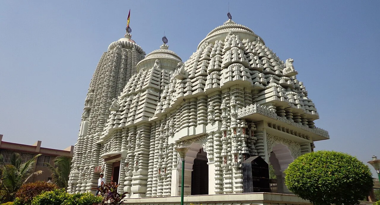
Baidyanath Temple, Jharkhand

State · East India

Jharkhand

Waterfalls of the Chota Nagpur plateau, sal forests and Santhal and Munda heritage.

Capital
Ranchi
Districts
18
Destinations
48
Plan a trip in Jharkhand

Overview

Understanding Jharkhand

Culture

Sohrai and Khovar wall painting.

Food

  • Dhuska
  • Rugra

Festivals

  • Sarhul
  • Karma
  • Shravani Mela

Experiences here

  • Tribal
  • Wildlife
  • Spiritual
  • Festivals

Verified by the Ghumoopedia editorial team on 21 Nov 2026. Written and reviewed by Ghumoopedia's editors. Timings, fees and permits can change, so check them with the managing authority shortly before you travel.

The complete guide

Jharkhand: a traveller's guide

Why visit

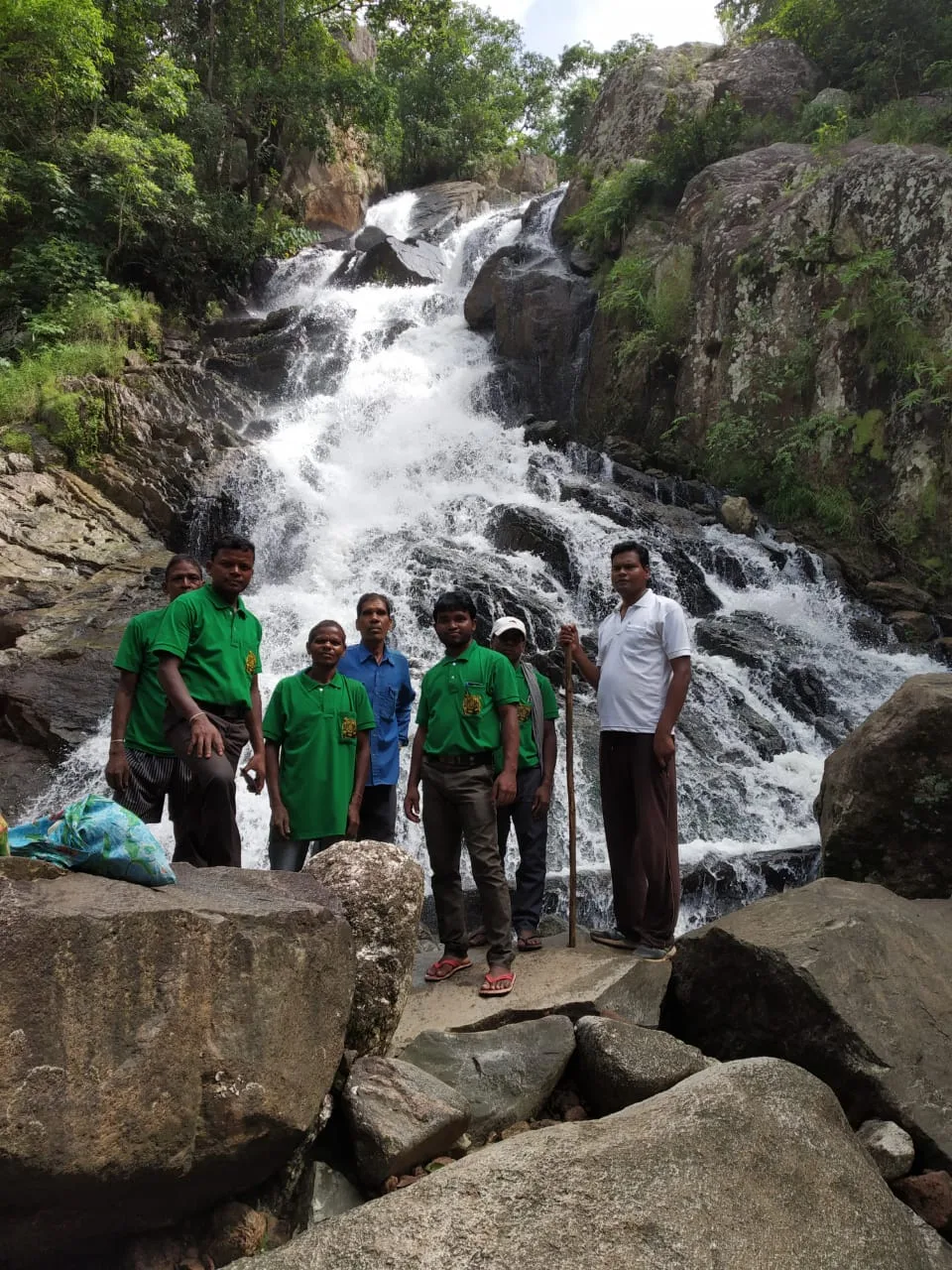
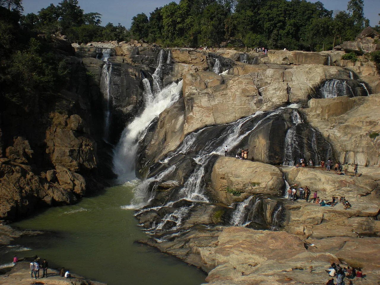
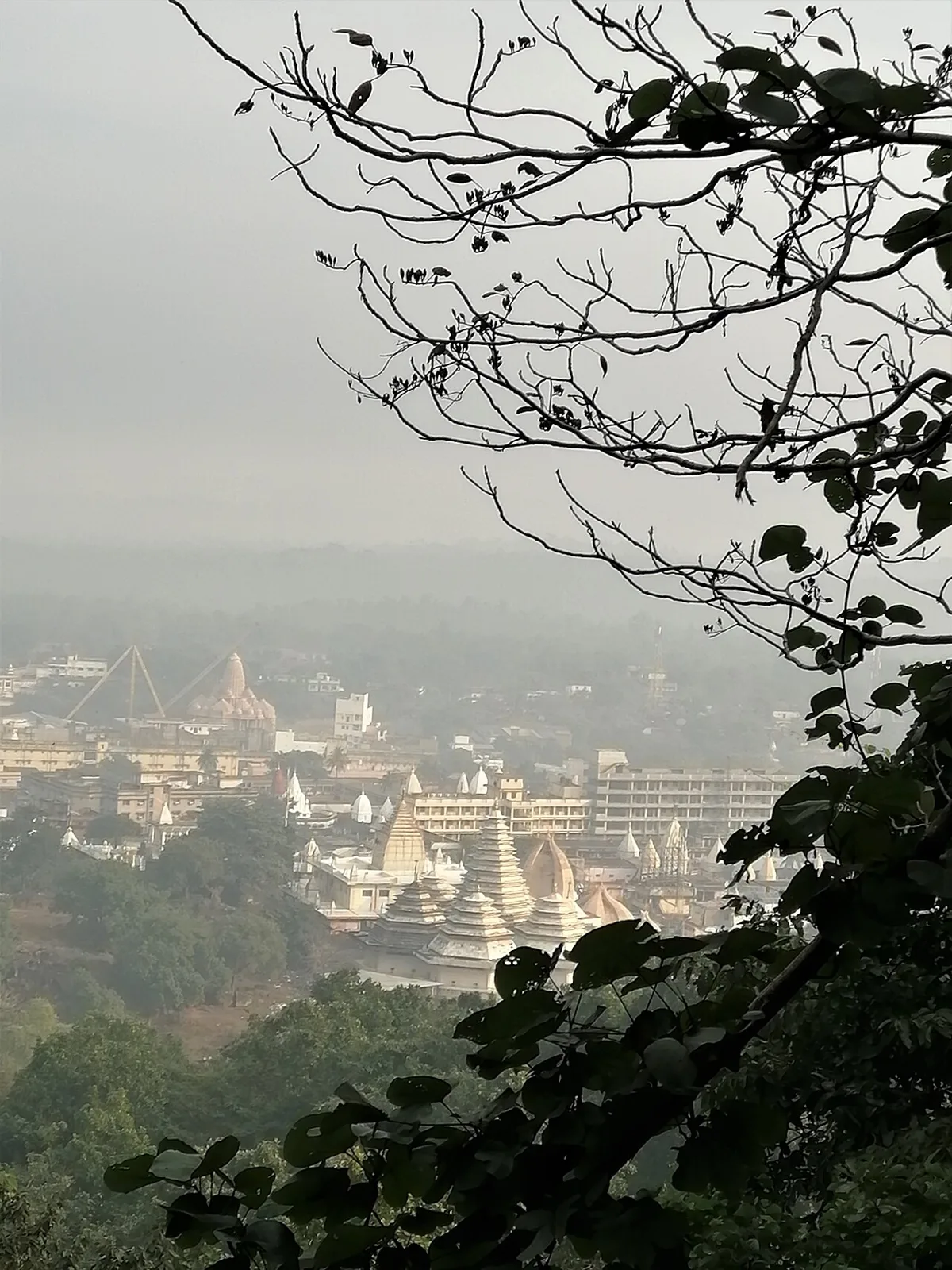
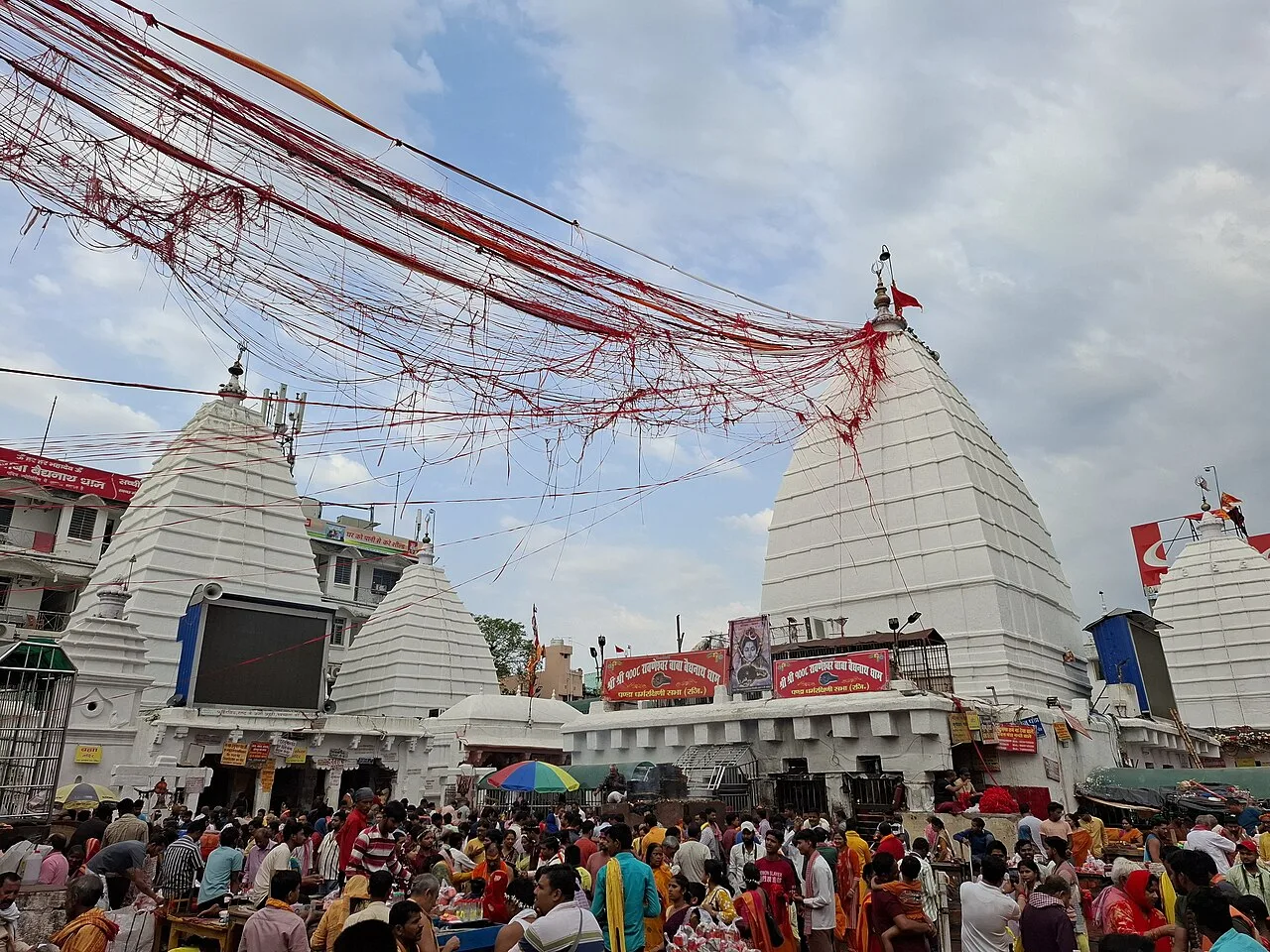
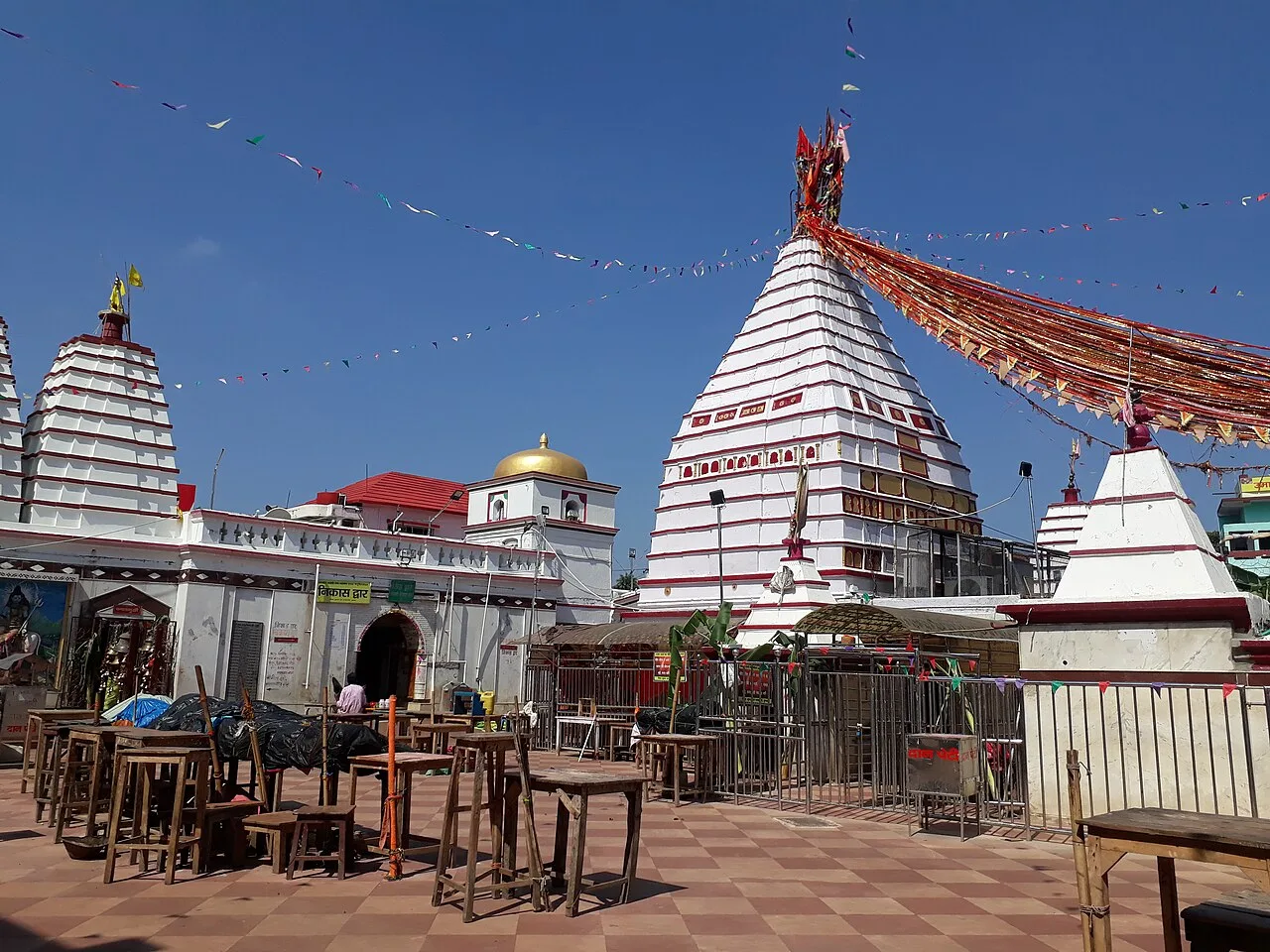
Jharkhand is a state of plateau landscapes, forested hills and rivers, where waterfalls spill from the edges of the Chota Nagpur plateau and living traditions shape village and town life. Ranchi makes a useful starting point for exploring the region’s cascades, including Hundru Falls, Dassam Falls and Jonha Falls. Further afield, Betla National Park and Netarhat offer forest and hill-country journeys, while Deoghar and Basukinath draw pilgrims and Shikharji is one of India’s most important Jain sacred sites. Industrial cities such as Jamshedpur and Bokaro add a different perspective on the state’s modern history.

The state suits varied trips: short nature breaks, road journeys among waterfalls and dams, wildlife visits, pilgrimage itineraries, and cultural travel focused on Santhal, Munda and other communities. Sohrai and Khovar wall paintings, seasonal festivals and distinctive local food give journeys a strong sense of place. Distances and road conditions can make itineraries slower than a map suggests, so it is often better to explore one region at a time. Visitors who combine a few well-chosen stops with time to meet local guides and artists can see more than the headline attractions.
Landscape & climate

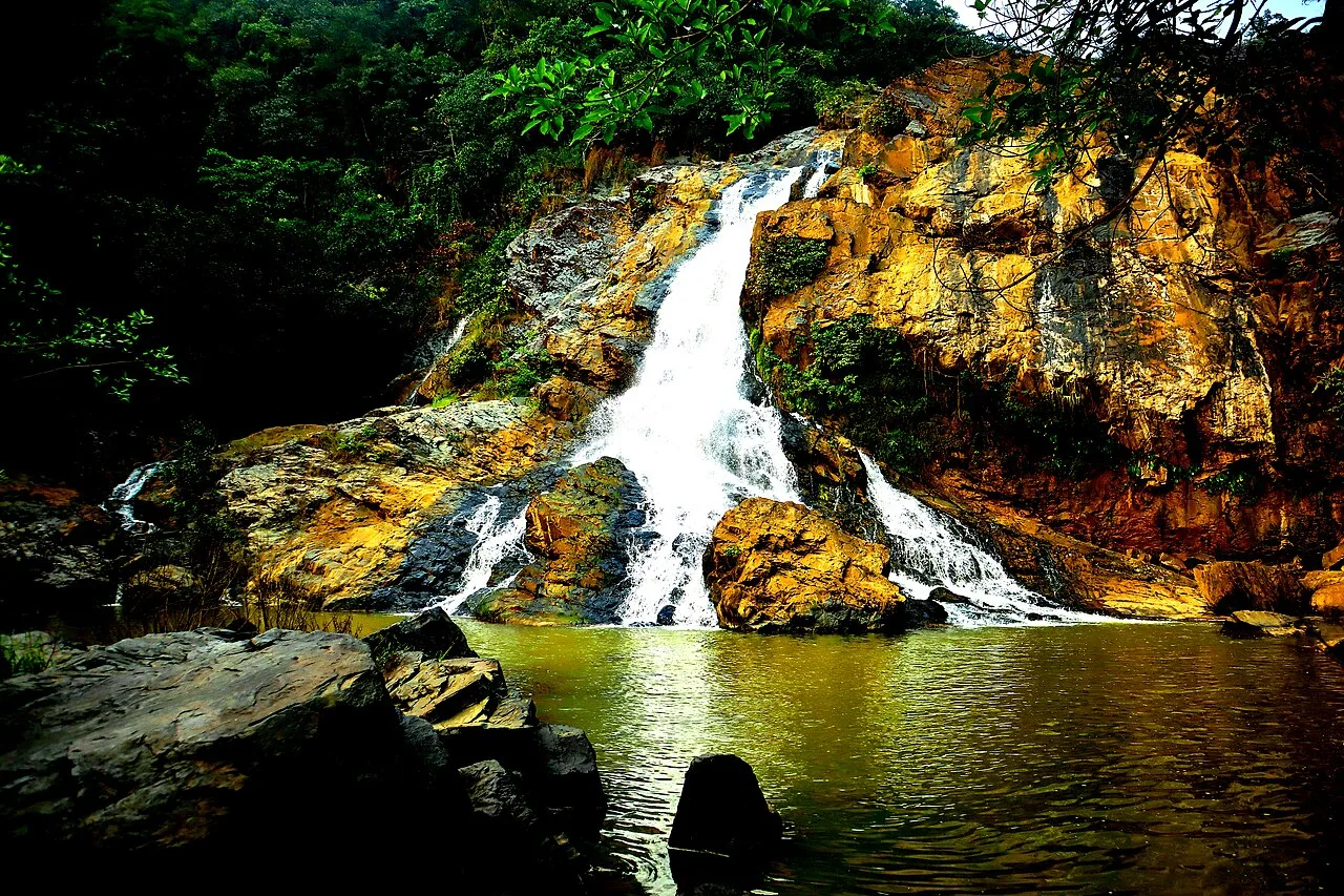
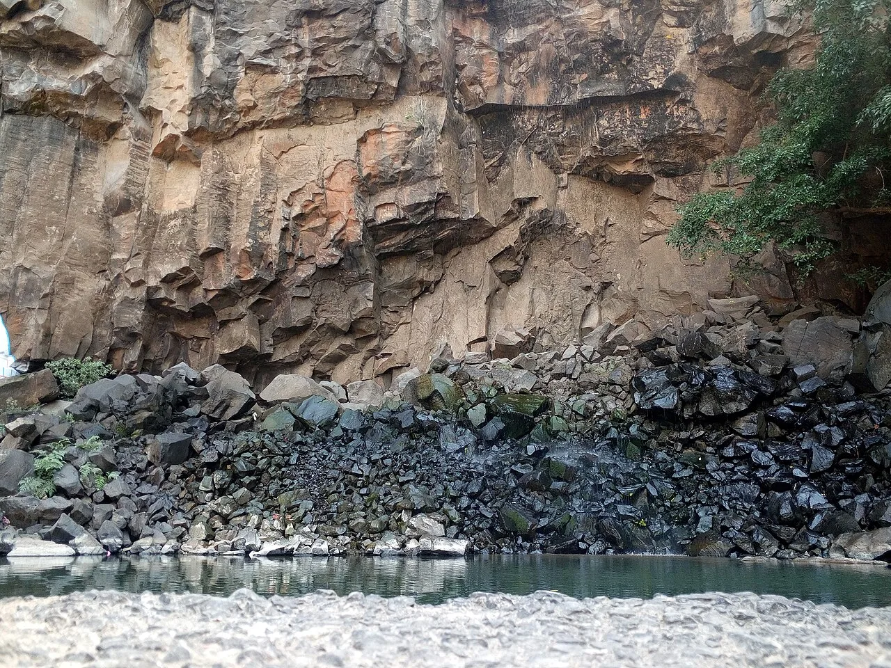
Jharkhand lies mainly on the Chota Nagpur plateau, a raised landscape of undulating uplands, rocky escarpments and forested hills. Ranchi and Khunti sit among plateau country where rivers drop over steep edges to form cascades; Hundru, Dassam, Jonha and Panchghagh are among the best-known waterfalls. The wooded highlands around Netarhat and the forested tracts of Latehar and Palamu contrast with the mining and industrial belts around Dhanbad, Bokaro and Jamshedpur. In the east, the Santhal Pargana region includes the Rajmahal hills and the Ganges-side landscape near Sahibganj. Jharkhand has no coastline.

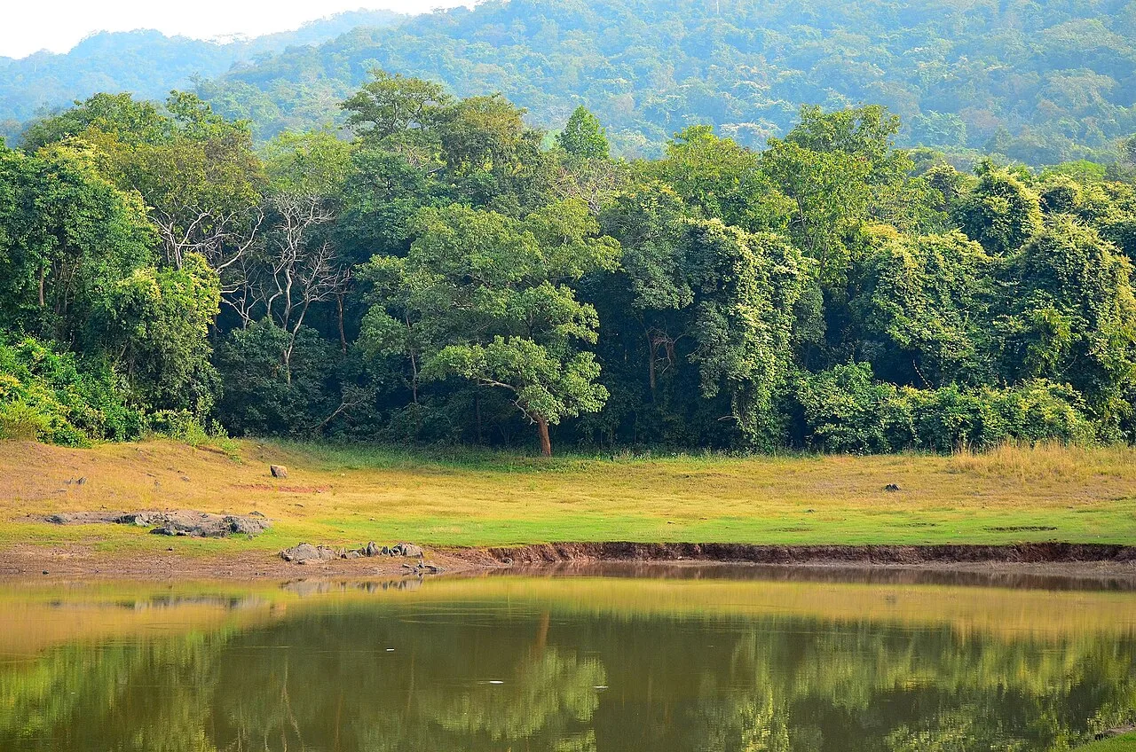
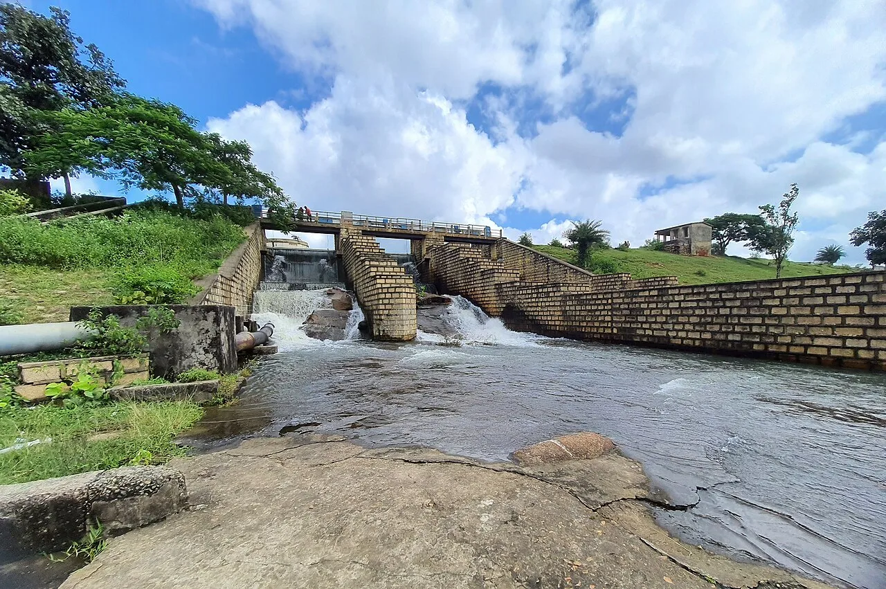
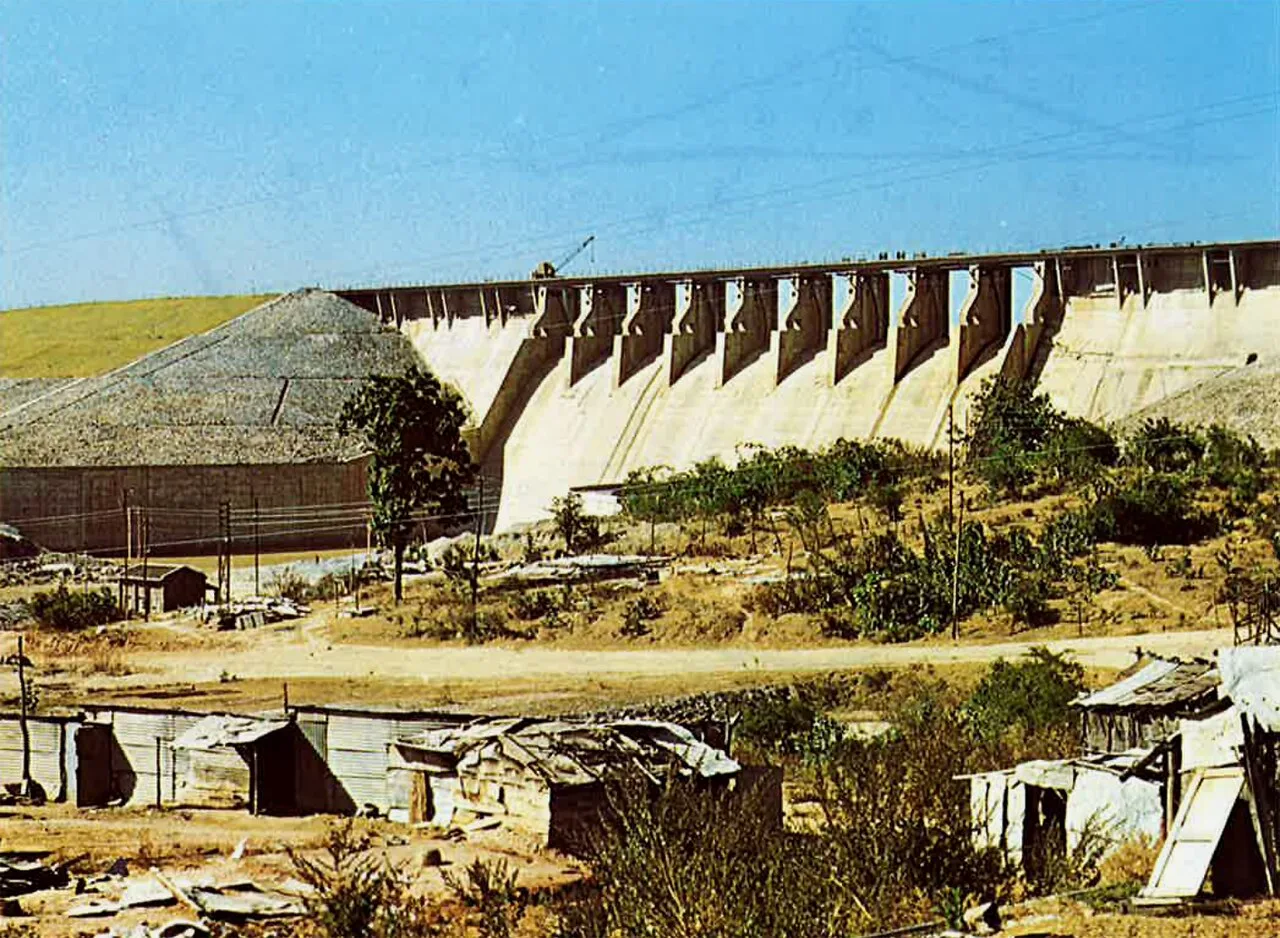
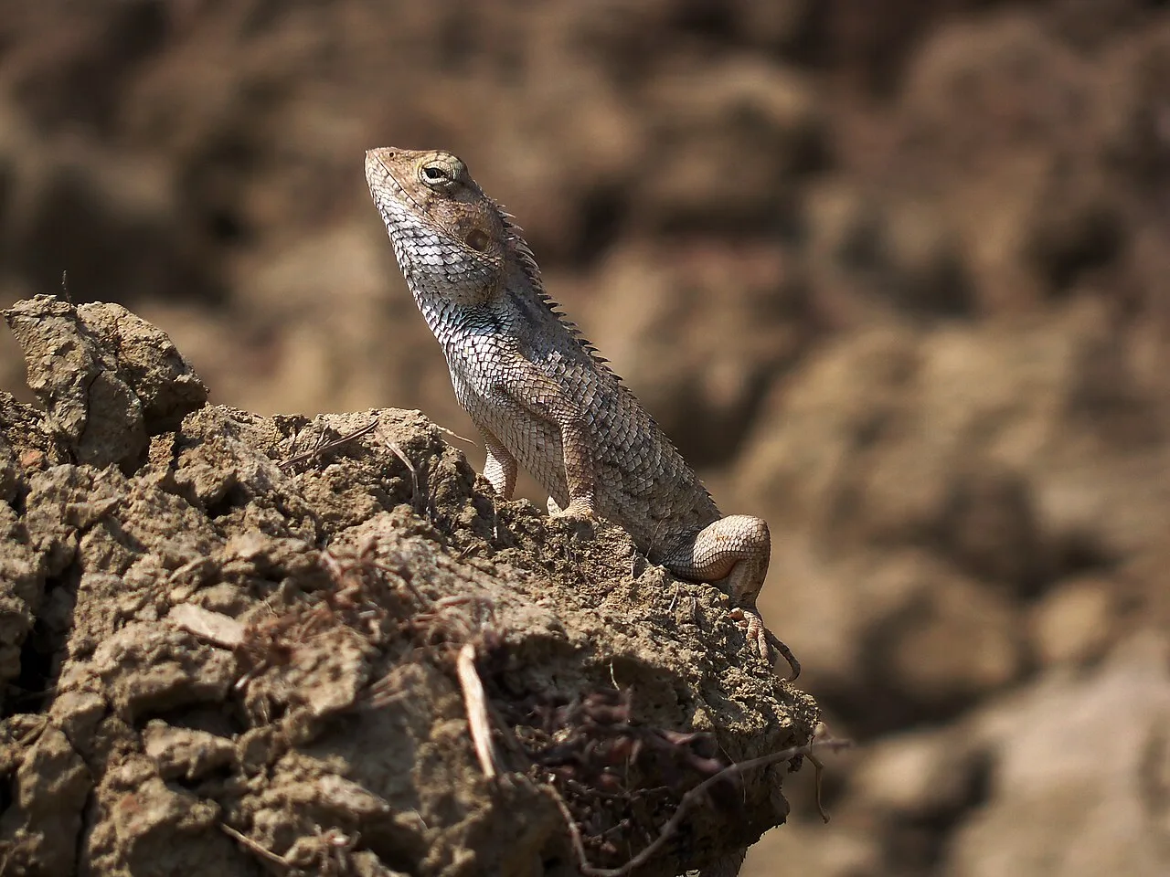
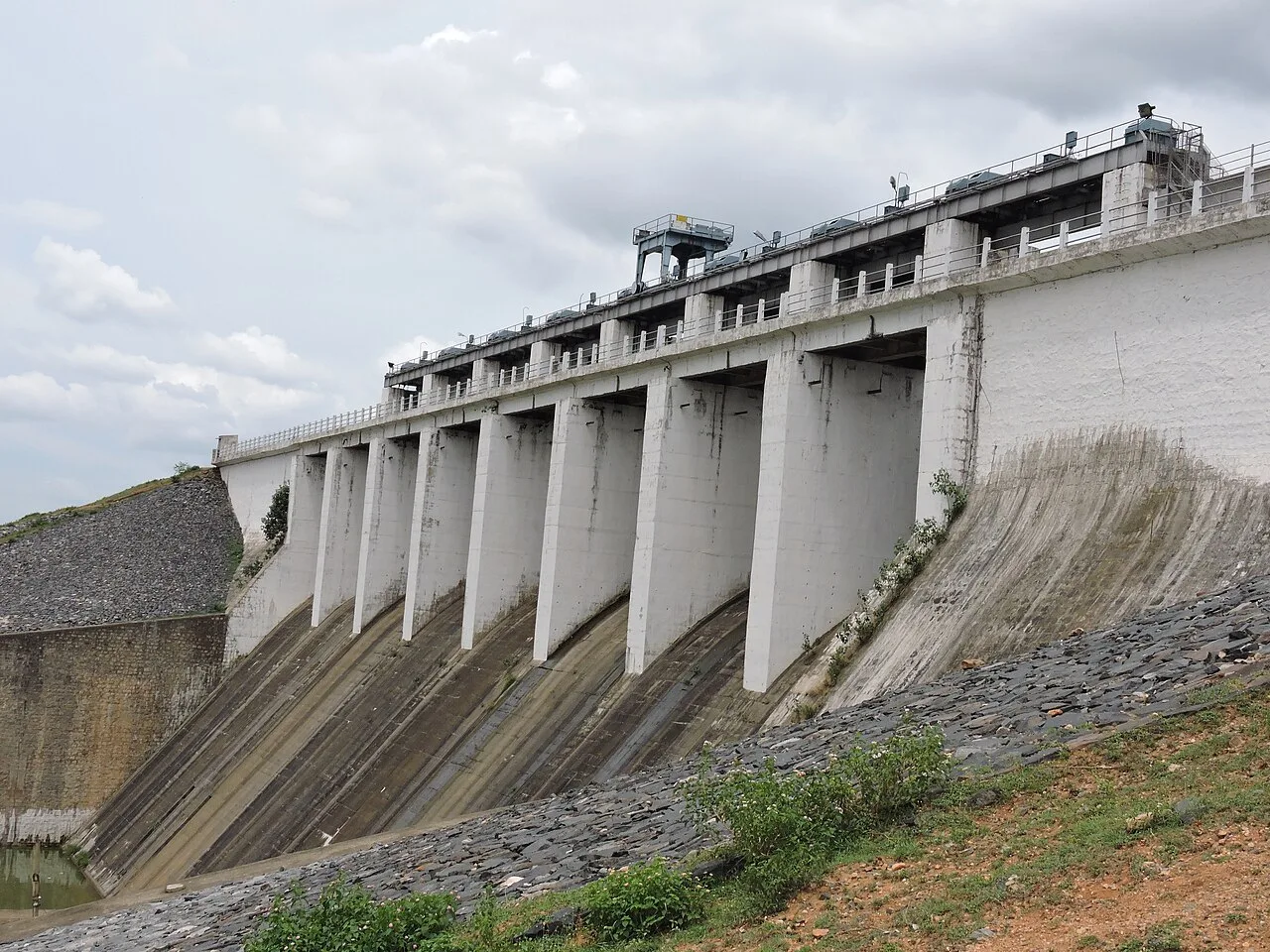
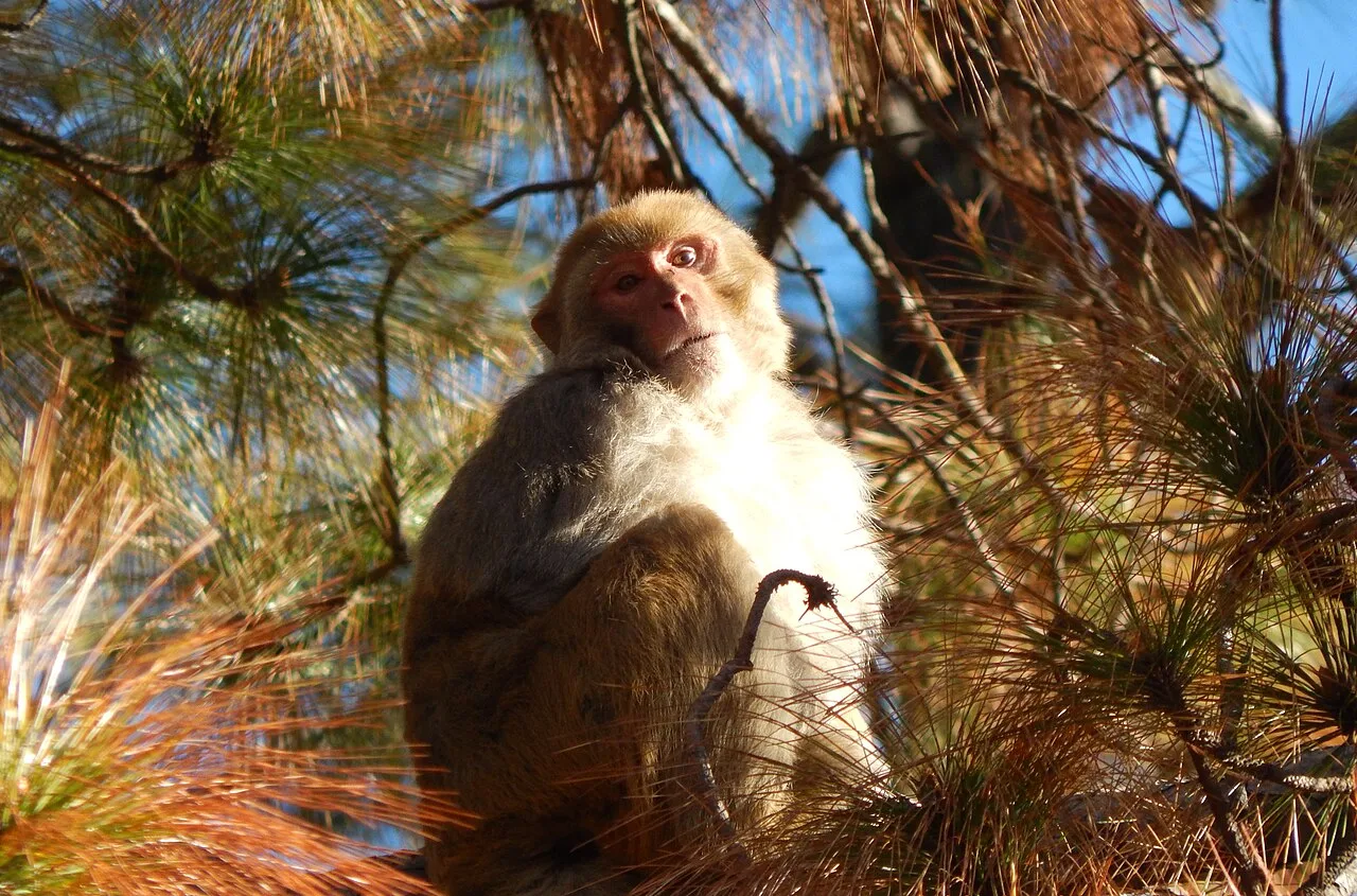
The Damodar and its tributaries, the Subarnarekha, Barakar, North Koel and South Koel drain different parts of the state. Dams and reservoirs such as Maithon, Tilaiya, Panchet and Chandil are prominent features of the river valleys. Sal forest is characteristic in many areas, alongside mixed woodland and scrub; wildlife habitats include Betla National Park, Dalma Wildlife Sanctuary and Udhwa Lake Bird Sanctuary. Summers are generally hot, the monsoon brings heavy rain and fuller waterfalls, and winters are cooler and usually drier. Rain can make forest roads and waterfall approaches slippery, while dry-season streams may be less dramatic. Local conditions vary with elevation and district.

History & heritage

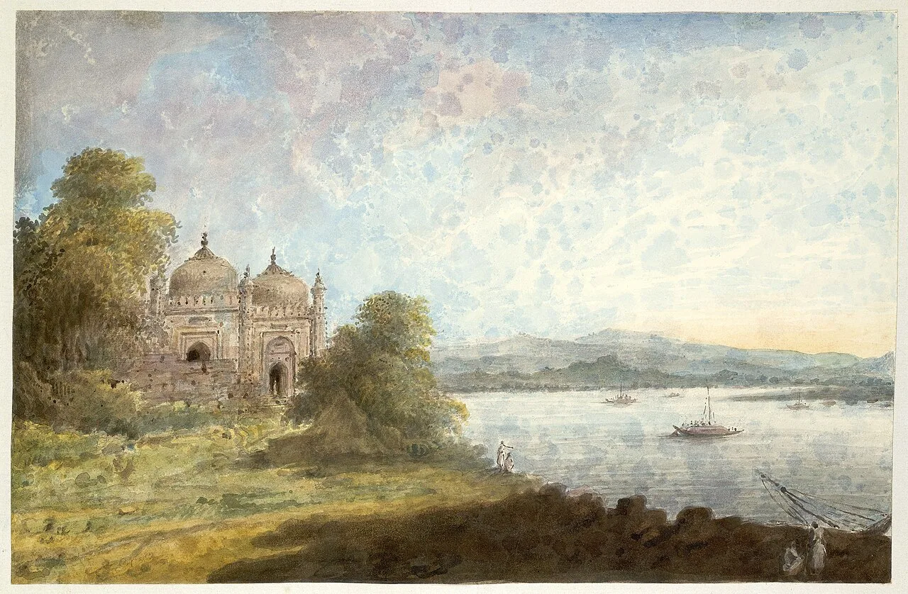
Jharkhand’s history reflects its position between the Gangetic plains and central-eastern India, as well as the distinct political and cultural life of its plateau communities. The region has long been associated with forest-dwelling and agrarian peoples, including Santhal, Munda, Ho and Oraon communities. Archaeological and religious sites reveal layers of older settlement: Itkhori, for example, is associated with Hindu, Buddhist and Jain remains, while Parasnath—also called Shikharji—is a major Jain pilgrimage landscape. Over time, parts of the region came under the influence of larger eastern Indian powers, including the Magadha and Pala realms, while local rulers maintained authority in many upland areas.

The Nagvanshi rulers were an important dynasty in the Chota Nagpur region, and the Chero held power in parts of Palamu. From the eighteenth century onward, expanding Company and British rule brought new revenue systems, land pressures and administrative control. Resistance included the Kol uprising of 1831–32, the Santhal Hul of 1855–56, and the Munda Ulgulan led by Birsa Munda around the turn of the twentieth century. These movements remain central to regional memory and the history of Adivasi political assertion. Colonial-era development also transformed the region through mining, railways and industry, especially in the coalfields and around Jamshedpur.

The demand for a separate state drew on questions of identity, land, resources and political representation. Jharkhand was carved out of Bihar and became a state on 15 November 2000, Birsa Munda’s birth anniversary. Its modern landscape brings together Indigenous community histories, pilgrimage traditions, mining and steel production, and newer urban centres. Sites such as the Palamu forts, Maluti’s temple village, and the industrial city of Bokaro offer different windows onto that long and varied past.

Culture, people & festivals

Jharkhand is home to many communities and languages. Hindi is widely used, alongside regional languages such as Nagpuri, Khortha, Kurmali and Panchpargania, and Adivasi languages including Santali, Mundari, Ho and Kurukh. Bengali and Urdu are also spoken in parts of the state. Santhal, Munda, Ho, Oraon, Kharia and other communities have distinct histories and cultural practices; customs can vary considerably between villages and districts. Visitors may encounter community music and dance at festivals, but performances are living traditions rather than staged attractions everywhere. Ask before photographing people, ceremonies or sacred spaces.

Sarhul, usually celebrated in March or April, welcomes spring and honours nature and the sal tree. Karma, generally held in August or September, is associated with the sacred Karam tree, community dancing and hopes for well-being. Sohrai, commonly observed around the post-harvest period in October or November, celebrates cattle and the harvest; its painted walls are especially associated with parts of Hazaribagh. Shravani Mela brings pilgrims to Deoghar during the monsoon months, usually July and August, though the lunar calendar determines the dates. Other seasonal observances include Tusu in winter and Chhath in autumn. Month ranges are approximate, since festival timing follows local custom and lunar calendars. Sohrai and Khovar painting, music and dance are important expressions of regional identity.

Food & flavours

Rice is a staple across much of Jharkhand, often served with seasonal greens, lentils, vegetables and chutneys. Dhuska, a fried rice-and-lentil preparation, is a popular snack, commonly eaten with potato curry or ghugni. Rugra, a seasonal forest mushroom, is prized in local cooking and is often prepared as a curry; availability depends on the rains and local gathering practices. Other familiar dishes include chilka roti, made from a rice-and-lentil batter, and pittha, a filled rice-flour dumpling that may be steamed or cooked in different ways. The exact recipe and name can shift between communities and districts.

Meals may include saag, bamboo shoot, millet or maize preparations, and vegetables gathered or grown locally. Some communities traditionally eat game or other forest foods, but visitors should follow current wildlife and food-safety laws and choose legal, responsibly sourced alternatives. Dishes in towns often blend regional cooking with broader North Indian influences, while Santhal, Munda and other community foodways have their own ingredients and methods. Sweets and festival foods vary by locality; tilkut and thekua are familiar in parts of the wider region, while seasonal rice-based treats are also made at home. Try local food from a clean, busy establishment, and ask about ingredients if you have dietary restrictions.

Crafts, textiles & what to buy

Sohrai and Khovar wall painting is among Jharkhand’s most distinctive art forms, especially associated with Hazaribagh and neighbouring areas. Traditionally, women create designs on mud walls using natural earth colours and contrasting lines or patterns; Sohrai is linked with the harvest season, while Khovar is associated with marriage traditions. The painting tradition has a Geographical Indication (GI) tag. Visitors may find paintings on paper or other portable surfaces, but it is worth asking artists about the work’s origins and buying directly when possible.

Other crafts include bamboo and woodwork, lac bangles and ornaments, metalwork such as dokra, stone carving, and handmade household objects. Tasar silk weaving is part of the state’s textile economy, with production and weaving practices found in different districts. Craft availability varies between towns, fairs and rural centres, so a visit to a cooperative, artisan group or recognised emporium can offer more context than a quick roadside purchase. Look for clear information about who made an item and what materials it uses. Buying directly from makers or fair-trade outlets can help support local livelihoods; avoid objects made from protected wildlife or plants.

Getting there & getting around

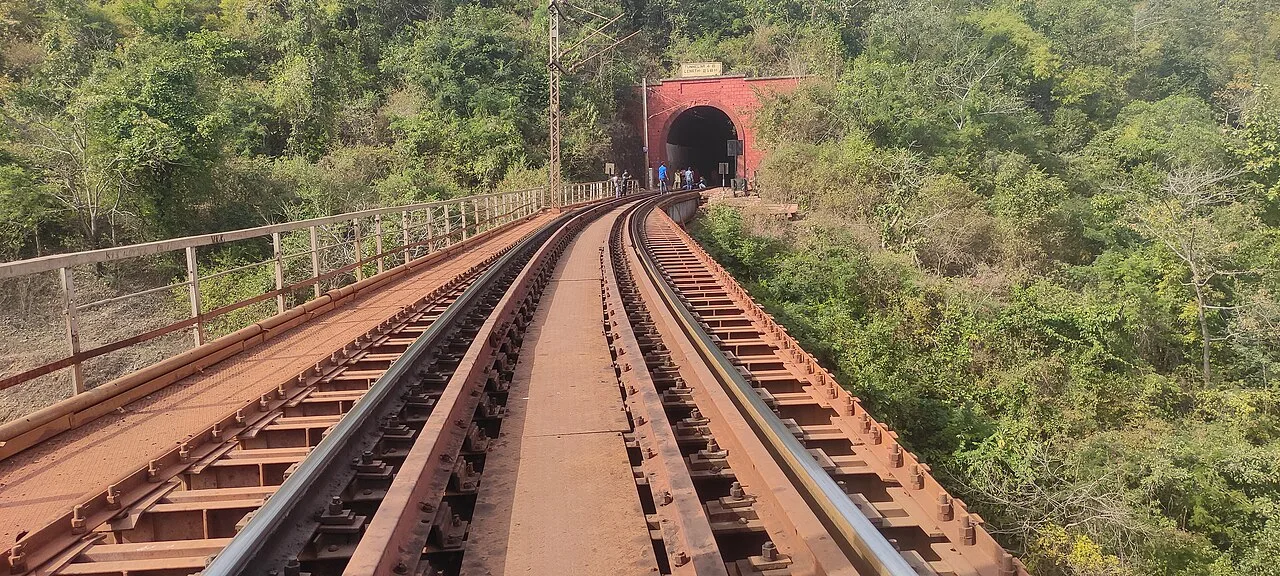
Birsa Munda Airport in Ranchi is the state’s main air gateway. Deoghar Airport also serves the pilgrimage region, though route options and frequency can change, so check current services before planning around it. Major rail access points include Ranchi, Tatanagar in Jamshedpur, Dhanbad, Bokaro Steel City and Jasidih, with Jasidih useful for Deoghar. Connections and the most convenient station depend on the destination; for example, Giridih and the forest destinations may require a further road journey. Check current rail information when arranging connections, especially for places beyond the larger cities.

Road travel links the state’s towns and attractions, with national highways including NH 19, NH 20, NH 33 and NH 43 serving parts of the network. Routes between Ranchi, Jamshedpur, Dhanbad, Bokaro, Hazaribagh and Deoghar are used for intercity travel, while smaller roads lead to waterfalls, forest areas and villages. Buses and shared vehicles connect many towns, and taxis or locally hired vehicles can help with remote sites; arrange the return journey in advance where public transport is limited. Within cities, auto-rickshaws and app-based services may be available, but coverage varies. A local guide or driver can be useful for rural routes and nature visits. Allow extra time for road conditions, weather and stops.

When to go & travel tips

October to February is generally comfortable for city visits, heritage trips and many forest excursions. The monsoon, roughly June to September, brings lush scenery and stronger waterfalls around Ranchi, Khunti and Latehar, but trails and roads can be slippery and water levels may be hazardous. For Betla and other forest areas, the cooler dry months are often more practical; wildlife sightings are never guaranteed. Deoghar’s Shravani pilgrimage season usually falls in July and August, bringing large crowds. Spring is a good time to experience Sarhul, though festival dates vary by community and lunar calendar.

Pack light clothing for warm weather, a rain layer and shoes with grip if travelling in the wet season, and warmer layers for winter mornings and evenings. Carry drinking water on rural excursions and check local conditions before approaching waterfalls or river edges. Ask permission before photographing people, homes or ceremonies, and dress respectfully at temples and other sacred sites. For protected areas, confirm current entry rules and any permit requirements with the relevant forest department or official source; do not assume access is unrestricted. Use established routes, follow guide instructions and avoid travelling unfamiliar forest roads after dark.

Highlights

Where to begin

City by city

Cities & hubs of Jharkhand

Every sight is grouped under its city — places within about 12 km together, day trips within 40 km alongside — even across district lines. Open a city to see its attractions.

See every city, town and village of Jharkhand

Away from the cities — 9 more places by district

District discovery

Jharkhand: 18 districts covered

Open a district to see its destinations and neighbours. More districts are added as our team writes them.

18 of 18 districts have destination guides

Destinations

Every guide in this state

Open a district to see its cities and towns, villages and places to see.

Bokaro2 places

Cities & towns

Places to see

Chatra1 place

Places to see

Deoghar4 places
Dhanbad3 places
Dumka3 places
East Singhbhum4 places
Giridih4 places
Gumla1 place

Places to see

Hazaribagh3 places
Khunti1 place

Villages

Koderma1 place

Places to see

Latehar4 places
Palamu2 places
Ramgarh1 place

Places to see

Ranchi8 places
Sahibganj3 places
Seraikela Kharsawan1 place

Places to see

West Singhbhum2 places

Places to see

Festivals & fairs

The calendar here

Full calendar

Festivals of Jharkhand through the year

Usual season and where each is best known. Exact dates follow local calendars — linked festivals have dated guides.

  • SarhulMarch–AprilRanchi and other tribal districts.
  • Karma (September) and Sohrai (October–November, Hazaribagh): tribal festivals
  • TusuJanuaryMakar festival, especially in the southern districts.
  • Shravani MelaJuly–AugustDeoghar.
  • Rath YatraRanchi.
  • Mage Parab (January) and Jani Shikar: Ho and Oraon communities
  • Chhath is widely celebrated
From travellers and locals

Be the first to share photos, stories, advice or a helpful contact for Jharkhand.

Loading…