Ghumoopedia — Explore, Discover, Experience
Sign in
Netarhat, near Lohardaga

City guide · Jharkhand

Lohardaga

Lohardaga is a town west of Ranchi and the administrative headquarters of Lohardaga district. Its regional importance comes from this role in public services and from its position in the Chotanagpur plateau, where towns serve communities spread across rural and hilly areas.

Famous for

  • Bauxite mining
  • Chotanagpur administrative history
  • District headquarters
  • Tribal festivals and culture
  • Plateau landscapes

Why Lohardaga matters

Lohardaga is a town west of Ranchi and the administrative headquarters of Lohardaga district. Its regional importance comes from this role in public services and from its position in the Chotanagpur plateau, where towns serve communities spread across rural and hilly areas. The town is also closely associated with bauxite mining: deposits in the surrounding district supply the aluminium industry, with companies including Hindalco operating mines in the area.

For visitors, Lohardaga offers a quieter, less urban view of Jharkhand than the state capital. The central town gives a sense of everyday market life and district administration, while the surrounding countryside reflects the plateau’s hills, forests and villages. Its cultural life is shaped by the region’s Adivasi communities as well as wider Jharkhand traditions, visible in seasonal festivals, music and local worship. Lohardaga is not primarily a resort destination; it is of interest to travellers exploring the region, its communities and its mining economy, or using the town as a base for local journeys.
Famous for: crafts, trade & products

Lohardaga is best known commercially for bauxite rather than for a signature textile, craft or widely recognised GI-tagged product. Bauxite mined in the surrounding area feeds alumina refineries in different parts of India, making mining a defining part of the district’s economy. Hindalco is among the organisations active in the local mining sector. Mines are industrial sites, not ordinary visitor attractions, and access should not be assumed.

In town, the central bazaar and surrounding shopping streets are the practical places to look for everyday goods, groceries, clothing and locally used household items. Shops and markets serve residents from the town and nearby villages; they are more useful for observing regional commerce than for seeking a specialised souvenir tradition. Seasonal agricultural produce and goods connected with daily rural life may appear in local trade, though availability varies. Visitors interested in the town’s institutional history can also note the former commissioner’s office, which now houses the Lohardaga Municipality office. For distinctive handicrafts or branded regional products, ask locally about current availability rather than expecting a dedicated craft market.

History

Lohardaga’s history is intertwined with that of the Chotanagpur plateau. The wider region was shaped by Nagvanshi rule before coming under British colonial administration. In the early twentieth century, Lohardaga served as the headquarters of the Chotanagpur Commissionary, giving the town an administrative standing beyond its present district role. The commissionary headquarters later shifted to Ranchi as Ranchi grew as the region’s principal administrative centre.

An important trace of that earlier role remains in the former commissioner’s office building, now used by the Lohardaga Municipality. The town subsequently developed as a district headquarters, with government offices, services and a market supporting nearby settlements. In modern times, the growth of bauxite mining in the surrounding area has linked Lohardaga to India’s aluminium supply chain. Its present character therefore reflects both its history as an administrative centre and its position within a mineral-producing district.

Food, festivals & culture

Everyday food in Lohardaga reflects Jharkhand’s rice-based cooking. Rice, lentils, seasonal vegetables and locally prepared flatbreads are common; visitors may also come across dhuska, pitha and other regional snacks. Sweets and food offerings vary by household and festival, so there is no single city-specific dish to seek out. Local eateries and market-side stalls are the easiest places to sample ordinary meals.

The cultural calendar includes Sarhul, usually celebrated in spring, and Karma, commonly observed during the monsoon season. Sohrai is associated with the post-harvest period, while Chhath is widely observed in autumn. Adivasi traditions, including those of Oraon communities, are an important part of the district’s cultural life. Hindi and Sadri are widely used; Kurukh and Nagpuri are also heard in the region. Folk songs and dances, including Karma and Jhumar traditions, accompany community celebrations. Hindu temples, churches and Sarna places of worship reflect the varied religious life of the town and its surrounding villages.

Visiting the city

October to February is generally the most comfortable period to visit, with milder weather than the hot months. The nearest airport is Birsa Munda Airport in Ranchi; Lohardaga Railway Station serves the town by rail. Road travel from Ranchi is another practical option. Within town, auto-rickshaws and local vehicles are useful for short trips, while a hired vehicle can help with journeys into the district. Confirm local transport arrangements on arrival.

Explore the central bazaar and nearby administrative area for shops and everyday town life, including the former commissioner’s office now used by the municipality. The edges of town offer a transition toward the plateau’s rural landscape. Mining areas are industrial properties, so do not enter without permission. Lohardaga works best as a modest town stop or a base for planned district excursions rather than as a destination built around a large cluster of visitor facilities.

Trips from the city

Nearest places to visit from Lohardaga

Our closest destination guides, by straight-line distance.

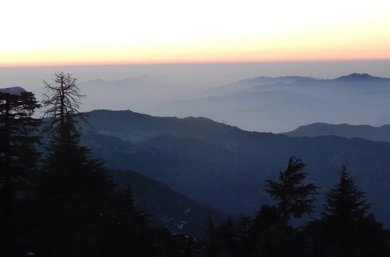
Netarhat

42 km away · Latehar district

Netarhat

Netarhat, in Jharkhand’s Latehar district, is a hill station on the Chotanagpur plateau. Visitors come to experience its hills, forest and waterfalls.

Lower Ghaghri Falls

46 km away · Latehar district

Lower Ghaghri Falls

Lower Ghaghri Falls is a 320-foot cascade in Latehar district, Jharkhand, about 10 kilometres from Netarhat. Visitors come to see the waterfall and its forest surroundings.

49 km away · Gumla district

Sadni Falls

Sadni Falls, also called Sadnighagh Falls, is a waterfall in Jharkhand’s Gumla district, about three kilometres from Rajadera village. Visitors go there to see the falls.

Jagannath Temple

63 km away · Ranchi district

Jagannath Temple

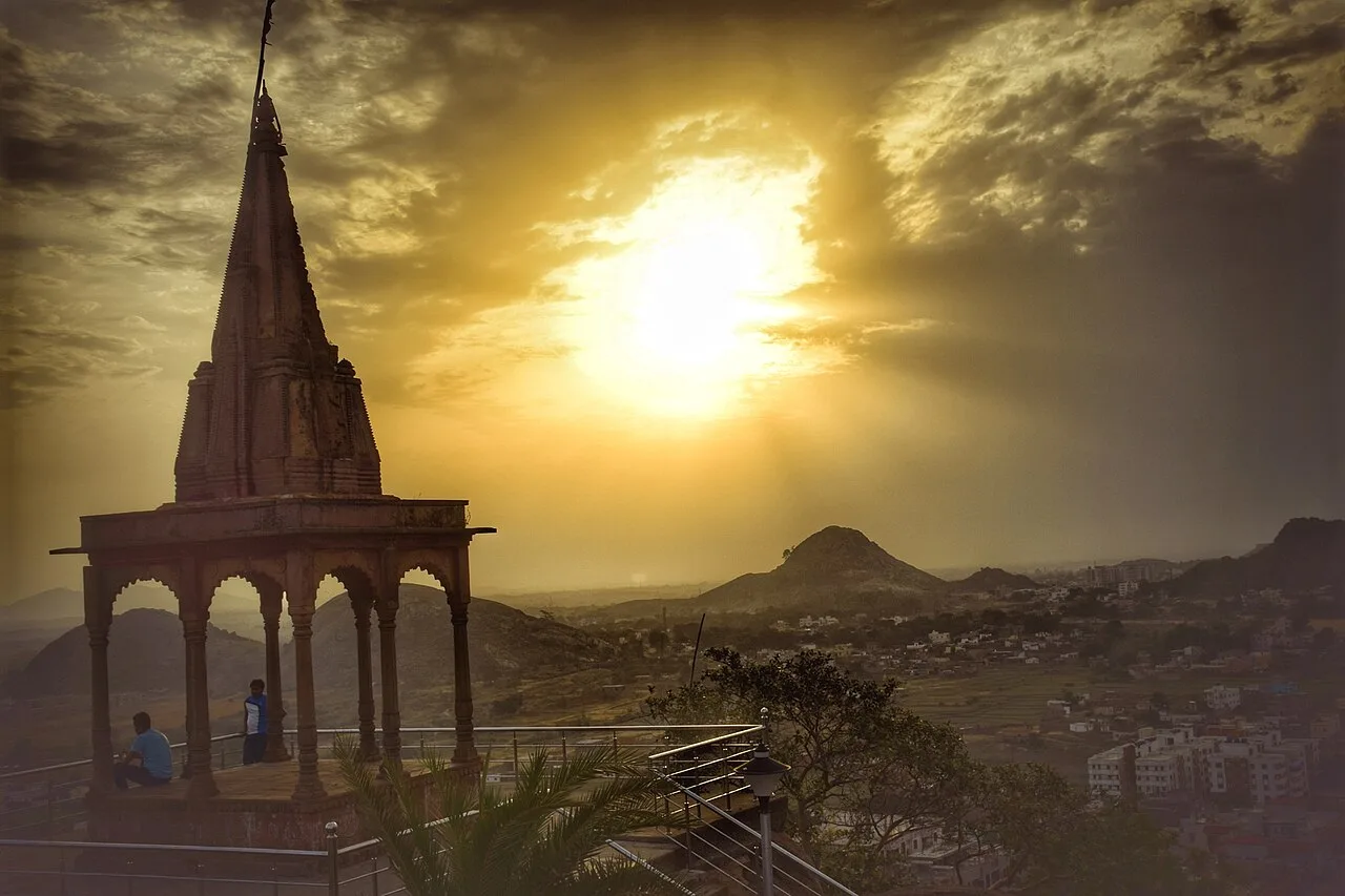
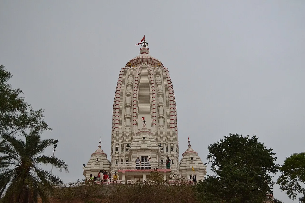
Dedicated to Jagannath, this Hindu shrine in Ranchi, Jharkhand, draws worshippers for its hilltop setting and the annual Rath Yatra and fair held during Aashaadha.

Pahari Mandir

65 km away · Ranchi district

Pahari Mandir

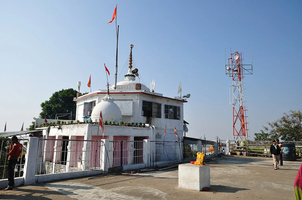
Pahari Mandir is a Shiva shrine on a hill in Ranchi, known for worship during Sawan and Shivaratri, its colonial-era history and flag-raising ceremonies.

Patratu

67 km away · Ranchi district

Patratu

Patratu is a census town in Jharkhand, linked administratively to Patratu block and Ramgarh subdivision. The details provided do not identify a specific visitor attraction.

Tagore Hill

67 km away · Ranchi district

Tagore Hill

Tagore Hill, also called Morabadi Hill, is a Ranchi landmark linked to Jyotirindranath Tagore and his family. Visitors are drawn by this history and the buildings associated with his time there.

Lodh Falls

68 km away · Latehar district

Lodh Falls

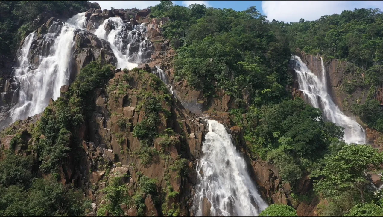
Lodh Falls, also called Budha Ghagh, is a waterfall in Latehar district, Jharkhand. Visitors come to see the Burha River’s falls, which are the tallest in the state.

Map

Lohardaga on the map

  1. 1Netarhat
  2. 2Lower Ghaghri Falls
  3. 3Sadni Falls
  4. 4Jagannath Temple
  5. 5Pahari Mandir
  6. 6Patratu
  7. 7Tagore Hill
  8. 8Lodh Falls

Jharkhand

Other cities to explore