Ghumoopedia — Explore, Discover, Experience
Sign in
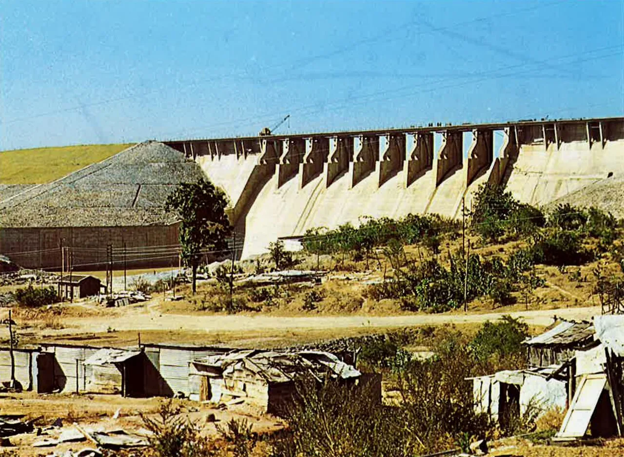
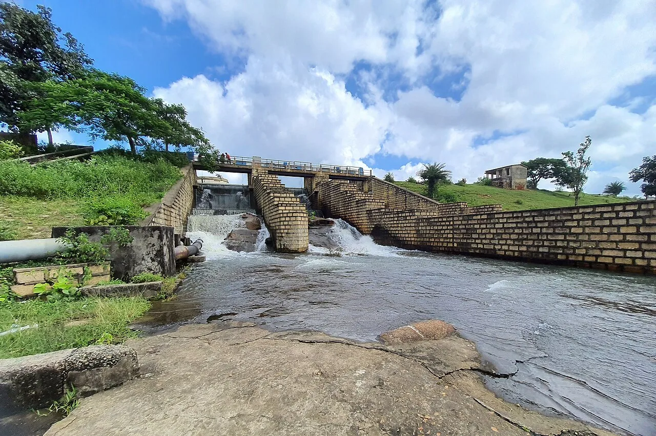
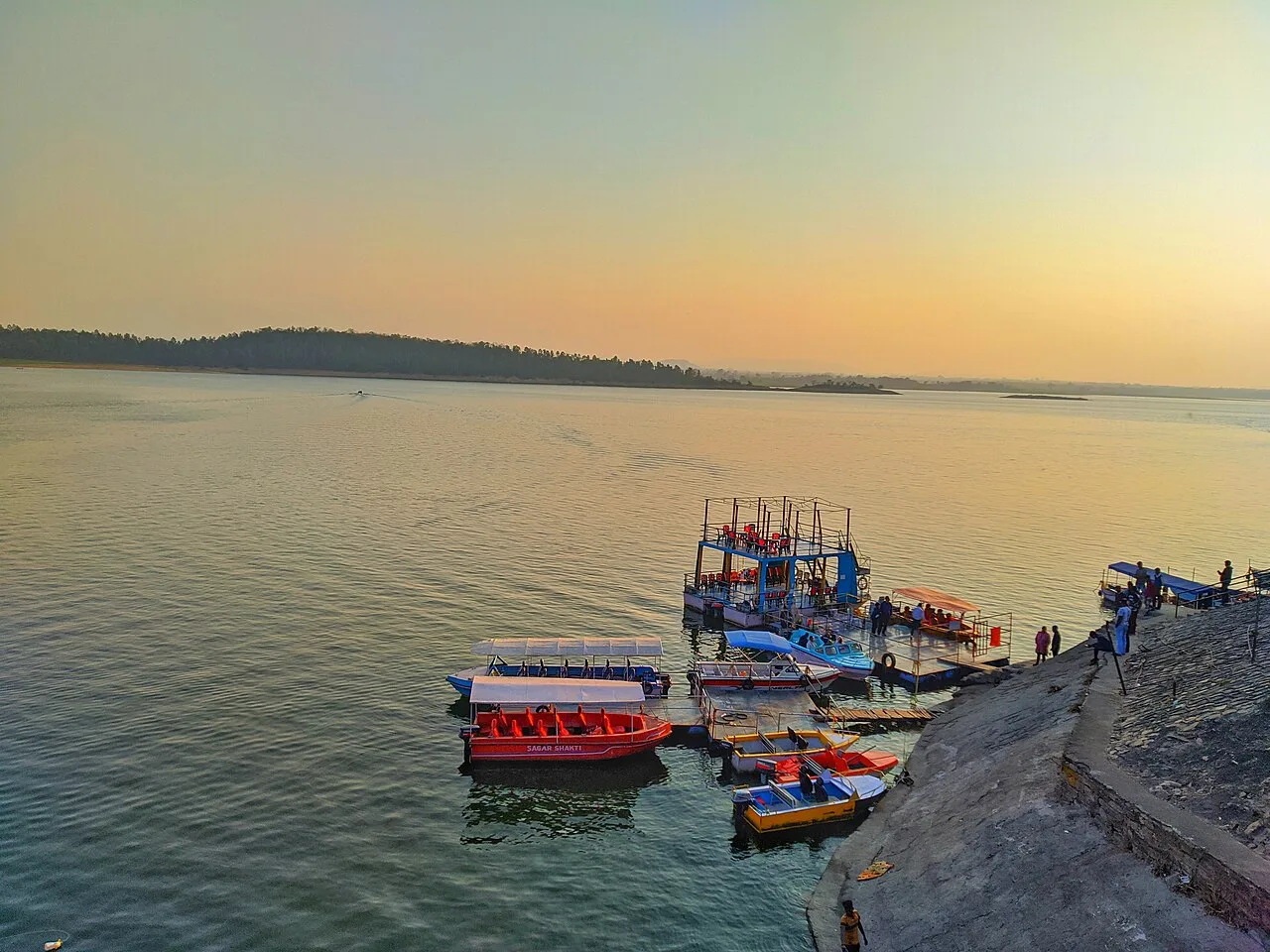
Tilaiya Dam, near Domchanch

City guide · Jharkhand

Domchanch

Domchanch is a small town in Koderma district, serving as the headquarters of Domchanch block. Its importance is chiefly regional: residents from nearby villages come here for local services, shopping and connections to other parts of the district.

Famous for

  • Koderma mica belt
  • Domchanch block centre
  • Jharkhand plateau setting
  • Access to Tilaiya Dam

Why Domchanch matters

Domchanch is a small town in Koderma district, serving as the headquarters of Domchanch block. Its importance is chiefly regional: residents from nearby villages come here for local services, shopping and connections to other parts of the district. The town also sits within a district widely associated with mica-bearing ground and a landscape of wooded plateau country, giving it a place in the story of Koderma’s mining and rural economy.

Domchanch is not a major sightseeing centre, but it can be a useful base for exploring the surrounding countryside and visiting attractions elsewhere in the district. Tilaiya Dam, built across the Barakar River, is among the better-known regional excursions. Koderma Junction, the district’s main rail hub, connects the area to wider routes, while roads link Domchanch with nearby settlements and district centres. Visitors are most likely to come for family, business or local travel rather than a resort experience; the town’s appeal lies in its everyday role and its setting within northern Jharkhand.
Famous for: crafts, trade & products

Domchanch is associated with the wider Koderma mica belt. Mica mining and trade have shaped the district’s identity, although specific mines, processing businesses and retail outlets should not be assumed to be located within the town itself. The area also has quarrying activity, but visitors should check locally before seeking a particular product or site. Domchanch is not established as a centre for a distinctive textile, handicraft or GI-tagged product.

For everyday shopping, the town’s local bazaar is the most practical place to look for groceries, household goods and locally traded produce. Those interested in the district’s mining history may find more useful context through local enquiries in Domchanch or Koderma town. Visitors should treat mineral specimens and claims about their origin cautiously, and buy only through legitimate sellers. The town’s best-known commercial connection is therefore to the economic landscape of the surrounding district, rather than to a signature consumer product.

History

Its present importance is easier to understand through its role as a local centre within Koderma district: it serves the surrounding block and nearby rural communities.

The broader Koderma region became known for mica, and mining and mineral trade influenced its economic development, including during the colonial era. This regional history should not be confused with a claim that all mining activity took place inside Domchanch. In modern times, the town’s administrative role has been reinforced by its position in the Koderma subdivision and by road links to other settlements. The district’s rail connections, especially through Koderma Junction, have also helped connect the area to wider markets and travel routes. Domchanch’s growth has thus been largely that of a service and market centre within a predominantly rural district.

Food, festivals & culture

Daily life in Domchanch reflects the mix of town and village traditions found across northern Jharkhand. Hindi is widely used, alongside regional speech such as Khortha; Urdu is also spoken in the district. Rice, dal, seasonal vegetables and leafy greens are familiar staples. Dishes such as dhuska, pittha and litti are found in the wider region, though they are not exclusive to Domchanch. Visitors can ask locally for seasonal snacks and sweets rather than expect a celebrated town-specific speciality.

The festival calendar commonly includes Chhath, observed especially in autumn and spring; Sarhul and Karma, associated with seasonal and Adivasi traditions; and Holi, Diwali and Eid. Family gatherings, worship and community celebrations are central to these occasions. Folk music and dance traditions are part of the wider Jharkhand cultural landscape, though performances are more likely at festivals or community events than on a regular visitor schedule. Local temples and mosques serve as everyday places of worship; visitors should ask residents about suitable visiting etiquette and any locally significant celebrations.

Visiting the city

The cooler months, roughly October to March, are generally the most comfortable for a visit; summer can be hot, while monsoon rain may affect road journeys. The nearest major rail gateway is Koderma Junction, outside Domchanch. Gaya Airport is a practical nearby air gateway, though travellers should check current flight connections before planning. Road transport, including buses and shared or hired vehicles, links Domchanch with Koderma and surrounding settlements; local autos can help with shorter trips.

Explore the town bazaar for everyday activity and local services. For a countryside outing, ask about road conditions and transport to Tilaiya Dam and other district destinations. Domchanch is a modest service town rather than a resort area, so plan accommodation and onward travel in advance, especially if visiting during a festival or for business.

Trips from the city

Nearest places to visit from Domchanch

Our closest destination guides, by straight-line distance.

Tilaiya Dam

24 km away · Koderma district

Tilaiya Dam

Tilaiya Dam, in Jharkhand’s Koderma district, spans the Barakar River and was the earliest of four multipurpose dams in the Damodar Valley Corporation’s first phase, giving it historical significance.

Hazaribagh Wildlife Sanctuary

50 km away · Hazaribagh district

Hazaribagh Wildlife Sanctuary

Located in Jharkhand’s Hazaribagh district, this sanctuary was established in 1955, about 55 miles (89 km) north of Ranchi. People visit to see wildlife such as deer, monkeys and birds.

Itkhori

57 km away · Chatra district

Itkhori

Itkhori is a village and gram panchayat in Jharkhand’s Chatra district. Visitors to the area come to see the settlement and its place within the Itkhori CD block.

Konar Dam

60 km away · Hazaribagh district

Konar Dam

Konar Dam is a multipurpose dam in Jharkhand’s Hazaribagh district, built on the Konar River as part of the Damodar Valley Corporation’s first-phase programme. Visitors come to the area for recreation.

Khandoli Dam

71 km away · Giridih district

Khandoli Dam

Khandoli Dam is a reservoir in Giridih district, Jharkhand, where visitors come to see the site at the base of Khandoli Hill.

Parasnath

72 km away · Giridih district

Parasnath

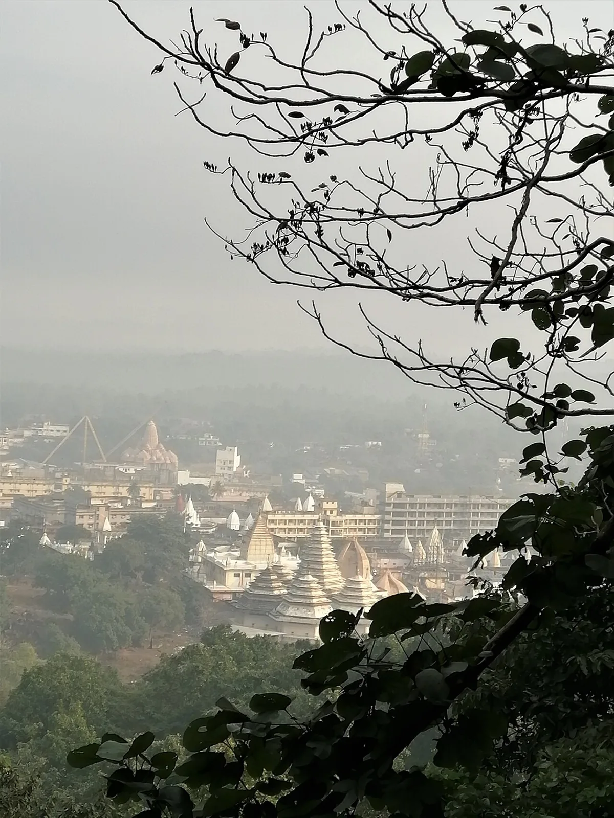
Parasnath is a summit in Jharkhand’s Giridih district and part of the range that bears its name. People visit Shikharji, the Jain pilgrimage site on the summit, linked to Parshvanatha.

Shikharji

73 km away · Giridih district

Shikharji

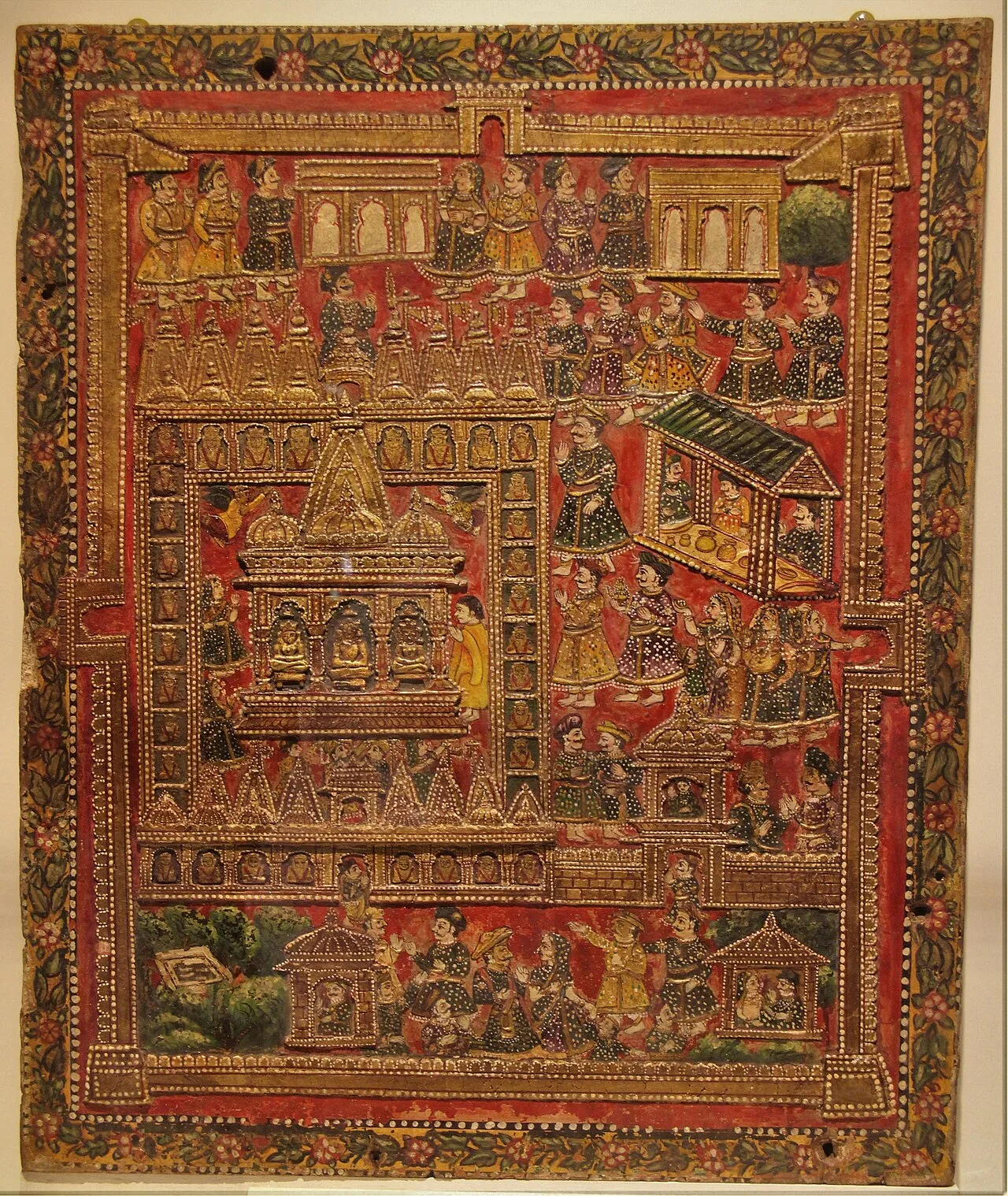
In Jharkhand’s Giridih district, Shikharji—also called Sammet or Sammed Shikharji—is a major Jain sacred destination, visited because tradition holds that many spiritual teachers attained liberation there.

Usri Falls

81 km away · Giridih district

Usri Falls

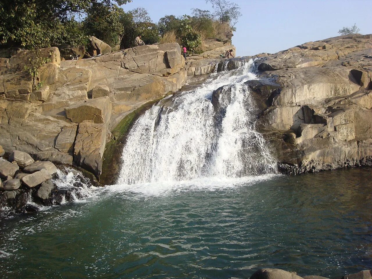
Usri Falls is a waterfall in Giridih district, Jharkhand, visited by tourists and picnickers. The name Ushree means beautiful source.

Map

Domchanch on the map

  1. 1Tilaiya Dam
  2. 2Hazaribagh Wildlife Sanctuary
  3. 3Itkhori
  4. 4Konar Dam
  5. 5Khandoli Dam
  6. 6Parasnath
  7. 7Shikharji
  8. 8Usri Falls

Jharkhand

Other cities to explore