Ghumoopedia — Explore, Discover, Experience
Sign in
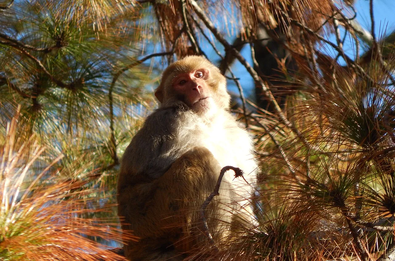
Betla National Park, near Garhwa

City guide · Jharkhand

Garhwa

Garhwa is the administrative centre of Garhwa district in western Jharkhand and an important service town for communities across the surrounding region. Its location near Uttar Pradesh, Bihar and Chhattisgarh gives it a practical role in travel and trade across state boundaries.

Famous for

  • Garhwa district headquarters
  • Garhwa Road rail junction
  • Interstate bus connections
  • Regional trade hub

Why Garhwa matters

Garhwa is the administrative centre of Garhwa district in western Jharkhand and an important service town for communities across the surrounding region. Its location near Uttar Pradesh, Bihar and Chhattisgarh gives it a practical role in travel and trade across state boundaries. Government offices, local businesses and transport services make the city a useful base for people visiting the district for work or everyday needs.

Transport is a major part of Garhwa’s identity. Garhwa Town station serves the city, while Garhwa Road Junction, around 12–15 km away, links the area with long-distance rail routes. The Sonpurwa interstate bus stand adds road connections to towns in Jharkhand and neighbouring states. Visitors are more likely to come for regional business, administration or onward travel than for a cluster of major tourist attractions within the city itself. Garhwa is best understood as a working regional hub, with the wider district offering the context for excursions beyond its urban centre.
Famous for: crafts, trade & products

Garhwa is better known for administration, transport and regional commerce than for a signature textile, handicraft or GI-tagged product. There is no widely established city-specific craft or product for which Garhwa is particularly recognised. Its commercial role comes partly from serving residents and travellers from Garhwa district and nearby parts of neighbouring states.

For everyday shopping, visitors can look to the town’s central market areas and shops for routine goods, household supplies and locally traded produce. The Sonpurwa area is closely associated with interstate bus travel and the practical businesses that serve passengers. Garhwa Road Junction, outside the city, is another important point of movement rather than a specialist shopping destination. Those seeking distinctive regional crafts or products may find a broader selection by exploring markets across the district, but it is sensible to ask locally about availability rather than expect a particular item to be consistently stocked. Garhwa’s strongest commercial identity is its role as a convenient exchange and service centre, not a nationally recognised manufacturing or craft hub.

History

Garhwa’s recorded administrative history is more clearly documented than a separate account of its early rulers or a distinct colonial-era urban centre. For much of its modern administrative past, it was a subdivision of the former Palamu district. Its location in the southwest of Palamu division connected it with settlements and routes across what are now Jharkhand, Uttar Pradesh, Bihar and Chhattisgarh.

On 1 April 1991, Garhwa was separated from Palamu along with eight administrative blocks to form an independent district. The city became the district headquarters, bringing government services and administration into sharper focus locally. The district now comprises 20 blocks. In the decades since district formation, Garhwa’s civic and commercial importance has been reinforced by road links, local rail service and the nearby Garhwa Road Junction. These connections have helped it develop as a centre for public services, regional travel and trade, while its growth remains closely tied to the needs of the wider district.

Food, festivals & culture

Garhwa shares food traditions with western Jharkhand and neighbouring regions. Rice, lentils, seasonal vegetables and leafy greens are common parts of everyday meals; wheat-based foods and snacks also reflect links with nearby states. There is no single sweet or dish that defines the city, so visitors will generally find familiar home-style cooking and regional snacks rather than a distinct culinary speciality.

Holi, Diwali and Chhath are widely observed in the wider region; Chhath is especially associated with devotional gatherings by water during its usual autumn observance, as well as a spring observance. Sarhul, a spring festival celebrated in Jharkhand, is also part of the broader cultural calendar. Eid and Christmas are observed by local communities too. Hindi is widely used, while Bhojpuri and other regional speech forms are heard in daily life. Music and dance vary across communities and occasions, with folk performance particularly visible during festivals and celebrations. Temples, mosques, churches and other places of worship serve the city’s diverse communities.

Visiting the city

The cooler months, roughly from October to March, are generally the most comfortable time to visit. Birsa Munda Airport in Ranchi is the nearest major airport, about 165 km away. In the city, Garhwa Town (GHQ) is the primary local railway station; Garhwa Road Junction (GHD), around 12–15 km away, is the main long-distance rail hub. Buses and road services connect Garhwa with towns in Jharkhand and neighbouring states.

Auto-rickshaws and local road transport are useful for getting around, while buses serve longer regional journeys. The central civic and market areas are practical places to explore on foot or by short ride, and Sonpurwa is worth noting as the city’s busy interstate bus area. Travellers using Garhwa Road Junction should allow for the distance between the junction and the city centre when planning onward travel. Garhwa is also a convenient base for exploring the wider district.

Trips from the city

Nearest places to visit from Garhwa

Our closest destination guides, by straight-line distance.

Betla National Park

50 km away · Palamu district

Betla National Park

Betla National Park is in Jharkhand’s Palamu and Latehar districts. Visitors come for its varied wildlife and to experience the state’s only national park.

Palamu fort

52 km away · Palamu district

Palamu fort

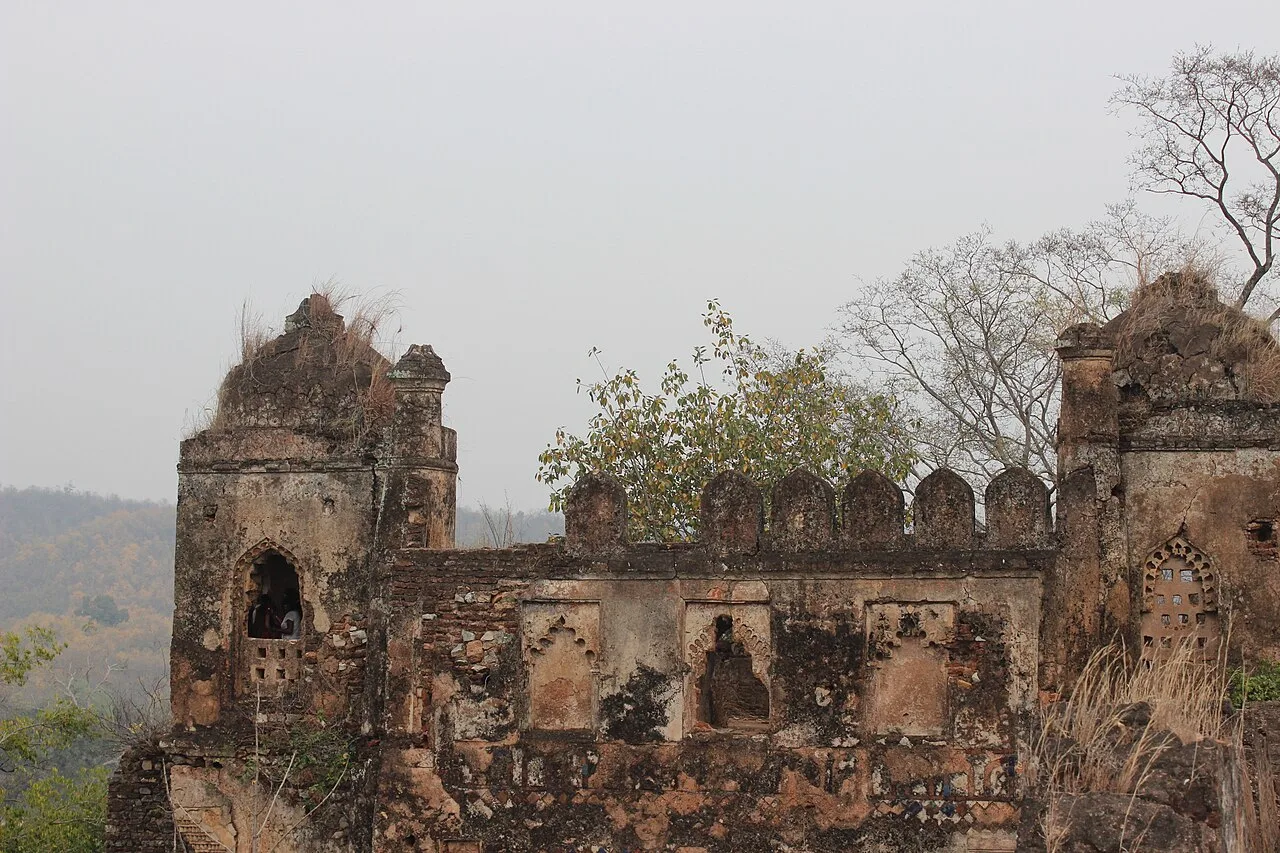
Palamu Fort is a pair of ruined strongholds in Jharkhand, associated with the Chero dynasty. Visitors come to see their remains near Betla National Park and the Auranga River.

Lodh Falls

79 km away · Latehar district

Lodh Falls

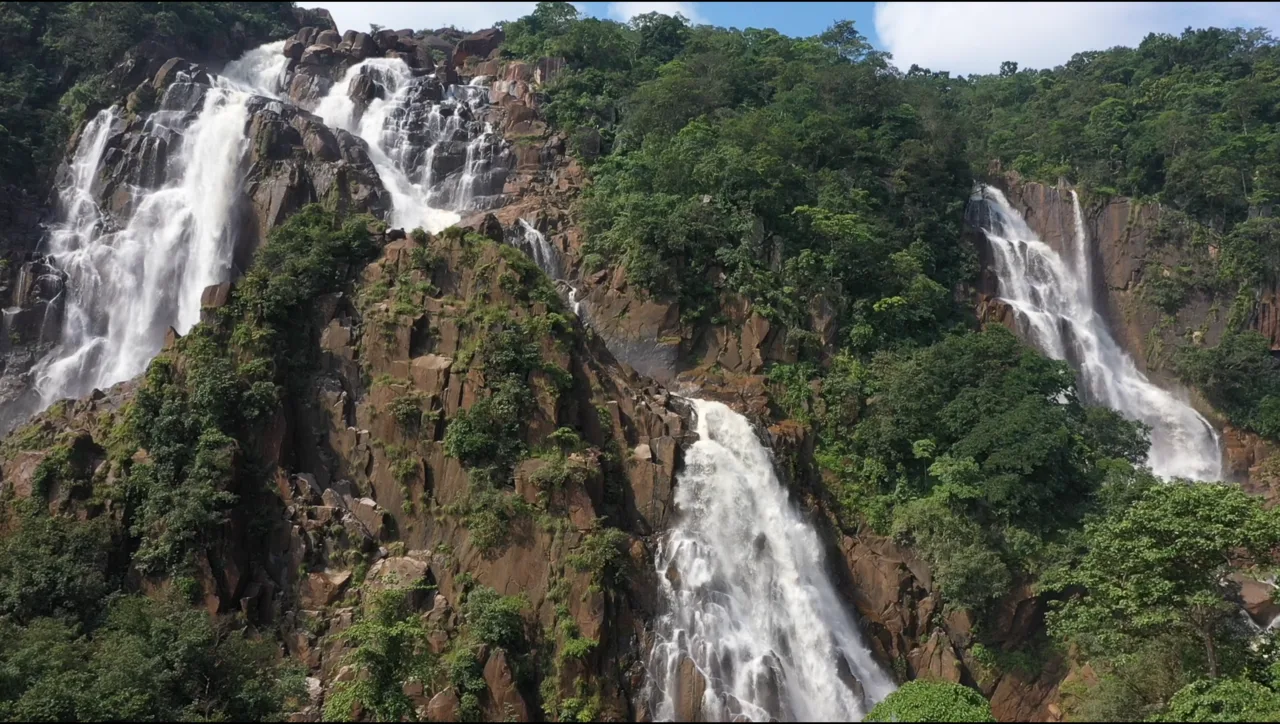
Lodh Falls, also called Budha Ghagh, is a waterfall in Latehar district, Jharkhand. Visitors come to see the Burha River’s falls, which are the tallest in the state.

Lower Ghaghri Falls

83 km away · Latehar district

Lower Ghaghri Falls

Lower Ghaghri Falls is a 320-foot cascade in Latehar district, Jharkhand, about 10 kilometres from Netarhat. Visitors come to see the waterfall and its forest surroundings.

Netarhat

89 km away · Latehar district

Netarhat

Netarhat, in Jharkhand’s Latehar district, is a hill station on the Chotanagpur plateau. Visitors come to experience its hills, forest and waterfalls.

107 km away · Gumla district

Sadni Falls

Sadni Falls, also called Sadnighagh Falls, is a waterfall in Jharkhand’s Gumla district, about three kilometres from Rajadera village. Visitors go there to see the falls.

Itkhori

138 km away · Chatra district

Itkhori

Itkhori is a village and gram panchayat in Jharkhand’s Chatra district. Visitors to the area come to see the settlement and its place within the Itkhori CD block.

Hazaribagh Wildlife Sanctuary

158 km away · Hazaribagh district

Hazaribagh Wildlife Sanctuary

Located in Jharkhand’s Hazaribagh district, this sanctuary was established in 1955, about 55 miles (89 km) north of Ranchi. People visit to see wildlife such as deer, monkeys and birds.

Map

Garhwa on the map

  1. 1Betla National Park
  2. 2Palamu fort
  3. 3Lodh Falls
  4. 4Lower Ghaghri Falls
  5. 5Netarhat
  6. 6Sadni Falls
  7. 7Itkhori
  8. 8Hazaribagh Wildlife Sanctuary

Jharkhand

Other cities to explore