
Ghumoopedia — Explore, Discover, Experience
Sign in
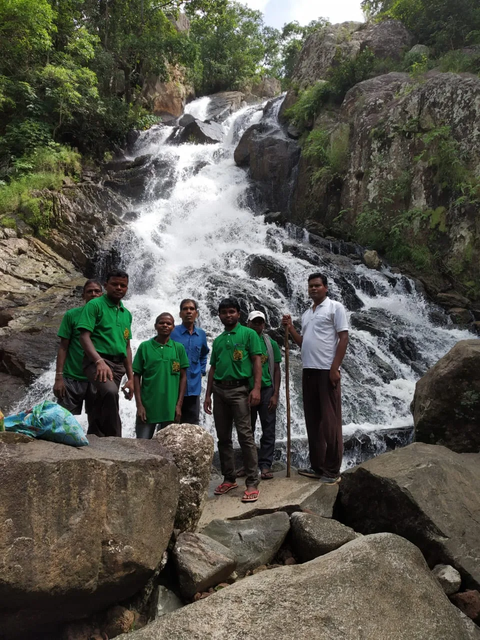
Lower Ghaghri Falls, near Netarhat

City guide · Jharkhand

Netarhat

Netarhat is a hill station in Latehar district, set high on the forested Pat region of the Chota Nagpur Plateau. At about 1,128 metres, it is known for open views, wooded slopes and a cooler setting than the plains.

Famous for

  • Chota Nagpur plateau scenery
  • Sunrise and sunset viewpoints
  • Forest waterfalls
  • Sal and mahua forests
  • Netarhat Vidyalaya
In the city
2
Nearby
2
Districts
Latehar, Gumla

Why Netarhat matters

Netarhat is a hill station in Latehar district, set high on the forested Pat region of the Chota Nagpur Plateau. At about 1,128 metres, it is known for open views, wooded slopes and a cooler setting than the plains. Often called the Queen of Chotanagpur, it serves as a quiet nature destination in western Jharkhand rather than a large commercial centre.

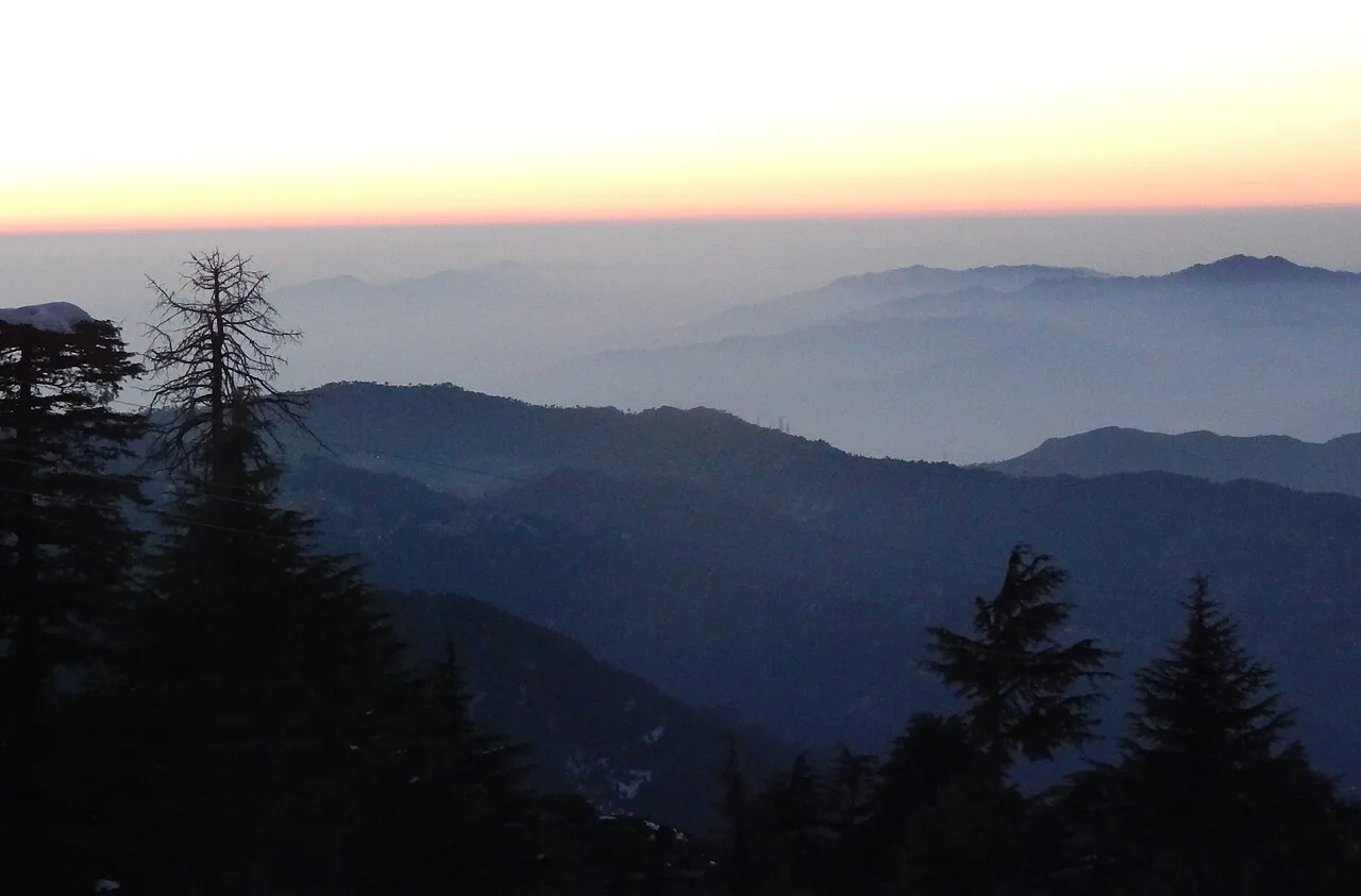
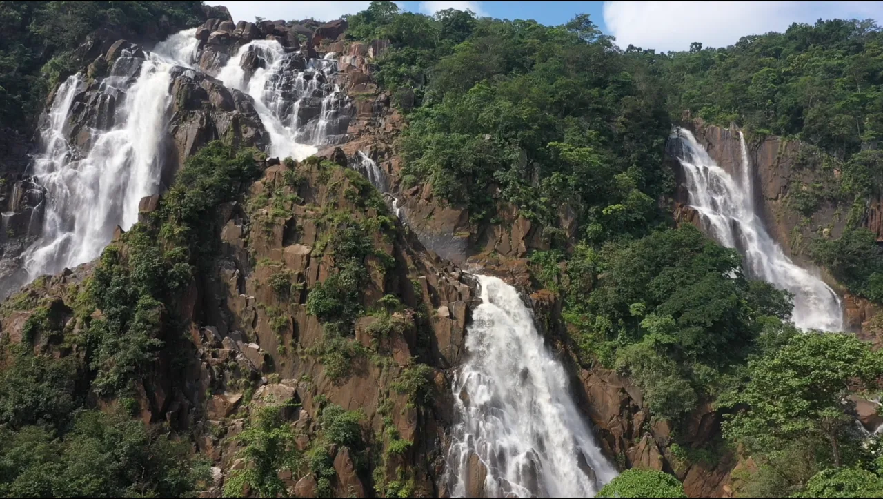
Visitors come for sunrise at Sunrise Point, evening colours at Magnolia Point and nearby cascades such as Upper and Lower Ghaghri Falls. The surrounding landscape includes sal, kendu and mahua trees, while the plateau’s winding roads link viewpoints, orchards and forest areas. Lodh Falls and Sadni Falls are longer excursions. Netarhat is also associated with Netarhat Vidyalaya, a residential school established in 1954. Its appeal today lies in combining scenic stops and forest visits with a slower-paced stay in the uplands.
Famous for: crafts, trade & products

Netarhat is not widely known as a centre for textiles, a signature handicraft, a major market or a GI-tagged product. Its identity is chiefly tied to the plateau landscape and nature tourism. The surrounding forests include sal, kendu and mahua; these are part of the wider regional environment and livelihoods, rather than products with a recognised Netarhat-specific retail market. Visitors should not expect the town to offer the specialist shopping found in larger Jharkhand centres.

The best-known institution associated with the town is Netarhat Vidyalaya, a residential public school founded in 1954. For visitors, local shops and small eateries are practical places to look for everyday provisions and regional snacks, but there is no established craft district or dedicated shopping quarter to recommend. Pear orchards and pine plantings are among the landscape features developed locally, alongside the natural forest. Netarhat’s strongest “local product” is therefore the experience of its viewpoints, wooded surroundings and nearby waterfalls, rather than a particular manufactured good.

History

Netarhat’s public identity is shaped more by its high plateau setting and modern institutions than by a well-known sequence of royal capitals or major urban events. It lies in the Pat region of the Chota Nagpur Plateau, where forested uplands and crystalline rock formations define the landscape. The area’s history is closely connected to the wider Latehar and Palamu region, though Netarhat itself is not generally presented as a major seat of a ruling dynasty.

Its development as a hill station brought greater attention to its cool climate, forests and views. The colonial period forms part of the broader history of hill-station travel in India, but detailed accounts of Netarhat’s early development are limited. A landmark in its modern history is Netarhat Vidyalaya, established in 1954 as a residential public school. Netarhat is now part of Jharkhand, a state created in 2000, and continues to be known principally as a hill destination and educational centre in Latehar district.

Food, festivals & culture

Netarhat shares the food traditions of the wider Jharkhand uplands. Rice, pulses, seasonal vegetables and leafy greens are common staples; visitors may also encounter regional snacks such as dhuska or pitha, though the town is not especially known for a signature dish or sweet. Food availability can be limited outside the main lodging and visitor areas, so choices may be simpler than in a larger town.

Hindi and Sadri/Nagpuri are used in the region, alongside tribal languages such as Kurukh and Mundari. Seasonal community life across Jharkhand includes Sarhul in spring, Karma during the monsoon season, Sohrai around the post-harvest period and Tusu in winter. Folk traditions include group singing and dances associated with these festivals, including Karma and Jhumar forms. Worship in the surrounding countryside may be centred on village shrines, sacred groves and local temples. Netarhat’s cultural experience is consequently rooted in regional traditions and rural life rather than in a large programme of urban festivals.

Visiting the city

The cooler months, broadly October to March, are generally comfortable for viewpoints and forest outings. The monsoon brings fuller waterfalls and lush scenery, but wet weather can make road travel less convenient. Birsa Munda Airport in Ranchi is the nearest major airport commonly used by visitors. Latehar railway station is a useful rail access point; onward travel to Netarhat is by road. Ranchi and Daltonganj are also road gateways.

There is no extensive public transport network for visiting dispersed sights, so arrange a local vehicle or taxi for day trips and check road conditions locally. In and around the settlement, explore Sunrise Point, Magnolia Point, the forested approaches and the pear orchards and pine plantings. Upper Ghaghri Falls is nearby; Lower Ghaghri and more distant falls require additional road travel. Allow extra time for Lodh Falls, which lies well beyond the immediate hill-station area.

Attractions

Places to visit in Netarhat

Sights within about 12 km of each other, even when they fall in different districts.

Short trips

Around Netarhat

Within about 40 km — easy half-day or day trips from the city.

Map

Netarhat on the map

  1. 1Lower Ghaghri Falls
  2. 2Netarhat
  3. 3Lodh Falls
  4. 4Sadni Falls

Jharkhand

Other cities to explore