Ghumoopedia — Explore, Discover, Experience
Sign in

City guide · Jharkhand

Simdega

Simdega is the administrative headquarters of its district and an important service centre for southern Jharkhand. Set amid the wooded, rolling plateau of the Chota Nagpur region, it connects surrounding rural communities with government offices, schools, healthcare and local trade.

Famous for

  • Jharkhand hockey talent
  • Biru-Birugarh royal heritage
  • Indigenous and Odia culture
  • South Jharkhand headquarters
  • Christian educational institutions

Why Simdega matters

Simdega is the administrative headquarters of its district and an important service centre for southern Jharkhand. Set amid the wooded, rolling plateau of the Chota Nagpur region, it connects surrounding rural communities with government offices, schools, healthcare and local trade. National Highway 143 links the town with Rourkela and Ranchi, and its position near the Odisha and Chhattisgarh borders gives it a distinctly regional character.

The city is especially associated with hockey: local schools and communities have helped produce players who went on to represent India, earning Simdega a reputation as a cradle of the sport in Jharkhand. Visitors come for the area’s landscape and cultural mix, as well as its historic links with the former Kaisalpur-Birugarh kingdom. Nearby Biru, the seat of the Gajapati royal family, offers a glimpse of that heritage. Simdega is not a large sightseeing destination, but it makes a useful base for exploring the district and understanding the connections between tribal, Odia and Christian cultural traditions.
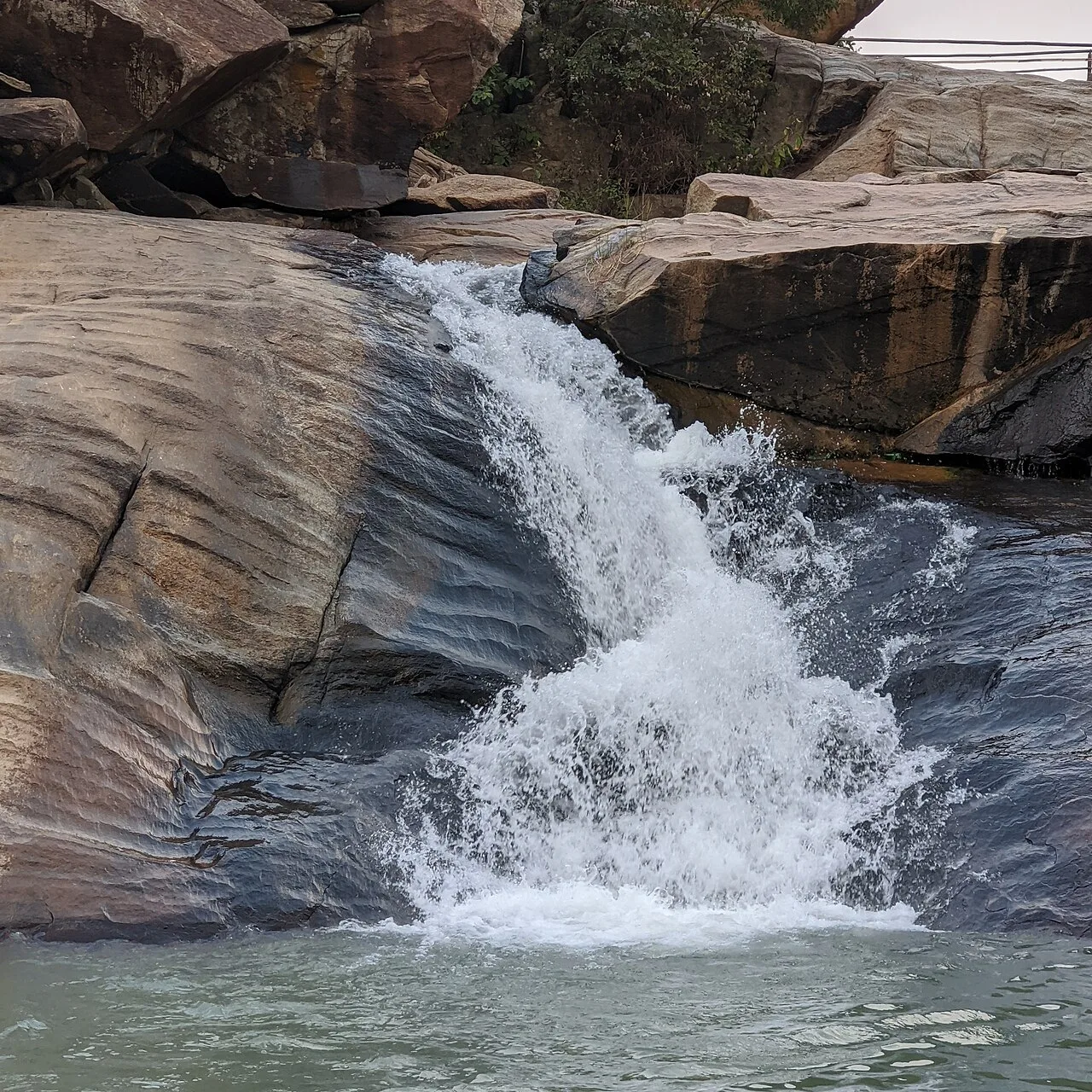
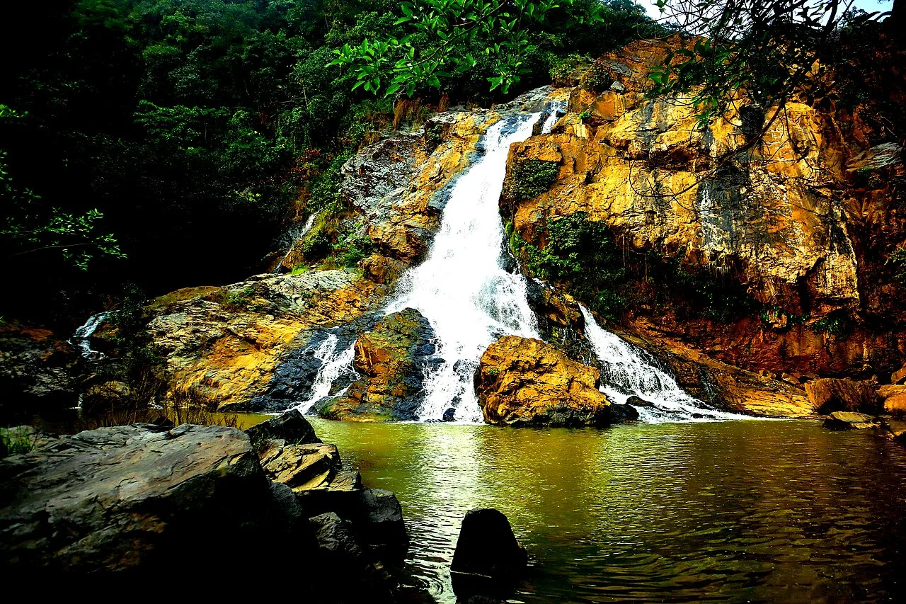
Famous for: crafts, trade & products

Simdega’s strongest contemporary association is hockey rather than a particular manufactured product. The town and its surrounding villages have a notable sporting tradition, supported by schools where young players have developed their skills. Christian educational institutions, including schools established by missionaries, are also an important part of the city’s public life and history.

Local trade serves residents from Simdega and nearby rural settlements. The central town market is the most practical place to look for everyday goods, groceries and seasonal produce. The wider district is rural and forested, but no single craft, textile, saree or GI-tagged product is firmly established as a signature of Simdega; visitors should not expect a specialised crafts bazaar. For a sense of the area’s older social history, Biru-Birugarh, about 11 km from town, is associated with the former ruling family. Simdega’s appeal lies more in its sporting heritage, regional market role and cultural landscape than in a distinct export industry.

History

The area now centred on Simdega was part of the former Kaisalpur-Birugarh Parganas, ruled for centuries by the Ganga Vamsi branch of the Gajapati royal family of the Kalinga region. In the 16th century, Kesalpur was granted as a jagir to Raja Hari Deo. Biru, also known as Birugarh, remains associated with the royal family and lies close to the present town.

Local history reflects sustained links with Odisha as well as the traditions of the region’s Indigenous communities. Odia cultural influence became well established, including through scholars who settled under royal patronage. The local rulers retained authority into the British colonial period. Christian missionaries later established schools, hospitals and parishes on land provided by rulers and local patrons; Jesuit institutions contributed to the spread of formal education. Archaeological discoveries in the wider region have also been connected with early Buddhist and Ashokan-era history, though Simdega’s better-known modern story is its role as a district headquarters and a centre of hockey and education.

Food, festivals & culture

Simdega’s culture reflects the Indigenous communities of the plateau alongside a longstanding Odia influence and a visible Christian presence. Hindi and Sadri are commonly heard, with Odia and local tribal languages also part of everyday life. Community music and group dances, often accompanied by drums, feature at seasonal gatherings and celebrations.

Sarhul, a spring festival honouring nature, and Karma, usually celebrated during the monsoon season, are important in many Indigenous communities. Sohrai is associated with the post-monsoon harvest period. Hindu festivals such as Durga Puja and Diwali are observed, while Christmas is significant for the city’s Christian communities. Rice is central to everyday meals; food habits vary between communities and may include seasonal local produce. Rather than a single city-specific sweet or signature dish, visitors are more likely to find familiar regional foods in local eateries and market stalls. Churches, parish institutions and community places of worship are part of the town’s cultural landscape.

Visiting the city

The cooler months, roughly October to February, are generally the most comfortable time to visit. Monsoon rains can make journeys through the surrounding countryside less predictable. Simdega is connected by National Highway 143; Rourkela is about 83 km away by road. Bano railway station is the nearest rail station. Rourkela Airport is a nearby air option, while Birsa Munda Airport in Ranchi is a major gateway for reaching the region; check current services before planning onward travel.

Auto-rickshaws and hired vehicles are useful for moving around town and visiting nearby places. Explore the central market and civic area for everyday town life, then make an excursion to Biru-Birugarh, around 11 km away, for its association with the former royal seat. A vehicle is helpful for seeing attractions beyond the town.

Trips from the city

Nearest places to visit from Simdega

Our closest destination guides, by straight-line distance.

79 km away · Gumla district

Sadni Falls

Sadni Falls, also called Sadnighagh Falls, is a waterfall in Jharkhand’s Gumla district, about three kilometres from Rajadera village. Visitors go there to see the falls.

Panchghagh Falls

87 km away · Ranchi district

Panchghagh Falls

Panchghagh Falls is a waterfall in Jharkhand, associated with both Khunti and Ranchi districts. Visitors come to see the falls.

Hirni Falls

90 km away · West Singhbhum district

Hirni Falls

Hirni Falls is a waterfall in Jharkhand’s West Singhbhum district. Visitors go to see the waterfall, the defining feature of this place.

Kiriburu

99 km away · West Singhbhum district

Kiriburu

Kiriburu is a Jharkhand census town near the Odisha border, visited for its Saranda forest setting, waterfalls, elephant-related name and iron-ore mines.

Netarhat

99 km away · Latehar district

Netarhat

Netarhat, in Jharkhand’s Latehar district, is a hill station on the Chotanagpur plateau. Visitors come to experience its hills, forest and waterfalls.

Lower Ghaghri Falls

105 km away · Latehar district

Lower Ghaghri Falls

Lower Ghaghri Falls is a 320-foot cascade in Latehar district, Jharkhand, about 10 kilometres from Netarhat. Visitors come to see the waterfall and its forest surroundings.

Lodh Falls

108 km away · Latehar district

Lodh Falls

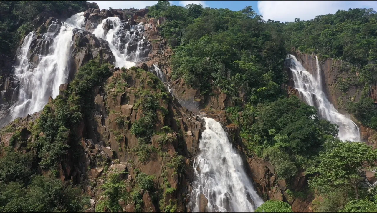
Lodh Falls, also called Budha Ghagh, is a waterfall in Latehar district, Jharkhand. Visitors come to see the Burha River’s falls, which are the tallest in the state.

109 km away · Khunti district

Ulihatu

Ulihatu is a village in Khunti district, Jharkhand, administratively placed in Arki CD block and Khunti Sadar subdivision. These details help visitors identify the village within the district.

Map

Simdega on the map

  1. 1Sadni Falls
  2. 2Panchghagh Falls
  3. 3Hirni Falls
  4. 4Kiriburu
  5. 5Netarhat
  6. 6Lower Ghaghri Falls
  7. 7Lodh Falls
  8. 8Ulihatu

Jharkhand

Other cities to explore