Ghumoopedia — Explore, Discover, Experience
Sign in

City guide · Jharkhand

Satgawan

Satgawan is a village and community development block in Koderma district, in northern Jharkhand. Its importance is chiefly regional: it serves a rural area of settlements, farmland and forested uplands, linked by road to Koderma and neighbouring parts of Jharkhand and Bihar.

Famous for

  • Rural Koderma landscapes
  • Koderma's historic mica trade
  • Barakar River region
  • Tilaiya Dam excursions

Why Satgawan matters

Satgawan is a village and community development block in Koderma district, in northern Jharkhand. Its importance is chiefly regional: it serves a rural area of settlements, farmland and forested uplands, linked by road to Koderma and neighbouring parts of Jharkhand and Bihar. The block office and police station are shown in Baiddih, which is a useful local reference point for visitors and residents travelling through the area.

Satgawan is not a large urban destination, but it offers a way to experience the quieter landscapes and everyday life of the Koderma plateau. The wider district is known for its forest cover, its historic association with mica, and the Barakar River. Tilaiya Dam, built across the river, is among the best-known regional excursions. Visitors generally use Satgawan as a base for local connections or as part of a broader journey through Koderma district rather than as a stand-alone sightseeing centre.
Famous for: crafts, trade & products

Satgawan is a rural centre rather than a recognised hub for a particular textile, handicraft or GI-tagged product. Everyday trade serves nearby villages, with routine goods and agricultural produce circulating through local shops and market activity. Baiddih is a practical point to orient yourself in the block, while larger shopping and service needs are more readily met in Koderma town.

The best-known product association of the wider district is mica, which shaped Koderma’s reputation and economic history. It is a regional industrial legacy, not a visitor-facing craft market, and travellers should not expect a dedicated mica bazaar in Satgawan. The district’s forests and farming landscape also inform local livelihoods, though products vary by season and settlement. For a sense of the area’s commerce, look to everyday village shops and markets; for broader retail, transport services and district-level institutions, Koderma town is the more useful centre. Satgawan’s appeal lies less in shopping than in its rural setting and access to the surrounding region.

History

Satgawan’s history is best understood through the changing administration and economy of the Koderma region. The settlement belongs to a rural plateau landscape whose communities have long relied on cultivation, local exchange and nearby forest resources. No major royal capital or monumental historic centre defines Satgawan itself; its role has been that of a village and block-level centre serving surrounding settlements.

During British rule, the wider Koderma area became associated with mica extraction and trade, which helped connect this once predominantly rural region to larger commercial networks. In the modern period, roads, district administration and rail links strengthened those connections. Koderma district was formed from the larger Hazaribagh region after independence, and Jharkhand’s creation as a state in 2000 brought it into a new state administrative framework. Another important regional landmark is Tilaiya Dam on the Barakar River, the first dam built by the Damodar Valley Corporation; it was inaugurated in 1953. These developments shaped the district around Satgawan, even as the village itself remained primarily rural.

Food, festivals & culture

Daily life in Satgawan reflects the rural culture of northern Jharkhand, with family, farming and village gatherings shaping the calendar. Hindi is widely used, alongside Khortha and other regional speech forms. Meals commonly centre on rice, dal, vegetables and seasonal ingredients. Dhuska and pitha are familiar foods across the broader Jharkhand region, though menus vary from household to household and are not unique to Satgawan.

Major festivals include Chhath, observed especially in autumn and also in spring, and Holi and Diwali. Sarhul, a spring festival associated with nature and community traditions, and Karma, generally celebrated during the monsoon season, are also part of the wider regional calendar. Folk songs, group dancing and drum rhythms feature at festive gatherings. Worship takes place at local shrines and temples, while religious life across the district includes communities of different faiths. Visitors should expect an everyday village setting rather than a concentrated cultural-performance circuit; respectful participation and asking locally before photographing people or ceremonies are good practice.

Visiting the city

The cooler months, roughly October to March, are generally the most comfortable time to visit. Summer can be hot, while monsoon weather may make rural road journeys slower. Gaya International Airport is a regional air gateway; Koderma Junction is the main railway station serving the district. From either, continue by road towards Satgawan, using local buses or hired vehicles where available. Autos and shared local transport may help with shorter journeys, though services are less frequent than in larger towns.

Baiddih is a useful local reference point because the block office and police station are located there. Explore nearby villages and the surrounding plateau landscape, or use Satgawan as part of a wider Koderma itinerary. Tilaiya Dam and Koderma town are regional excursions, best planned with local advice on road conditions and onward connections.

Trips from the city

Nearest places to visit from Satgawan

Our closest destination guides, by straight-line distance.

Palamu fort

73 km away · Palamu district

Palamu fort

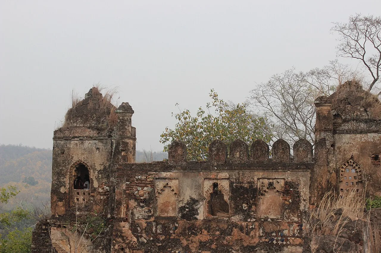
Palamu Fort is a pair of ruined strongholds in Jharkhand, associated with the Chero dynasty. Visitors come to see their remains near Betla National Park and the Auranga River.

Betla National Park

76 km away · Palamu district

Betla National Park

Betla National Park is in Jharkhand’s Palamu and Latehar districts. Visitors come for its varied wildlife and to experience the state’s only national park.

Itkhori

93 km away · Chatra district

Itkhori

Itkhori is a village and gram panchayat in Jharkhand’s Chatra district. Visitors to the area come to see the settlement and its place within the Itkhori CD block.

Lower Ghaghri Falls

113 km away · Latehar district

Lower Ghaghri Falls

Lower Ghaghri Falls is a 320-foot cascade in Latehar district, Jharkhand, about 10 kilometres from Netarhat. Visitors come to see the waterfall and its forest surroundings.

Hazaribagh Wildlife Sanctuary

118 km away · Hazaribagh district

Hazaribagh Wildlife Sanctuary

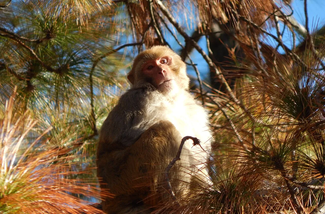
Located in Jharkhand’s Hazaribagh district, this sanctuary was established in 1955, about 55 miles (89 km) north of Ranchi. People visit to see wildlife such as deer, monkeys and birds.

Netarhat

119 km away · Latehar district

Netarhat

Netarhat, in Jharkhand’s Latehar district, is a hill station on the Chotanagpur plateau. Visitors come to experience its hills, forest and waterfalls.

Lodh Falls

122 km away · Latehar district

Lodh Falls

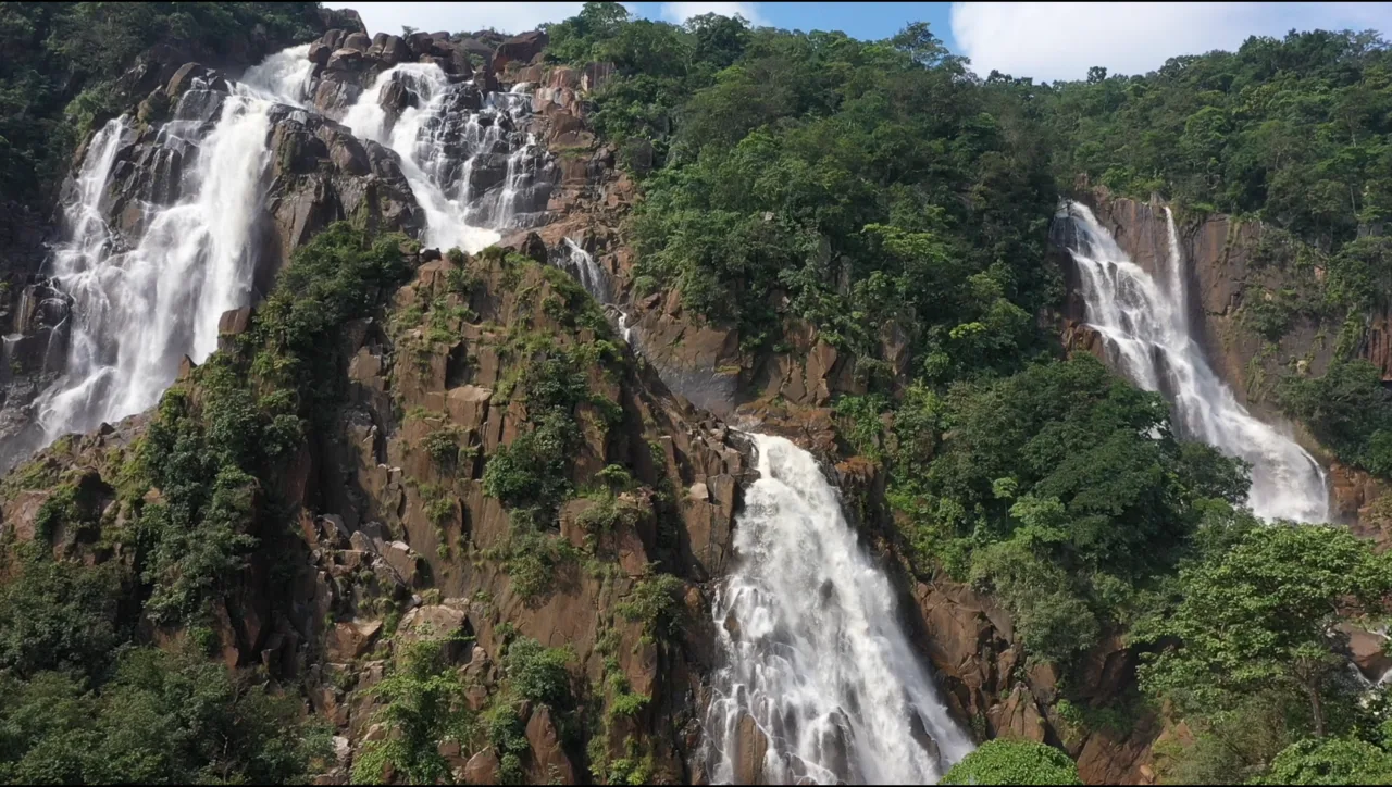
Lodh Falls, also called Budha Ghagh, is a waterfall in Latehar district, Jharkhand. Visitors come to see the Burha River’s falls, which are the tallest in the state.

Tilaiya Dam

128 km away · Koderma district

Tilaiya Dam

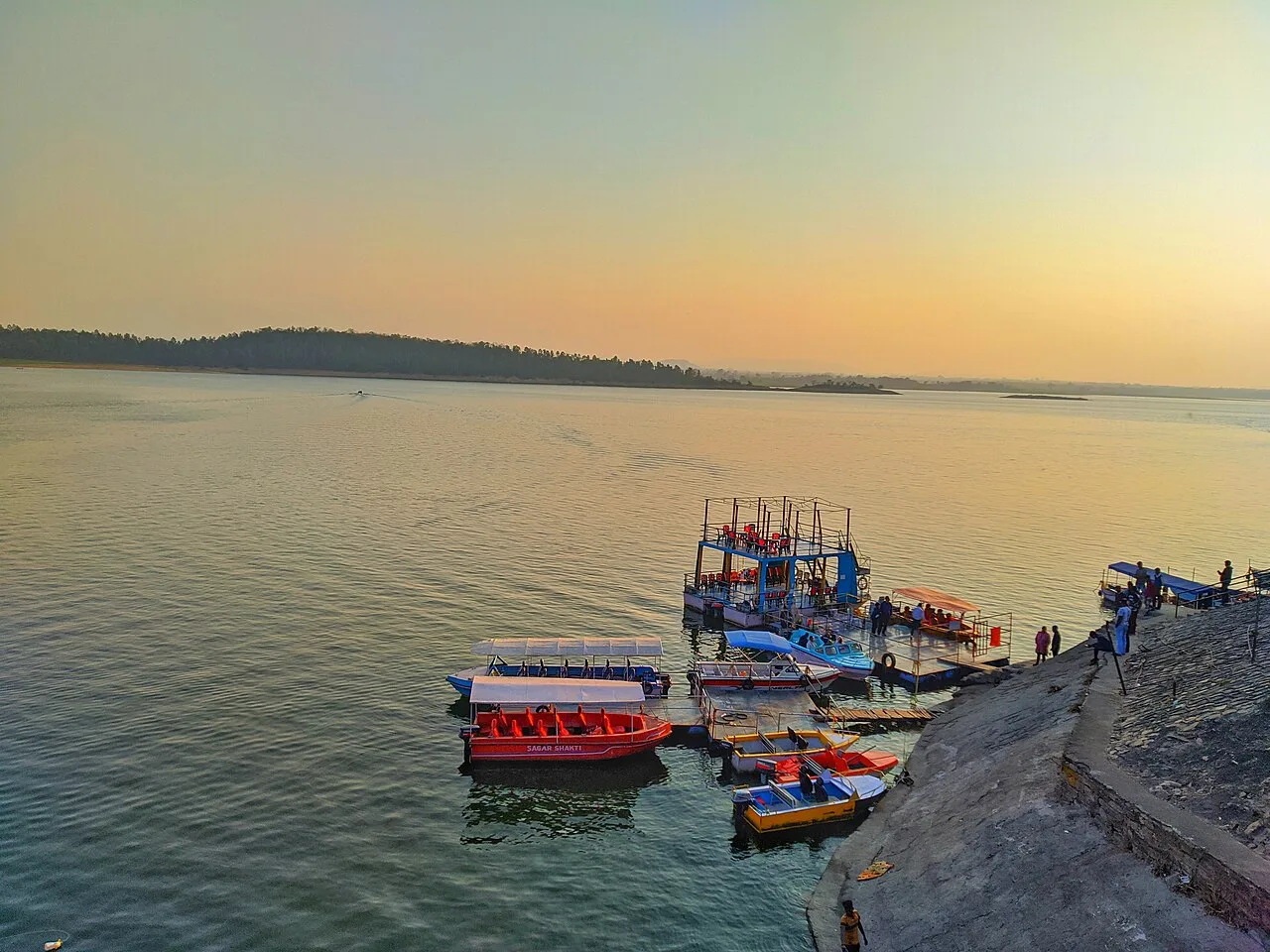
Tilaiya Dam, in Jharkhand’s Koderma district, spans the Barakar River and was the earliest of four multipurpose dams in the Damodar Valley Corporation’s first phase, giving it historical significance.

Map

Satgawan on the map

  1. 1Palamu fort
  2. 2Betla National Park
  3. 3Itkhori
  4. 4Lower Ghaghri Falls
  5. 5Hazaribagh Wildlife Sanctuary
  6. 6Netarhat
  7. 7Lodh Falls
  8. 8Tilaiya Dam

Jharkhand

Other cities to explore