Ghumoopedia — Explore, Discover, Experience
Sign in
Basukinath, near Godda

City guide · Jharkhand

Godda

Godda is the administrative headquarters of Godda district and a service centre for the mostly rural settlements of this part of northeastern Jharkhand. Government offices, schools, healthcare and local markets make it an important everyday destination for residents from surrounding villages.

Famous for

  • Godda district headquarters
  • Rajmahal coalfield
  • Rajmahal hill country
  • Godda thermal power project
  • Santhal cultural heritage

Why Godda matters

Godda is the administrative headquarters of Godda district and a service centre for the mostly rural settlements of this part of northeastern Jharkhand. Government offices, schools, healthcare and local markets make it an important everyday destination for residents from surrounding villages. Its setting at the edge of the Rajmahal hill country gives the town a strong connection to the landscapes and communities of the wider Santhal Pargana region.

Godda is also associated with the nearby Rajmahal coalfield and a large thermal power project in the district, which have brought energy and mining into the area’s modern story. Visitors are more likely to come for local business, district services or journeys into the surrounding countryside than for a major urban sightseeing circuit. The town offers a practical base for experiencing a less-urbanised part of Jharkhand, where local markets and institutions sit within reach of hills, villages and regional places of worship. Its importance lies chiefly in this administrative role and its links to the district’s rural hinterland.
Famous for: crafts, trade & products

Godda is not widely identified with a signature saree, textile tradition or GI-tagged craft. Its commercial life is centred on serving the district: town markets and shops cater to everyday needs, while produce and goods from surrounding rural areas move through local trading networks. Visitors can browse the central market areas for provisions, clothing, household items and seasonal produce, but should not expect a dedicated craft bazaar or a single celebrated local product.

The district’s more prominent economic associations are coal and power. The Rajmahal coalfield lies nearby, and the Godda thermal power project is a major industrial presence in the district; these are regional industries rather than visitor-facing attractions in the town centre. Godda’s other important institutions are its district administration and public services, which draw people from across the surrounding countryside. For locally made items, ask shopkeepers about products from nearby villages, as availability can vary. There is no well-established city-specific handicraft or specialty-food market to seek out, so it is best to treat shopping here as a glimpse of everyday district-town commerce.

History

Godda’s growth has been closely tied to administration and its position within the Santhal Pargana region. The wider area has a history shaped by Adivasi communities, including the Santhal Hul of 1855–56, and by the colonial administration of this frontier region. Godda itself is not chiefly known as a former royal capital; its modern identity developed around its role as a local administrative and market centre.

After independence, the town continued to serve a largely rural hinterland. On 25 May 1983, Godda became a district of Bihar, giving the town a formal district-headquarters role. When Bihar was divided and Jharkhand was created on 15 November 2000, Godda became part of the new state. District offices and public services strengthened its regional importance over time. In recent decades, the nearby Rajmahal coalfield and the district’s thermal power development have added an industrial dimension to an economy still closely connected to surrounding villages.

Food, festivals & culture

Godda’s everyday culture reflects the wider Santhal Pargana region, where Adivasi traditions coexist with Hindu, Muslim and other community practices. Hindi is widely used in public life; Santhali and other regional languages are also spoken, alongside Bengali in parts of the surrounding region. Rice, lentils, seasonal vegetables and locally available greens are common components of home cooking. There is no single dish or sweet for which the town is especially known, though local eateries serve familiar Jharkhand and eastern Indian meals.

Festivals bring both religious and community traditions into view. Sarhul, usually celebrated in spring, and Karma, commonly observed during the monsoon season, are important in Adivasi cultural life. Sohrai is associated with the post-harvest period, while Chhath, Durga Puja and Eid are also observed by local communities. Santhal music and dance are performed at community gatherings and seasonal celebrations. Temples, mosques and neighbourhood shrines serve as places of worship; visitors should be considerate during services and festivals, when local areas may be especially busy.

Visiting the city

The cooler months, roughly October to March, are generally the most comfortable time to visit; summer can be hot and the monsoon brings rain. Deoghar Airport is the nearest major airport commonly used for travel to Godda. Godda railway station serves the town, and road connections link it with district settlements and other regional centres. Check current transport connections before setting out, as services can change.

Within town, autos and local vehicles are practical for short trips; agree on arrangements before travelling, as routes and availability vary. The central market area is useful for food, shopping and observing daily town life. The district-office neighbourhood gives a sense of Godda’s administrative role, while the town’s edges lead toward a more rural landscape. Allow extra time for journeys beyond the centre, where settlements and points of interest may be spread out.

Trips from the city

Nearest places to visit from Godda

Our closest destination guides, by straight-line distance.

Basukinath

50 km away · Dumka district

Basukinath

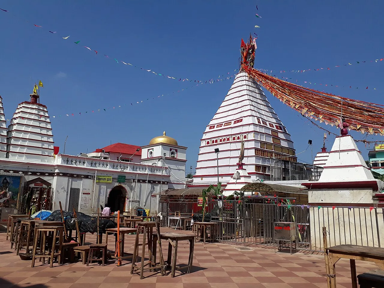
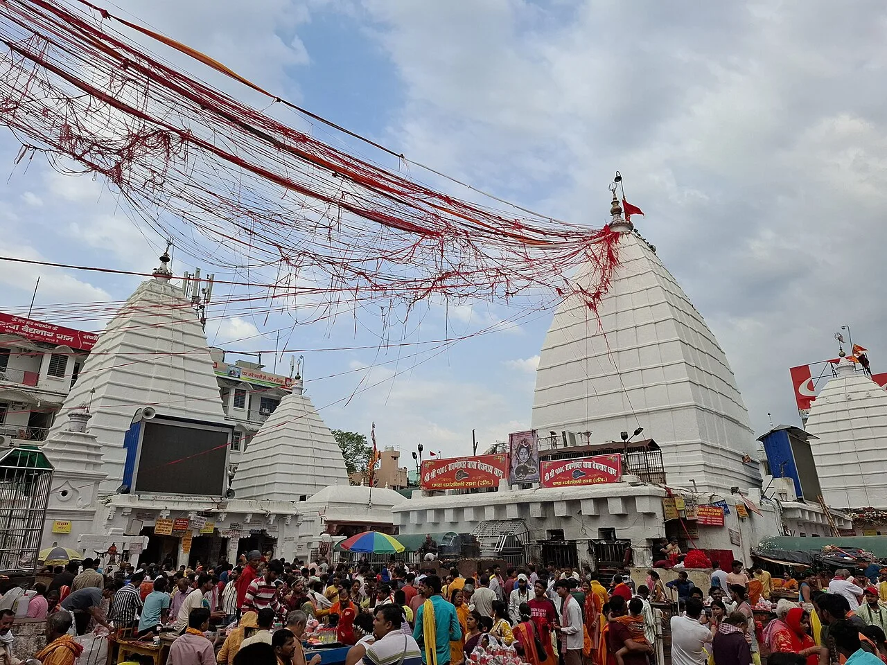
Basukinath is a temple-centred town with notified-area status in Jharkhand’s Dumka district. Visitors come for its association with temples.

Trikut Hill

53 km away · Deoghar district

Trikut Hill

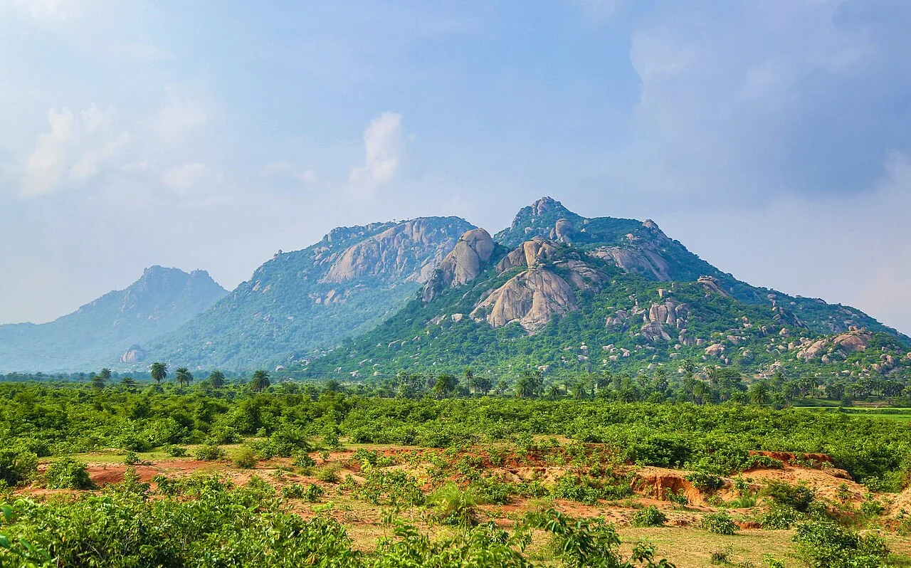
Trikut Hill is a three-peaked pilgrimage destination near Deoghar, Jharkhand. Devotees visit for its religious associations, while others climb the slopes to experience its seasonal scenery and views.

Baidyanath Temple

64 km away · Deoghar district

Baidyanath Temple

Baidyanath Temple is a Hindu shrine to Shiva in Deoghar, Jharkhand, visited by worshippers for Baba Baidyanath and its place among the twelve Jyotirlingas.

Moti Jharna

67 km away · Sahibganj district

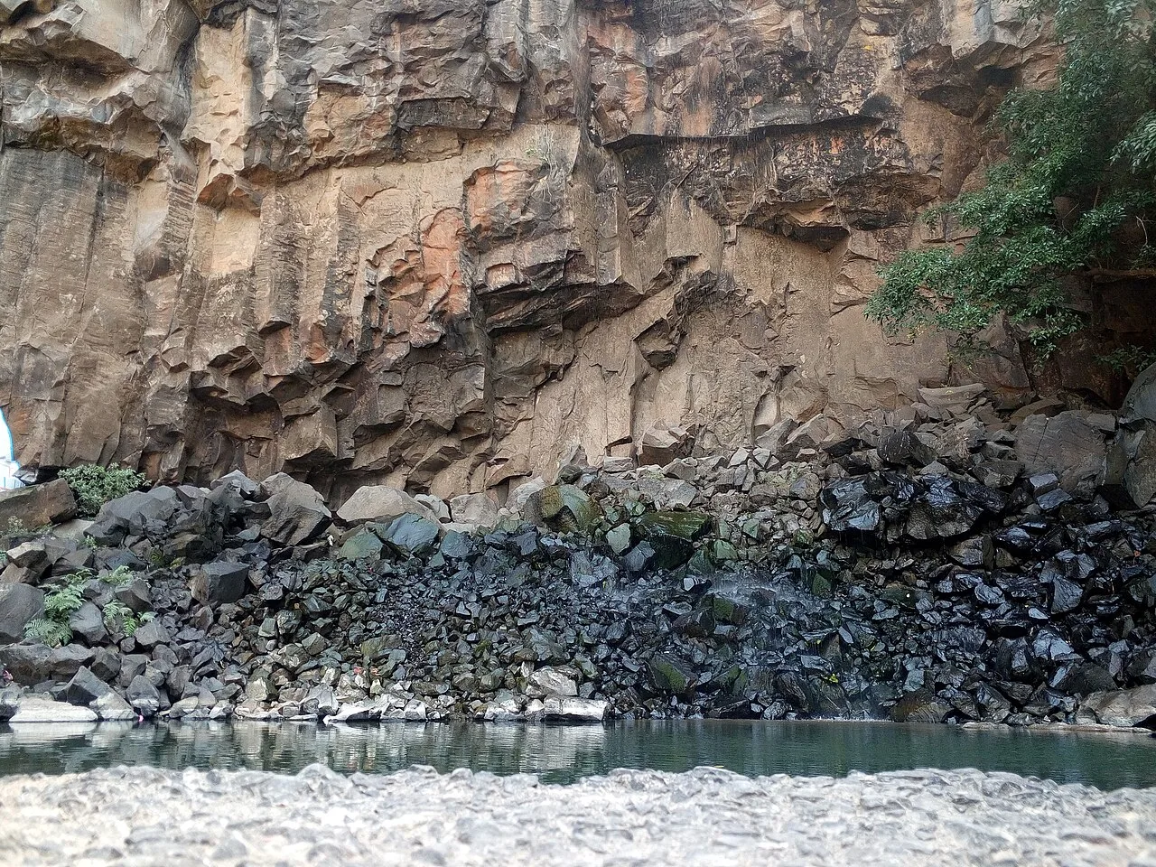
Moti Jharna

Moti Jharna is a village in Jharkhand’s Sahibganj district, within Taljhari block and Rajmahal subdivision. These administrative details help visitors locate the settlement.

Rajmahal

68 km away · Sahibganj district

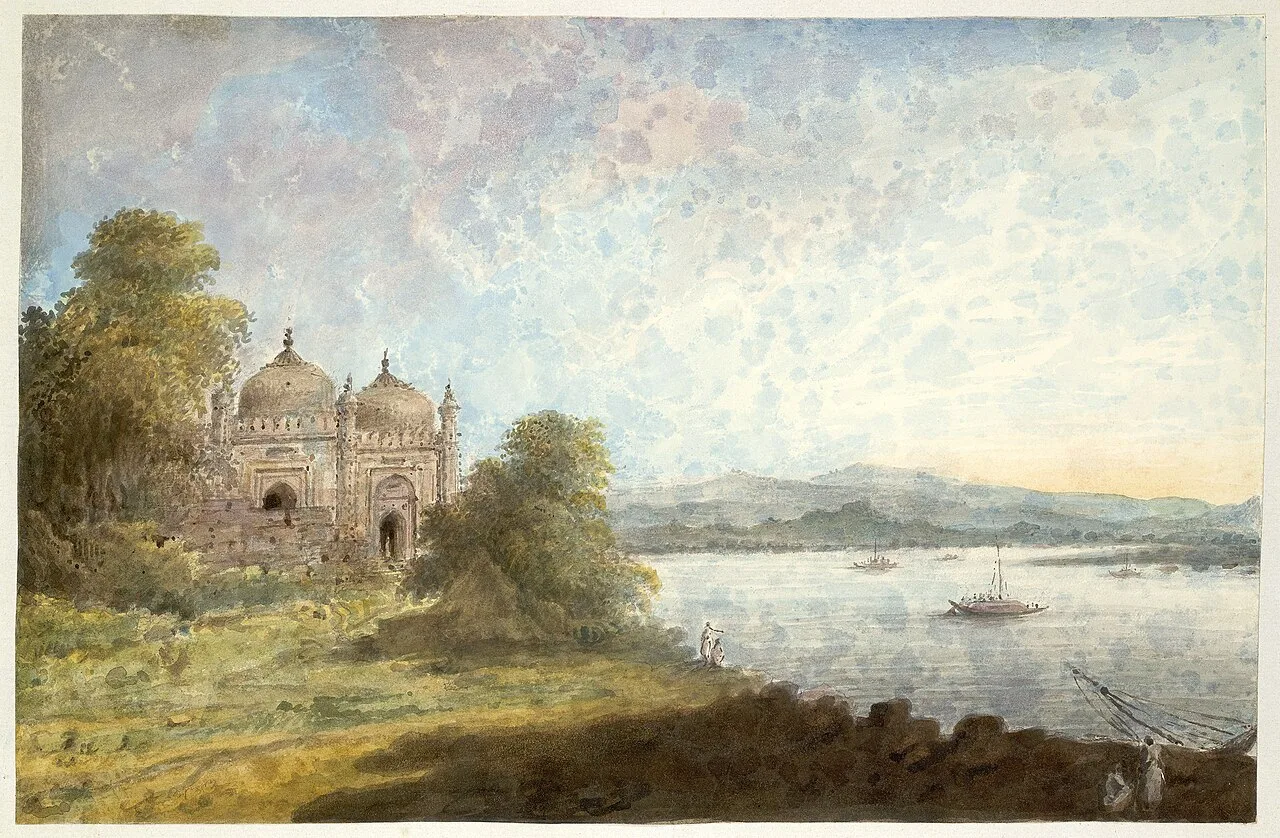
Rajmahal

Rajmahal is a riverside town in Sahebganj district, Jharkhand, drawing interest for its former role as Bengal Subah’s capital during Man Singh I’s governorship.

Maluti

88 km away · Dumka district

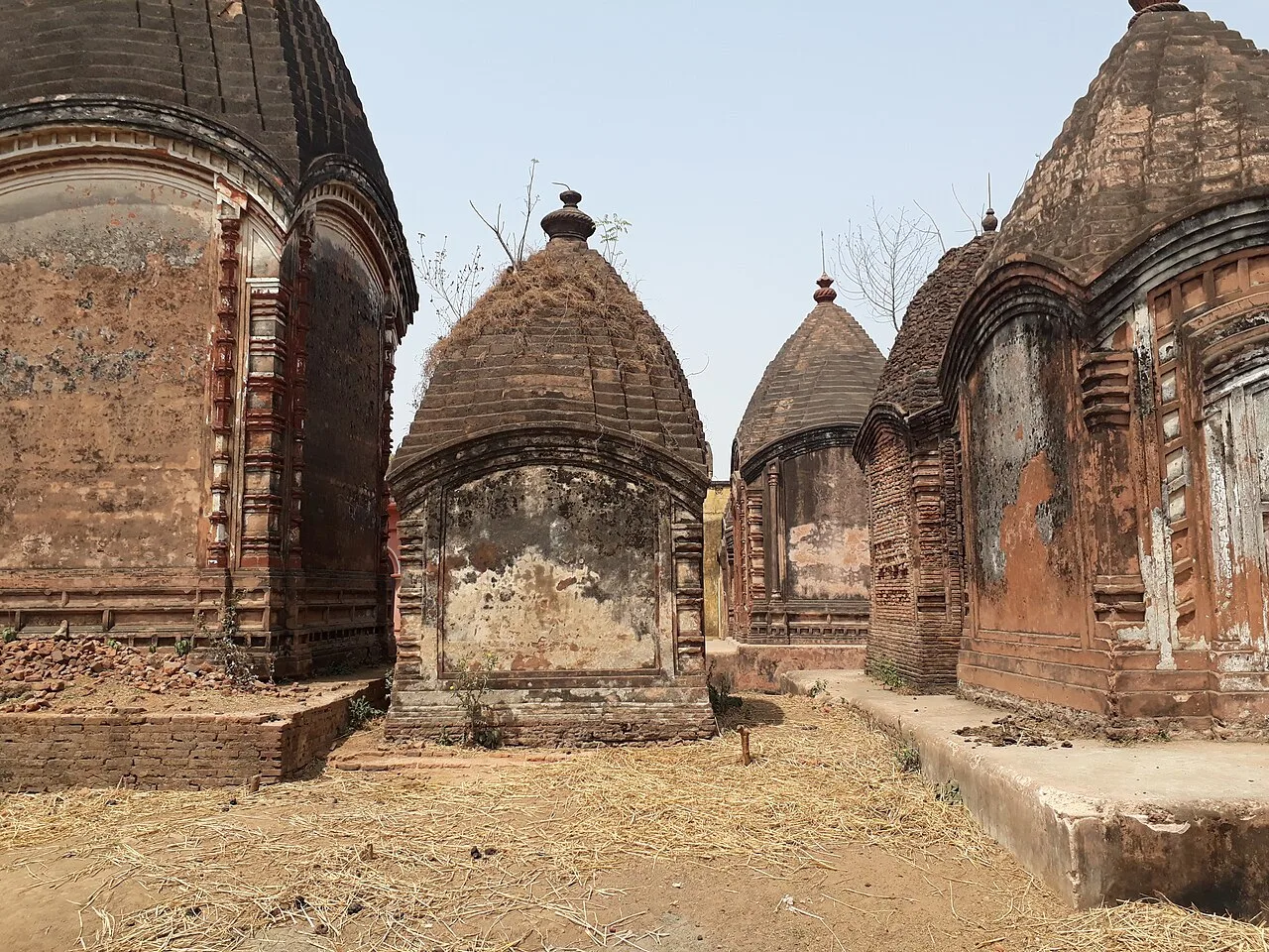
Maluti

Maluti, a village in Jharkhand’s Dumka district, is noted for its historic temples, whose imagery depicts episodes from Hindu epics.

Khandoli Dam

109 km away · Giridih district

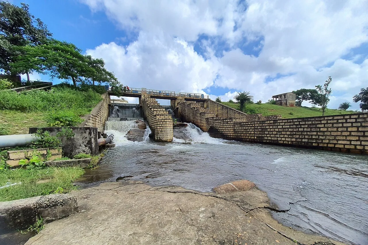
Khandoli Dam

Khandoli Dam is a reservoir in Giridih district, Jharkhand, where visitors come to see the site at the base of Khandoli Hill.

Maithon Dam

117 km away · Dhanbad district

Maithon Dam

Maithon Dam, built across the Barakar River in Jharkhand, draws visitors for its underground power station, natural surroundings and religious significance, as well as its role in flood control.

Map

Godda on the map

  1. 1Basukinath
  2. 2Trikut Hill
  3. 3Baidyanath Temple
  4. 4Moti Jharna
  5. 5Rajmahal
  6. 6Maluti
  7. 7Khandoli Dam
  8. 8Maithon Dam

Jharkhand

Other cities to explore