Ghumoopedia — Explore, Discover, Experience
Sign in
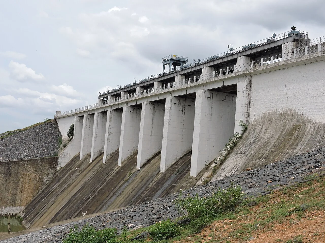
Tilaiya Dam, near Jhumri Telaiya

City guide · Jharkhand

Jhumri Telaiya

Jhumri Telaiya is an important commercial and transport centre in Koderma district, serving nearby villages and linking the region with larger towns in Jharkhand and Bihar. Its growth was shaped by mica mining, and the town remains associated with mineral businesses and small-scale industry.

Famous for

  • Mica mining heritage
  • Radio song requests
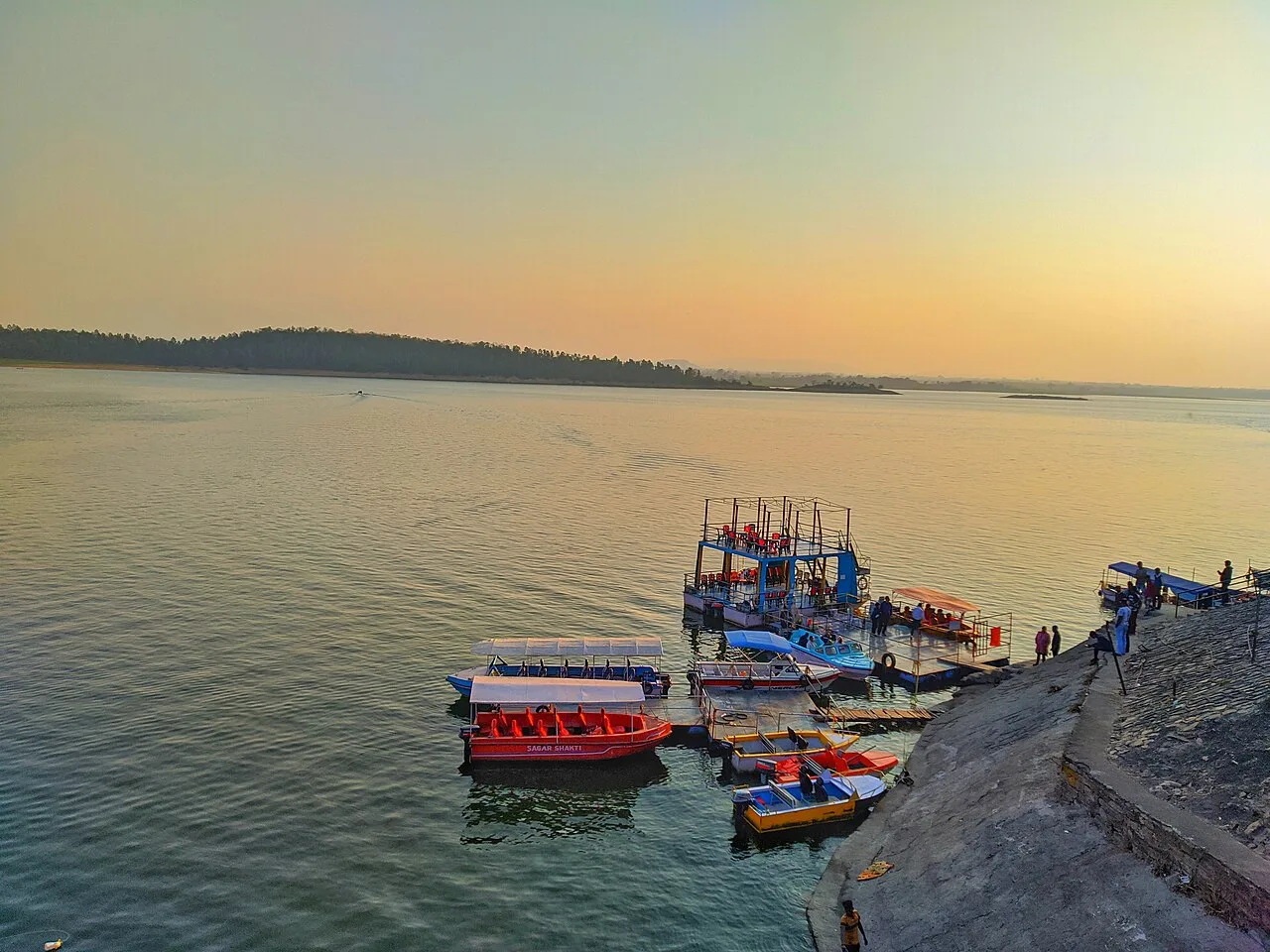
  • Tilaiya Dam reservoir
  • Koderma Junction
  • Chanchala Devi temple

Why Jhumri Telaiya matters

Jhumri Telaiya is an important commercial and transport centre in Koderma district, serving nearby villages and linking the region with larger towns in Jharkhand and Bihar. Its growth was shaped by mica mining, and the town remains associated with mineral businesses and small-scale industry. Koderma Junction, on the Howrah–Delhi rail corridor, gives it a role well beyond its local market area.

The town is best known across India for its unlikely radio fame: listeners in the 1950s and later sent large numbers of film-song requests to Radio Ceylon and Vividh Bharati, making its distinctive name familiar to audiences. Today, visitors come for the story, the nearby Tilaiya Dam reservoir and local religious sites such as Chanchala Devi temple. Dhwajadhari Hill and other regional attractions can also be reached from town. Jhumri Telaiya is not a conventional resort destination, but it offers a useful base for exploring the Koderma area and a glimpse of a town shaped by railways, mining and popular radio culture.
Famous for: crafts, trade & products

Jhumri Telaiya’s best-known trade legacy is mica. The mineral once supported a large mining and export business, and mica processing remains part of the wider Koderma industrial economy. Local industry also includes mica-powder production, hand-pump manufacturing and sponge-iron plants. These are working industries rather than visitor attractions, so purchases are generally a matter for specialist suppliers and businesses, not a craft bazaar.

The town’s markets serve residents and travellers with everyday goods, food and household supplies. There is no widely established local identity around a signature textile, saree, handicraft or GI-tagged product; visitors looking for regional specialties should ask in the market about locally made goods and seasonal produce rather than expect a dedicated souvenir district. Its most distinctive cultural export has been its name and radio story: in the heyday of film-song request programmes, residents’ letters helped make Jhumri Telaiya famous nationwide. For an overview of the area’s industrial past, the old mica connection and the railway remain central to understanding how local trade developed.

History

The town grew from the village of Jhumri, with “Telaiya” referring to a small lake or reservoir. Railway construction through the Koderma region in the 1890s brought attention to extensive mica deposits. Mining and mica trading expanded, creating local business houses and tying the area to export markets. Mica from the region was sent abroad, including to the Soviet Union, where it had industrial and technical uses. Mining activity later declined as markets changed and synthetic alternatives became available.

From the 1950s, Jhumri Telaiya acquired a second kind of prominence through radio. Residents became prolific senders of film-song requests to Radio Ceylon and, later, Vividh Bharati; the town’s name became a familiar reference in popular culture. Administratively, the area was part of Hazaribagh district before Koderma district was formed in 1994. It became part of Jharkhand when the state was created in 2000. The municipality was declared a minor urban area in 2008, reflecting its continuing role as a regional service and industrial centre.

Food, festivals & culture

Everyday food reflects the wider Jharkhand–Bihar region: rice, lentils, vegetables, seasonal greens and simple wheat-based meals are common. Litti-chokha and other regional snacks may be found, alongside tea-shop fare and familiar Indian sweets, but the town is not especially known for one signature dish. Local markets and eateries are the practical places to sample everyday meals.

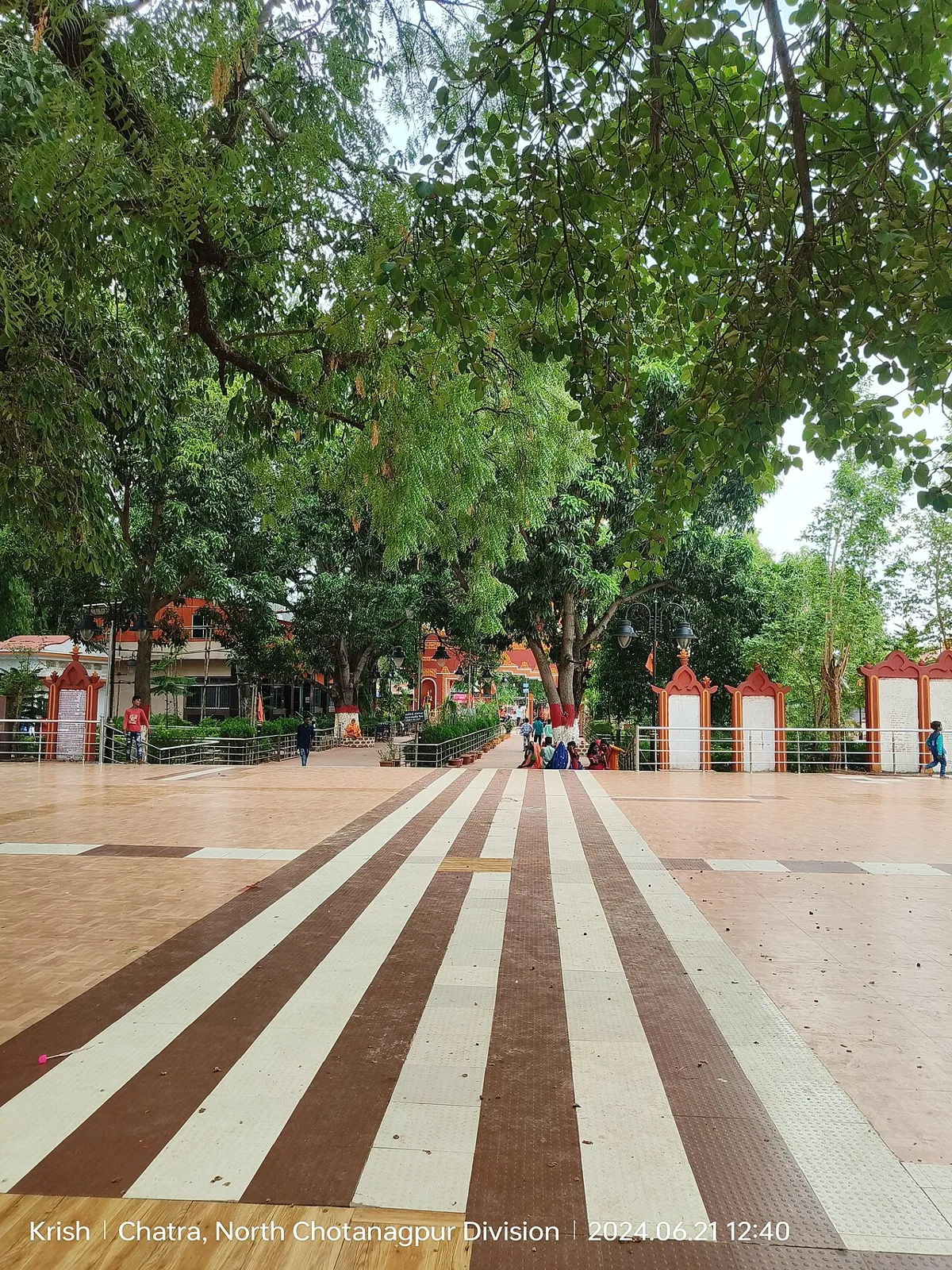
Hindi is widely used; Khortha and Urdu are also heard among residents, alongside other regional languages. Jhumri Telaiya’s most distinctive cultural association is its film-song request tradition, when letters to radio programmes made the town’s name famous. Jhumar is a folk-dance tradition associated with the broader region. Major celebrations include Chhath, usually observed in autumn, Durga Puja in autumn, Holi in spring, and Eid, whose timing follows the Islamic calendar. Chanchala Devi temple is an important local place of worship, while other neighbourhood temples and mosques serve residents throughout the year. Seasonal fairs and religious gatherings bring added activity to the town and nearby hill shrines.

Visiting the city

October to February is generally the most comfortable period to visit, with cooler weather for exploring town and nearby sites. Gaya Airport is the nearest listed airport, roughly 106 km away; Ranchi and Patna airports are farther alternatives. The main rail gateway is Koderma Junction, on the Grand Chord route.

Buses, jeeps and three-wheelers connect the town with nearby settlements; local auto-rickshaws are useful for getting around. Explore the old Jhumri neighbourhood and central market for a sense of everyday town life, then visit the railway area associated with its radio-era story. Tilaiya Dam reservoir lies nearby, while Chanchala Devi temple and Dhwajadhari Hill make worthwhile regional outings. Check local conditions before setting out for attractions beyond town, as transport options may be limited.

Trips from the city

Nearest places to visit from Jhumri Telaiya

Our closest destination guides, by straight-line distance.

Tilaiya Dam

12 km away · Koderma district

Tilaiya Dam

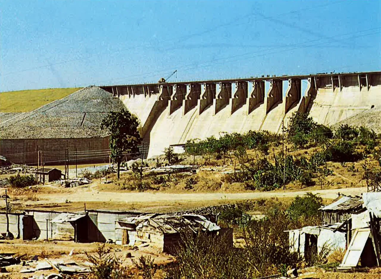
Tilaiya Dam, in Jharkhand’s Koderma district, spans the Barakar River and was the earliest of four multipurpose dams in the Damodar Valley Corporation’s first phase, giving it historical significance.

Hazaribagh Wildlife Sanctuary

36 km away · Hazaribagh district

Hazaribagh Wildlife Sanctuary

Located in Jharkhand’s Hazaribagh district, this sanctuary was established in 1955, about 55 miles (89 km) north of Ranchi. People visit to see wildlife such as deer, monkeys and birds.

Itkhori

40 km away · Chatra district

Itkhori

Itkhori is a village and gram panchayat in Jharkhand’s Chatra district. Visitors to the area come to see the settlement and its place within the Itkhori CD block.

Konar Dam

60 km away · Hazaribagh district

Konar Dam

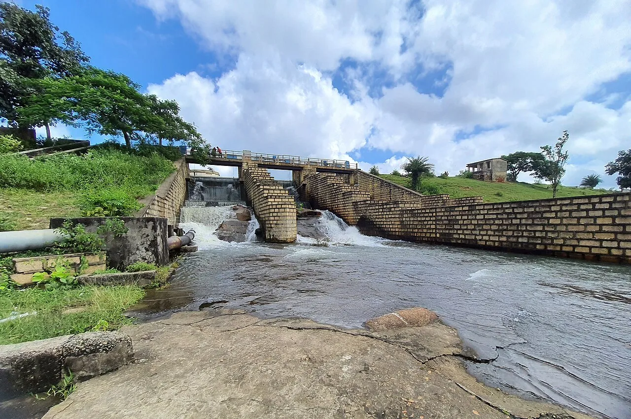
Konar Dam is a multipurpose dam in Jharkhand’s Hazaribagh district, built on the Konar River as part of the Damodar Valley Corporation’s first-phase programme. Visitors come to the area for recreation.

Parasnath

80 km away · Giridih district

Parasnath

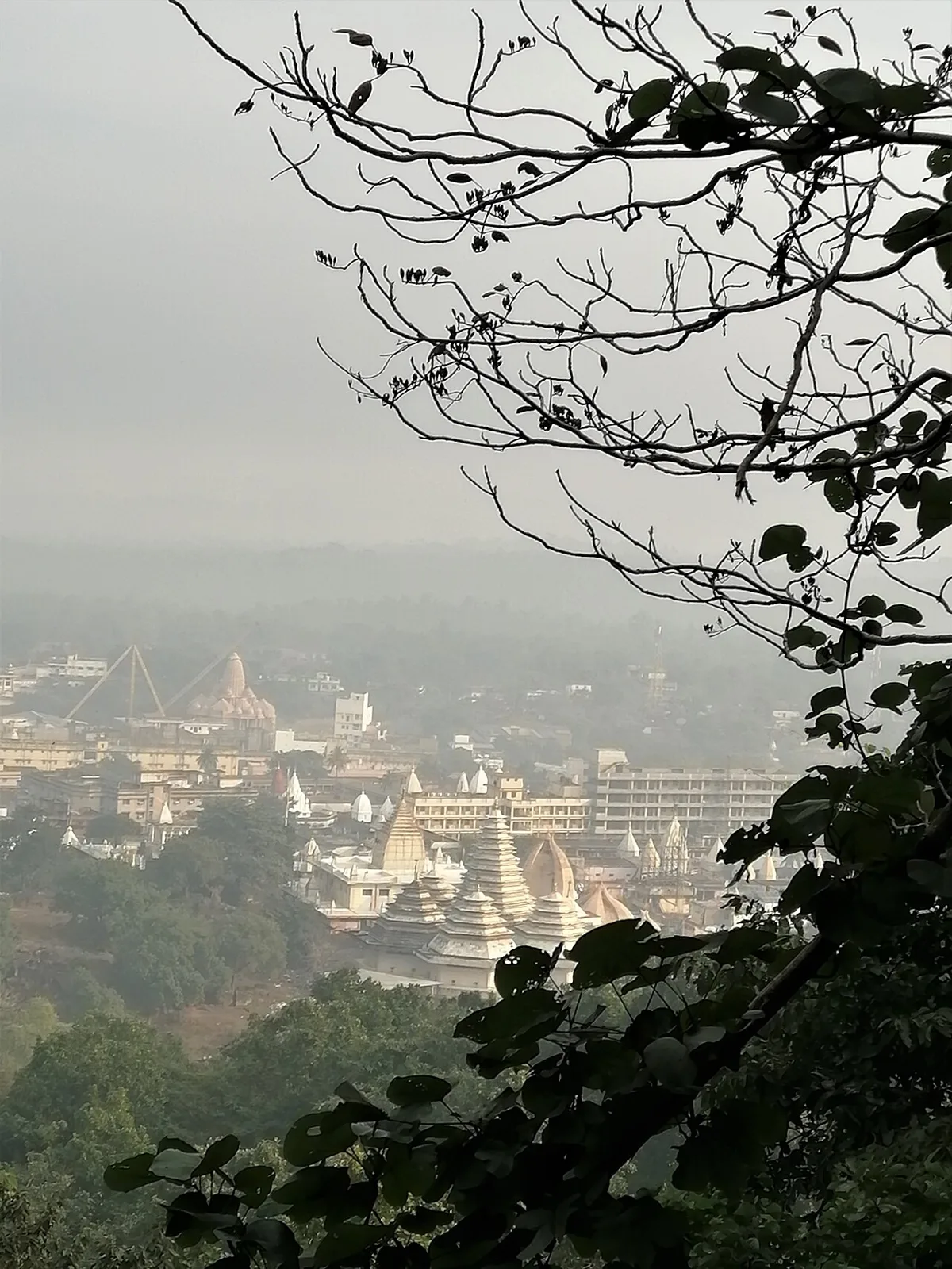
Parasnath is a summit in Jharkhand’s Giridih district and part of the range that bears its name. People visit Shikharji, the Jain pilgrimage site on the summit, linked to Parshvanatha.

Shikharji

81 km away · Giridih district

Shikharji

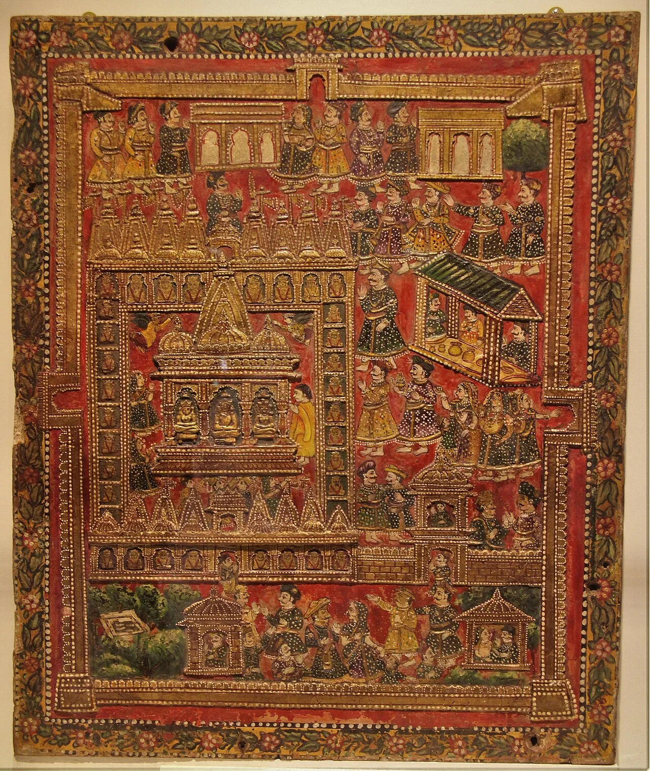
In Jharkhand’s Giridih district, Shikharji—also called Sammet or Sammed Shikharji—is a major Jain sacred destination, visited because tradition holds that many spiritual teachers attained liberation there.

Khandoli Dam

86 km away · Giridih district

Khandoli Dam

Khandoli Dam is a reservoir in Giridih district, Jharkhand, where visitors come to see the site at the base of Khandoli Hill.

Patratu

89 km away · Ranchi district

Patratu

Patratu is a census town in Jharkhand, linked administratively to Patratu block and Ramgarh subdivision. The details provided do not identify a specific visitor attraction.

Map

Jhumri Telaiya on the map

  1. 1Tilaiya Dam
  2. 2Hazaribagh Wildlife Sanctuary
  3. 3Itkhori
  4. 4Konar Dam
  5. 5Parasnath
  6. 6Shikharji
  7. 7Khandoli Dam
  8. 8Patratu

Jharkhand

Other cities to explore