Ghumoopedia — Explore, Discover, Experience
Sign in
Maithon Dam, near Nirsa

City guide · Jharkhand

Nirsa

Nirsa is a small town in Dhanbad district, best understood as an administrative and commercial centre for the surrounding eastern coalfield region. It is the headquarters of Nirsa community development block, and its roads and local services connect nearby settlements in a landscape shaped by mining, river valleys and undulating uplands.

Famous for

  • Coal-mining landscape
  • Maithon Dam and reservoir
  • Panchet Dam
  • Damodar–Barakar river frontier
  • Nirsa block headquarters

Why Nirsa matters

Nirsa is a small town in Dhanbad district, best understood as an administrative and commercial centre for the surrounding eastern coalfield region. It is the headquarters of Nirsa community development block, and its roads and local services connect nearby settlements in a landscape shaped by mining, river valleys and undulating uplands.

The town is not a major sightseeing destination in its own right. Its wider surroundings offer the strongest visitor interest: the Damodar and Barakar rivers run along the region’s southern and eastern edges, while the Maithon and Panchet dams and their reservoirs are prominent nearby landmarks. These places draw visitors for their waterside scenery and provide a sense of the area’s relationship with river engineering and industry. Coal mining is another defining part of the local economy, with mining operations in the broader region. Nirsa is therefore most useful to travellers as a base for exploring nearby river and dam country or as a practical stop for local business, rather than as a city with a large collection of established tourist attractions.
Famous for: crafts, trade & products

Nirsa is associated more with the coal economy of Dhanbad district than with a distinctive textile, handicraft or GI-tagged product. Mining operations shape the wider area: Eastern Coalfields’ Mugma Area lies within the region, while part of Bharat Coking Coal’s Chanch/Victoria Area is also in the surrounding landscape. These are regional industrial identities, not visitor attractions or retail outlets.

For everyday purchases, the town’s local shops and market serve residents and nearby villages with groceries, household goods and routine services. There is no widely established specialist bazaar in Nirsa for a particular craft or regional product, so visitors seeking such items should not expect a dedicated shopping district. Nirsa’s principal institutional role is as the headquarters of its community development block. Travellers interested in the area’s economy will find that its identity is rooted in administration, mining and local trade rather than in a recognised craft tradition.

History

Its present identity is more closely tied to its position in Dhanbad district, its role as the headquarters of Nirsa community development block and the growth of settlements across a coal-producing region.

The wider landscape has long been shaped by the Damodar and Barakar river valleys. In the modern period, coal mining became a major influence on work, settlement and regional connections. Mining areas operated by Eastern Coalfields and Bharat Coking Coal form part of the broader setting, though their boundaries do not define the whole town. The construction of Maithon and Panchet dams also transformed the surrounding river country, creating large reservoirs and making water management a prominent feature of the region. Today, Nirsa combines local administration and market activity with the effects of nearby industry. Its development is best understood through these regional changes rather than through a single documented founding event or a well-known sequence of rulers.

Food, festivals & culture

Everyday food in Nirsa reflects the broader eastern Jharkhand and adjoining Bengal region. Rice, dal, seasonal vegetables, leafy greens and simple fish or meat dishes are familiar parts of local meals. Pitha and other home-prepared sweets or snacks may appear during festivals, though the town is not especially known for a signature dish. Hindi and Bengali are useful languages for visitors; Khortha and Santali are also part of the wider area’s linguistic mix.

The festival calendar includes Sarhul in spring, Karma during the monsoon or early autumn, and Chhath and Durga Puja in autumn. Diwali is also observed. Celebrations vary among communities and neighbourhoods, with worship, family gatherings, music and seasonal foods. Jhumair and Karma dance traditions, often accompanied by rhythmic drumming, are part of the region’s cultural heritage. Local temples and community places of worship serve residents, but Nirsa is not widely identified with a single major pilgrimage site. Festival activity is generally most visible in neighbourhood settings rather than at a dedicated cultural venue.

Visiting the city

October to March is generally the most comfortable season for visiting, with cooler weather than the hot pre-monsoon months. The nearest airport is Kazi Nazrul Islam Airport at Andal; check current flight connections before planning. Dhanbad Junction is the main railway station for reaching the district, while Mugma station is a local rail option for parts of the area.

Within Nirsa, local buses, shared autos and hired vehicles are practical ways to get around. The town centre is useful for shops and everyday services. For a regional outing, explore the Mugma area and plan a separate visit to the Maithon or Panchet dam and reservoir surroundings. These are spread-out destinations, so arranging road transport in advance can make a day trip easier. Roads and weather conditions may affect travel, particularly during the monsoon.

Trips from the city

Nearest places to visit from Nirsa

Our closest destination guides, by straight-line distance.

Maithon Dam

10 km away · Dhanbad district

Maithon Dam

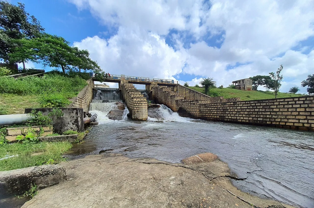
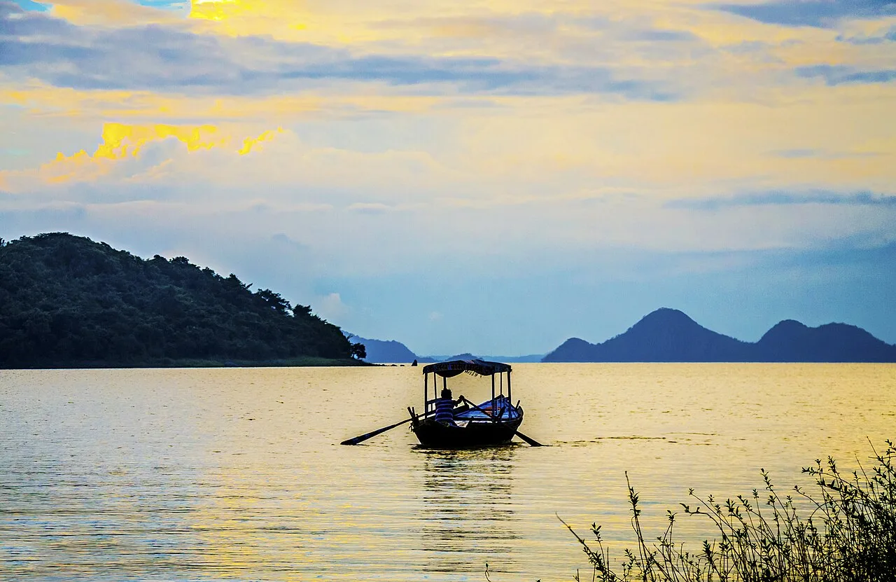
Maithon Dam, built across the Barakar River in Jharkhand, draws visitors for its underground power station, natural surroundings and religious significance, as well as its role in flood control.

Panchet Dam

12 km away · Dhanbad district

Panchet Dam

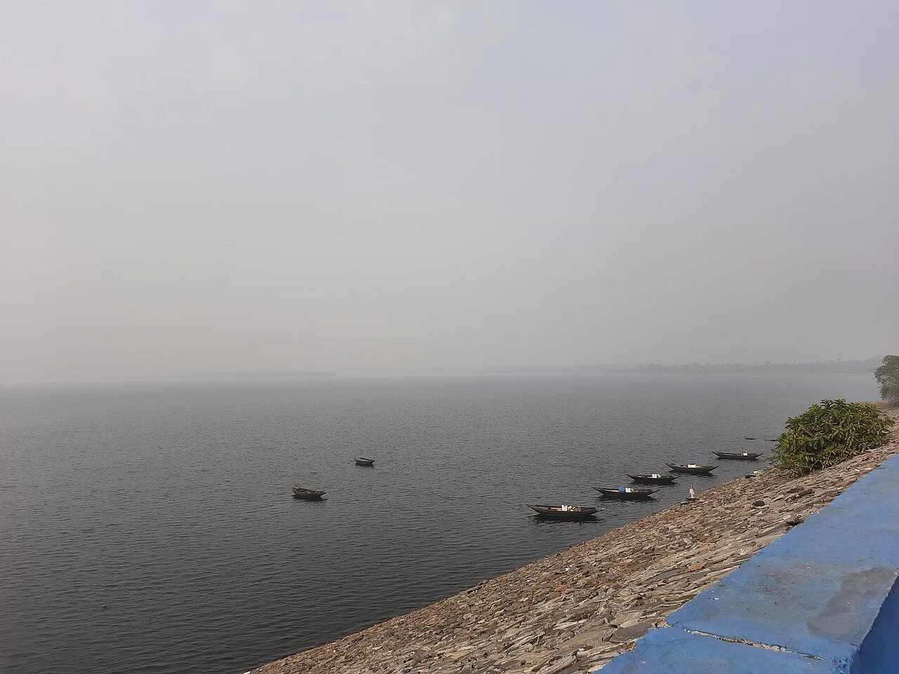
Panchet Dam is a multipurpose structure on the Damodar River in Jharkhand. Visitors come to see the dam and its place in the opening stage of the DVC’s development programme.

Usri Falls

49 km away · Giridih district

Usri Falls

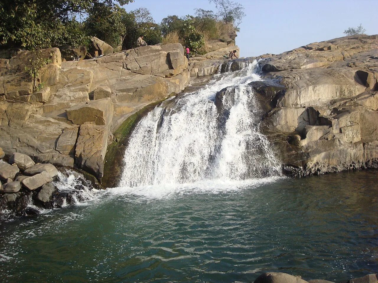
Usri Falls is a waterfall in Giridih district, Jharkhand, visited by tourists and picnickers. The name Ushree means beautiful source.

Bokaro Steel City

58 km away · Bokaro district

Bokaro Steel City

Bokaro Steel City is a planned industrial centre in Jharkhand. Visitors come for its zoo, dam, parks and shopping mall, while the city is also known for its steel industry.

Shikharji

61 km away · Giridih district

Shikharji

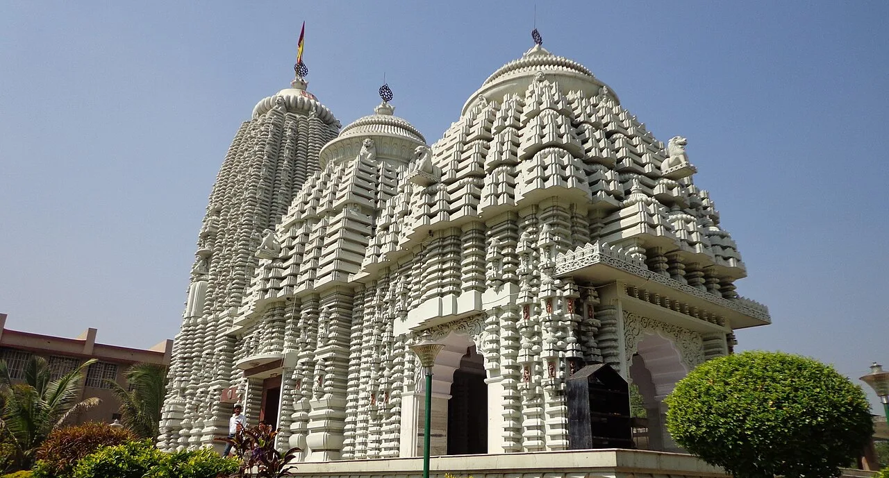
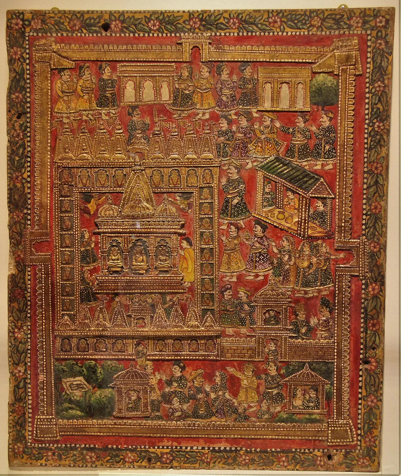
In Jharkhand’s Giridih district, Shikharji—also called Sammet or Sammed Shikharji—is a major Jain sacred destination, visited because tradition holds that many spiritual teachers attained liberation there.

Khandoli Dam

62 km away · Giridih district

Khandoli Dam

Khandoli Dam is a reservoir in Giridih district, Jharkhand, where visitors come to see the site at the base of Khandoli Hill.

Parasnath

62 km away · Giridih district

Parasnath

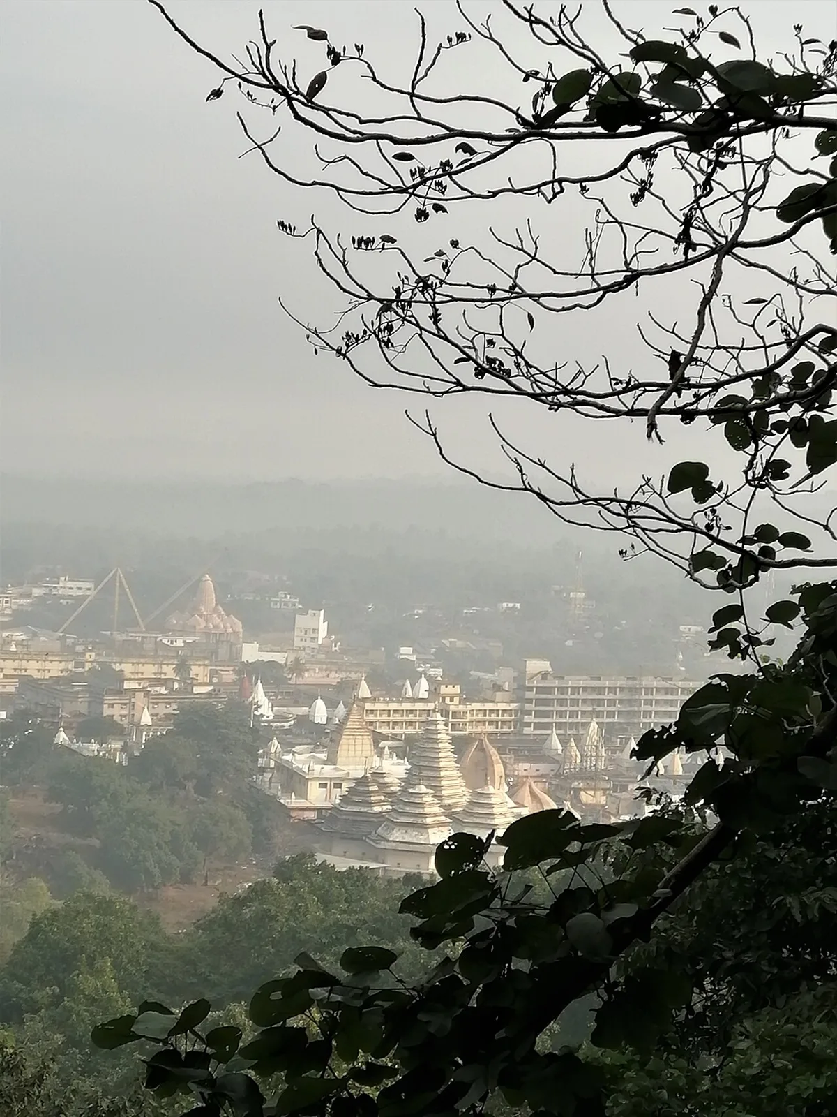
Parasnath is a summit in Jharkhand’s Giridih district and part of the range that bears its name. People visit Shikharji, the Jain pilgrimage site on the summit, linked to Parshvanatha.

Basukinath

77 km away · Dumka district

Basukinath

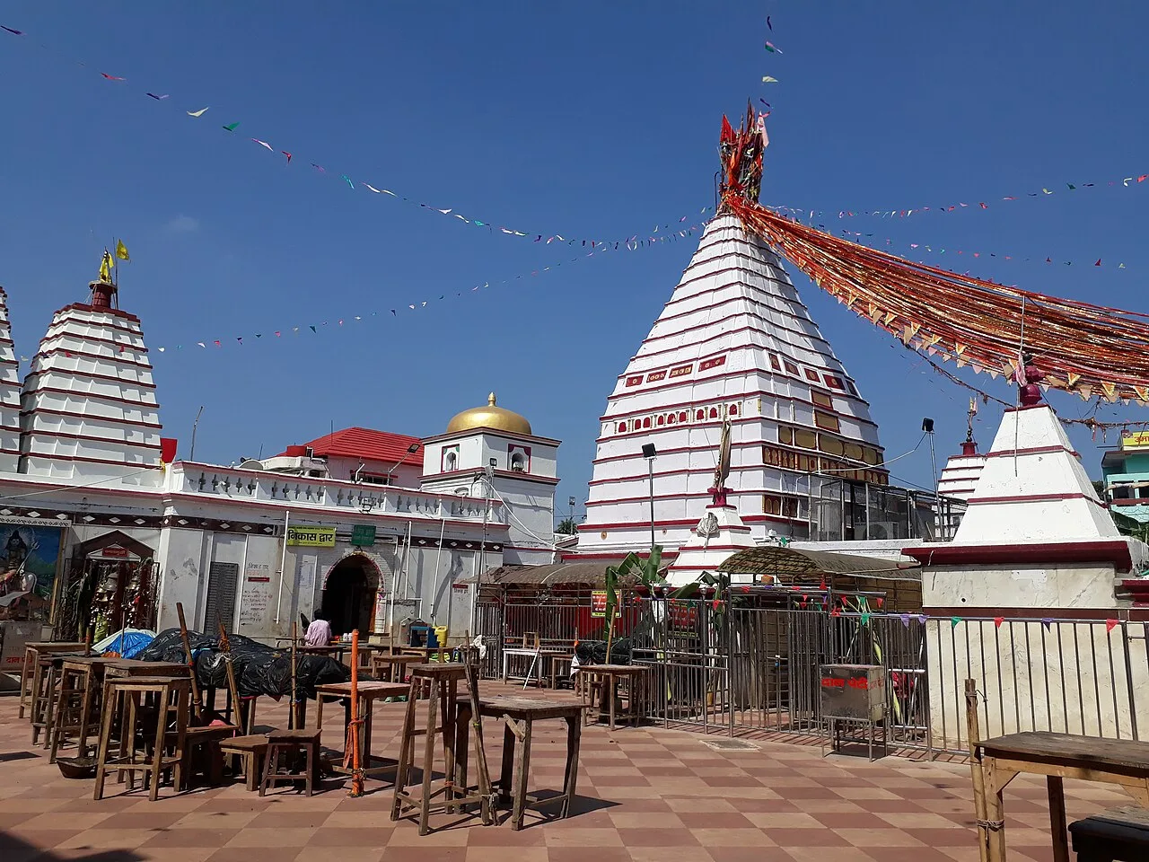
Basukinath is a temple-centred town with notified-area status in Jharkhand’s Dumka district. Visitors come for its association with temples.

Map

Nirsa on the map

  1. 1Maithon Dam
  2. 2Panchet Dam
  3. 3Usri Falls
  4. 4Bokaro Steel City
  5. 5Shikharji
  6. 6Khandoli Dam
  7. 7Parasnath
  8. 8Basukinath

Jharkhand

Other cities to explore