Ghumoopedia — Explore, Discover, Experience
Sign in
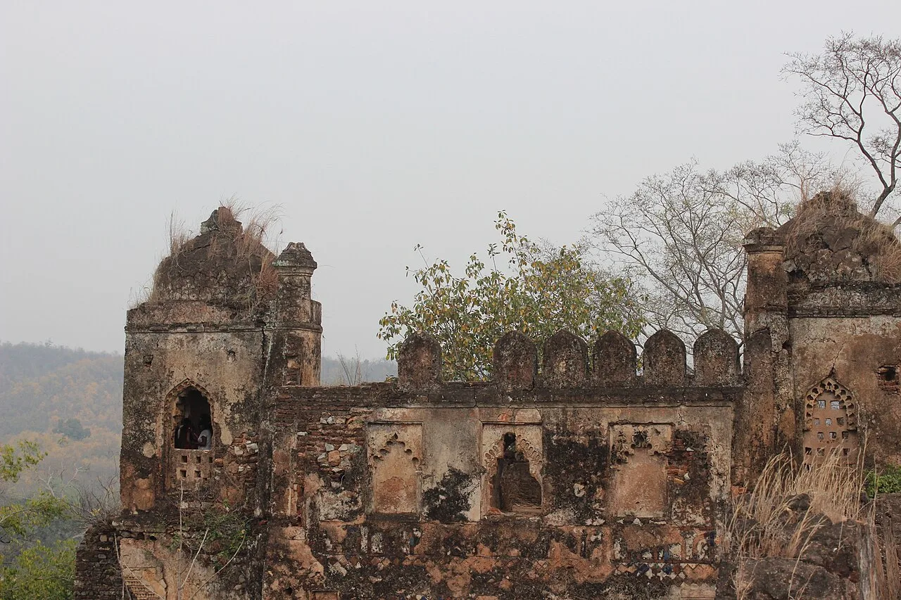
Palamu fort, near Latehar

City guide · Jharkhand

Latehar

Latehar is the administrative centre of Latehar district in north-western Jharkhand. Its importance comes less from big-city attractions than from its position amid a landscape of forests, uplands and mineral resources.

Famous for

  • Betla National Park
  • Netarhat plateau
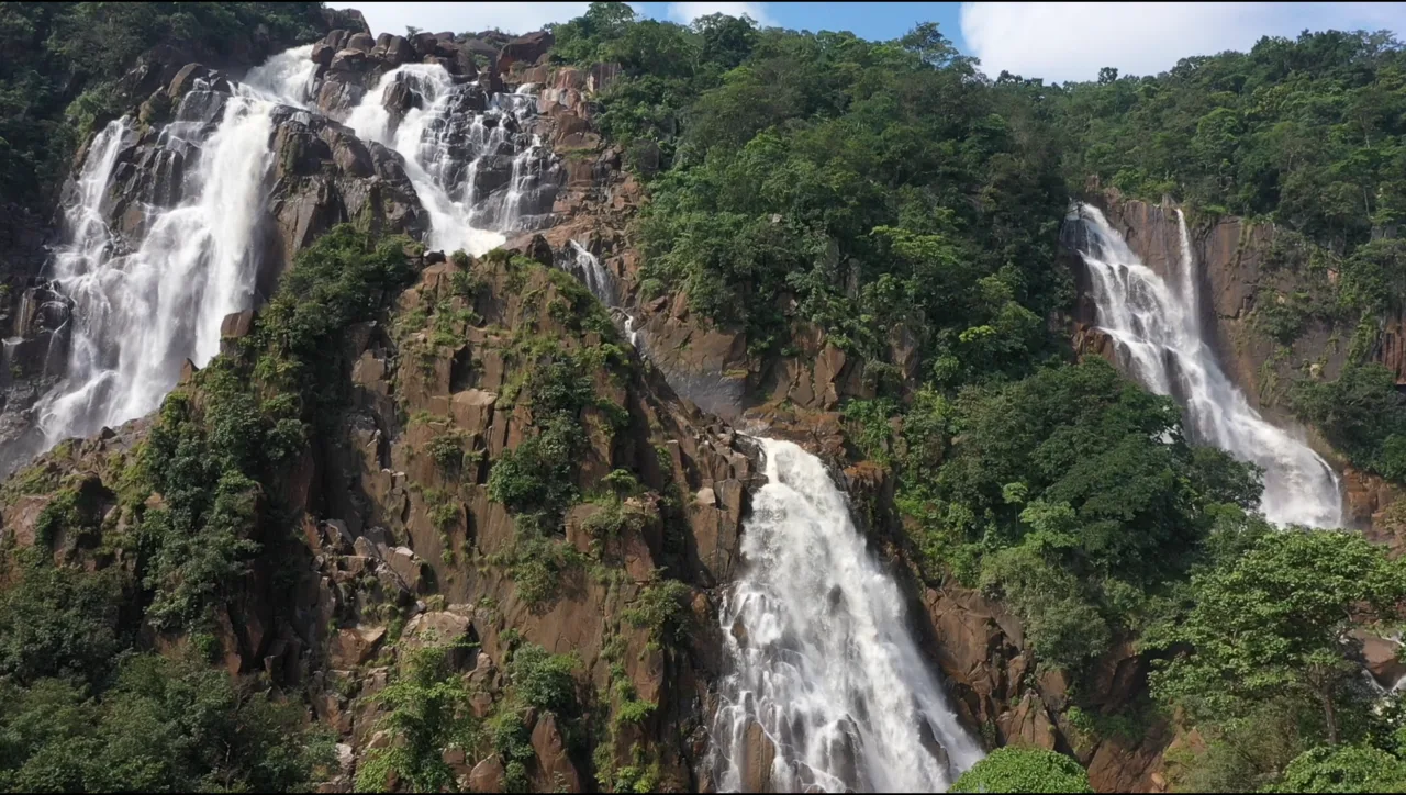
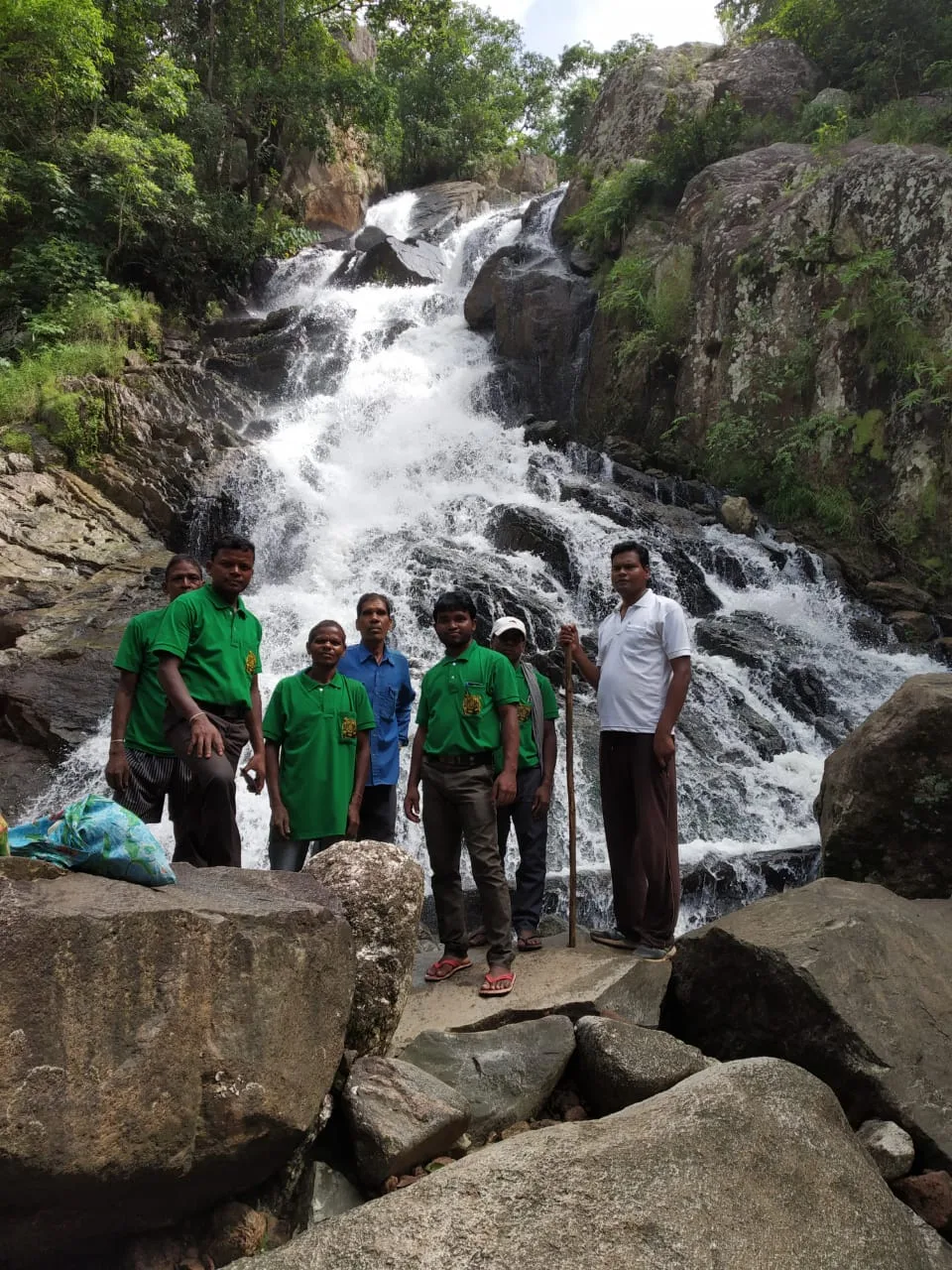
  • Lodh Falls
  • Palamu Chero forts
  • Forested landscapes and minerals

Why Latehar matters

Latehar is the administrative centre of Latehar district in north-western Jharkhand. Its importance comes less from big-city attractions than from its position amid a landscape of forests, uplands and mineral resources. The town serves as a local hub for residents and as a starting point for exploring parts of the Palamu region, including the forests of Betla National Park, the highland scenery of Netarhat and Lodh Falls. The district’s forest environment and communities are central to its character, while mining and forest-based activity contribute to the wider regional economy.

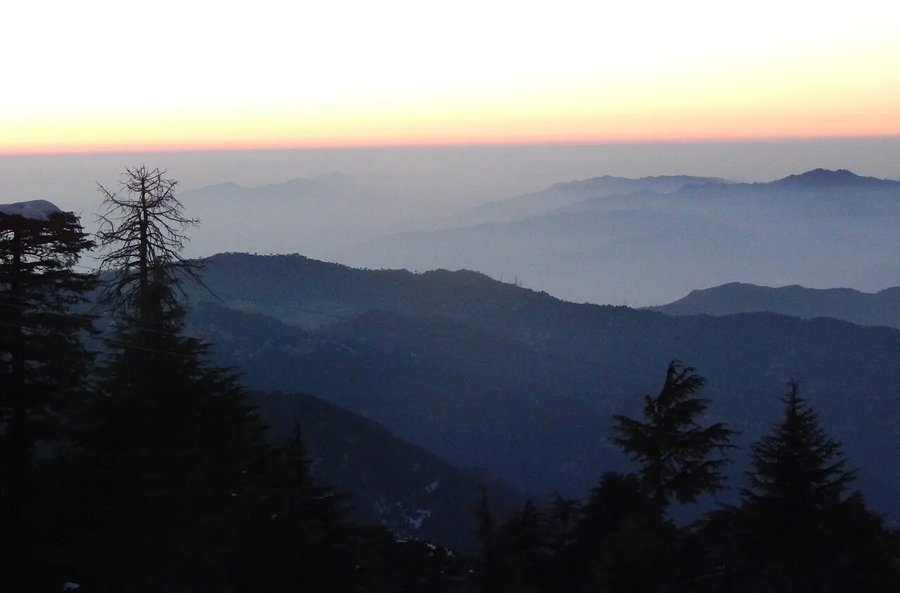
Visitors use Latehar as a practical base for road journeys into the district, rather than as a destination with a large concentration of monuments or specialist shopping. Its appeal lies in the contrast between a working district town and the surrounding natural terrain. The area also carries a layered history associated with the Chero rulers and the older Palamu region. Travellers interested in wildlife, waterfalls, plateau landscapes and the cultural diversity of Jharkhand can use the town to orient themselves before exploring farther afield.
Famous for: crafts, trade & products

Latehar is not especially known for a signature saree, textile tradition or a widely recognised GI-tagged product. Its better-known economic associations are the forests and mineral deposits of the surrounding district. Forest products form part of local livelihoods, although the town is not a nationally prominent craft-shopping centre. Visitors may find locally made goods and seasonal produce through ordinary town shops and markets, but availability varies; asking locally is the best way to identify items made nearby.

The main bazaar and the shops around the town centre are practical places to look for everyday goods, snacks and provisions, rather than a curated handicraft selection. Latehar’s role as a district headquarters also makes it a service and trading centre for nearby settlements. There is no established specialist market or prominent institution that visitors need to seek out for textiles or crafts. For regional products, travellers should treat purchases as part of a local market visit and check where an item was made, rather than assume it is a distinctive Latehar product.

History

Latehar’s past is closely connected with the broader history of Palamu, a forested region whose early history is recorded partly through tradition and local remains. Kharwars, Oraons and Cheros are among the communities associated with the area. The Cheros held power in Palamu for a long period; Medni Rai and his son Pratap Rai are remembered in regional accounts, including for the forts associated with their rule. Mughal campaigns reached Palamu in the sixteenth and seventeenth centuries, though difficult terrain and changing local powers shaped the course of control.

For much of its modern administrative history, Latehar was part of Palamu district. It became a subdivision in 1924 and later developed as a district headquarters. Jharkhand created Latehar district on 4 April 2001, giving the town a larger administrative role. Today, government services, local trade and road and rail links support its function as a centre for the surrounding district. Its growth has been closely tied to this administrative role and to the region’s forest and mineral economy.

Food, festivals & culture

Food in Latehar reflects the wider cuisine of Jharkhand: rice, pulses, seasonal vegetables and simple dishes made with local ingredients. Regional favourites such as dhuska, chilka roti and pittha may be found in local eateries, though menus vary. Thekua is closely associated with Chhath observances and is a familiar festive sweet in the region. Everyday food is generally more prominent than a single dish identified specifically with the town.

Hindi is widely used, alongside regional languages such as Nagpuri or Sadri and languages spoken by Adivasi communities, including Kurukh. Sarhul, a spring festival linked to nature and community worship, and Karma, commonly celebrated during the monsoon season, are important in the wider region. Sohrai is associated with the post-harvest period; Chhath, Diwali and Holi are also observed. Community celebrations can feature drum-led music and dances such as Karma and Jhumar. Places of worship include temples, local shrines and churches, reflecting the area’s varied communities.

Visiting the city

October to March is generally the most comfortable season for visiting Latehar and making excursions into the surrounding countryside. The monsoon brings greener scenery, but heavy rain can make some journeys less convenient. The nearest major airport is Birsa Munda Airport in Ranchi; Latehar Railway Station serves the town. Road travel connects Latehar with other district centres and nearby attractions.

Auto-rickshaws and locally arranged vehicles are useful for getting around town, while a hired vehicle is practical for visiting places farther away, including Betla, Netarhat and Lodh Falls. Explore the central bazaar and town centre for everyday shopping and a sense of local life. Latehar itself is compact; many of the area’s best-known natural and historical sights lie outside the town, so allow time for road journeys and check local conditions before setting out.

Trips from the city

Nearest places to visit from Latehar

Our closest destination guides, by straight-line distance.

Palamu fort

32 km away · Palamu district

Palamu fort

Palamu Fort is a pair of ruined strongholds in Jharkhand, associated with the Chero dynasty. Visitors come to see their remains near Betla National Park and the Auranga River.

Betla National Park

34 km away · Palamu district

Betla National Park

Betla National Park is in Jharkhand’s Palamu and Latehar districts. Visitors come for its varied wildlife and to experience the state’s only national park.

Lower Ghaghri Falls

35 km away · Latehar district

Lower Ghaghri Falls

Lower Ghaghri Falls is a 320-foot cascade in Latehar district, Jharkhand, about 10 kilometres from Netarhat. Visitors come to see the waterfall and its forest surroundings.

Netarhat

38 km away · Latehar district

Netarhat

Netarhat, in Jharkhand’s Latehar district, is a hill station on the Chotanagpur plateau. Visitors come to experience its hills, forest and waterfalls.

Lodh Falls

57 km away · Latehar district

Lodh Falls

Lodh Falls, also called Budha Ghagh, is a waterfall in Latehar district, Jharkhand. Visitors come to see the Burha River’s falls, which are the tallest in the state.

58 km away · Gumla district

Sadni Falls

Sadni Falls, also called Sadnighagh Falls, is a waterfall in Jharkhand’s Gumla district, about three kilometres from Rajadera village. Visitors go there to see the falls.

Patratu

80 km away · Ranchi district

Patratu

Patratu is a census town in Jharkhand, linked administratively to Patratu block and Ramgarh subdivision. The details provided do not identify a specific visitor attraction.

Itkhori

91 km away · Chatra district

Itkhori

Itkhori is a village and gram panchayat in Jharkhand’s Chatra district. Visitors to the area come to see the settlement and its place within the Itkhori CD block.

Map

Latehar on the map

  1. 1Palamu fort
  2. 2Betla National Park
  3. 3Lower Ghaghri Falls
  4. 4Netarhat
  5. 5Lodh Falls
  6. 6Sadni Falls
  7. 7Patratu
  8. 8Itkhori

Jharkhand

Other cities to explore