Ghumoopedia — Explore, Discover, Experience
Sign in
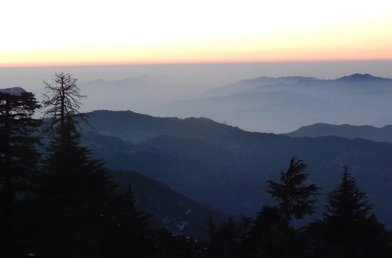
Netarhat, near Gumla

City guide · Jharkhand

Gumla

Gumla is the administrative centre of Gumla district in southwestern Jharkhand. Set on the southern Chota Nagpur Plateau, it serves residents of a largely rural region with government offices, schools, healthcare, banking and everyday trade.

Famous for

  • Gumla district headquarters
  • Gau-Mela tradition
  • Kali Temple at Sri Ramnagar
  • Chota Nagpur plateau setting
  • Bauxite-bearing hills

Why Gumla matters

Gumla is the administrative centre of Gumla district in southwestern Jharkhand. Set on the southern Chota Nagpur Plateau, it serves residents of a largely rural region with government offices, schools, healthcare, banking and everyday trade. The surrounding landscape of rolling plateau, flat-topped hills and river valleys gives the area a distinct character, while the district’s bauxite-bearing hills are part of its wider economic geography.

The town is best known for its role as a regional service centre and for the annual Gau-Mela tradition associated with its origins. Sri Ramnagar’s Kali Temple is an important local place of worship, and Gumla’s history links the town to the Nagvanshi-era Chhotanagpur region, colonial-era resistance and the freedom movement. Visitors generally come for local connections, religious visits or as a base for exploring the district rather than for a large collection of urban attractions. Gumla offers a practical introduction to the plateau’s everyday life, market activity and cultural mix.
Famous for: crafts, trade & products

Gumla is not especially identified with a signature saree, handicraft or GI-tagged product. Its character is more that of a district market town, serving nearby villages with shops and everyday goods. The town’s annual Gau-Mela recalls an older pattern of trading and bartering household utensils, ornaments, grain and, at times, cattle. Today, visitors can look for ordinary local goods in the central market area, though there is no single specialist craft quarter to seek out.

Small-scale products associated with the town include detergent, timber and steel items such as gates and grills. These are practical goods rather than established tourist souvenirs; timber and metalwork are best sought through local traders and workshops. Bauxite deposits are found in the wider hilly district, but the mineral is not a town-market product for visitors. Gumla’s banks, agricultural credit societies and public institutions also reflect its role as a service hub for the surrounding countryside. For a sense of local commerce, browse the central shops and market streets, keeping in mind that stock and trading activity vary by day.

History

Gumla is said to have grown from a hamlet where a week-long annual Gau-Mela brought people together to trade or barter household goods, grain and sometimes cattle. The settlement expanded and became known as Gumla, a name associated with Gau-Mela. In the medieval period, the wider Chhotanagpur region was ruled by the Nagvanshi dynasty; Baraik Devenandan Singh governed the Gumla region.

During British rule, Gumla was part of Lohardaga district. Resistance to colonial authority marked the area in the early nineteenth century, including an Oraon uprising in 1807 and the reported role of Bakhtar Say in 1818. The locality later came under Bishunpur province and, after administrative changes, Ranchi district. Gumla became a subdivision of Ranchi district in 1902. Ganga Maharaj, builder of the Kali Temple at Sri Ramnagar, took part in the Quit India Movement. Gumla district was established in 1983, with Dwarika Nath Sinha appointed its first deputy commissioner.

Food, festivals & culture

Gumla’s food reflects the wider Jharkhand plateau, where rice, lentils, seasonal vegetables and leafy greens are common. Regional snacks and meals may include dhuska, pitha and chilka roti, though offerings vary between homes and eateries. The town’s markets are the most convenient places to sample everyday local cooking; it is not known for a single defining sweet or specialty dish.

Sarhul, celebrated in spring, honours nature and the sal tree; Karma, usually observed during the monsoon or early autumn, is marked with communal singing and dance. Sohrai follows the harvest season, while Chhath is observed in the autumn. Oraon and other Adivasi traditions are an important part of the district’s cultural life, alongside Hindu customs. Hindi and Sadri are widely used, with Kurukh and other regional languages also heard. Folk music, group dancing and drumming accompany seasonal celebrations. Sri Ramnagar’s Kali Temple is a notable place of worship in the town.

Visiting the city

October to February is generally the most comfortable period to visit, with milder weather than the hot summer months. The monsoon brings substantial rain, while summer days can be very warm. Birsa Munda Airport in Ranchi is the nearest major airport. Gumla has no railway station; Ranchi Junction is the principal rail gateway, with the onward journey made by road.

Buses and road services connect Gumla with Ranchi and other towns; within the town, local autos and shared vehicles are useful for short trips. The central market area gives a feel for everyday commerce, while Sri Ramnagar is worth visiting for its Kali Temple. Gumla’s town centre is also the practical base for accessing district offices, shops and services. For excursions beyond town, plan road travel into the surrounding plateau and rural district.

Trips from the city

Nearest places to visit from Gumla

Our closest destination guides, by straight-line distance.

42 km away · Gumla district

Sadni Falls

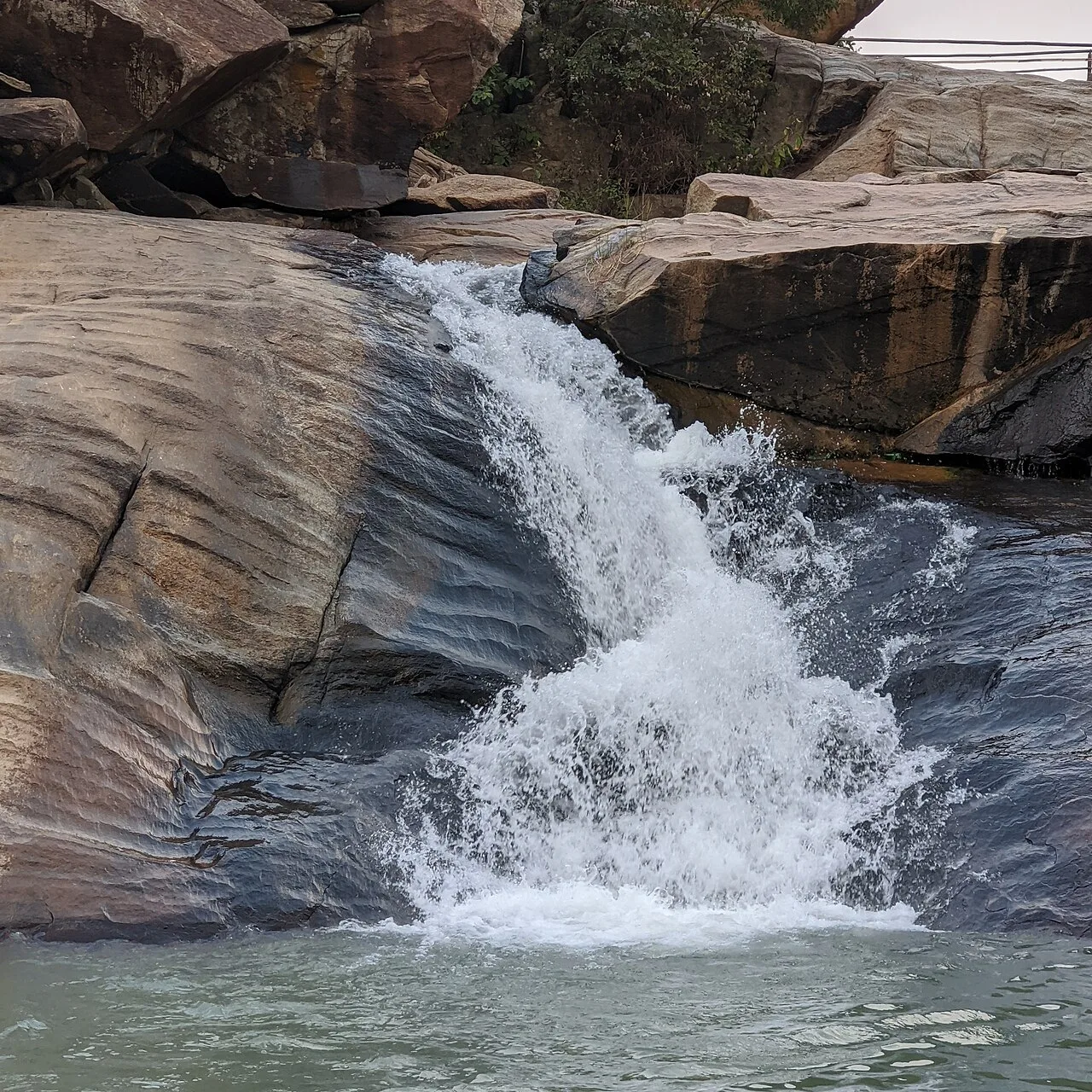
Sadni Falls, also called Sadnighagh Falls, is a waterfall in Jharkhand’s Gumla district, about three kilometres from Rajadera village. Visitors go there to see the falls.

Netarhat

56 km away · Latehar district

Netarhat

Netarhat, in Jharkhand’s Latehar district, is a hill station on the Chotanagpur plateau. Visitors come to experience its hills, forest and waterfalls.

Lower Ghaghri Falls

62 km away · Latehar district

Lower Ghaghri Falls

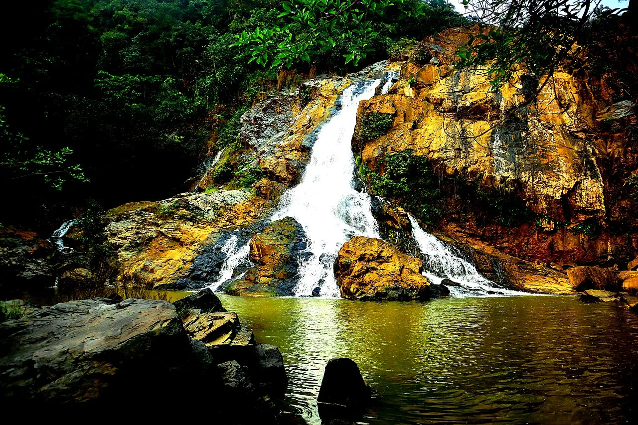
Lower Ghaghri Falls is a 320-foot cascade in Latehar district, Jharkhand, about 10 kilometres from Netarhat. Visitors come to see the waterfall and its forest surroundings.

Lodh Falls

72 km away · Latehar district

Lodh Falls

Lodh Falls, also called Budha Ghagh, is a waterfall in Latehar district, Jharkhand. Visitors come to see the Burha River’s falls, which are the tallest in the state.

Panchghagh Falls

74 km away · Ranchi district

Panchghagh Falls

Panchghagh Falls is a waterfall in Jharkhand, associated with both Khunti and Ranchi districts. Visitors come to see the falls.

Jagannath Temple

81 km away · Ranchi district

Jagannath Temple

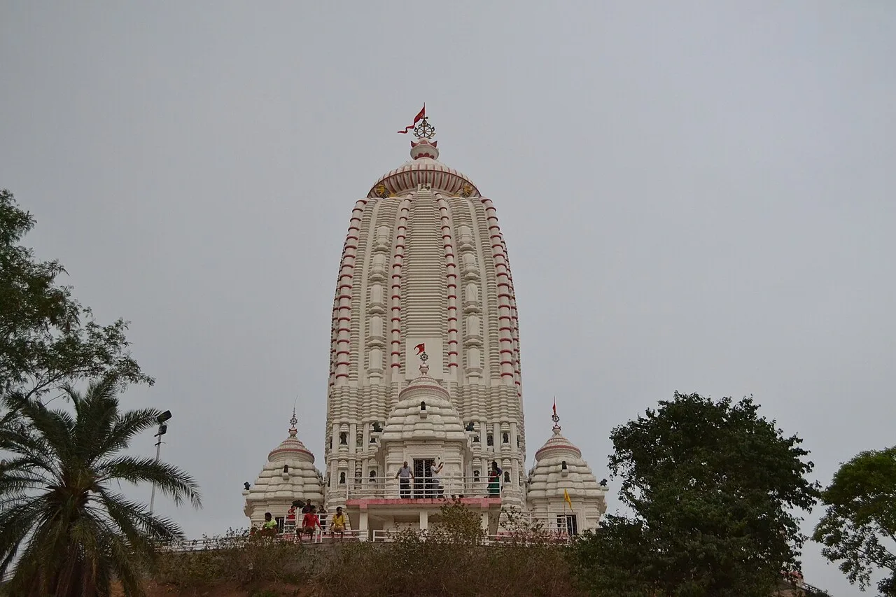
Dedicated to Jagannath, this Hindu shrine in Ranchi, Jharkhand, draws worshippers for its hilltop setting and the annual Rath Yatra and fair held during Aashaadha.

Hirni Falls

83 km away · West Singhbhum district

Hirni Falls

Hirni Falls is a waterfall in Jharkhand’s West Singhbhum district. Visitors go to see the waterfall, the defining feature of this place.

Pahari Mandir

87 km away · Ranchi district

Pahari Mandir

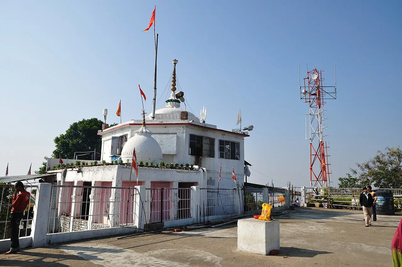
Pahari Mandir is a Shiva shrine on a hill in Ranchi, known for worship during Sawan and Shivaratri, its colonial-era history and flag-raising ceremonies.

Map

Gumla on the map

  1. 1Sadni Falls
  2. 2Netarhat
  3. 3Lower Ghaghri Falls
  4. 4Lodh Falls
  5. 5Panchghagh Falls
  6. 6Jagannath Temple
  7. 7Hirni Falls
  8. 8Pahari Mandir

Jharkhand

Other cities to explore