
Ghumoopedia — Explore, Discover, Experience
Sign in
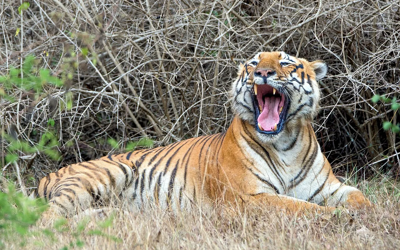
Bandipur National Park, near Gundlupet

City guide · Karnataka

Gundlupet

Gundlupet is a small municipal town in Chamarajanagar district, southern Karnataka, valued for its position at the meeting point of regional roads, farming country and wildlife destinations. Set on National Highway 766, it is the final Karnataka town on the route toward Ooty, Wayanad and Kozhikode.

Famous for

  • Flower-growing fields
  • Bandipur gateway
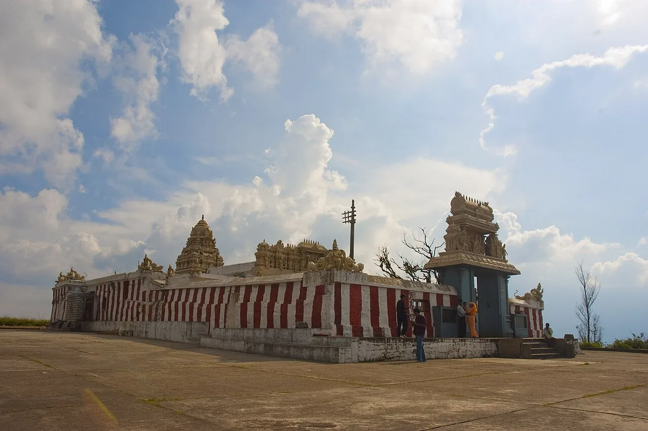
  • Vijayanarayana Temple
  • National Highway crossroads
  • Borderland location
In the city
0
Nearby
2
District
Chamarajanagar
Plan a trip

Why Gundlupet matters

Gundlupet is a small municipal town in Chamarajanagar district, southern Karnataka, valued for its position at the meeting point of regional roads, farming country and wildlife destinations. Set on National Highway 766, it is the final Karnataka town on the route toward Ooty, Wayanad and Kozhikode. National Highway 181 also begins here, linking the town with Ooty and onward toward Tamil Nadu’s coast. Its location close to the Kerala and Tamil Nadu borders gives Gundlupet a distinctive cross-border character, with travellers, produce and languages moving through the area.

The town is best known for flower cultivation and as a practical gateway to Bandipur National Park, about 17 kilometres away. Visitors use it as a base or stop on journeys between Mysuru and the Nilgiri hills, and to explore nearby countryside and temples. Gundlupet is also associated with the historic Vijayanarayana Temple. At around 816 metres above sea level, it lies amid a landscape that shifts from cultivated fields to forested hills, making it a useful starting point for both rural and wildlife-focused visits.
Famous for: crafts, trade & products

Gundlupet’s most visible agricultural signature is its flower-growing countryside. Fields around the town cultivate flowers for local and wider markets, and their colours can make the approach especially striking when crops are in bloom. Flower availability and the appearance of fields vary with the growing season, so visitors should not expect a fixed annual display. The town’s markets and roadside sellers are places to look for locally traded flowers and seasonal farm produce.

Gundlupet is not especially known as a centre for a distinctive textile, handicraft or GI-tagged product. Its identity is more closely tied to agriculture, transport and access to the surrounding landscape than to a signature manufactured good. For everyday shopping, explore the central market streets and shops around the main roads; these serve residents and travellers with practical goods and food supplies. The town’s highway position also supports trade between Mysuru, the Nilgiri region and neighbouring states. For a more specialised selection of crafts or regional products, visitors may find broader choice in larger nearby cities rather than in Gundlupet itself.

History

Gundlupet was formerly known as Vijayapura, a name associated with the ancient Vijayanarayana Temple. The temple remains an important marker of the town’s past and religious life. Over time, settlement and trade grew around this local centre and the routes crossing the southern Mysuru region.

The area formed part of the wider historical landscape of the Mysore kingdom and later the princely state of Mysore. Its position near the approaches to the Nilgiris and the present-day Kerala and Tamil Nadu borders helped make it a stopping point for movement between towns and rural markets. In the modern period, improved road connections strengthened that role. Gundlupet now sits on National Highway 766, while National Highway 181 starts here, carrying traffic toward Ooty and Tamil Nadu. The town is part of Chamarajanagar district and serves nearby farming communities as well as visitors travelling to Bandipur and the surrounding hills. Its development has therefore been shaped by both its temple-centred past and its continuing role as a road junction.

Food, festivals & culture

Kannada is the main language of daily life in Gundlupet. Tamil is also commonly heard in this border region, and Malayalam may be encountered among travellers and residents with connections across the Kerala border. Local food reflects the broader southern Karnataka kitchen: rice meals, idli, dosa, sambar and ragi-based dishes are familiar choices. Ragi mudde is a regional staple, while sweets such as Mysore pak are available as part of the wider Karnataka food tradition; neither should be treated as an exclusive Gundlupet speciality.

Ugadi, usually in spring, Deepavali in autumn and the Dasara season are observed in the town and surrounding communities. Temple celebrations add a local religious focus, particularly at the Vijayanarayana Temple. The hilltop Himavad Gopalaswamy Temple, in the nearby Bandipur landscape, is another destination for worshippers and visitors. Karnataka folk music and dance may feature at community or festival events, though the programme varies. Everyday culture is shaped by farming, temple traditions and the steady movement of people along the highways.

Visiting the city

The cooler, drier months, generally from late autumn into early spring, are comfortable for exploring Gundlupet and nearby countryside. Flower fields depend on crop cycles, so their appearance varies. Bandipur visits are best planned with current park access and conservation rules in mind.

Mysuru Airport is the nearest airport option commonly used by visitors; Bengaluru’s airport offers a wider range of connections but is much farther away. Gundlupet has no railway station: Chamarajanagar is the nearest rail station, while Mysuru Junction is the main rail hub for many onward journeys. Buses, taxis and private vehicles connect the town with nearby destinations. Explore the central market streets and Vijayanarayana Temple on foot, then use a vehicle for Bandipur, Himavad Gopalaswamy Temple or the flower-growing countryside. The highway junction is convenient for transit, but quieter rural areas are better explored in daylight.

Short trips

Around Gundlupet

Within about 40 km — easy half-day or day trips from the city.

Map

Gundlupet on the map

  1. 1Bandipur National Park
  2. 2Gopalaswamy Hills, Bandipur

Karnataka

Other cities to explore