Ghumoopedia — Explore, Discover, Experience
Sign in

City guide · Madhya Pradesh

Balaghat

Balaghat is the administrative headquarters of Balaghat district in southeastern Madhya Pradesh. Its position beside the Wainganga River and amid the forested landscapes of the Satpura region gives it a distinct setting, while its offices, markets and transport links make it an important service centre for surrounding towns and rural communities.

Famous for

  • Wainganga River
  • Rice mills
  • Tile factories
  • Satpura forests
  • Balaghat district headquarters

Why Balaghat matters

Balaghat is the administrative headquarters of Balaghat district in southeastern Madhya Pradesh. Its position beside the Wainganga River and amid the forested landscapes of the Satpura region gives it a distinct setting, while its offices, markets and transport links make it an important service centre for surrounding towns and rural communities. The city is also associated with rice milling and tile manufacturing, industries that reflect its role as a regional working town rather than a major urban tourist destination.

Visitors often use Balaghat as a base for exploring the district’s forests and nearby wildlife areas. The landscape, river and access to forest routes are a draw for travellers interested in nature and quieter journeys. Within the city, everyday commercial life is concentrated around its markets and central streets. Balaghat’s appeal lies in this mix of administrative importance, local industry and proximity to the natural environments of the district.
Famous for: crafts, trade & products

Balaghat is best known locally for rice mills and tile factories, rather than for a nationally prominent textile or handicraft tradition. Rice and other everyday goods can be found in the city’s general markets; tiles are more likely to be purchased through building-material dealers or manufacturers than through a visitor-focused craft market. The city serves as a practical shopping centre for residents of nearby settlements, with shops supplying household needs, clothing, agricultural goods and construction materials.

The surrounding district is forested, and local trade also reflects the needs of communities connected to farming and forest livelihoods. Visitors looking for a distinctive regional product should ask in the town’s markets about produce in season, while recognising that availability varies. Balaghat is not widely identified with a particular saree, signature handicraft or GI-tagged product. Its commercial identity is more closely tied to its rice-processing and tile-making businesses, district-level services and role as a marketplace for the surrounding area.

History

The settlement that became Balaghat was once known as Burha (बूढ़ा). Balaghat was originally the name of the district; over time, the district’s name came to be used for the town as well. The wider region has a history shaped by Gond communities and polities, followed by Maratha influence before British administration. As district administration developed during the colonial period, the town became the headquarters and an important centre for public services and trade.

In modern times, Balaghat has continued to serve as the district’s administrative hub. Its growth has been supported by government offices, local markets and transport connections with surrounding settlements. Rice mills and tile factories form part of its working economy, alongside services for a largely rural district. The Wainganga River and nearby forests remain prominent features of the city’s setting, even as its day-to-day importance rests on administration, commerce and industry.

Food, festivals & culture

Hindi is widely used in Balaghat, alongside Marathi and Gondi in the wider district. Everyday meals commonly draw on central Indian staples such as rice, lentils, vegetables and roti. Market stalls and local eateries offer familiar snacks and sweets, though the city is not especially known for one signature dish. Food choices and seasonal ingredients can reflect the district’s farming and forest surroundings.

Diwali, Holi, Dussehra and Navratri are among the festivals observed in the city, with celebrations following the usual seasonal calendar: Holi in spring, Navratri and Dussehra in autumn, and Diwali later in the autumn season. Community and folk traditions are also part of life in the district, including music and dance associated with Gond communities and local celebrations. Places of worship include Hindu temples as well as other religious institutions serving the city’s diverse residents. Festival activity is generally most visible in neighbourhoods, markets and places of worship.

Visiting the city

The cooler months, roughly October to February, are generally the most comfortable time to visit. Birsi Airport near Gondia is the nearest airport. Balaghat Junction is the main railway station serving the city. From either transport hub, onward travel is by road; within town, auto-rickshaws and local taxis are practical options.

The central market and surrounding streets are useful areas to explore for everyday shops and local food. The Wainganga riverbank offers a change of pace, while the district headquarters area gives a sense of Balaghat’s administrative role. Travellers heading for forests or wildlife areas beyond the city should arrange road transport locally and allow time for the journey. Balaghat works well as a regional base, rather than as a destination with a large concentration of visitor attractions.

Trips from the city

Nearest places to visit from Balaghat

Our closest destination guides, by straight-line distance.

Kanha Tiger Reserve

66 km away · Kanha district

Kanha Tiger Reserve

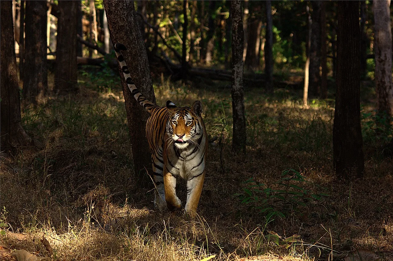
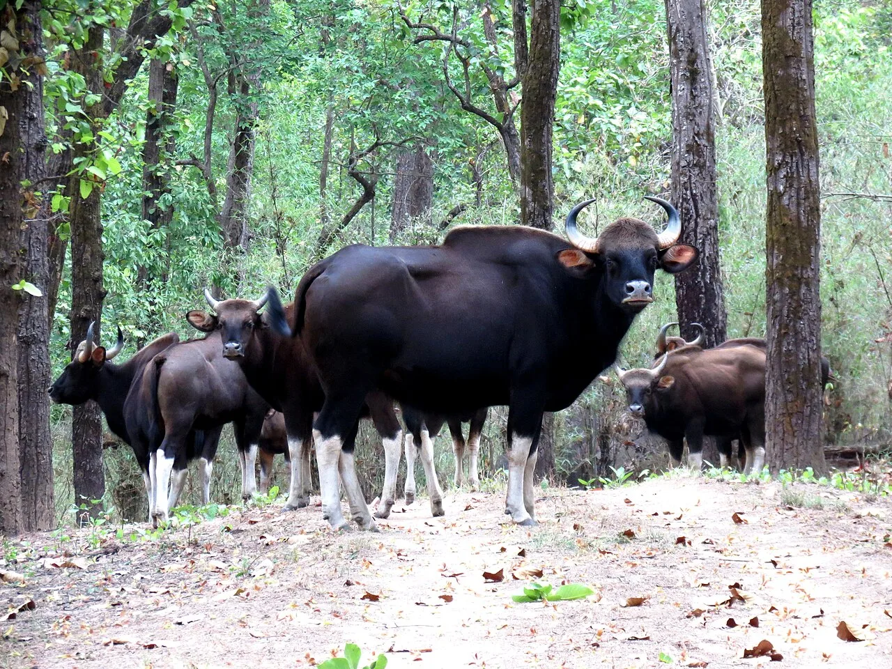
Situated in Madhya Pradesh, Kanha Tiger Reserve is a major protected area that draws visitors interested in Bengal tigers, barasingha and other wildlife, including leopards, sloth bears and dholes.

Pench National Park

93 km away · Seoni district

Pench National Park

Pench National Park is a protected area in Madhya Pradesh and a core component of Pench Tiger Reserve. Visitors come to explore the park within the wider reserve.

Pench Tiger Reserve

98 km away · Seoni district

Pench Tiger Reserve

Pench Tiger Reserve is a protected tiger landscape shared by Madhya Pradesh and Maharashtra. Visitors come to explore its wildlife habitat and look for tigers.

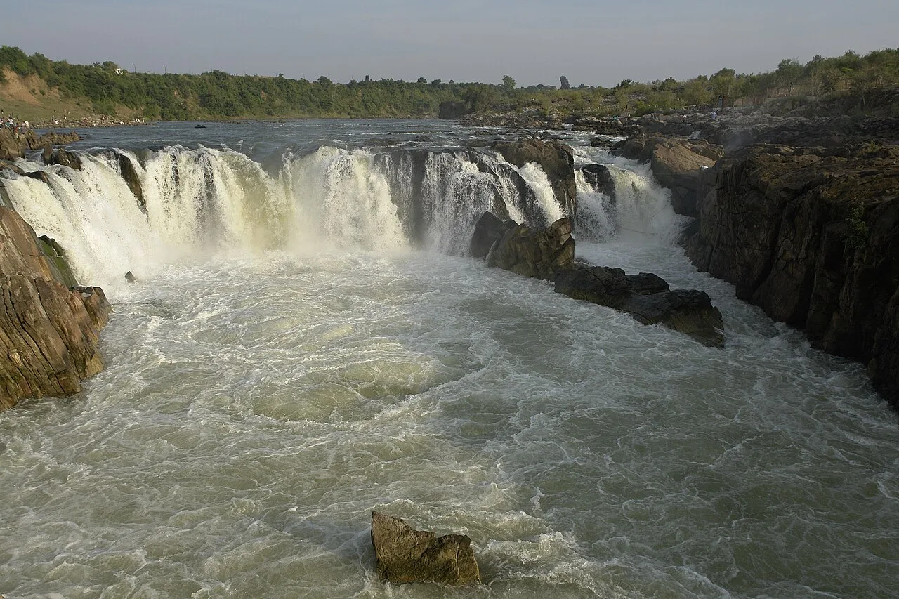
Dhuandhar Falls

151 km away · Jabalpur district

Dhuandhar Falls

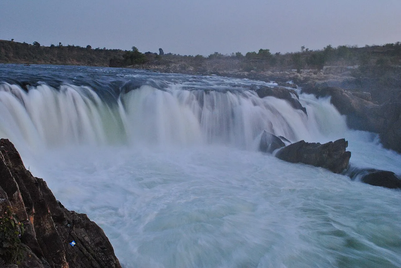
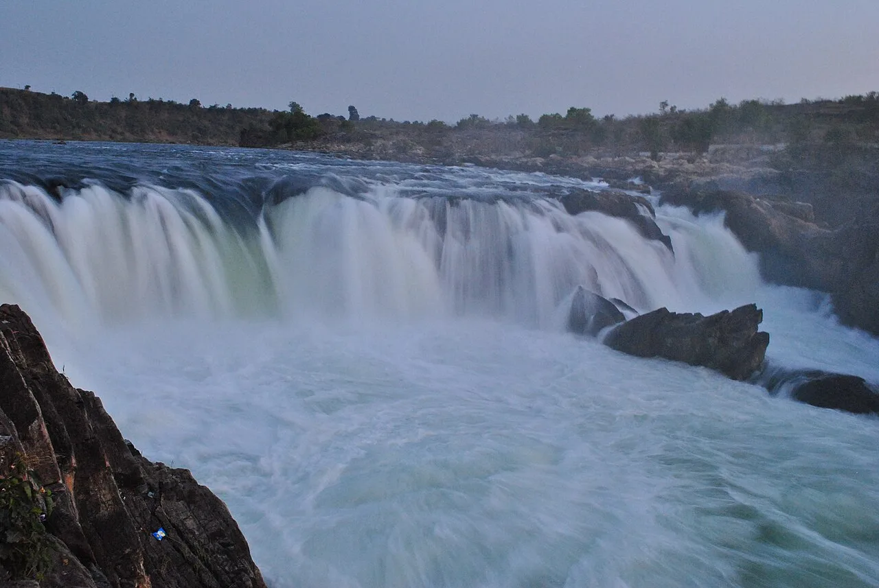
Dhuandhar Falls is a waterfall located in Jabalpur district, Madhya Pradesh. Visitors come to see the falls, a natural feature of the district.

Madan Mahal

151 km away · Jabalpur district

Madan Mahal

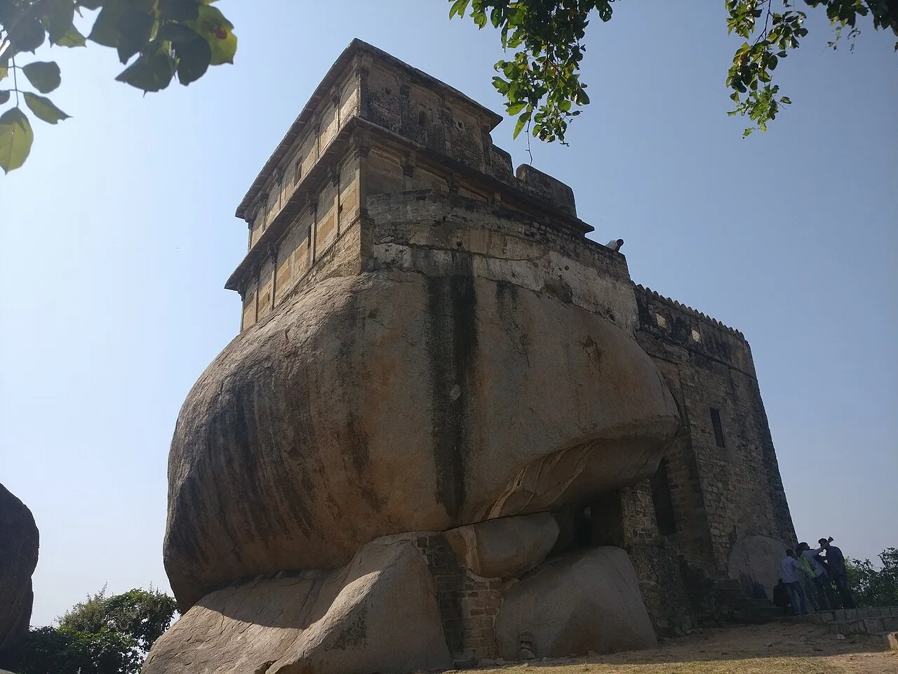
Madan Mahal is a suburb in Jabalpur district, Madhya Pradesh, best known for the historic Durgavati fort. Visitors come to see the hilltop fort associated with Raja Madan Singh.

Bhedaghat

152 km away · Jabalpur district

Bhedaghat

Bhedaghat, a nagar panchayat in Jabalpur district, Madhya Pradesh, draws visitors to the Narmada’s marble gorge and the misty cascade at Dhuandhar Falls.

Marble Rocks

152 km away · Jabalpur district

Marble Rocks

Marble Rocks is a gorge carved into marble by the Narmada at Bhedaghat, near Jabalpur in Madhya Pradesh. Visitors come to see the river-shaped landscape and locally made marble figures.

Chauragarh Temple

167 km away · Hoshangabad district

Chauragarh Temple

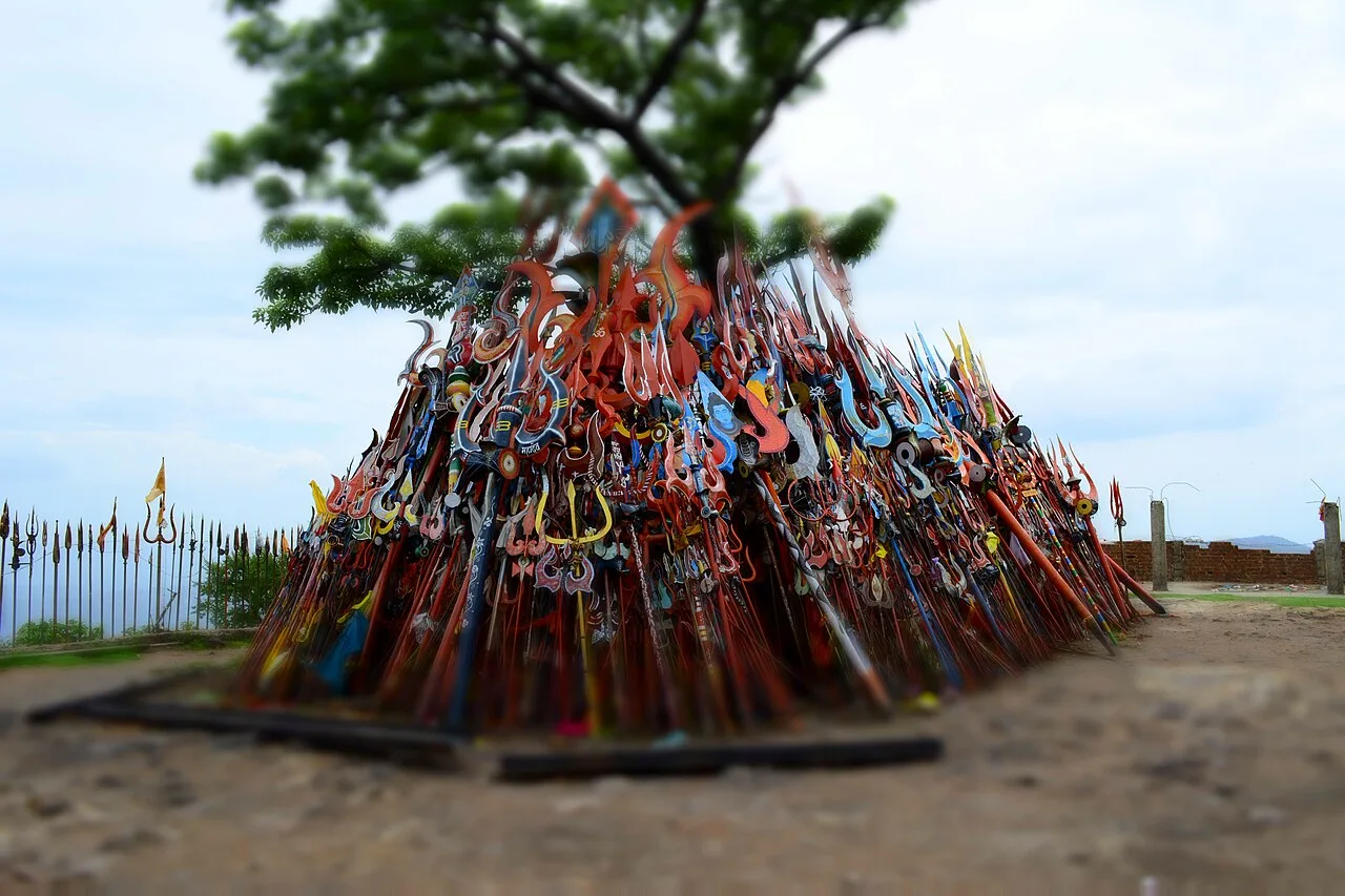
Chauragarh Temple is a historic religious and fort complex in Madhya Pradesh, set on a Satpuda peak. Visitors come to see its shrine, fort remains and structures associated with Gond rulers.

Map

Balaghat on the map

  1. 1Kanha Tiger Reserve
  2. 2Pench National Park
  3. 3Pench Tiger Reserve
  4. 4Dhuandhar Falls
  5. 5Madan Mahal
  6. 6Bhedaghat
  7. 7Marble Rocks
  8. 8Chauragarh Temple

Madhya Pradesh

Other cities to explore