Ghumoopedia — Explore, Discover, Experience
Sign in
Bhedaghat, near Katangi

City guide · Madhya Pradesh

Katangi

Katangi is a small Nagar Parishad town in Jabalpur district, set along the Damoh–Jabalpur Road in eastern Madhya Pradesh. Its importance is primarily regional: it serves residents and nearby villages with local shops, services and connections to larger centres.

Famous for

  • Hiran River surroundings
  • Damoh–Jabalpur Road link
  • Jabalpur district market town
  • Countryside setting

Why Katangi matters

Katangi is a small Nagar Parishad town in Jabalpur district, set along the Damoh–Jabalpur Road in eastern Madhya Pradesh. Its importance is primarily regional: it serves residents and nearby villages with local shops, services and connections to larger centres. The road gives the town a practical role as a stop along a route linking Jabalpur and Damoh, while Jabalpur remains the main urban hub for wider travel and services.

The Hiran River flows near Katangi, adding a rural landscape of river country and cultivated surroundings to the town’s everyday character. Visitors are more likely to come for local connections, a short stop on the road or an introduction to life beyond the larger cities than for a major sightseeing circuit. Katangi’s appeal lies in this quieter setting and its position between district communities. It is a useful base for understanding the smaller market towns that support the Jabalpur region, rather than a destination centred on a single landmark or renowned tourist attraction.
Famous for: crafts, trade & products

Katangi is best understood as a local service and trading centre, rather than as a destination identified with a particular textile, handicraft or GI-tagged product. Its shops and market area cater to everyday needs, serving residents and people travelling in from nearby villages. Visitors can browse the town’s general stores and produce sellers for a sense of ordinary commerce in this part of Jabalpur district; the Damoh–Jabalpur Road is the main corridor through which the town connects with neighbouring centres.

There is no need to expect a specialist craft bazaar or a large-scale industrial district. For a wider choice of textiles, manufactured goods and regional products, Jabalpur is the principal nearby urban centre. Katangi’s identity instead comes from its role in the surrounding local economy and its position on a regional road. The Hiran River and the countryside around the town are notable features of its setting, while the market remains the most direct place to observe local trade and daily routines.

History

Katangi’s development is closely connected to its position in the Jabalpur district countryside and on the route between Jabalpur and Damoh. The wider region has a layered past: it was associated with Gond rule, later came under Maratha influence, and was incorporated into British administration. These successive periods shaped the region’s political geography and routes, though Katangi is best approached as a local town within that larger history rather than as a former royal capital.

In the modern period, road access and local administration have been central to the town’s growth. The Damoh–Jabalpur Road links Katangi with larger centres and supports movement for work, trade and essential services. Its Nagar Parishad status reflects its role as an established urban centre for the surrounding area. Today, Katangi’s growth remains tied to this practical network of roads, local commerce and connections with Jabalpur.

Food, festivals & culture

Daily life in Katangi reflects the rhythms of a small Madhya Pradesh market town, with family life, local shops and nearby villages shaping its social calendar. Hindi is widely used, and Bundeli influences are part of the broader speech and cultural landscape of the region. Meals commonly draw on central Indian home cooking, with lentils, seasonal vegetables, roti and rice; poha, samosas and jalebi are familiar snack or breakfast choices across the wider region.

Diwali and Holi bring seasonal gatherings, while Navratri is observed with devotional activity and community celebrations. Other Hindu festivals are marked according to local custom, and places of worship serve as centres for prayer and neighbourhood life. Music and dance are generally part of festival, wedding and family occasions rather than a formal performance scene for visitors. A walk through the market and residential streets offers a better sense of everyday culture than looking for a dedicated cultural venue.

Visiting the city

The cooler months, roughly October to March, are generally the most comfortable time to visit; summer can be hot, while the monsoon brings greener countryside and wetter road conditions. The nearest airport is Jabalpur Airport, also known as Dumna Airport. Jabalpur Junction is the main railway station for reaching the district and continuing onward to Katangi. From Jabalpur, road travel along the Damoh–Jabalpur route is the practical way to reach town.

Within Katangi, the central market and the streets around it are easy areas to explore on foot, while local road transport can help with longer trips. The road corridor and the countryside towards the Hiran River give a sense of the town’s setting. Katangi works well as a brief stop or as part of a wider visit based in Jabalpur.

Trips from the city

Nearest places to visit from Katangi

Our closest destination guides, by straight-line distance.

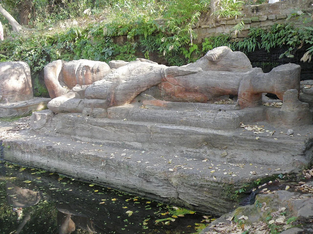
Bhedaghat

34 km away · Jabalpur district

Bhedaghat

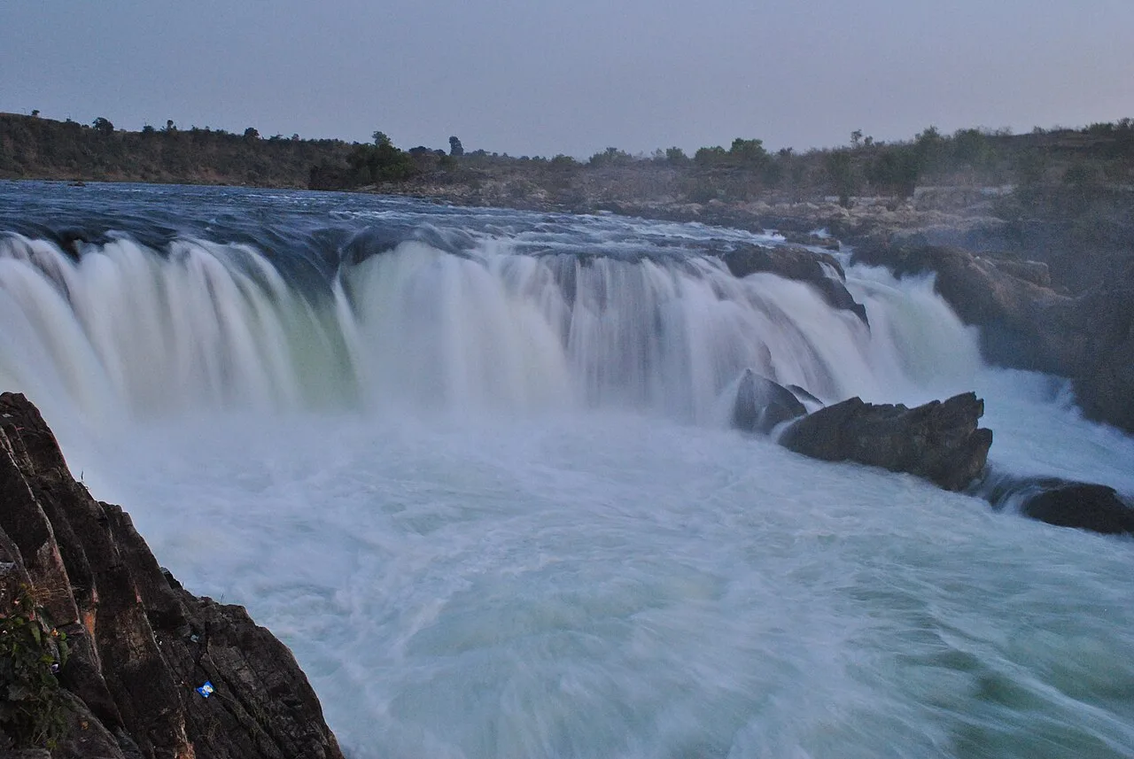
Bhedaghat, a nagar panchayat in Jabalpur district, Madhya Pradesh, draws visitors to the Narmada’s marble gorge and the misty cascade at Dhuandhar Falls.

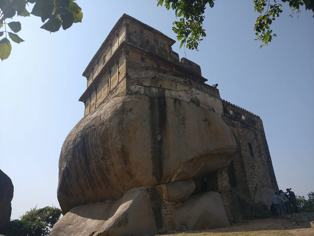
Madan Mahal

34 km away · Jabalpur district

Madan Mahal

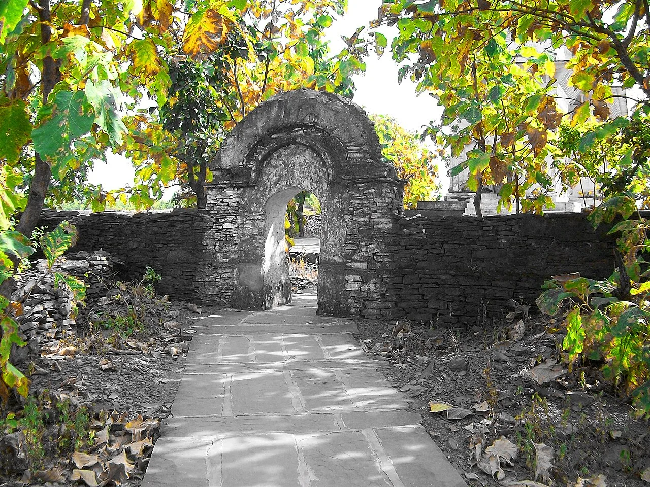
Madan Mahal is a suburb in Jabalpur district, Madhya Pradesh, best known for the historic Durgavati fort. Visitors come to see the hilltop fort associated with Raja Madan Singh.

Marble Rocks

34 km away · Jabalpur district

Marble Rocks

Marble Rocks is a gorge carved into marble by the Narmada at Bhedaghat, near Jabalpur in Madhya Pradesh. Visitors come to see the river-shaped landscape and locally made marble figures.

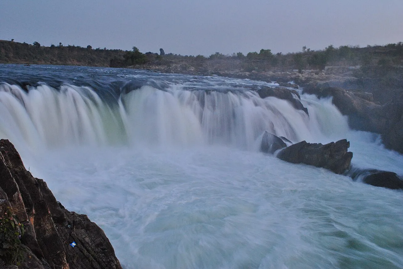
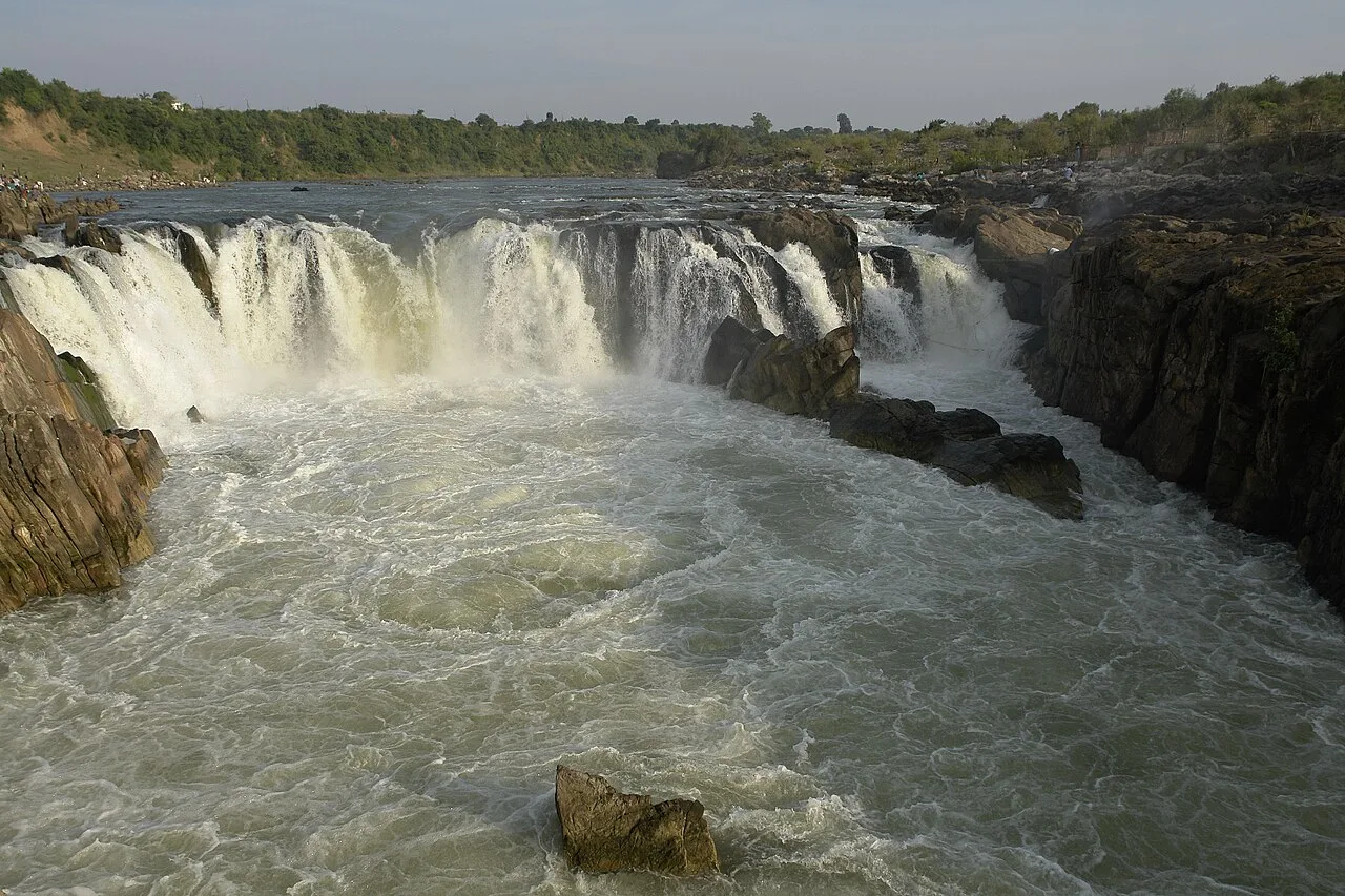
Dhuandhar Falls

35 km away · Jabalpur district

Dhuandhar Falls

Dhuandhar Falls is a waterfall located in Jabalpur district, Madhya Pradesh. Visitors come to see the falls, a natural feature of the district.

Kundalpur Jain Temples

61 km away · Damoh district

Kundalpur Jain Temples

The Kundalpur Jain Temples are a pilgrimage destination for Digambar Jains in Madhya Pradesh’s Damoh district. The town of Kundalpur lies 37 kilometres north-east of Damoh city.

Chauragarh Temple

117 km away · Hoshangabad district

Chauragarh Temple

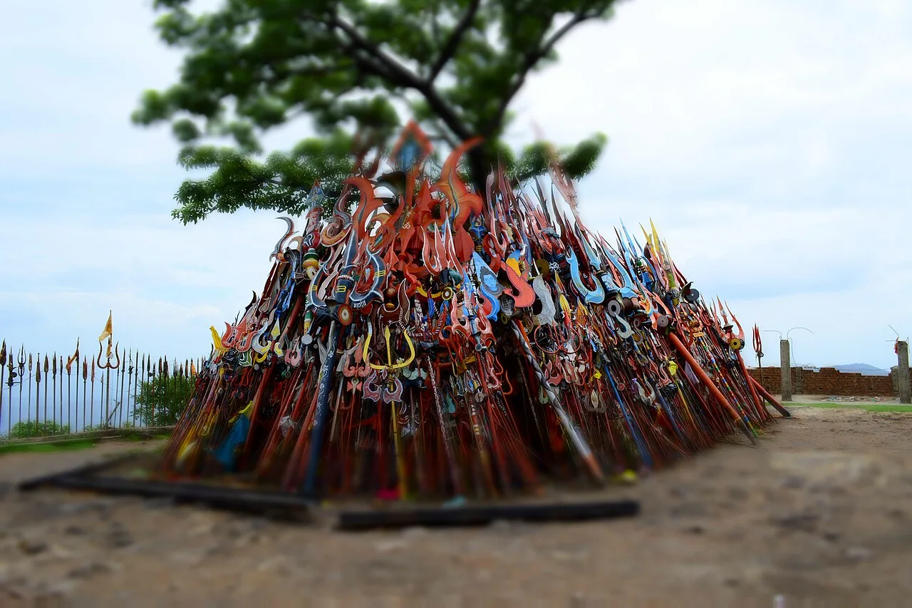
Chauragarh Temple is a historic religious and fort complex in Madhya Pradesh, set on a Satpuda peak. Visitors come to see its shrine, fort remains and structures associated with Gond rulers.

Bandhavgarh National Park

122 km away · Bandhavgarh district

Bandhavgarh National Park

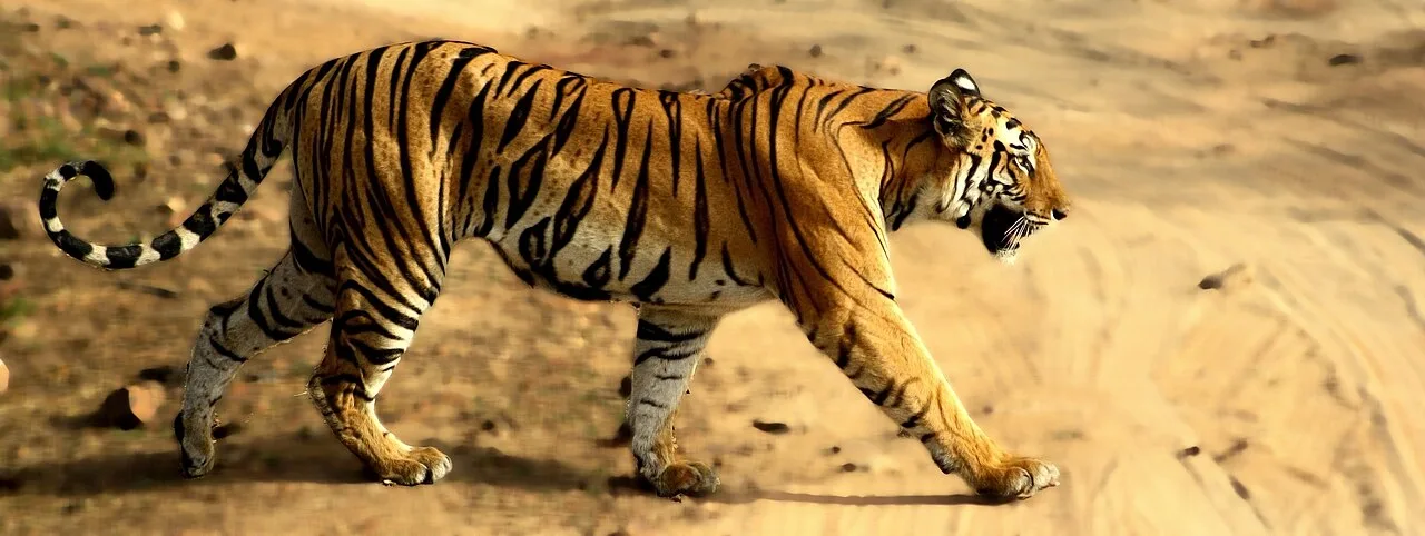
Bandhavgarh National Park, in Umaria district, Madhya Pradesh, is a protected area with extensive forests and diverse wildlife. Visitors are drawn especially by its tigers and other animals.

Bandhavgarh Fort

129 km away · Bandhavgarh district

Bandhavgarh Fort

Bandhavgarh Fort is a historic stronghold in Umaria district, Madhya Pradesh, within Bandhavgarh National Park, drawing interest for its landscape and long political history.

Map

Katangi on the map

  1. 1Bhedaghat
  2. 2Madan Mahal
  3. 3Marble Rocks
  4. 4Dhuandhar Falls
  5. 5Kundalpur Jain Temples
  6. 6Chauragarh Temple
  7. 7Bandhavgarh National Park
  8. 8Bandhavgarh Fort

Madhya Pradesh

Other cities to explore