Ghumoopedia — Explore, Discover, Experience
Sign in
Bandhavgarh National Park, near Katni

City guide · Madhya Pradesh

Katni

Katni, officially known as Murwara, is an important city in eastern Madhya Pradesh and the administrative headquarters of Katni district. Located in the Mahakoshal region, it serves nearby towns and rural areas through its transport links, markets and public services.

Famous for

  • Limestone and cement
  • Katni marble
  • Major railway junction
  • Katni River
  • Mahakoshal regional hub

Why Katni matters

Katni, officially known as Murwara, is an important city in eastern Madhya Pradesh and the administrative headquarters of Katni district. Located in the Mahakoshal region, it serves nearby towns and rural areas through its transport links, markets and public services. Its railway junction connects routes across central India, making the city a practical stop for travellers as well as a base for journeys around the region.

Katni is especially associated with limestone, cement production and marble trade, earning it the nickname “City of Lime.” The surrounding mineral resources have helped shape its industrial economy, while railways support the movement of goods and people. Visitors come chiefly for its transport connections, local markets and nearby regional destinations rather than for a large concentration of major tourist attractions within the city. The Katni River gives the city its geographical setting. Jabalpur, the divisional headquarters and a larger centre for sightseeing, is about 90 kilometres away.
Famous for: crafts, trade & products

Katni’s best-known products are limestone, cement and marble. Mineral extraction and processing are significant parts of the local economy, and the city’s nickname, “City of Lime,” reflects its association with limestone. Marble is also traded in the area; stone dealers and building-material businesses are the most relevant places to enquire about locally available varieties. Industrial sites and quarries are working facilities, so access should not be assumed without permission.

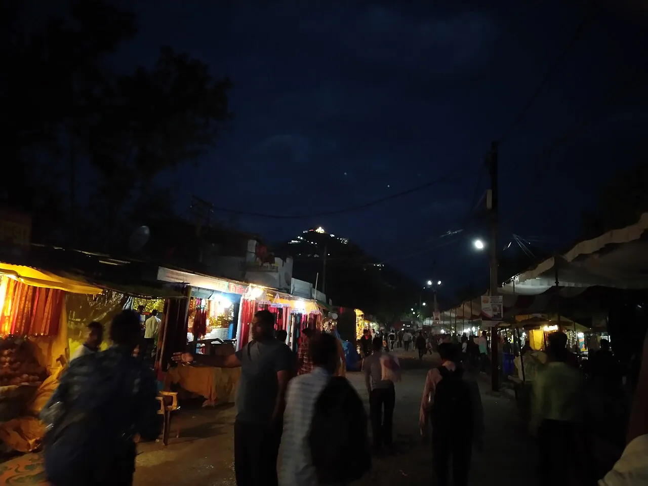
Katni is not particularly known for a distinctive regional saree, craft tradition or widely recognised GI-tagged product. Its commercial role is more closely tied to minerals, construction materials and railway-linked trade. The central market areas serve everyday shopping needs, including food, clothing and household goods, while hardware and stone businesses cater to construction and renovation. Visitors looking for a specific marble product should compare dealers and confirm the stone’s origin and suitability before buying. The city’s railway station area is a convenient starting point for finding transport and shops, but it is not a dedicated craft or souvenir district.

History

The Katni region has roots in the history of Gondwana and formed part of territories governed by Gond rulers. During the medieval period, it was associated with the Gond kingdom of Garha-Katanga, whose best-known ruler was Rani Durgavati. Mughal forces defeated her in 1564, after which political control in the wider region shifted over time. In the 18th century, the area came under Maratha influence, particularly that of the Bhonsle rulers of Nagpur.

Following the Third Anglo-Maratha War, the British extended their control over the region in 1818. Katni’s growth accelerated later in the 19th century as railway development turned it into an important junction. Rail connections strengthened trade in local minerals, including limestone and marble, and encouraged the growth of associated businesses. After India became independent in 1947, Katni continued to develop as an industrial and transport centre. It is now the headquarters of Katni district and remains closely linked to mineral-based industries and railway commerce.

Food, festivals & culture

Katni’s everyday food reflects the wider central Indian kitchen, with wheat- and lentil-based meals, seasonal vegetables and familiar Madhya Pradesh snacks such as poha and jalebi. Sweets and savoury snacks are available in local markets, though the city is not especially associated with a nationally recognised signature dish. Hindi is widely used; regional speech and customs reflect the cultural mix of Mahakoshal and neighbouring areas.

Diwali, usually in autumn, and Holi, in spring, are widely observed. Navratri and Dussehra bring devotional gatherings and seasonal celebrations, while Eid is marked by Muslim communities. Religious observance is centred on neighbourhood temples, shrines and mosques, with community events and devotional music forming part of festival life. Folk and film music, bhajans and local performance traditions are heard at gatherings; specific programmes vary by season and venue. Visitors can experience the city’s culture most naturally through its markets, places of worship and festival-time public celebrations, while observing local customs at religious sites.

Visiting the city

The most comfortable period to visit is generally October to March, when days are milder than in the hot summer months. Jabalpur Airport, also known as Dumna Airport, is the nearest airport of practical use; it lies roughly 90 kilometres away. Katni Junction is the city’s main railway station and a major rail hub. Check current connections before travelling.

Auto-rickshaws, taxis and local transport can be used for getting around; availability and journey times vary. The central market and older parts of town offer a sense of everyday city life, while the Katni River vicinity provides a geographical point of interest. The station area is convenient for onward travel and basic services. Katni can also serve as a base for exploring destinations elsewhere in the district or travelling onward to Jabalpur.

Trips from the city

Nearest places to visit from Katni

Our closest destination guides, by straight-line distance.

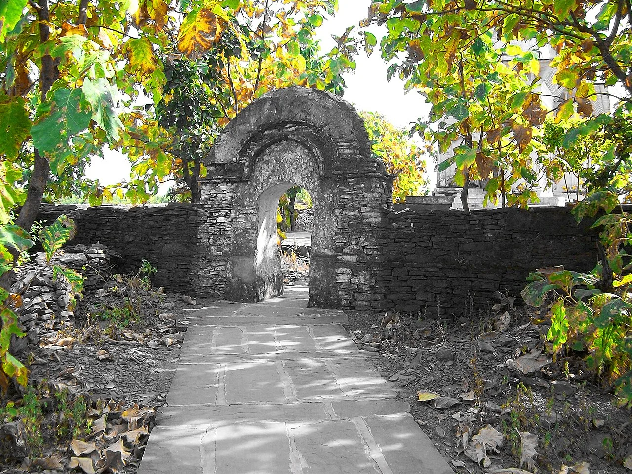
Bandhavgarh National Park

60 km away · Bandhavgarh district

Bandhavgarh National Park

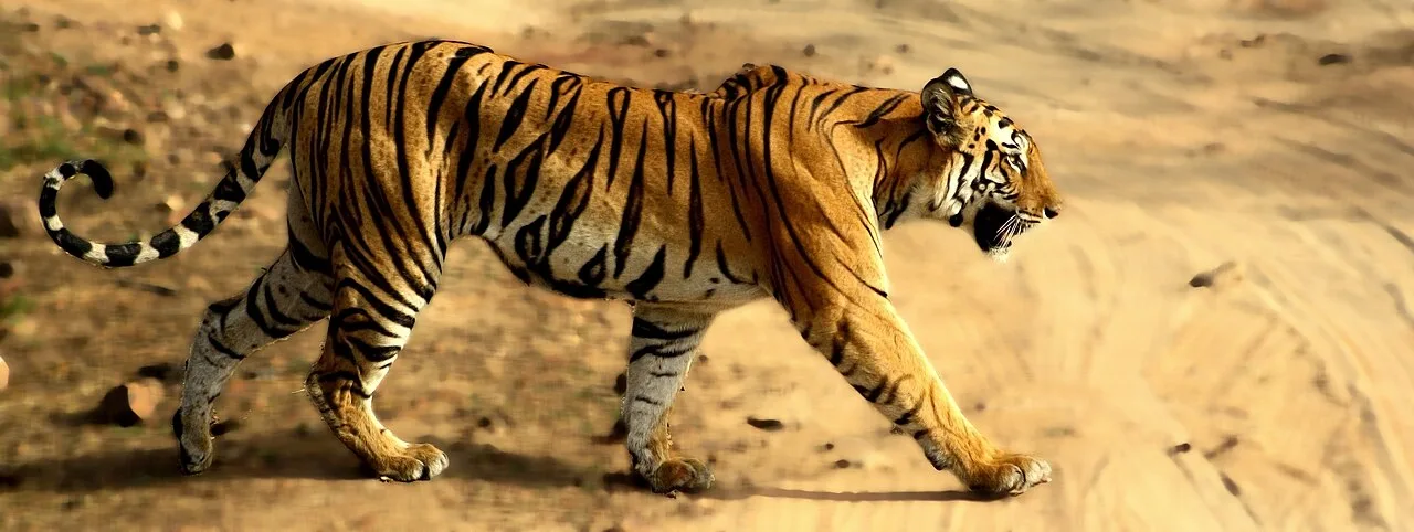
Bandhavgarh National Park, in Umaria district, Madhya Pradesh, is a protected area with extensive forests and diverse wildlife. Visitors are drawn especially by its tigers and other animals.

Maihar Sharda Temple

60 km away · Satna district

Maihar Sharda Temple

Maihar Sharda Temple is a religious shrine in Madhya Pradesh, associated with Maa Sharda and counted among the Shakti Peeth. Worshippers visit for its religious significance.

Bandhavgarh Fort

68 km away · Bandhavgarh district

Bandhavgarh Fort

Bandhavgarh Fort is a historic stronghold in Umaria district, Madhya Pradesh, within Bandhavgarh National Park, drawing interest for its landscape and long political history.

Kundalpur Jain Temples

70 km away · Damoh district

Kundalpur Jain Temples

The Kundalpur Jain Temples are a pilgrimage destination for Digambar Jains in Madhya Pradesh’s Damoh district. The town of Kundalpur lies 37 kilometres north-east of Damoh city.

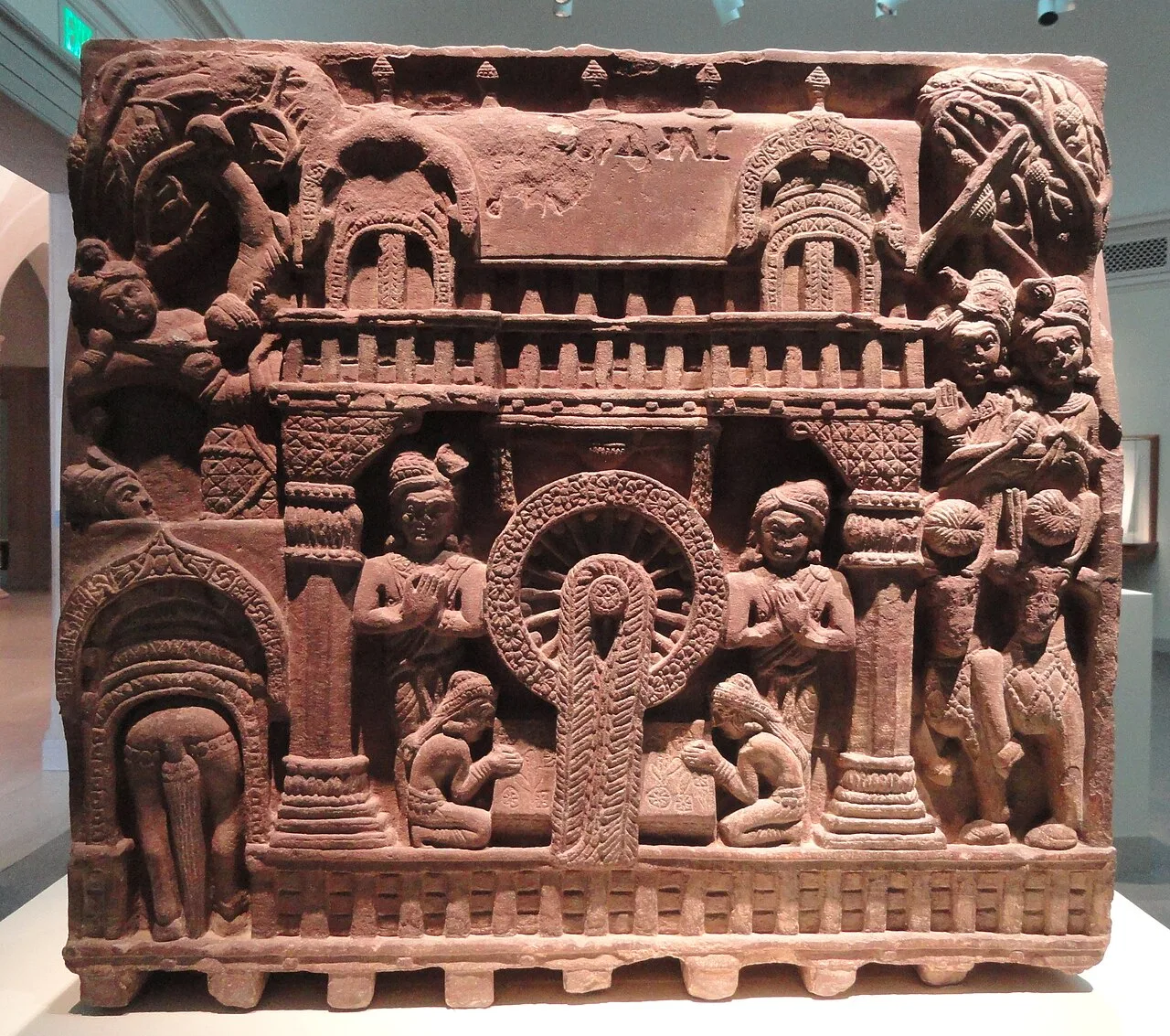
Bharhut Stupa Remains

82 km away · Satna district

Bharhut Stupa Remains

Bharhut Stupa Remains are the surviving traces of a Buddhist stupa in Madhya Pradesh. Visitors come to learn about its early carvings, labelled relief panels and history, though most sculptures are now held elsewhere.

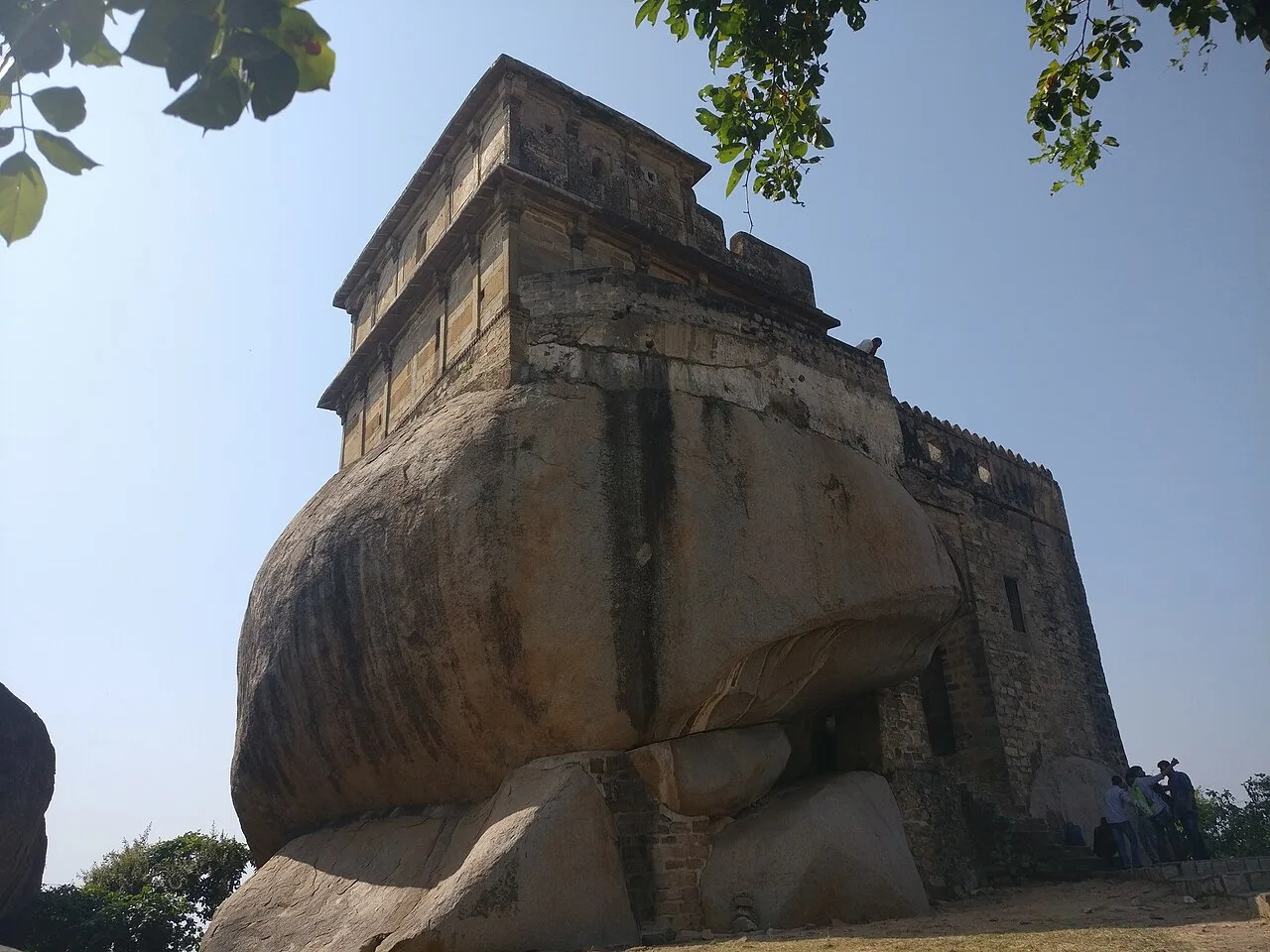
Madan Mahal

92 km away · Jabalpur district

Madan Mahal

Madan Mahal is a suburb in Jabalpur district, Madhya Pradesh, best known for the historic Durgavati fort. Visitors come to see the hilltop fort associated with Raja Madan Singh.

Bhedaghat

99 km away · Jabalpur district

Bhedaghat

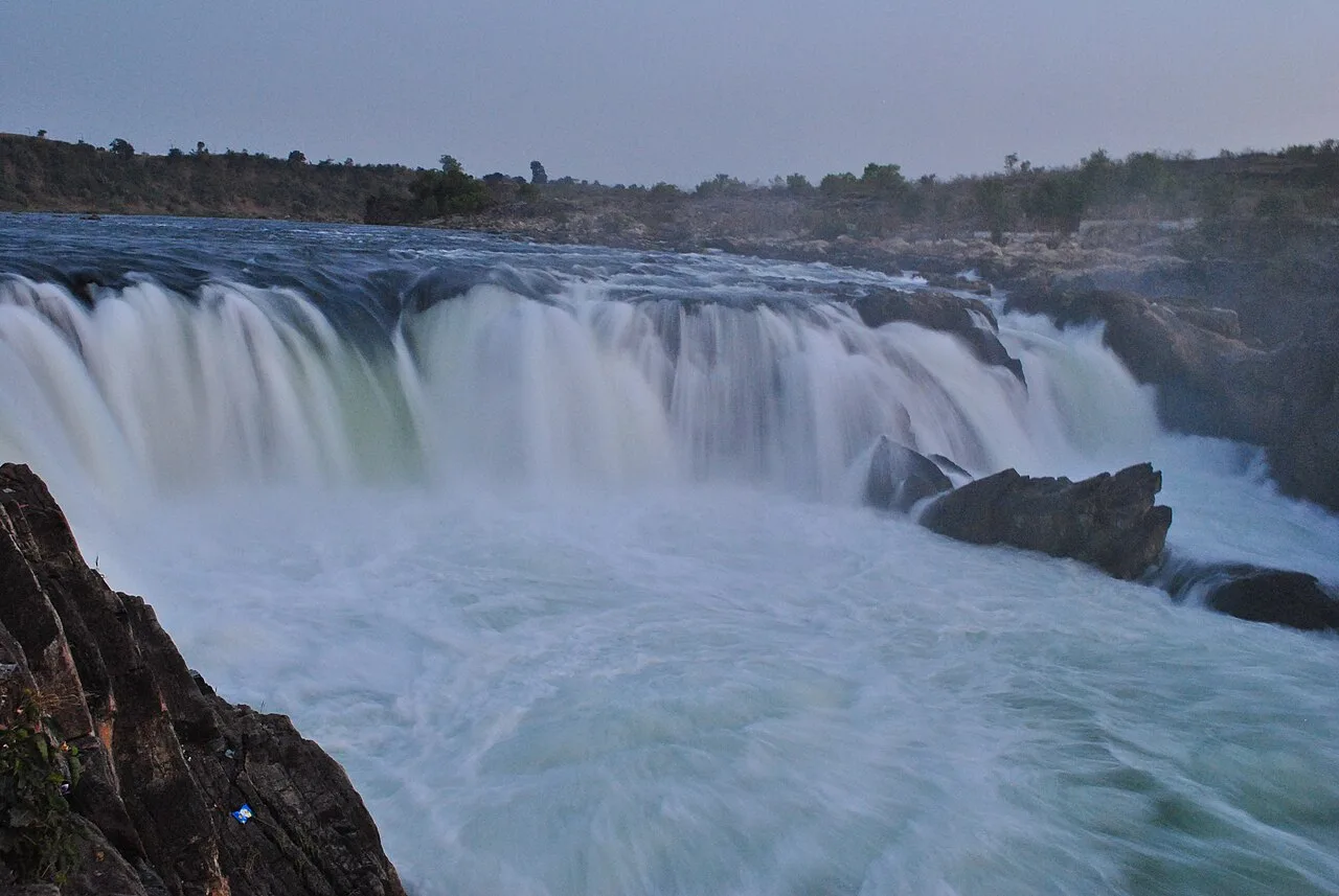
Bhedaghat, a nagar panchayat in Jabalpur district, Madhya Pradesh, draws visitors to the Narmada’s marble gorge and the misty cascade at Dhuandhar Falls.

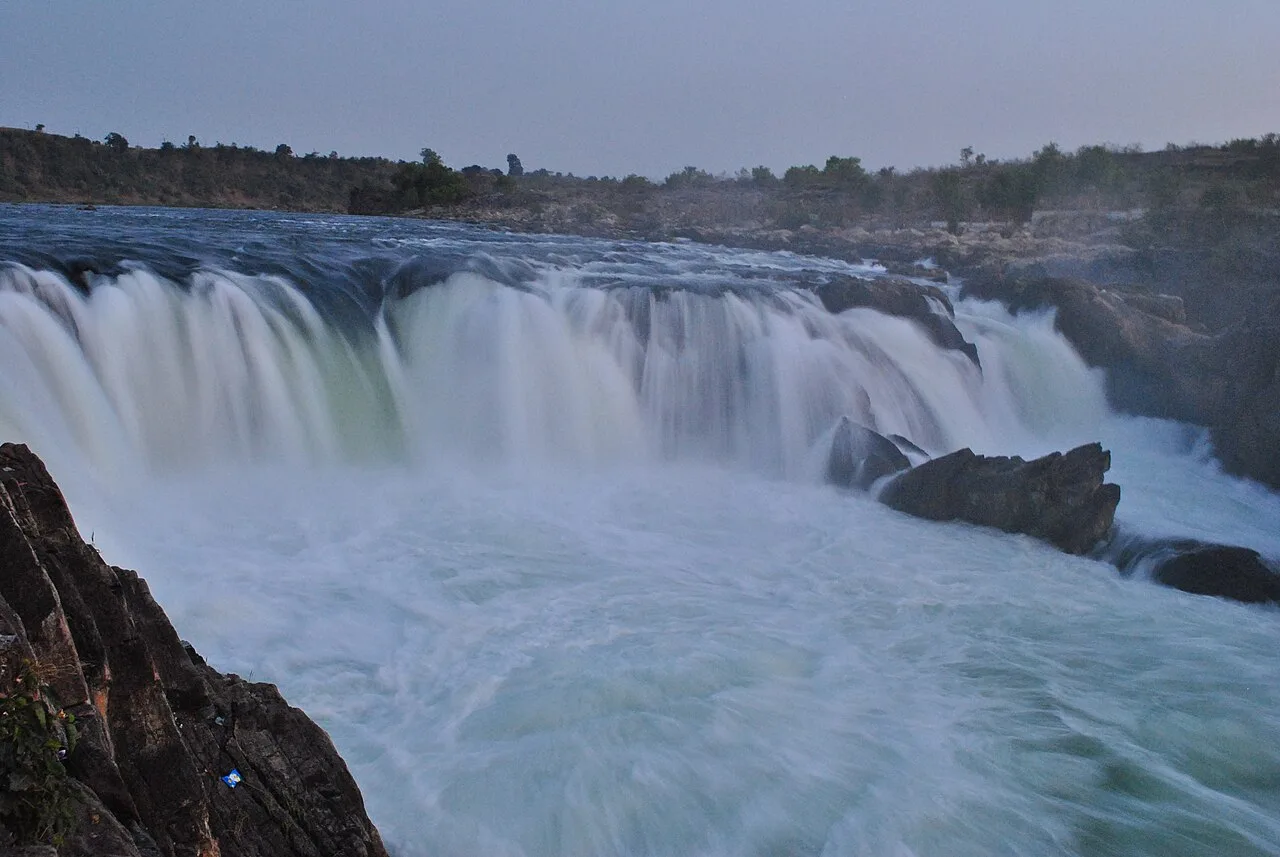
Dhuandhar Falls

99 km away · Jabalpur district

Dhuandhar Falls

Dhuandhar Falls is a waterfall located in Jabalpur district, Madhya Pradesh. Visitors come to see the falls, a natural feature of the district.

Map

Katni on the map

  1. 1Bandhavgarh National Park
  2. 2Maihar Sharda Temple
  3. 3Bandhavgarh Fort
  4. 4Kundalpur Jain Temples
  5. 5Bharhut Stupa Remains
  6. 6Madan Mahal
  7. 7Bhedaghat
  8. 8Dhuandhar Falls

Madhya Pradesh

Other cities to explore