Ghumoopedia — Explore, Discover, Experience
Sign in
Matheran, near Panvel

City guide · Maharashtra

Panvel

Panvel is a major urban centre in Raigad district, at the meeting point of the Mumbai metropolitan region and routes leading south into the Konkan. Its position has made it an important rail and road hub for commuters, businesses and travellers heading towards Pune, Goa and other parts of coastal Maharashtra.

Famous for

  • Gateway to Raigad
  • Panvel railway junction
  • Karnala Fort and sanctuary
  • Gadhi River
  • Mumbai–Pune transport corridor

Why Panvel matters

Panvel is a major urban centre in Raigad district, at the meeting point of the Mumbai metropolitan region and routes leading south into the Konkan. Its position has made it an important rail and road hub for commuters, businesses and travellers heading towards Pune, Goa and other parts of coastal Maharashtra. The city is also often described as a gateway to Raigad.

Panvel’s appeal lies in this combination of connectivity, local markets and nearby natural and historic sites. Karnala Fort and Karnala Bird Sanctuary, set among the surrounding hills, are popular excursions from the city. Within Panvel, the Gadhi River and the contrast between the older market area and newer planned neighbourhoods give a sense of its changing character. Development linked to Navi Mumbai and the wider region continues to bring homes, commerce and transport infrastructure to the area. Panvel Municipal Corporation administers the city, while CIDCO has a development role in parts of the region.

Famous for: crafts, trade & products

Panvel is better known as a trading and transport centre than as a destination for a distinctive textile, handicraft or GI-tagged product. Its everyday markets serve residents and travellers, with shops selling clothing, household goods, fresh produce and locally used supplies. The older market area is a good place to browse small shops and sample snacks; larger commercial areas and shopping centres are found in newer neighbourhoods. There is no widely recognised craft or GI-tagged product uniquely associated with the city, so visitors looking for specialist regional crafts may need to explore elsewhere in Raigad or the Konkan.

The local economy draws on transport, construction, services and industry in the wider Panvel–Navi Mumbai area. The Taloja industrial area is nearby, while the region’s road and rail links support logistics and commerce. Panvel’s railway station and bus connections are important institutions in daily life, alongside schools, colleges, healthcare facilities and municipal services. For visitors, the most useful places to look for local goods are the central market streets and the commercial clusters around the railway station and newer residential areas.

History

Panvel grew as a market town serving settlements between the coast, the Deccan plateau and routes across the Western Ghats. Its location near waterways and overland corridors helped it connect inland trade with the Konkan. The region passed through the hands of local powers, including the Marathas, before coming under British rule in the nineteenth century. Trade, farming and transport shaped the town’s older economy, while its market streets developed around the needs of surrounding villages.

Rail connections and improved roads later strengthened Panvel’s role as a regional junction. In the late twentieth century, the planned development of Navi Mumbai and the expansion of suburbs around Panvel brought new housing, institutions and commercial activity. The city’s growth has also been shaped by its links to industrial and port-related areas elsewhere in the region. Panvel Municipal Corporation now administers the city, while CIDCO has had a role in planning and development across parts of the surrounding urban region. The older town and newer neighbourhoods together reflect this transition from market centre to metropolitan hub.

Food, festivals & culture

Panvel’s everyday food reflects the mix of Maharashtrian and Konkani influences found across the region. Local eateries commonly serve dishes such as misal pav, vada pav, thalipeeth and rice-based meals; seafood is also available, though menus vary by restaurant. Modak and puran poli are familiar festive sweets rather than products unique to the city. The central market area and busy roads around the station offer casual places to eat.

Marathi is the principal local language, and Hindi, Urdu, Gujarati and English are also heard. Ganesh Chaturthi, usually during the monsoon, is widely celebrated, alongside Navratri and Dussehra in autumn, Diwali, Holi and Eid. Community gatherings, devotional music and processions form part of the festival calendar. Worship is practised at local temples, mosques, churches and other neighbourhood shrines; Khandeshwar Temple is among the area’s familiar places of worship. Folk and popular Marathi music are part of local celebrations, while dance styles vary with the occasion and community.

Visiting the city

The cooler months, roughly November to February, are comfortable for exploring Panvel and making excursions to nearby hills. The monsoon brings greener scenery but can mean heavy rain and slower road travel. Chhatrapati Shivaji Maharaj International Airport in Mumbai is the established airport serving the city. Panvel railway station is the main rail hub, with connections to Mumbai and other regional destinations.

Auto-rickshaws, local buses and app-based taxis are useful for getting around; confirm that a vehicle can reach your destination before setting out. Explore the older Panvel market for its shops and street life, and New Panvel for its planned neighbourhoods and services. Khandeshwar and the areas towards Karnala make useful stops or bases for nearby outings. The fort and bird sanctuary are outside the central urban area, so allow time for the road journey.

Trips from the city

Nearest places to visit from Panvel

Our closest destination guides, by straight-line distance.

Matheran

17 km away · Raigad district

Matheran

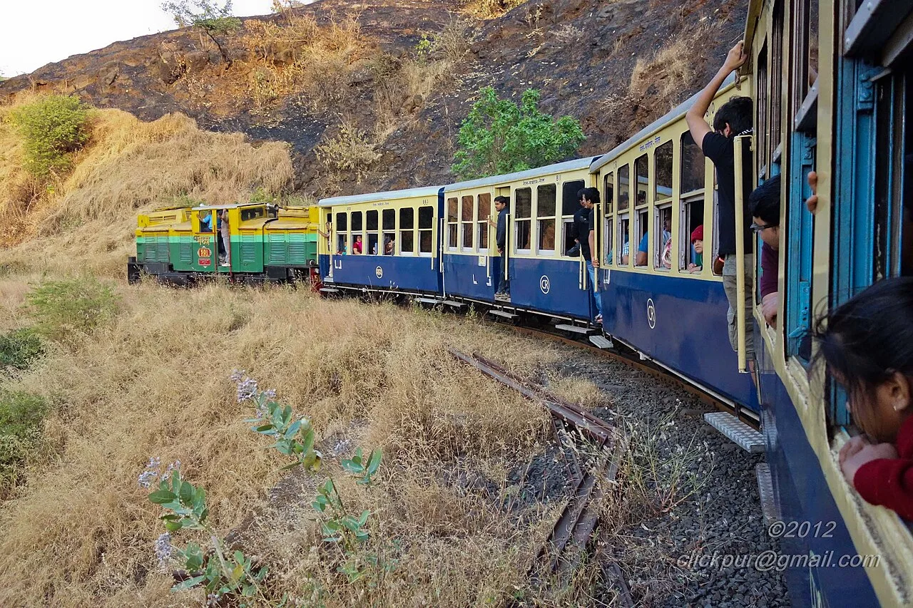
Matheran is a hill town in Maharashtra’s Raigad district, known for its limited motor traffic, Western Ghats setting and preserved colonial-era buildings.

Elephanta Caves

19 km away · Raigad district

Elephanta Caves

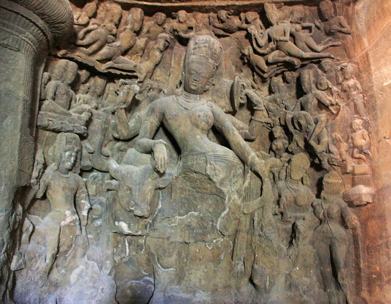
Elephanta Caves is a group of rock-cut temples on Gharapuri Island, chiefly associated with Shiva. Visitors come to see its carved panels and monumental images, recognised by UNESCO as a World Heritage Site.

Powai Lake

26 km away · Mumbai Suburban district

Powai Lake

An artificial lake in Mumbai’s Powai suburb, Powai Lake is a popular local attraction, with major educational institutions and urban neighbourhoods nearby.

Chhatrapati Shivaji Terminus

29 km away · Mumbai City district

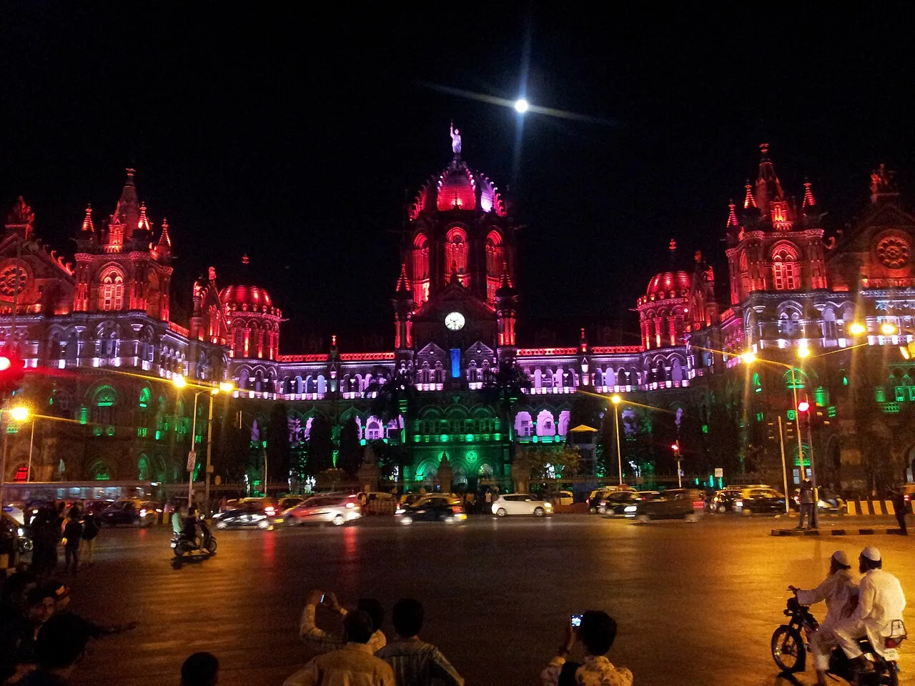
Chhatrapati Shivaji Terminus

Chhatrapati Shivaji Maharaj Terminus is a Mumbai railway hub and UNESCO World Heritage Site, visited for its Indo Gothic architecture and its place in the city’s railway history.

Chhatrapati Shivaji Maharaj Vastu Sangrahalaya

30 km away · Mumbai City district

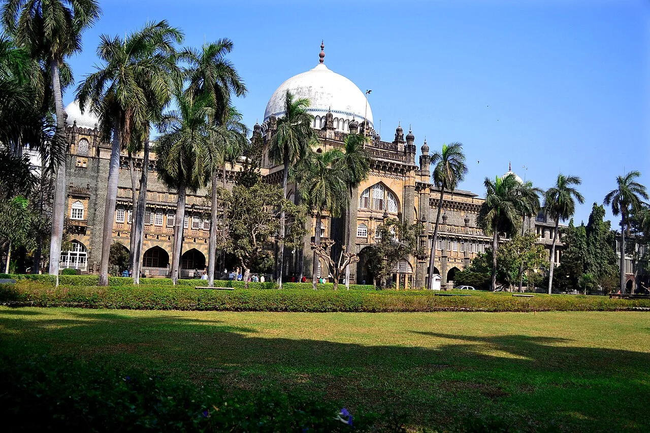
Chhatrapati Shivaji Maharaj Vastu Sangrahalaya

This Mumbai museum presents India’s history from prehistoric times to the modern era. Visitors explore collections spanning art, archaeology and natural history, including Indian artefacts and objects from abroad.

Gateway of India

30 km away · Mumbai City district

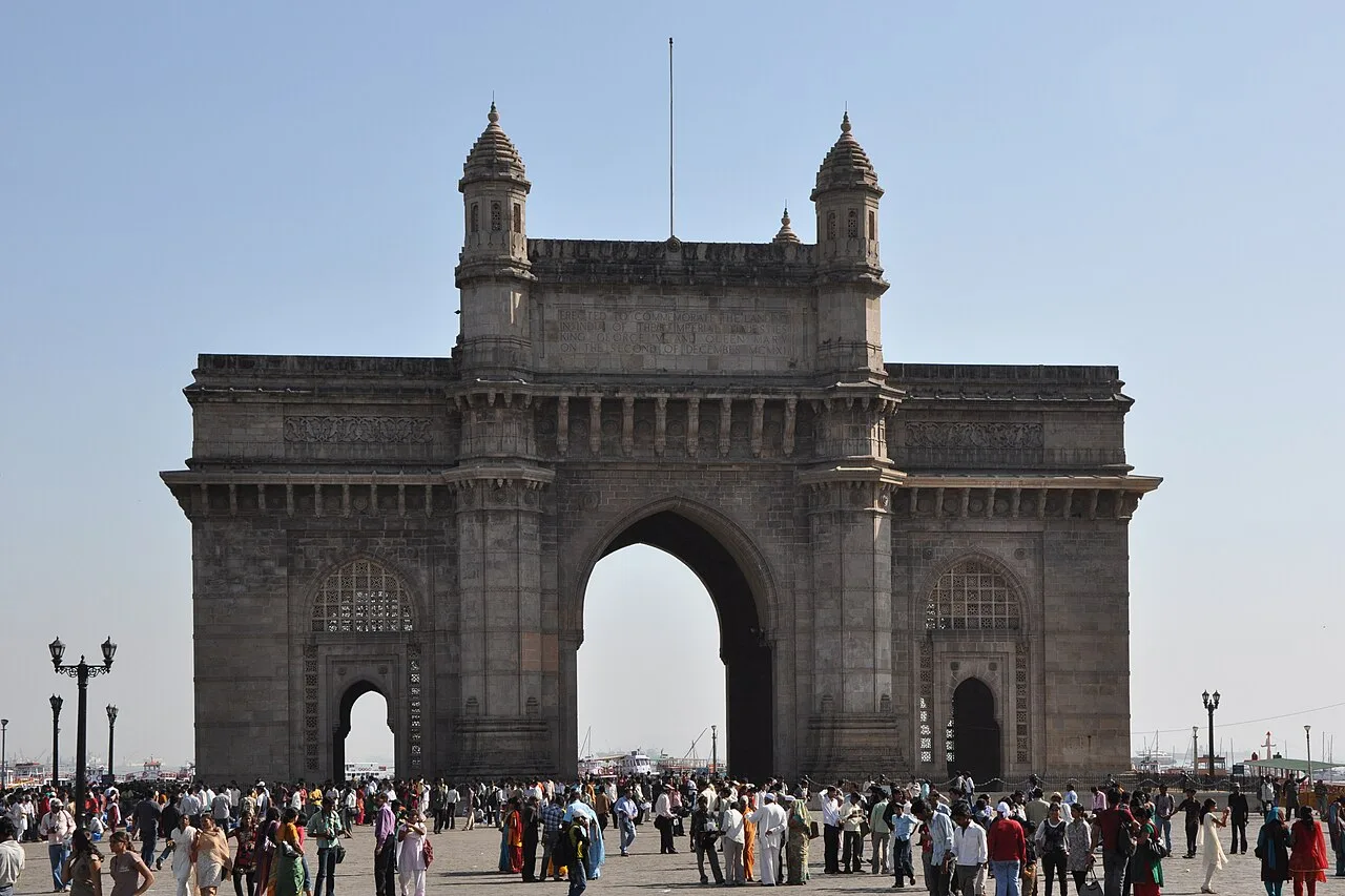
Gateway of India

The Gateway of India is a basalt arch in Mumbai, built to mark King George V’s 1911 arrival. Visitors come to see its architecture, waterfront setting and place in the city’s history.

Siddhivinayak Temple

30 km away · Mumbai City district

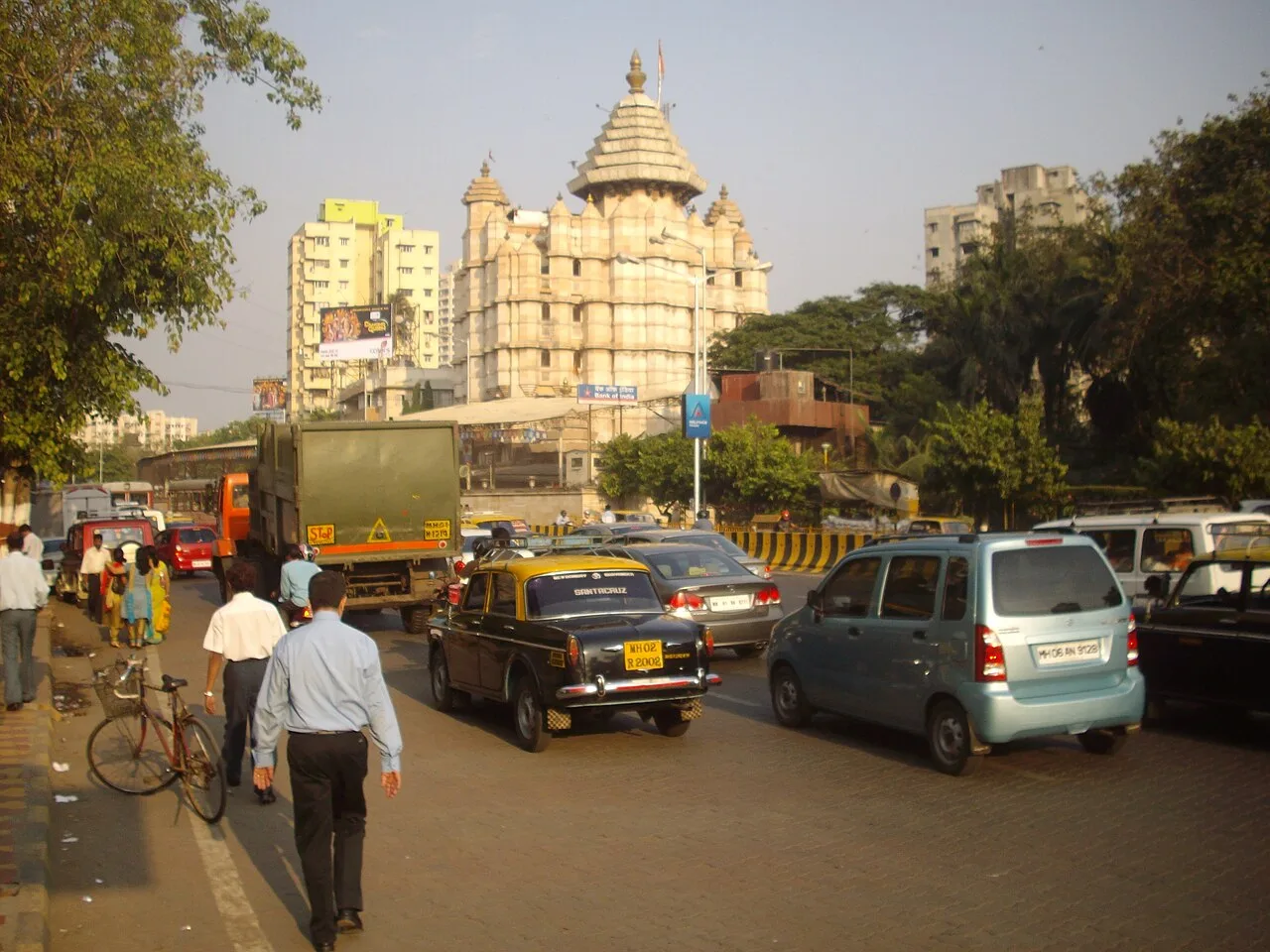
Siddhivinayak Temple

Shri Siddhivinayak Ganapati Mandir is a Hindu temple in Mumbai’s Prabhadevi neighbourhood, centred on Ganesha. People visit to worship at the Siddhi Vinayak shrine, whose name is associated with granting wishes.

Basilica of Our Lady of the Mount

31 km away · Mumbai Suburban district

Basilica of Our Lady of the Mount

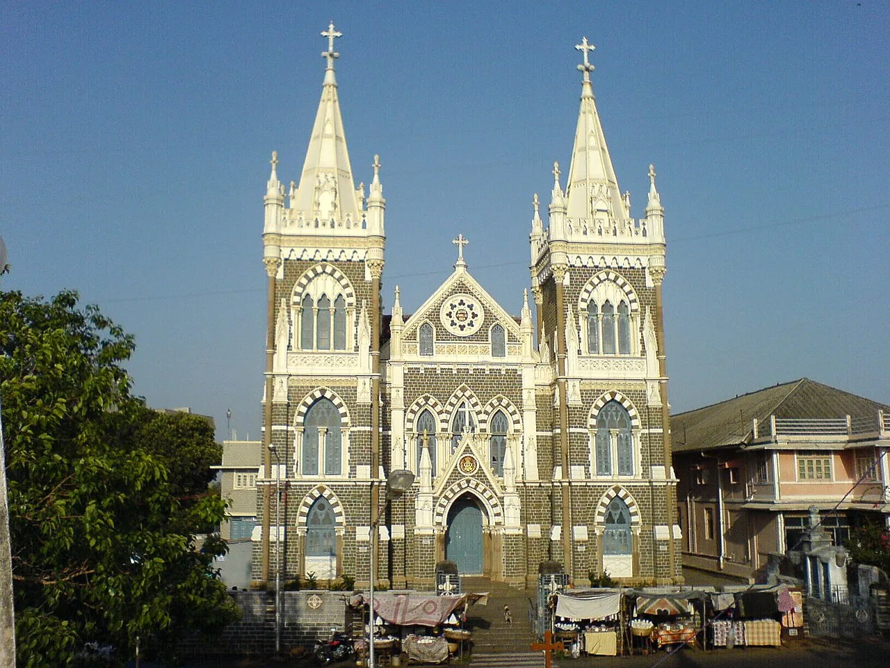
A Roman Catholic basilica and shrine in Mumbai’s Bandra neighbourhood, it draws visitors for the annual Marian feast and fair, as well as people hoping their mannat, or wish, will be fulfilled.

Map

Panvel on the map

  1. 1Matheran
  2. 2Elephanta Caves
  3. 3Powai Lake
  4. 4Chhatrapati Shivaji Terminus
  5. 5Chhatrapati Shivaji Maharaj Vastu Sangrahalaya
  6. 6Gateway of India
  7. 7Siddhivinayak Temple
  8. 8Basilica of Our Lady of the Mount

Maharashtra

Other cities to explore