Ghumoopedia — Explore, Discover, Experience
Sign in

City guide · Madhya Pradesh

Ashta

Ashta is a municipality in Sehore district, set in the Malwa region of western Madhya Pradesh. Its position on the Bhopal–Indore road gives it a practical role as a local service and trading centre for surrounding villages.

Famous for

  • Parvati River
  • Riverside Shiva temple
  • Soybean and wheat mandi
  • Mirza Amjad Baig's legacy

Why Ashta matters

Ashta is a municipality in Sehore district, set in the Malwa region of western Madhya Pradesh. Its position on the Bhopal–Indore road gives it a practical role as a local service and trading centre for surrounding villages. The town’s grain market is an important part of its regional economy, especially for soybean and wheat, while schools, hospitals and road transport serve both residents and nearby rural communities.

The Parvati River runs through the city and is closely connected with local life and worship. A Shiva temple stands near its bank; local tradition associates it with great antiquity, though its age is not firmly established. During Sawan, the monsoon month, people recount that the rising river reaches the temple’s Shivling. This riverside setting and seasonal belief offer visitors a glimpse of Ashta’s devotional traditions. Ashta is not primarily a large sightseeing destination, but it can interest travellers exploring the Sehore–Malwa region, its market towns and local religious life.
Famous for: crafts, trade & products

Ashta is best known commercially for its grain mandi, where soybean and wheat are prominent products. The market reflects the agricultural economy of the town and its surrounding villages, and is the most useful place to observe local trade. Buyers seeking these commodities should enquire locally about current market activity and retail options, as availability and trading arrangements can vary by season.

There is no well-documented signature textile, handicraft or GI-tagged product associated specifically with Ashta. Nor is it widely identified as a centre for a particular large-scale industry. Visitors looking for locally made goods can ask in the central market, but should not expect a dedicated craft district or specialist souvenir trade. The city’s better-known points of interest are its everyday commerce and its riverside Shiva temple rather than a named product tradition. For a broader range of regional shopping and institutions, travellers can look to larger nearby centres such as Sehore, Dewas or Bhopal. Ashta’s mandi and local shops remain the clearest places to understand what the town produces, sells and supplies to its rural hinterland.

History

Ashta’s modern development is associated with Mirza Amjad Baig, who ruled the area during the British India period and is regarded locally as a founder of the present-day town. Accounts of his legacy credit him with bringing transport connections to Ashta and establishing educational opportunities for both men and women. These changes helped the settlement grow as a centre serving nearby villages.

The town’s later development has been shaped by its position on the Bhopal–Indore road, linking it with Sehore and Dewas and supporting movement of people and agricultural goods. Its grain mandi, schools, health facilities and road services reflect this regional role. Ashta is now a municipality in Sehore district, while the surrounding administrative block includes many rural villages. The Parvati River and the Shiva temple beside it remain important features of local identity, connecting the town’s present-day life with religious traditions whose histories are preserved chiefly through local belief rather than firmly documented dates.

Food, festivals & culture

Ashta’s cultural life is shaped by the Hindu calendar and the town’s riverside Shiva temple. Sawan, during the monsoon, is especially associated with Shiva worship and local stories about the Parvati River rising toward the temple’s Shivling. Diwali, Holi and Navratri are also commonly observed in the region, with household worship, community gatherings and seasonal festivities. The scale and customs of celebrations can vary from neighbourhood to neighbourhood.

Hindi is widely used, and Malwi, the regional language of the Malwa area, is also spoken. The town shares broader Malwa food traditions: everyday meals may include wheat-based breads and lentils, while poha and jalebi are familiar regional breakfast or snack choices. These are regional favourites rather than dishes unique to Ashta. Malwi folk singing and dance belong to the wider cultural landscape and may feature at local celebrations, though performances are occasion-dependent. The Parvati-side Shiva temple is the clearest place to encounter the town’s devotional character; local markets and public gatherings offer a view of everyday community life.

Visiting the city

October to March is generally the most comfortable period to visit, with cooler, drier weather. The monsoon brings greener surroundings, but heavy rain can raise river levels. Bhopal’s Raja Bhoj Airport is the nearest major airport. Ashta has no major railway station of its own; Sehore railway station is a nearby rail option, while Bhopal Junction has broader connections.

The town lies on the Bhopal–Indore road, which also passes through Sehore and Dewas, and daily bus services connect Ashta with other places. Local transport can be arranged for short journeys. Visitors can explore the central market and grain mandi, then visit the Shiva temple beside the Parvati River. Ashta is compact enough for a brief stop, while Sehore and the wider Malwa region make useful bases for a longer itinerary.

Trips from the city

Nearest places to visit from Ashta

Our closest destination guides, by straight-line distance.

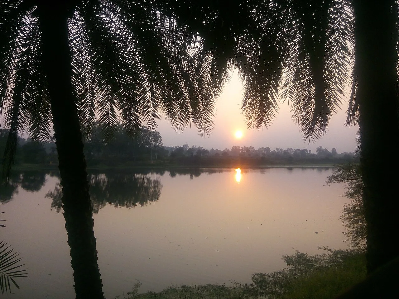
Bhoj Wetland, Bhopal

68 km away · Sehore district

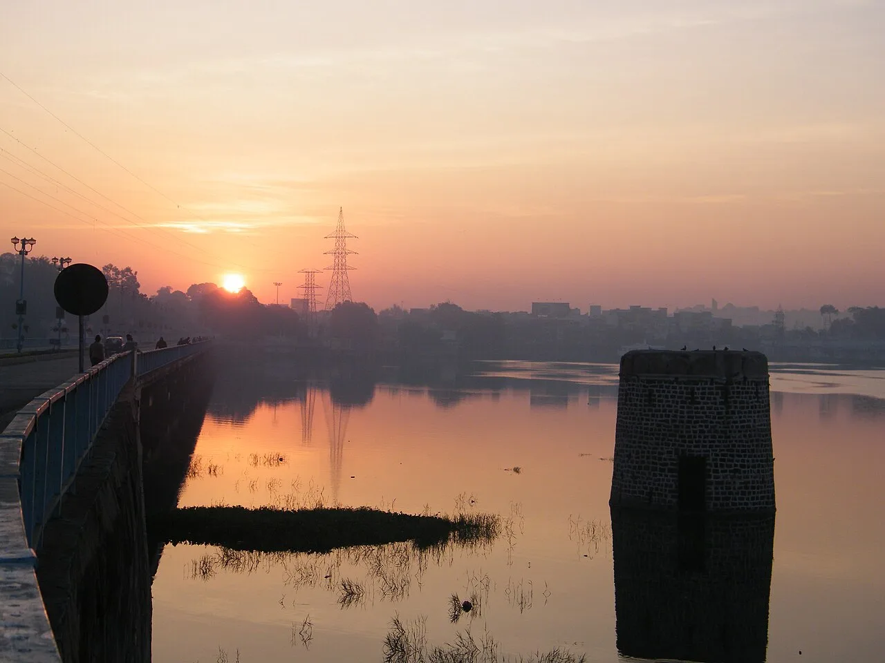
Bhoj Wetland, Bhopal

Bhoj Wetland is a two-lake complex in Bhopal, Madhya Pradesh. Visitors are drawn to its wetland habitats, varied wildlife and waterbirds.

Bhojtal

68 km away · Bhopal district

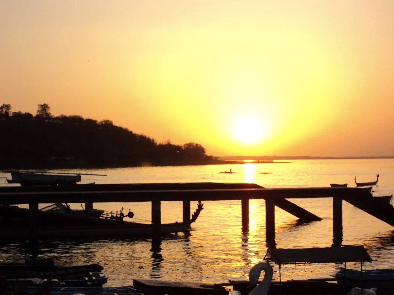
Bhojtal

Bhojtal, also called Upper Lake, is a large lake on Bhopal’s western side. Visitors can see it as part of the Bhoj Wetland, formed with nearby Lower Lake and designated a Ramsar site.

Van Vihar National Park

70 km away · Bhopal district

Van Vihar National Park

Van Vihar is a national park and zoological facility in Bhopal, visited for its animal habitats and a road that runs through the grounds.

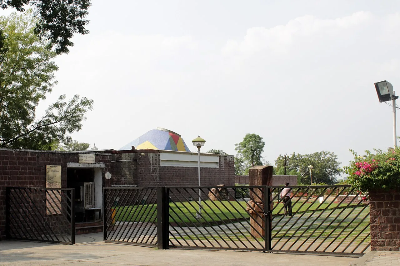
Bharat Bhavan

73 km away · Bhopal district

Bharat Bhavan

Bharat Bhavan is a government-established arts centre and museum in Bhopal, designed by Charles Correa. Visitors can explore its galleries, creative workshops, performance spaces and cultural collections.

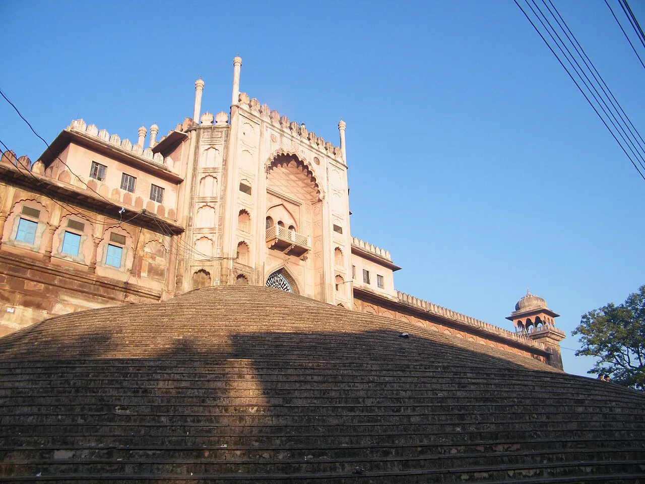
Taj-ul-Masajid

74 km away · Bhopal district

Taj-ul-Masajid

Taj-ul-Masajid is a Sunni mosque in Bhopal, Madhya Pradesh, associated with Tablighi Jamaat and the Deobandi movement. People visit for prayer and to see one of India’s largest mosques.

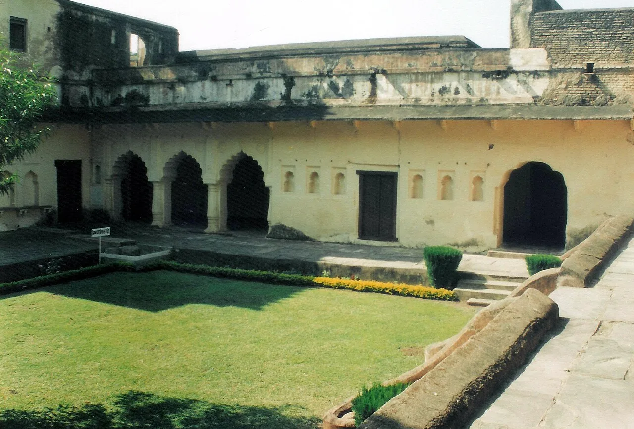
Islamnagar

80 km away · Bhopal district

Islamnagar

Islamnagar, officially Jagdishpur since February 2023, is a panchayat village in Bhopal district, Madhya Pradesh, visited for the ruined palaces built by Bhopal’s founder.

Bhojpur

90 km away · Raisen district

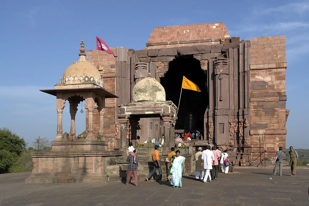
Bhojpur

Bhojpur, in Raisen district, Madhya Pradesh, is known for its historical and religious significance, attracting interest from people drawn to these aspects.

Bhimbetka Rock Shelters

92 km away · Raisen district

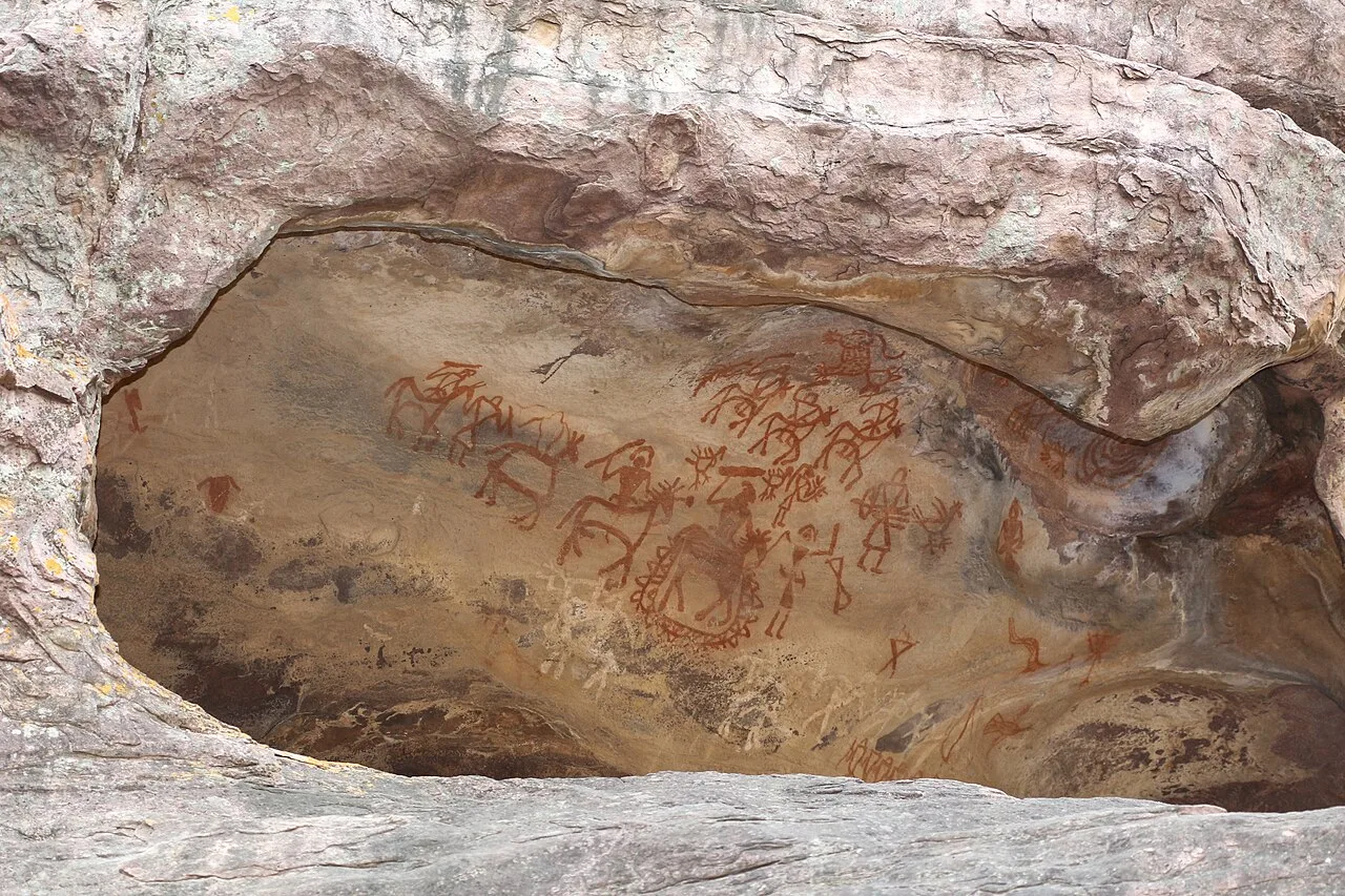
Bhimbetka Rock Shelters

Bhimbetka is a prehistoric archaeological landscape in Madhya Pradesh, known for ancient shelters and rock art. Visitors can explore evidence of human life, cultural change and artistic expression across millennia.

Map

Ashta on the map

  1. 1Bhoj Wetland, Bhopal
  2. 2Bhojtal
  3. 3Van Vihar National Park
  4. 4Bharat Bhavan
  5. 5Taj-ul-Masajid
  6. 6Islamnagar
  7. 7Bhojpur
  8. 8Bhimbetka Rock Shelters

Madhya Pradesh

Other cities to explore