Ghumoopedia — Explore, Discover, Experience
Sign in
Bagh Caves, near Barwani

City guide · Madhya Pradesh

Barwani

Barwani is the administrative centre of Barwani district in western Madhya Pradesh and a gateway to the West Nimar region. Near the Narmada River and surrounded by the Satpura hills, it combines the character of a working district town with access to important religious and rural destinations.

Famous for

  • Bawangaja Jain pilgrimage
  • Narmada River
  • West Nimar heritage
  • Barwani papayas
  • Former princely state

Why Barwani matters

Barwani is the administrative centre of Barwani district in western Madhya Pradesh and a gateway to the West Nimar region. Near the Narmada River and surrounded by the Satpura hills, it combines the character of a working district town with access to important religious and rural destinations. The nearby Jain pilgrimage site of Bawangaja, known for its monumental statue carved into the hillside, is one of the area's principal draws. The river and surrounding countryside add opportunities for scenic excursions, especially in the cooler months.

The town is also associated with the former princely state of Barwani and with the wider Nimar cultural region. Local markets serve residents and visitors from surrounding towns and villages, while the district is noted for papaya cultivation. Barwani is sometimes called the “Paris of Nimar,” a regional nickname rather than a description of its size or character. It is a useful base for exploring nearby religious sites and the landscapes of western Madhya Pradesh, though visitors should plan to travel by road: the town has no direct rail connection or airport.
Famous for: crafts, trade & products

Barwani is best known locally for papayas and other produce from the surrounding agricultural belt. Its central markets cater mainly to the district and nearby villages, with everyday groceries, produce and household goods rather than a nationally recognised specialty bazaar. Visitors can look for seasonal fruit and regional foods in the town’s market streets, but availability varies with harvests.

The city is not widely established as a centre for a particular textile, saree tradition, handicraft or GI-tagged product. Its stronger draw is its regional role: Barwani is the district headquarters and a service and trading centre for West Nimar. For a distinctive cultural excursion, Bawangaja, a Jain pilgrimage complex about 8 km away, is better known than any city craft market. Shops in town provide practical supplies for visiting the site and surrounding area. Barwani’s identity is therefore tied more closely to its agricultural hinterland, Narmada-region setting and nearby religious heritage than to a specialised manufacturing industry.

History

Barwani grew as a settlement in the Nimar region, near the Narmada and amid hills and forests. A traditional explanation of its name joins “Bad,” associated with the banyan tree, and “Wani,” meaning garden; the town’s name is commonly pronounced Badwani. It became the capital of the former princely state of Barwani, ruled by a line of Rajput rulers with the title Rana. Its position gave it a role in local administration and exchange across the surrounding countryside.

During the colonial period, Barwani remained a princely state under British paramountcy rather than becoming a directly administered British district. Following Indian independence, the state joined the Indian Union and its territory became part of Madhya Pradesh. The town’s modern importance rests on its role as the headquarters of Barwani district, serving government, commerce, education and transport needs across West Nimar. Road connections have shaped its development, while the absence of a direct railway has kept road travel central to access.

Food, festivals & culture

Barwani’s everyday culture reflects the languages and traditions of western Nimar and nearby tribal communities. Hindi is widely used, alongside regional speech such as Nimadi and Bhili or Bhilali in the wider area. Meals draw on the broader Madhya Pradesh and Malwa-Nimar kitchens: wheat-based breads, lentils, seasonal vegetables and snacks are common, while poha and sweets can be found in local eateries. Papaya is a notable local crop, though it is not a single defining festival food.

Holi, Diwali, Navratri and other Hindu festivals are observed in town; Eid and other community celebrations are also part of its religious life. In the surrounding tribal belt, Bhagoria gatherings and fairs are associated with the weeks before Holi. Jain worship is especially visible at nearby Bawangaja, an important pilgrimage destination. Temples, mosques and local shrines serve residents, while devotional singing and regional folk performance are part of the wider Nimar cultural landscape. Festival events and performances vary by year and locality.

Visiting the city

The most comfortable time to visit is generally October to February, when days are milder. Summer can be very hot, while the monsoon brings greener scenery but may affect road journeys. Barwani is reached by road; the nearest major airport is Devi Ahilya Bai Holkar Airport in Indore. There is no railway station in town. Indore is a principal rail gateway, while Khandwa is another rail option at a longer road distance.

Buses and private vehicles connect Barwani with Indore, Khargone, Dhar and other regional centres. Within town, local vehicles and taxis can help with short trips; arrange road transport for Bawangaja, about 8 km away, and other excursions. Explore the central town and market streets for everyday local life, then visit the Narmada-side area near Rajghat Road. Barwani works best as a practical base for nearby sites rather than as a large sightseeing district in itself.

Trips from the city

Nearest places to visit from Barwani

Our closest destination guides, by straight-line distance.

Bagh Caves

34 km away · Dhar district

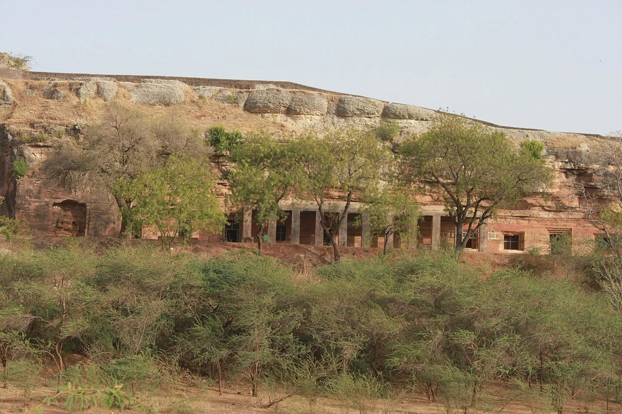
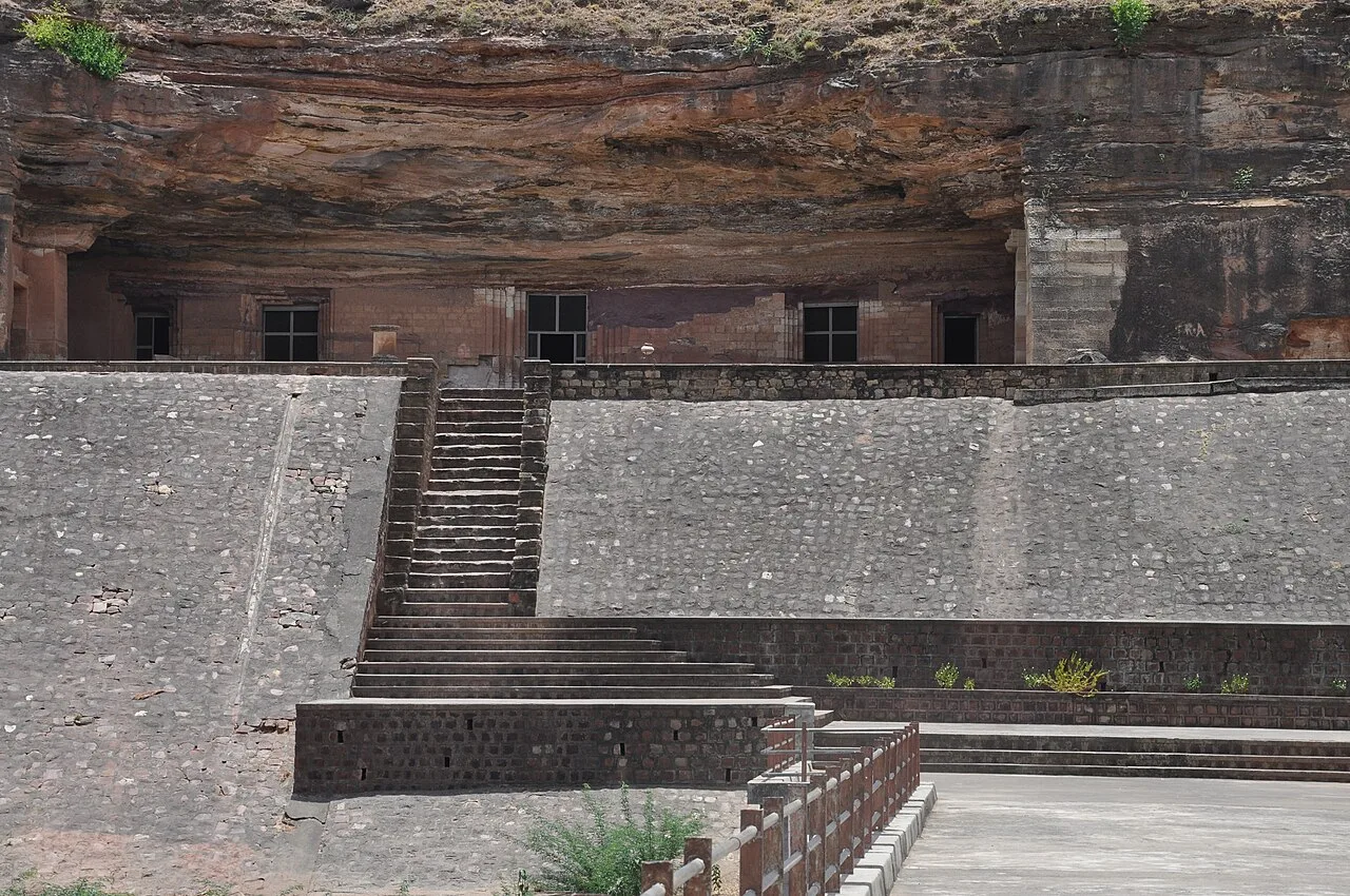
Bagh Caves

The Bagh Caves are Buddhist rock-cut monuments in Madhya Pradesh, known for their murals and monastic layouts. Visitors explore the surviving caves, including the painted Cave 4, called Rang Mahal.

Bagh (Bagh Print Village)

40 km away · Dhar district

Bagh (Bagh Print Village)

In Madhya Pradesh’s Dhar district, Bagh is a settlement associated with the Bagh Caves, whose Buddhist rock-cut chambers and murals attract visitors.

Maheshwar Ghats

47 km away · Maheshwar district

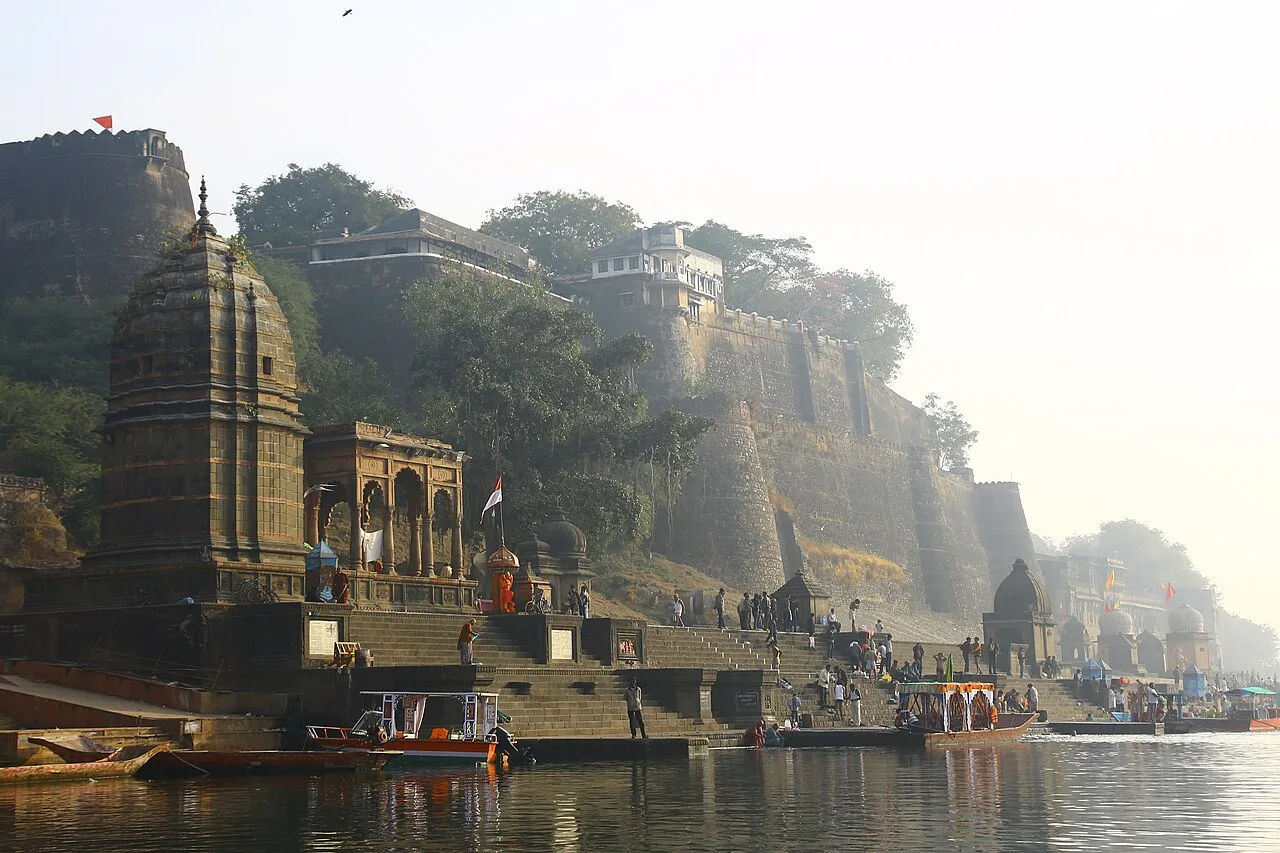
Maheshwar Ghats

Maheshwar Ghats are riverfront steps in a historic town on the Narmada in Madhya Pradesh. Visitors come to see the ghats and learn about Maheshwar’s past as a capital under the Holkars.

Hindola Mahal, Mandu

62 km away · Dhar district

Hindola Mahal, Mandu

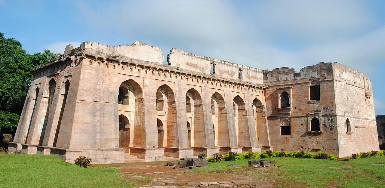
Hindola Mahal is a large assembly hall in Mandu, Madhya Pradesh. Visitors go to see it as a historic structure within the remains of the old city.

Mandu

63 km away · Dhar district

Mandu

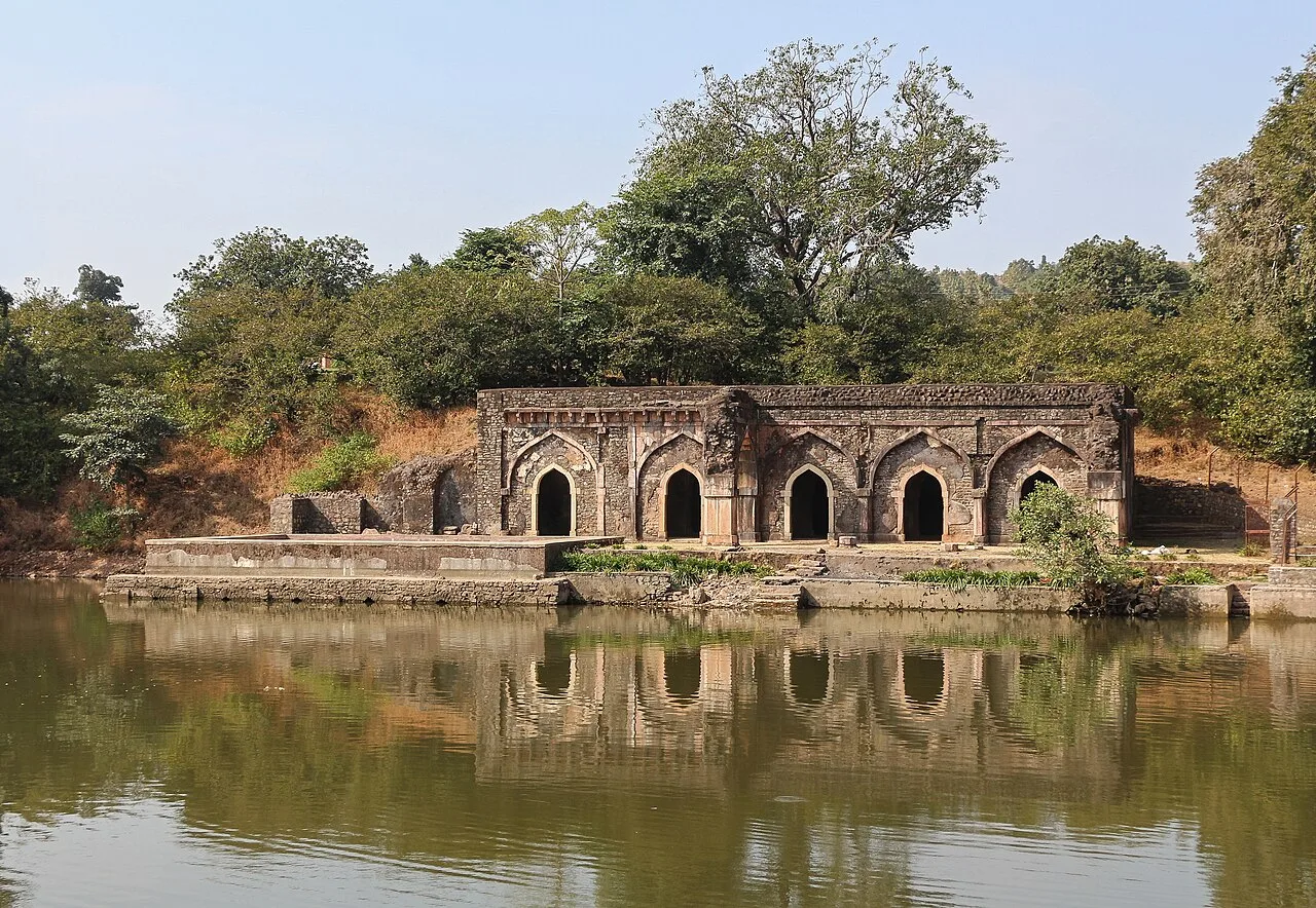
Mandu, also known as Mandavgad, is an ancient settlement in Madhya Pradesh’s Dhar district. Visitors are drawn to its fortress setting and notable architecture.

Navdatoli Archaeological Site

72 km away · Khargone district

Navdatoli Archaeological Site

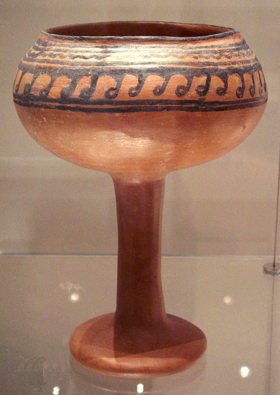
Navdatoli is both a present-day village and a Chalcolithic settlement on the Narmada in Madhya Pradesh. Visitors explore its archaeological history and the pottery associated with its successive phases.

Bhojshala

74 km away · Dhar district

Bhojshala

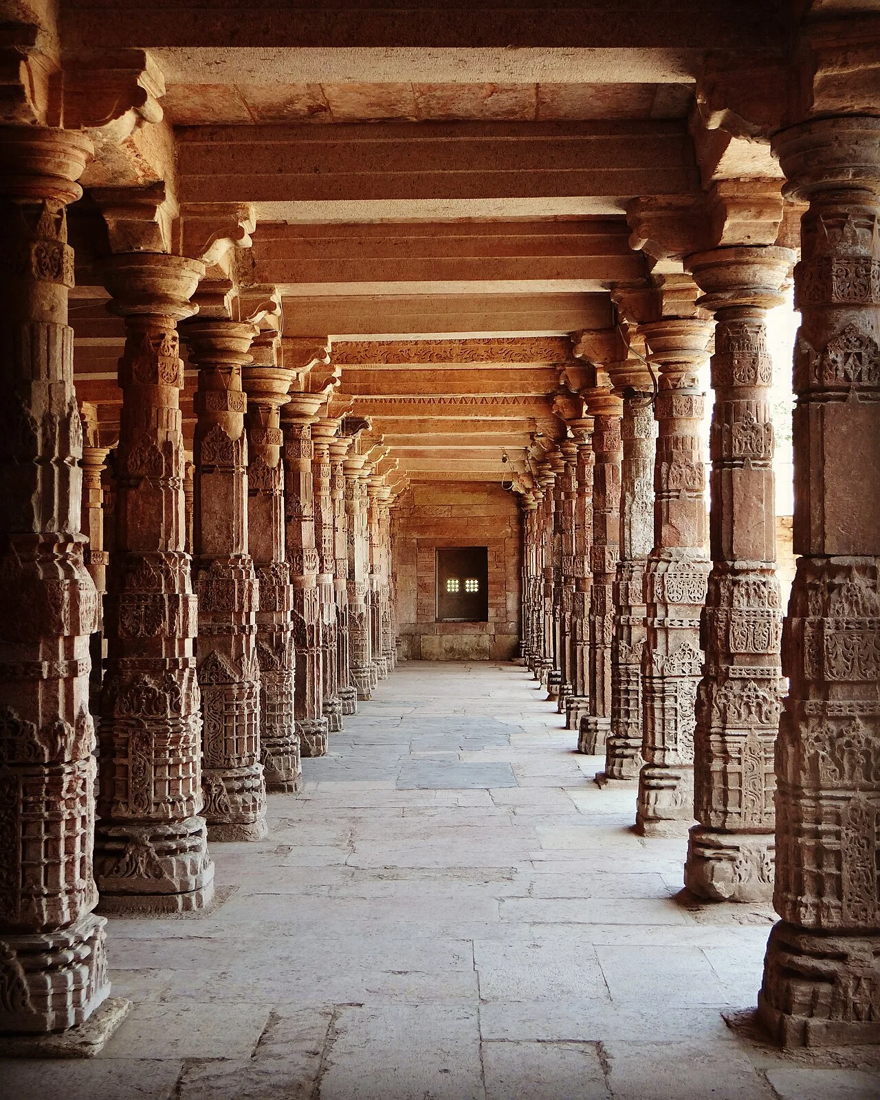
Bhojshala is a historic complex in Dhar, Madhya Pradesh, associated with Sanskrit learning under the Paramāras. Visitors come to see its architecture, inscriptions and archaeological remains, as well as its layered religious history.

Rajwada

124 km away · Indore district

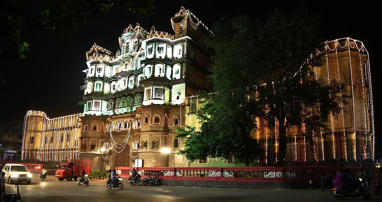
Rajwada

Rajwada is a historic, seven-storey Holkar residence in Indore. Visitors come for its period architecture, dynastic history and the garden with fountains and a waterfall.

Map

Barwani on the map

  1. 1Bagh Caves
  2. 2Bagh (Bagh Print Village)
  3. 3Maheshwar Ghats
  4. 4Hindola Mahal, Mandu
  5. 5Mandu
  6. 6Navdatoli Archaeological Site
  7. 7Bhojshala
  8. 8Rajwada

Madhya Pradesh

Other cities to explore