Ghumoopedia — Explore, Discover, Experience
Sign in
Hanuwantiya Island, near Harda

City guide · Madhya Pradesh

Harda

Harda is the administrative centre of Harda district and a service and trading hub for the surrounding agricultural region of central Madhya Pradesh. Its setting in the fertile Bhuana area has long connected the town with farming and grain commerce; today, district offices, shops, schools and transport links serve residents from nearby settlements as well as the city itself.

Famous for

  • Harda district headquarters
  • Fertile agricultural hinterland
  • Bhuani-speaking Bhuana region
  • Historic Harda-Handia tract
  • Regional grain trade

Why Harda matters

Harda is the administrative centre of Harda district and a service and trading hub for the surrounding agricultural region of central Madhya Pradesh. Its setting in the fertile Bhuana area has long connected the town with farming and grain commerce; today, district offices, shops, schools and transport links serve residents from nearby settlements as well as the city itself.

For visitors, Harda offers a quieter, everyday view of a regional Madhya Pradesh town rather than a major monument circuit. Its appeal lies in the layered history of the Harda-Handia tract, local markets and access to the wider district. Handia, an old settlement associated with the area’s history and with worship along the Narmada, can add a cultural excursion to a stay. Harda is also known for Bhuani, a local speech shaped by the region’s Malwa and Nimar connections. Agriculture remains central to its identity, while the railway and road links make it a practical base for exploring nearby towns and countryside.
Famous for: crafts, trade & products

Harda is best understood as an agricultural market town rather than a centre for a nationally recognised textile, handicraft or GI-tagged product. The productive countryside around the city supports crop cultivation and trade, and grain markets are an important part of local commerce. Seasonal produce and everyday provisions are most readily encountered in the town’s general bazaar and market areas; activity and availability vary with harvest cycles.

The city does not have a widely documented signature saree, craft district or specialist shopping quarter to seek out. Visitors looking for locally made goods can browse ordinary shops and ask traders about products from nearby villages, but should not expect a formal craft market. Government and administrative offices, retailers and agricultural businesses reflect Harda’s role as the district headquarters. For a sense of the town’s working life, the market streets are more representative than a tourist-oriented shopping precinct. Handia and other district settlements have their own local traditions, but they are separate destinations rather than products or institutions based in Harda city.

History

Harda was once a mahal within the Mughal-era Handia sarkar. Maratha forces led by Peshwa Balaji Baji Rao took the area in 1742, and Harda grew in importance as the local Maratha amil made it his residence. It later formed part of Scindia territory. Yashwantrao Holkar sacked the town in 1801, and the wider region also faced attacks by Pindaris and Korku groups.

During the Third Anglo-Maratha War, Harda became a headquarters for John Malcolm’s division. Although Scindia retained the Harda-Handia tract after the war, the territory was ceded to the British in 1844, with the transfer completed in 1860. The town experienced unrest during the 1857 uprising. Harda’s municipal body was established in 1867, and a tehsil followed in 1913. Railway connections later supported growth. In the independence movement, people from the region took part in political activity, including during the Quit India period. Harda is now the district’s administrative centre.

Food, festivals & culture

Everyday food in Harda reflects the broader central Indian home kitchen: wheat-based rotis, rice, seasonal vegetables, lentils and familiar snacks. Sweets and savoury items are sold by local bakeries and sweet shops, though the city is not especially associated with a single signature dish. Market streets are a good place to sample ordinary tea-time snacks and see what is in season.

Hindi is widely used, alongside Bhuani, a local dialect with Malwa and Nimar influences; Urdu is also part of the area’s linguistic mix. Diwali and Holi bring family gatherings and public celebrations, while Navratri, usually in autumn, and Ganesh festivities are marked by worship and community events. Eid is observed by Muslim residents. Temples and mosques serve neighbourhood communities, and religious visits in the wider district include places around Handia and the Narmada. Folk music and dance belong to regional celebrations, though performances are generally tied to local occasions rather than a regular visitor programme.

Visiting the city

The cooler months, roughly from October to March, are generally the most comfortable time to visit; summer can be very hot, and the monsoon brings rainfall. The nearest major airport is Raja Bhoj Airport in Bhopal. Harda Railway Station is the main rail stop for the city and lies on the Itarsi–Khandwa rail corridor.

Auto-rickshaws and local vehicles are useful for getting around town, while taxis or hired vehicles offer more flexibility for trips beyond it. Start with the central bazaar and older town streets for shops and everyday city life, then explore the station area and local places of worship. Handia and the Narmada-side sites in the district make possible excursions, but check local transport arrangements before setting out. Harda works best as a relaxed regional stop rather than a destination with a concentrated tourist district.

Trips from the city

Nearest places to visit from Harda

Our closest destination guides, by straight-line distance.

Hanuwantiya Island

57 km away · Khandwa district

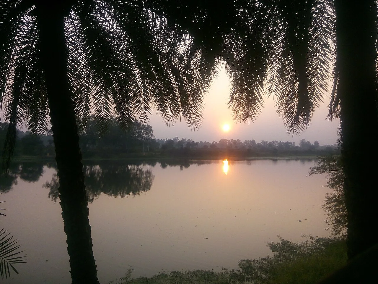
Hanuwantiya Island

Hanuwantiya Island is a tourism destination in Khandwa district, Madhya Pradesh. Visitors come to the island, which the state tourism corporation developed as a hub for tourism.

Sethani Ghat, Narmadapuram

79 km away · Hoshangabad district

Sethani Ghat, Narmadapuram

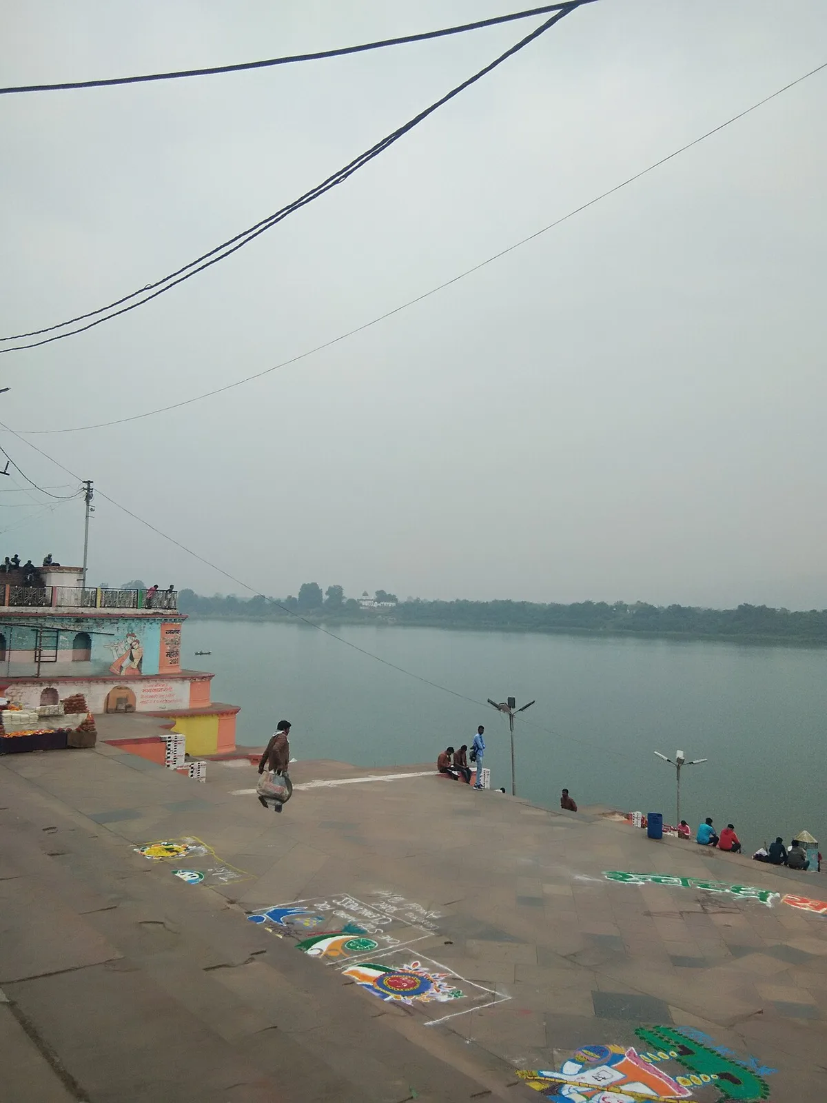
Sethani Ghat is a nineteenth-century riverfront structure at Narmadapuram, Madhya Pradesh. People visit for its scale and for Narmada Jayanti, when devotees gather and float lamps on the river.

Bhimbetka Rock Shelters

85 km away · Raisen district

Bhimbetka Rock Shelters

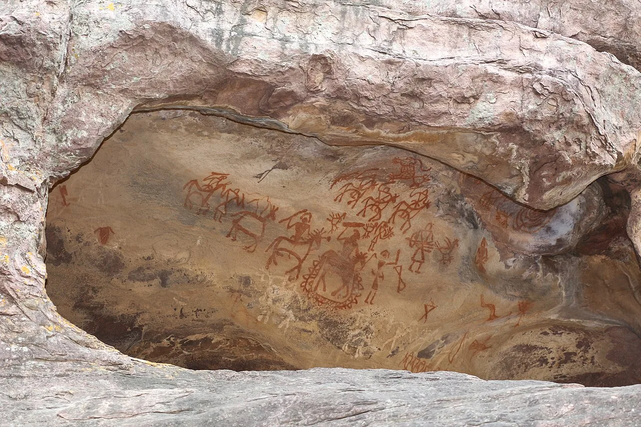
Bhimbetka is a prehistoric archaeological landscape in Madhya Pradesh, known for ancient shelters and rock art. Visitors can explore evidence of human life, cultural change and artistic expression across millennia.

94 km away · Narmadapuram district

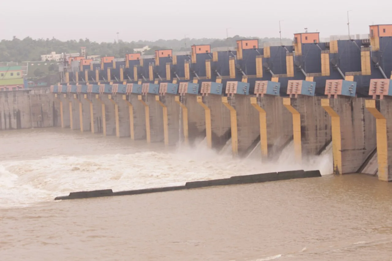
Tawa Dam

Tawa Dam is an irrigation structure in Madhya Pradesh that created a reservoir on the Tawa River; visitors are drawn there particularly during the monsoon season.

Omkareshwar Dam

97 km away · Khandwa district

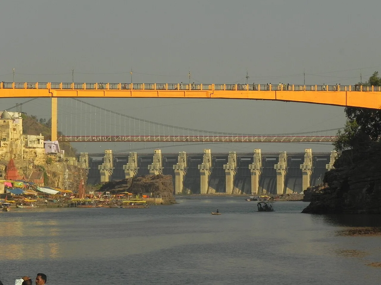
Omkareshwar Dam

Omkareshwar Dam is a gravity dam on the Narmada in Madhya Pradesh, upstream of Mandhata. Visitors can view the structure and its associated hydroelectric station, built alongside an irrigation project.

Omkareshwar Temple

98 km away · Omkareshwar district

Omkareshwar Temple

Omkareshwar is a Shiva shrine on Mandhata island in Madhya Pradesh, revered as one of the twelve Jyotirlingas. Pilgrims visit its two associated sanctuaries.

Bhojpur

100 km away · Raisen district

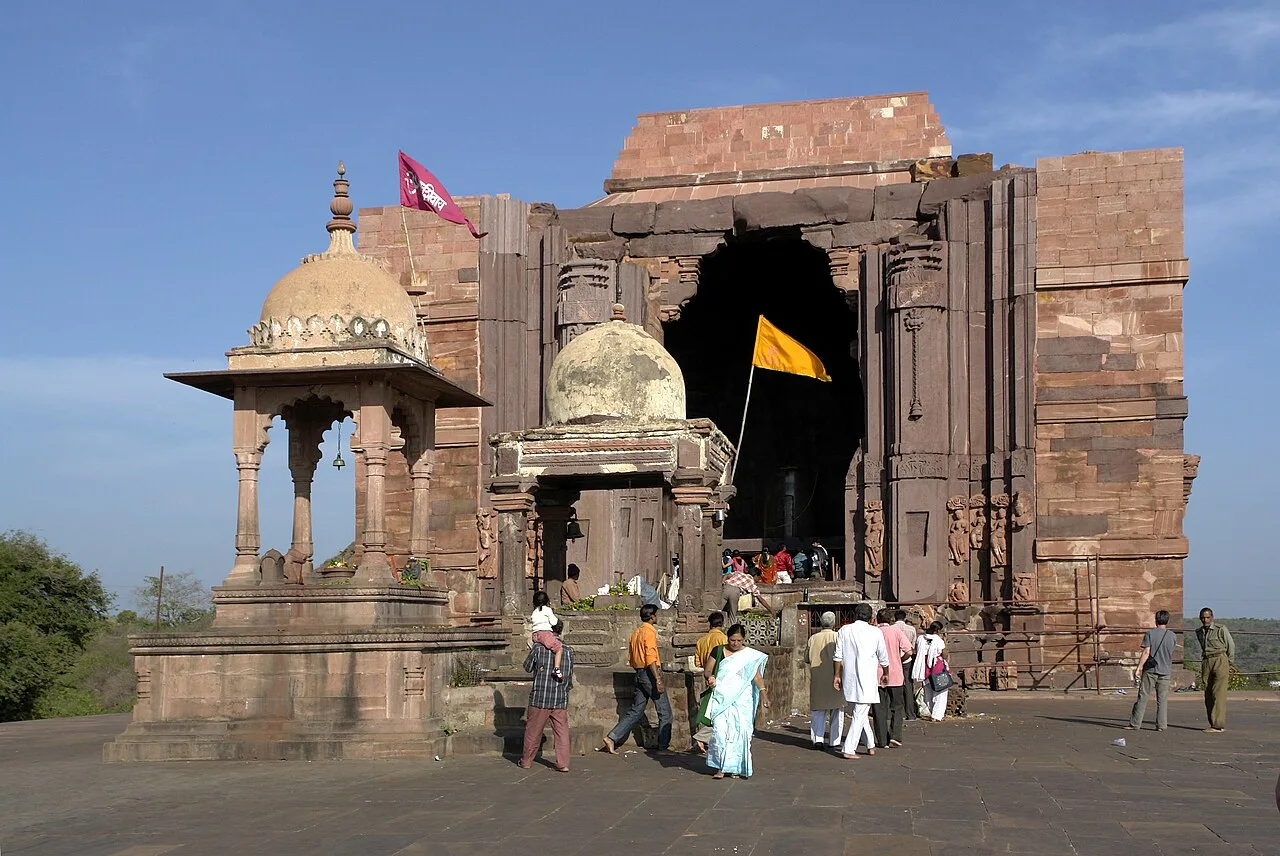
Bhojpur

Bhojpur, in Raisen district, Madhya Pradesh, is known for its historical and religious significance, attracting interest from people drawn to these aspects.

Van Vihar National Park

102 km away · Bhopal district

Van Vihar National Park

Van Vihar is a national park and zoological facility in Bhopal, visited for its animal habitats and a road that runs through the grounds.

Map

Harda on the map

  1. 1Hanuwantiya Island
  2. 2Sethani Ghat, Narmadapuram
  3. 3Bhimbetka Rock Shelters
  4. 4Tawa Dam
  5. 5Omkareshwar Dam
  6. 6Omkareshwar Temple
  7. 7Bhojpur
  8. 8Van Vihar National Park

Madhya Pradesh

Other cities to explore