Ghumoopedia — Explore, Discover, Experience
Sign in
Gokak Falls, near Raybag

City guide · Karnataka

Raybag

Raybag is a small taluka centre in Belagavi district, northwestern Karnataka, serving the farming communities and villages around it. Its local economy and everyday life are closely tied to agriculture, particularly the cultivation of sugarcane and bananas.

Famous for

  • Banana cultivation
  • Sugarcane farming
  • Raybag railway station
  • Kannada–Marathi borderland
  • Agricultural trade

Why Raybag matters

Raybag is a small taluka centre in Belagavi district, northwestern Karnataka, serving the farming communities and villages around it. Its local economy and everyday life are closely tied to agriculture, particularly the cultivation of sugarcane and bananas. Produce from the surrounding countryside also gives the town a practical role as a place for local trade and services.

Raybag is better known for this regional character than for a large collection of visitor attractions. Travellers may find interest in its railway station, its busy town centre and the agricultural landscape beyond the built-up area. Its position in a Kannada-speaking part of Karnataka, near the Maharashtra border, gives the wider area a mix of regional influences; Kannada and Marathi are both part of local communication. The town’s name is commonly interpreted from “Rai” and “bagh” as “the king’s garden.” For visitors passing through northern Karnataka, Raybag offers a modest, everyday view of a farming taluka rather than a resort or monument-focused destination.
Famous for: crafts, trade & products

Raybag’s best-known products are agricultural: sugarcane and bananas are grown in the surrounding area and feature in local commerce. The town’s shops and everyday markets are the most practical places to look for seasonal produce and household goods. Buying directly from growers may be possible in the surrounding villages, depending on the season, but arrangements vary.

Raybag is not widely identified with a particular textile, handicraft, GI-tagged product or specialist food industry. Nor is there a well-established tourist craft market to seek out. Its character is more closely connected to farming and the trade that supports nearby rural settlements. Sugarcane is an important crop in the wider regional economy, though processing facilities and their visitor access should not be assumed to be in the town itself. Visitors interested in local production can ask in town about current harvests and nearby agricultural activity. The railway station is another recognisable local institution, reflecting Raybag’s role as a transport point for residents and the surrounding countryside.

History

Raybag’s name is often explained through the words “Rai,” meaning king, and “bagh,” meaning garden, suggesting “the king’s garden.” This interpretation points to an older association with the region’s agrarian landscape, but detailed accounts of the town’s early history are limited. The wider Belagavi region has seen changing political boundaries and administrations over many centuries; specific claims about rulers or events in Raybag itself should be treated cautiously.

The railway station dates to the British Raj. Rail access served administrative and military purposes as well as connecting the area to wider transport networks. This helped establish the station as an important local landmark. Before state reorganisation, Belagavi district was part of Bombay State; in 1956 it became part of the reorganised state of Mysore, renamed Karnataka in 1973. In modern times Raybag has continued as a taluka centre, with its role shaped chiefly by agriculture, local services and transport links rather than large-scale urban development.

Food, festivals & culture

Everyday food in Raybag reflects the north Karnataka region. Meals may include jolada rotti, or sorghum flatbread, with vegetable palya, lentils, rice and accompaniments such as peanut chutney. Local menus vary by household and season; there is no single dish or sweet that is uniquely associated with the town. Visitors may also encounter familiar Karnataka sweets such as holige during festive occasions, though availability differs between shops and homes.

Kannada is the principal language, while Marathi is also spoken or understood in this border region; other languages may be heard in local communities. Ugadi, usually in spring, and Dasara and Deepavali, generally in autumn, are among the major Hindu festivals observed in the area. Ganesh Chaturthi is also celebrated in the broader region. Neighbourhood temples and mosques serve as places of worship and community life. Local celebrations may include devotional music and regional folk performance, but Raybag is not especially known for a distinct, town-specific dance or music tradition.

Visiting the city

October to February is generally a comfortable period to visit, with cooler conditions than the hot pre-monsoon months. The monsoon can bring greener countryside but also wet weather. Kolhapur Airport is generally the closest airport; Belagavi Airport at Sambra is another option. Raybag railway station is the town’s main rail stop.

Within town, visitors can explore the central streets, local shops and produce markets, as well as the station area. These offer a sense of daily life rather than a formal sightseeing circuit. Auto-rickshaws, local buses and hired vehicles are useful for getting around, while a car is more convenient for visiting villages and farmland outside town. Ask locally about access and conditions before setting out to rural areas. Raybag works well as a brief stop or a base for practical travel in the surrounding taluka.

Trips from the city

Nearest places to visit from Raybag

Our closest destination guides, by straight-line distance.

Gokak Falls

33 km away · Belagavi district

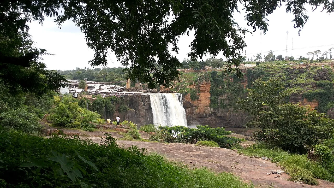
Gokak Falls

On the Ghataprabha River in Karnataka’s Belagavi district, Gokak Falls draws visitors who come to see the river’s waterfall near Gokak town.

Godachinmalki Falls

40 km away · Belagavi district

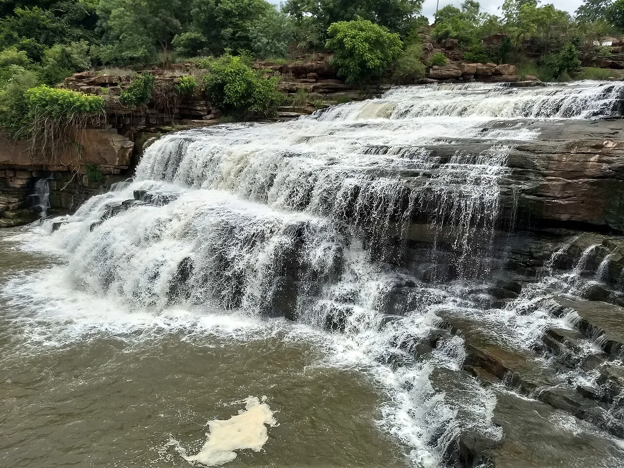
Godachinmalki Falls

Godachinmalki Falls is a two-stage waterfall on the Markandeya river in Belagavi district. Visitors come to see its cascades in a rugged valley and explore nearby river landmarks.

Belgaum Fort

75 km away · Belagavi district

Belgaum Fort

Belgaum Fort is a historic stronghold in Belgaum, Karnataka, known for its moat, ramparts, religious monuments and association with Mahatma Gandhi’s imprisonment.

Kittur Fort

99 km away · Belagavi district

Kittur Fort

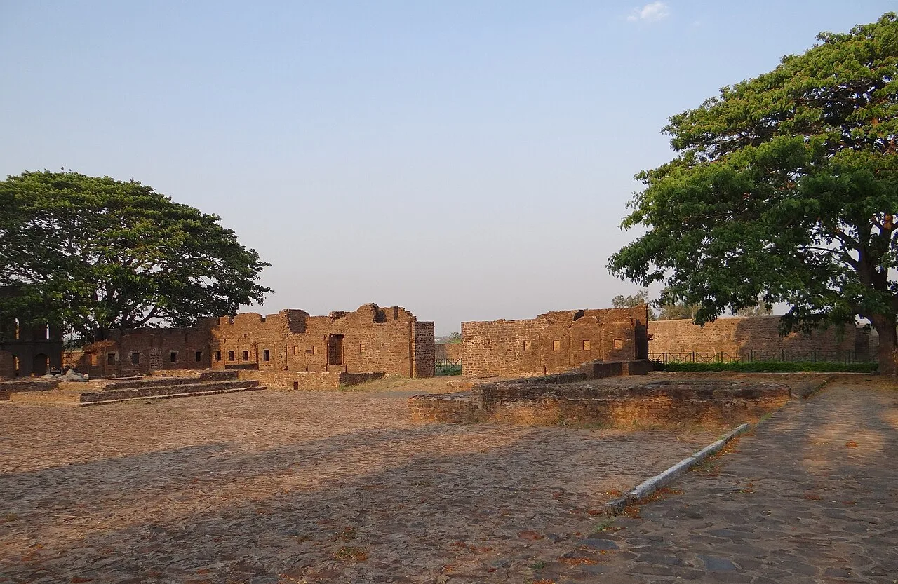
Kittur Fort is a historic site in Karnataka’s Belagavi district, associated with Rani Kittur Chennamma’s armed resistance to the British East India Company.

Ibrahim Rauza

106 km away · Vijayapura district

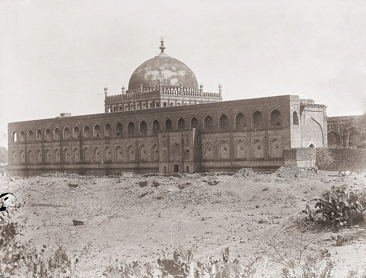
Ibrahim Rauza

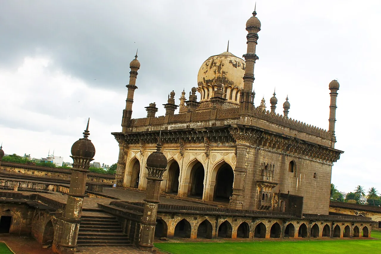
Ibrahim Rauza is a funerary complex in Vijayapura, Karnataka, bringing together a mausoleum, mosque and gardens. Visitors come to see its paired buildings, fountain and Adil Shahi architecture.

Bara Kaman

107 km away · Vijayapura district

Bara Kaman

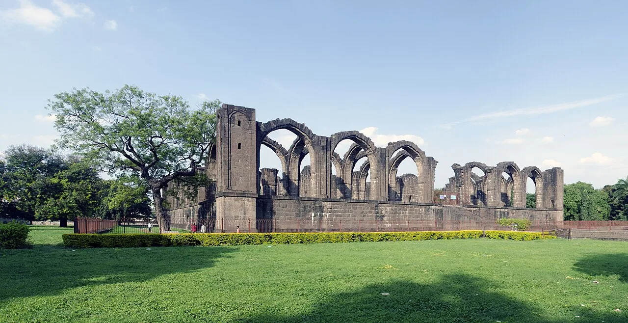
Bara Kaman is an incomplete royal burial complex in Vijayapura, Karnataka. Visitors come to see its surviving arches and learn about the ambitious mausoleum planned for Ali Adil Shah II.

Malik-e-Maidan Cannon

107 km away · Vijayapura district

Malik-e-Maidan Cannon

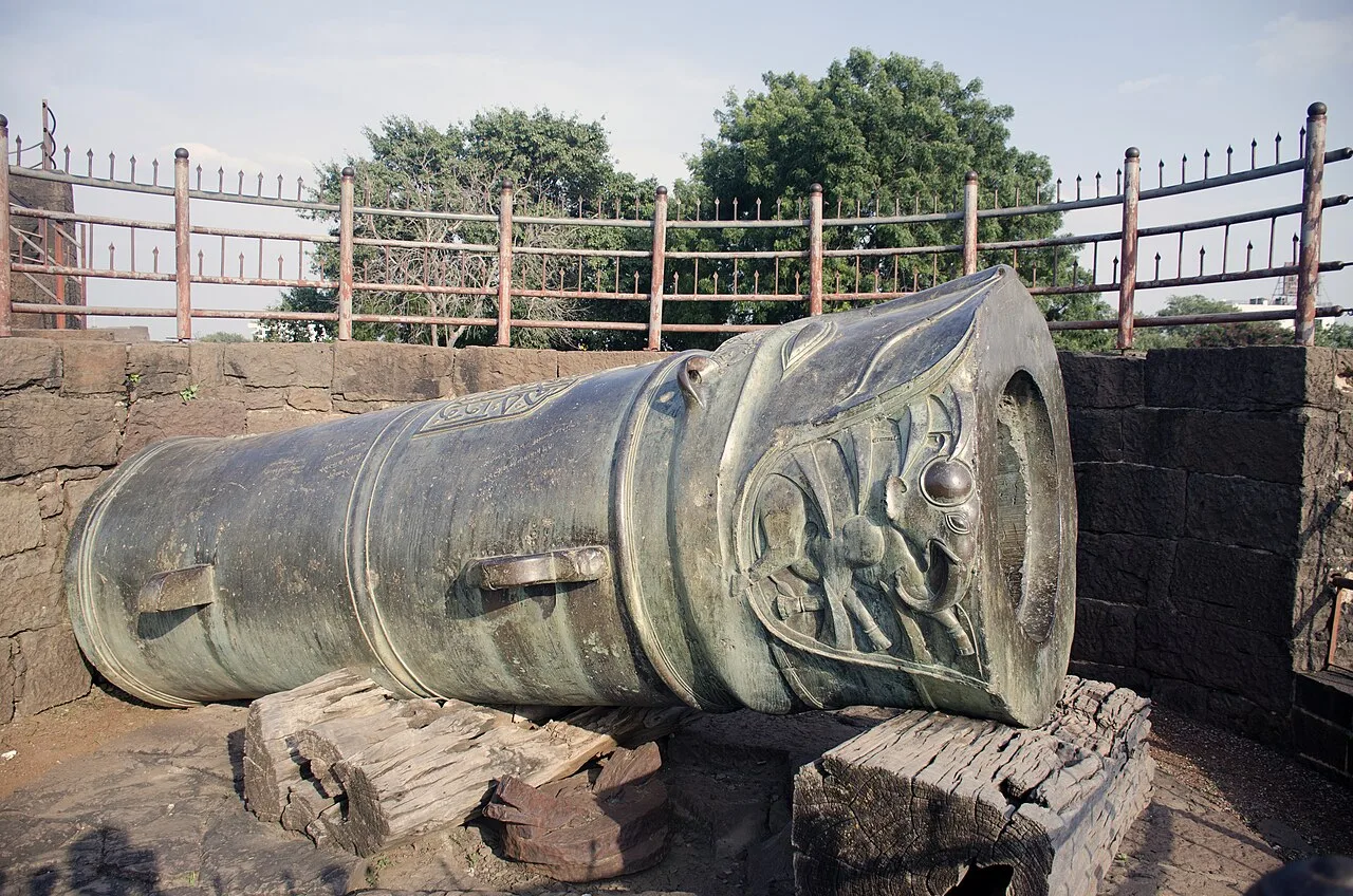
Malik-e-Maidan is a sixteenth-century cannon at Bijapur Fort, notable as the largest surviving artillery example from the medieval period and for its substantial size.

Jama Masjid, Vijayapura

108 km away · Vijayapura district

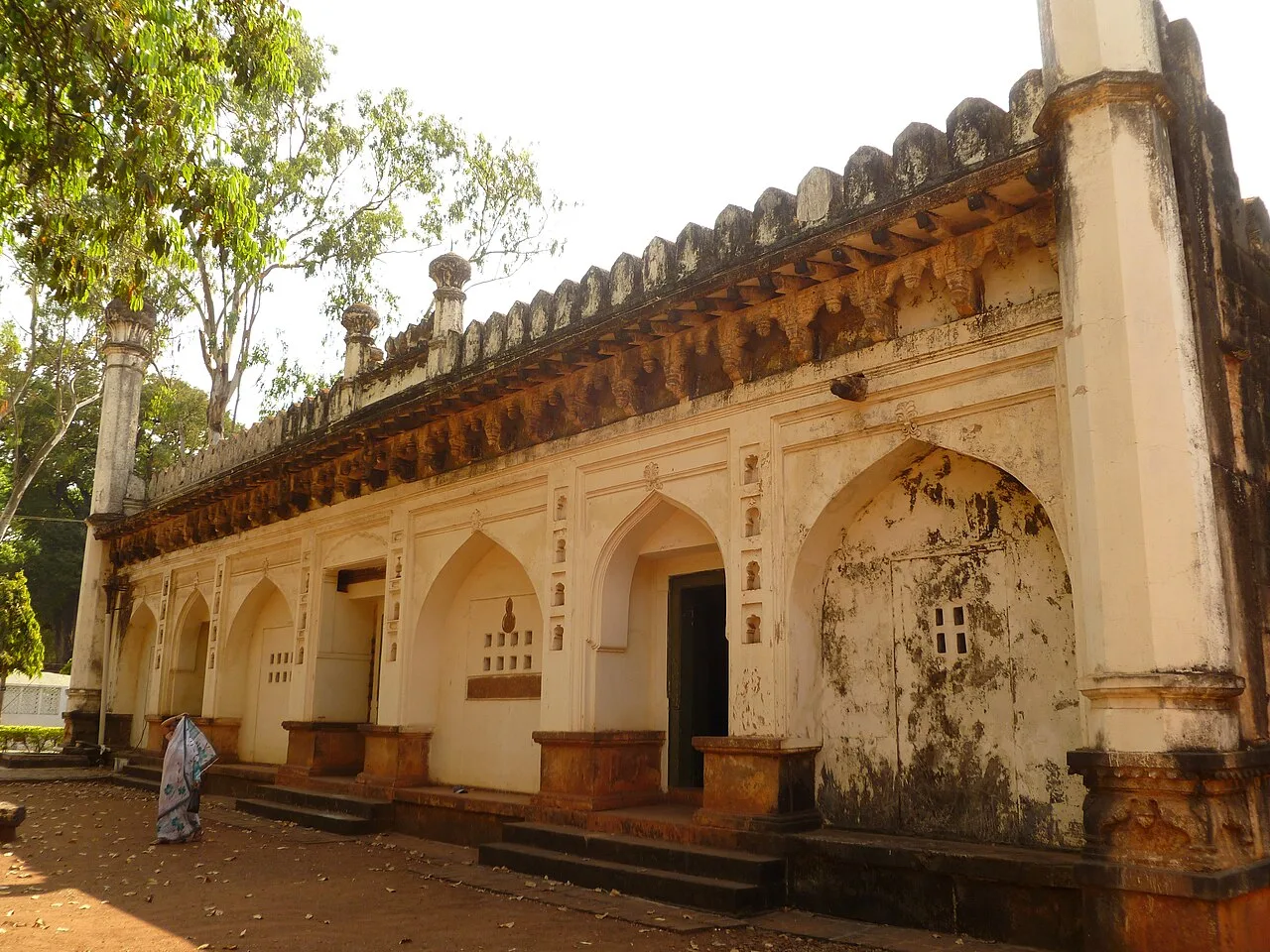
Jama Masjid, Vijayapura

Jama Masjid is a 16th-century congregational mosque in Vijayapura, Karnataka, begun under Ali Adil Shah I. Visitors come to see Bijapur’s largest mosque and its unfinished historic landmark.

Map

Raybag on the map

  1. 1Gokak Falls
  2. 2Godachinmalki Falls
  3. 3Belgaum Fort
  4. 4Kittur Fort
  5. 5Ibrahim Rauza
  6. 6Bara Kaman
  7. 7Malik-e-Maidan Cannon
  8. 8Jama Masjid, Vijayapura

Karnataka

Other cities to explore