Ghumoopedia — Explore, Discover, Experience
Sign in
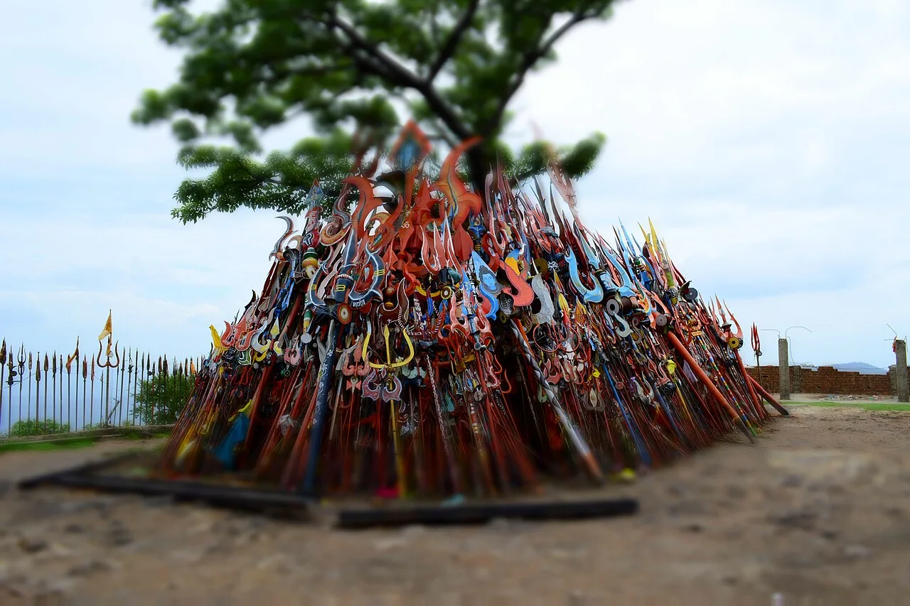
Chauragarh Temple, near Amarwara

City guide · Madhya Pradesh

Amarwara

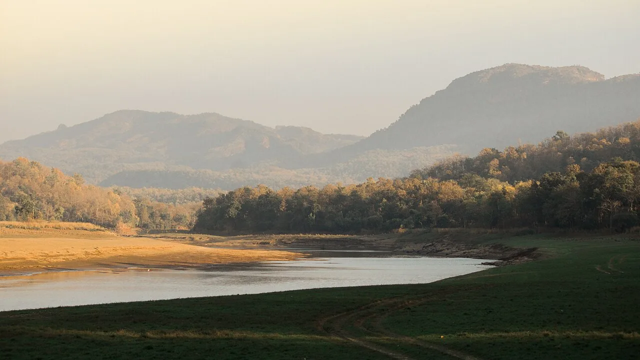
Amarwara is a small town in Chhindwara district, set among the Satpura hills of southern Madhya Pradesh. It serves as both a tehsil headquarters and a municipal centre, making it an important point for local administration, services and trade for surrounding villages.

Famous for

  • Satpura hill setting
  • Dulha Dev Ghati
  • Bhumka Ghati
  • Chhindwara tehsil centre

Why Amarwara matters

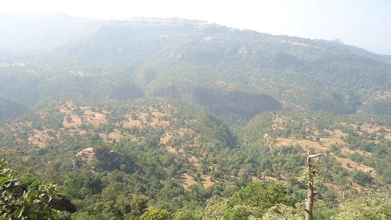
Amarwara is a small town in Chhindwara district, set among the Satpura hills of southern Madhya Pradesh. It serves as both a tehsil headquarters and a municipal centre, making it an important point for local administration, services and trade for surrounding villages. Its position between Dulha Dev Ghati and Bhumka Ghati gives the town a distinctive hill-country setting, while its roads connect it with Chhindwara and settlements across the district.

Visitors are drawn more by the landscape and everyday life of the region than by a large cluster of established tourist attractions. Amarwara offers a practical base for seeing the rural Satpura foothills, local markets and nearby countryside. The town is best understood as a regional service centre rather than a major destination for specialist shopping or heritage sightseeing. Its appeal lies in this quieter pace, its central role in the surrounding area and the contrast between the busy town centre and the green, rolling terrain beyond it.
Famous for: crafts, trade & products

Amarwara is not widely associated with a nationally recognised textile, signature handicraft or GI-tagged product. Its commercial role is chiefly local: shops and market streets serve residents of the town and nearby villages with daily goods, household needs and seasonal produce. The range and activity of the market can vary with the day and season, so visitors looking for a particular regional craft or specialist product may find more choice in Chhindwara.

For an everyday glimpse of local trade, explore the central bazaar and the streets around the town centre. Small shops are the most useful places to look for locally made goods and regional snacks, while larger stores and a broader selection of products are more likely in the district headquarters. Amarwara’s importance in trade is therefore less about a signature export and more about connecting rural communities with services and supplies. It is sensible to ask locally about seasonal produce or any temporary market activity rather than expect a permanent craft market.

History

Amarwara’s development is closely tied to its position among the Satpura hills and its role as a service centre for nearby settlements. The wider Chhindwara region has a long history of Gond communities and rulers, followed by periods of Maratha and British influence. These regional changes shaped administration and travel across the district, though detailed accounts of Amarwara’s own early history are limited.

During British rule, the area became part of the Central Provinces’ administrative landscape. In later decades, roads, public services and local government helped strengthen Amarwara’s role as a tehsil headquarters. Its present-day identity is largely civic and regional: a Nagar Palika Parishad supporting residents, businesses and surrounding villages. Rather than being known for a single royal monument or industrial transformation, the town’s growth reflects its continuing function as a local hub within Chhindwara district.

Food, festivals & culture

Daily food in Amarwara follows the broader central Indian pattern, with wheat-based breads, lentils, rice and seasonal vegetables forming familiar meals. Tea and simple snacks are common at local shops; poha and jalebi are also found across the region, though they are not exclusive to the town. For a taste of local cooking, small eateries and market-side shops are the natural places to explore.

Holi in spring, Navratri and Dussehra in autumn, and Diwali in autumn or early winter are among the main Hindu festivals; Eid is also observed by Muslim residents. Celebrations are generally centred on homes, neighbourhoods and places of worship. Hindi is widely used, while Gondi and Marathi may also be heard in the wider district. Local music and dance are most visible during festival gatherings and community events, with traditions varying between communities. Temples and mosques serve as important places of worship; visitors should follow local customs and dress respectfully.

Visiting the city

The most comfortable time to visit is generally October to February, when days are milder and the countryside is often greener after the monsoon. Summers can be hot, while monsoon travel may involve heavy rain. Amarwara stands at about 796 metres above sea level, among the Satpura hills.

Nagpur’s Dr. Babasaheb Ambedkar International Airport is the nearest major airport. Chhindwara Junction is the main railway station for reaching the area; onward travel to Amarwara is by road. Buses, taxis and local shared vehicles connect the town with Chhindwara and nearby settlements, while auto-rickshaws can be useful for short trips within town. Explore the central bazaar and civic centre for everyday town life, then follow local roads towards the surrounding hill country. Check road conditions locally during the rainy season.

Trips from the city

Nearest places to visit from Amarwara

Our closest destination guides, by straight-line distance.

Chauragarh Temple

57 km away · Hoshangabad district

Chauragarh Temple

Chauragarh Temple is a historic religious and fort complex in Madhya Pradesh, set on a Satpuda peak. Visitors come to see its shrine, fort remains and structures associated with Gond rulers.

Pench Tiger Reserve

68 km away · Seoni district

Pench Tiger Reserve

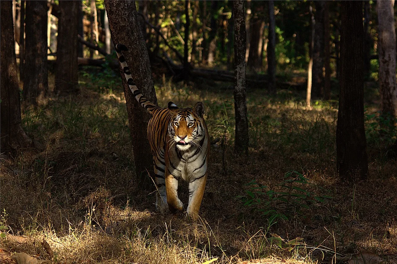
Pench Tiger Reserve is a protected tiger landscape shared by Madhya Pradesh and Maharashtra. Visitors come to explore its wildlife habitat and look for tigers.

Pench National Park

71 km away · Seoni district

Pench National Park

Pench National Park is a protected area in Madhya Pradesh and a core component of Pench Tiger Reserve. Visitors come to explore the park within the wider reserve.

Patalkot

73 km away · Chhindwara district

Patalkot

Patalkot is a valley within Tamia tehsil, Chhindwara district, Madhya Pradesh, about 78 km from the district headquarters. Visitors are drawn by its tribal culture and rich herbal resources.

Jatashankar

78 km away · Hoshangabad district

Jatashankar

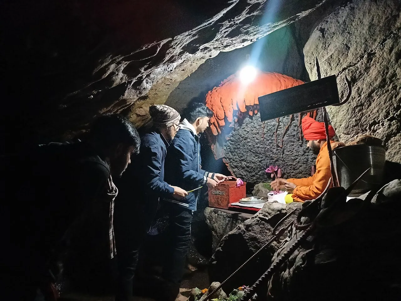
Jatashankar, also called Jata Shankar, is a cave shrine dedicated to Shiva north of Pachmarhi in Madhya Pradesh, visited by pilgrims to worship its natural lingams.

Pachmarhi Hill Station

80 km away · Hoshangabad district

Pachmarhi Hill Station

Pachmarhi is a hill station in Madhya Pradesh’s Satpura range, known as the Queen of Satpura. Visitors come for its elevated setting and its location within protected natural areas.

Dhupgarh Peak

84 km away · Hoshangabad district

Dhupgarh Peak

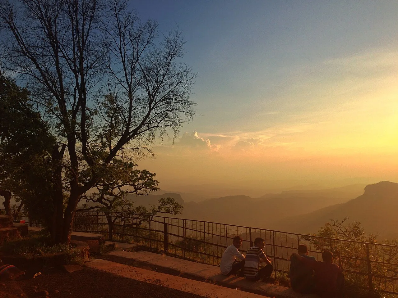
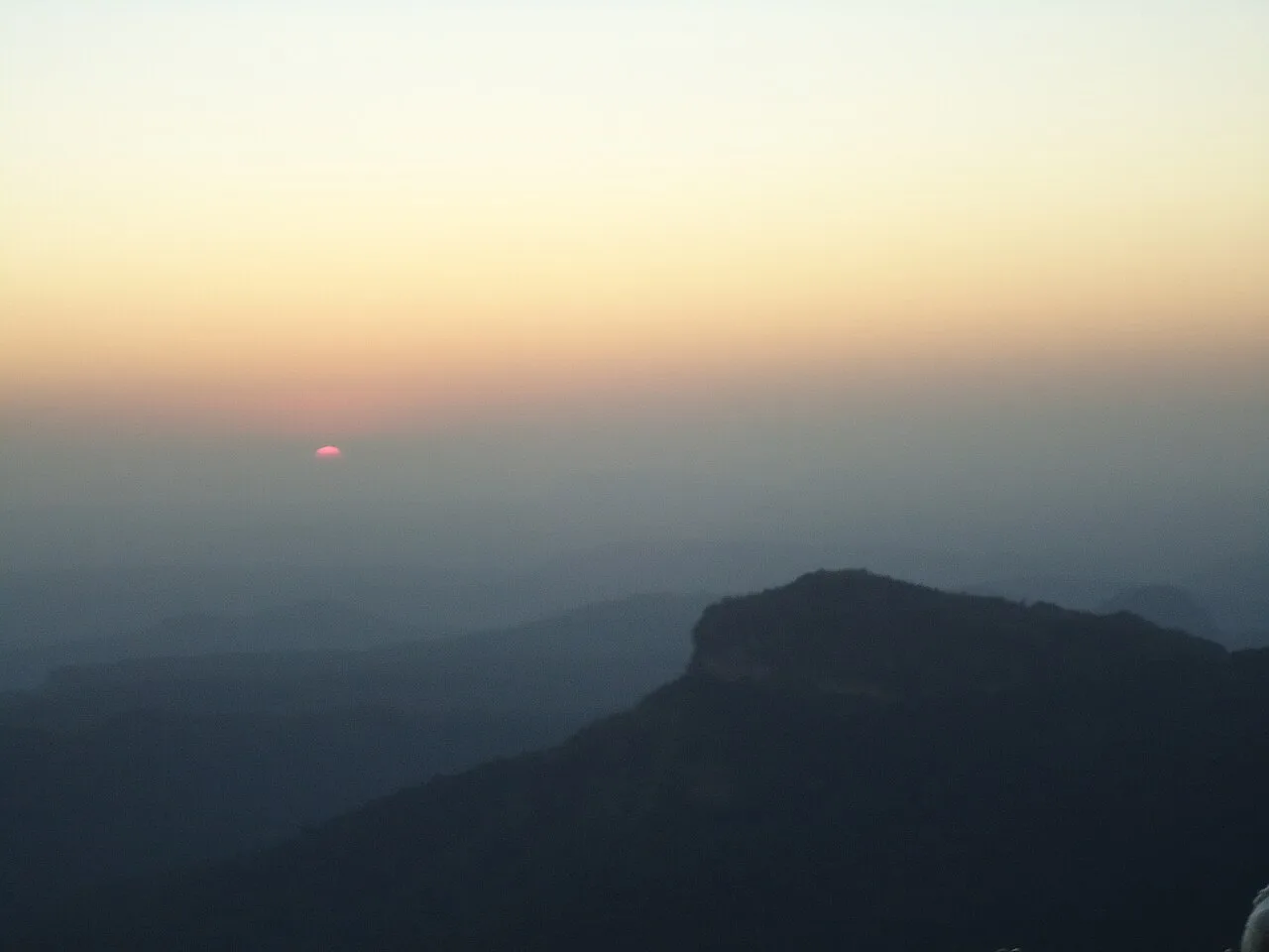
Dhupgarh, also known as Dhoopgarh, is a summit in Madhya Pradesh’s Satpura Range. Visitors go to the peak in Pachmarhi to watch the sun set.

Satpura Tiger Reserve

99 km away · Hoshangabad district

Satpura Tiger Reserve

In Madhya Pradesh’s Narmadapuram district, Satpura Tiger Reserve takes its name from the Satpura Range. Visitors come to experience its abundant plant life and wildlife.

Map

Amarwara on the map

  1. 1Chauragarh Temple
  2. 2Pench Tiger Reserve
  3. 3Pench National Park
  4. 4Patalkot
  5. 5Jatashankar
  6. 6Pachmarhi Hill Station
  7. 7Dhupgarh Peak
  8. 8Satpura Tiger Reserve

Madhya Pradesh

Other cities to explore