Ghumoopedia — Explore, Discover, Experience
Sign in
Patalkot, near Amla

City guide · Madhya Pradesh

Amla

Amla is a municipal town in Betul district and the administrative centre of Amla Subdivision. Its role is primarily regional: the town serves nearby settlements with subdivision-level administration, rail connections and everyday markets.

Famous for

  • Pachama waterfall
  • Amla railway station
  • Amla subdivision centre
  • Bodkhi market
  • Mango-derived place name
Plan a tripHotels near Amla

Why Amla matters

Amla is a municipal town in Betul district and the administrative centre of Amla Subdivision. Its role is primarily regional: the town serves nearby settlements with subdivision-level administration, rail connections and everyday markets. Amla Town and Bodkhi are useful places to see this local activity, while the railway station is a key point of arrival and departure.

For visitors, the best-known nearby natural attraction is Pachama waterfall, about 20 kilometres from the railway station. Amla is better suited to a short stop or a base for exploring this part of Betul district than to a conventional, monument-focused city break. Its appeal lies in its working-town character, its markets and its setting within Madhya Pradesh’s forested district landscape. The town’s name is associated with the mango, though a popular expansion of it as “Ammunition Land” is a later backronym, not an established historical origin.
Famous for: crafts, trade & products

Amla is not widely identified with a particular textile, handicraft, GI-tagged product or signature food. Its commercial life is centred on serving local residents and surrounding settlements rather than on a nationally recognised specialist trade. Bodkhi and Amla Town markets are the main areas to browse for ordinary shopping and to get a sense of the town’s daily rhythm; visitors should not expect a dedicated craft bazaar or a well-known product district.

The town’s most notable institutions are connected with administration and rail travel. Amla is the headquarters of its subdivision and has a railway station that has played a practical role in regional movement. These functions, along with its local markets, give it importance beyond its size as a visitor destination. Travellers looking for distinctive crafts or regional products may find a wider selection by exploring other towns in Betul district, but should ask locally about seasonal produce and small makers rather than assume that a particular item is an Amla speciality.

History

Amla’s earlier history belongs to the Central Provinces of British India. The wider region’s past under successive Muslim rulers influenced local place-names, and names in Betul district often refer to plants or trees. Amla is traditionally linked to the mango, or aam. The claim that its name abbreviates “Ammunition Land” is a modern backronym rather than a reliable account of its origin.

In the colonial period and after, rail transport helped connect Amla with other parts of the region. The railway station once had a base kitchen for catering; this facility was moved to Itarsi in 1989. In modern Madhya Pradesh, Amla developed as a municipality and became the administrative centre of Amla Subdivision, giving it a continuing role in local governance and commerce. Its growth has therefore been shaped less by a single celebrated monument or royal court than by administration, rail links and services for nearby communities.

Food, festivals & culture

Everyday food in Amla reflects the broader central Indian home table: meals commonly draw on wheat or rice, lentils, seasonal vegetables and familiar snacks. The town is not especially known for a signature dish or sweet, so visitors looking for a local speciality can ask residents what is in season rather than expect a famous Amla recipe. Hindi is the most useful language for visitors; Marathi and regional tribal languages are also part of the wider Betul district’s linguistic landscape.

Holi in spring, Diwali in autumn and Navratri are among the major Hindu festival periods, while Eid is observed by Muslim communities. These occasions bring prayer, family visits and local gatherings, with the scale and customs varying between neighbourhoods. Temples and mosques serve as places of worship and community life. Music and dance at celebrations draw on both popular Hindi forms and traditions found across the district; Amla itself is not particularly known for a distinctive performance style.

Visiting the city

The cooler months, roughly October to March, are generally the most comfortable for exploring Amla. Pachama waterfall is a nearby outing, around 20 kilometres from the railway station; monsoon and the period after it can make a waterfall visit more rewarding, though local conditions should be checked. The main rail access is Amla railway station. The nearest major airport is Dr. Babasaheb Ambedkar International Airport in Nagpur.

Auto-rickshaws and local road transport are practical for moving around town; arrange onward travel to the waterfall locally. Explore Amla Town and Bodkhi for markets and everyday street life. As Amla is a working administrative centre rather than a large sightseeing hub, allow time for local transport when planning trips beyond the town.

Trips from the city

Nearest places to visit from Amla

Our closest destination guides, by straight-line distance.

Patalkot

50 km away · Chhindwara district

Patalkot

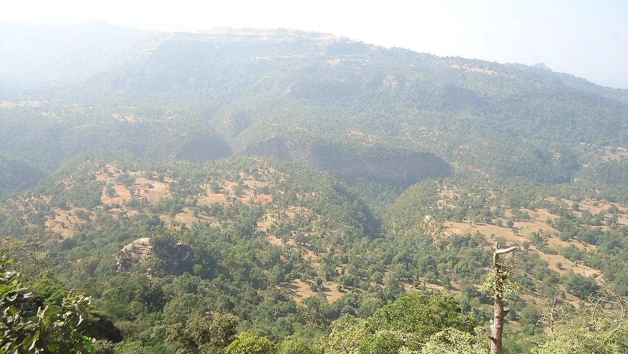
Patalkot is a valley within Tamia tehsil, Chhindwara district, Madhya Pradesh, about 78 km from the district headquarters. Visitors are drawn by its tribal culture and rich herbal resources.

Dhupgarh Peak

64 km away · Hoshangabad district

Dhupgarh Peak

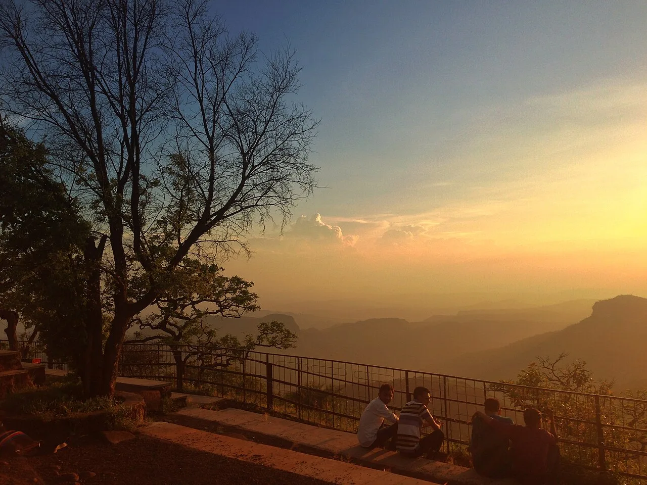
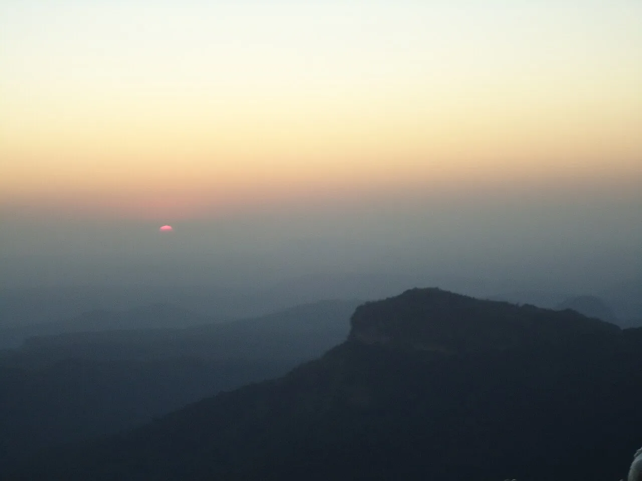
Dhupgarh, also known as Dhoopgarh, is a summit in Madhya Pradesh’s Satpura Range. Visitors go to the peak in Pachmarhi to watch the sun set.

Satpura Tiger Reserve

64 km away · Hoshangabad district

Satpura Tiger Reserve

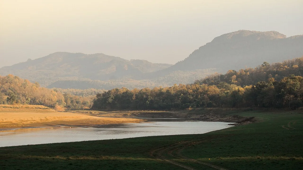
In Madhya Pradesh’s Narmadapuram district, Satpura Tiger Reserve takes its name from the Satpura Range. Visitors come to experience its abundant plant life and wildlife.

Pachmarhi Hill Station

67 km away · Hoshangabad district

Pachmarhi Hill Station

Pachmarhi is a hill station in Madhya Pradesh’s Satpura range, known as the Queen of Satpura. Visitors come for its elevated setting and its location within protected natural areas.

Jatashankar

70 km away · Hoshangabad district

Jatashankar

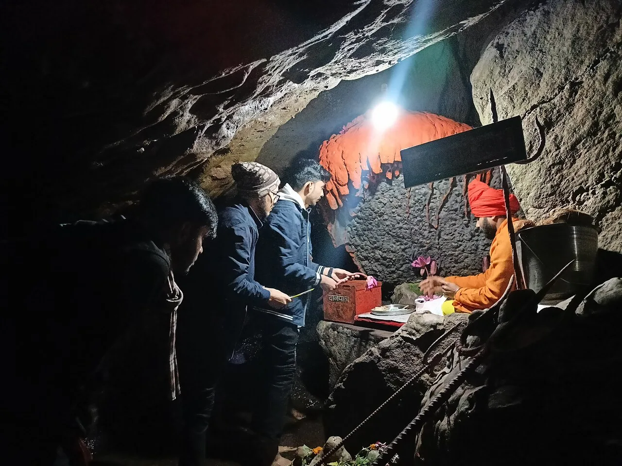
Jatashankar, also called Jata Shankar, is a cave shrine dedicated to Shiva north of Pachmarhi in Madhya Pradesh, visited by pilgrims to worship its natural lingams.

73 km away · Narmadapuram district

Tawa Dam

Tawa Dam is an irrigation structure in Madhya Pradesh that created a reservoir on the Tawa River; visitors are drawn there particularly during the monsoon season.

Muktagiri

81 km away · Betul district

Muktagiri

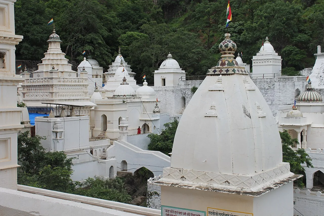
Muktagiri, also known as Mendhagiri, is a Jain pilgrimage centre on the Madhya Pradesh–Maharashtra boundary. People visit for its importance as a Jain pilgrimage destination.

Sethani Ghat, Narmadapuram

102 km away · Hoshangabad district

Sethani Ghat, Narmadapuram

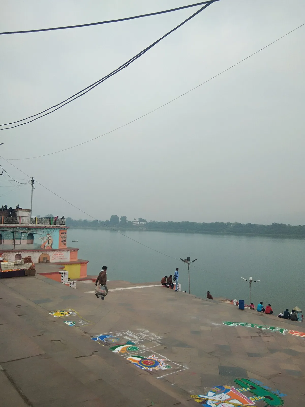
Sethani Ghat is a nineteenth-century riverfront structure at Narmadapuram, Madhya Pradesh. People visit for its scale and for Narmada Jayanti, when devotees gather and float lamps on the river.

Map

Amla on the map

  1. 1Patalkot
  2. 2Dhupgarh Peak
  3. 3Satpura Tiger Reserve
  4. 4Pachmarhi Hill Station
  5. 5Jatashankar
  6. 6Tawa Dam
  7. 7Muktagiri
  8. 8Sethani Ghat, Narmadapuram

Madhya Pradesh

Other cities to explore